|
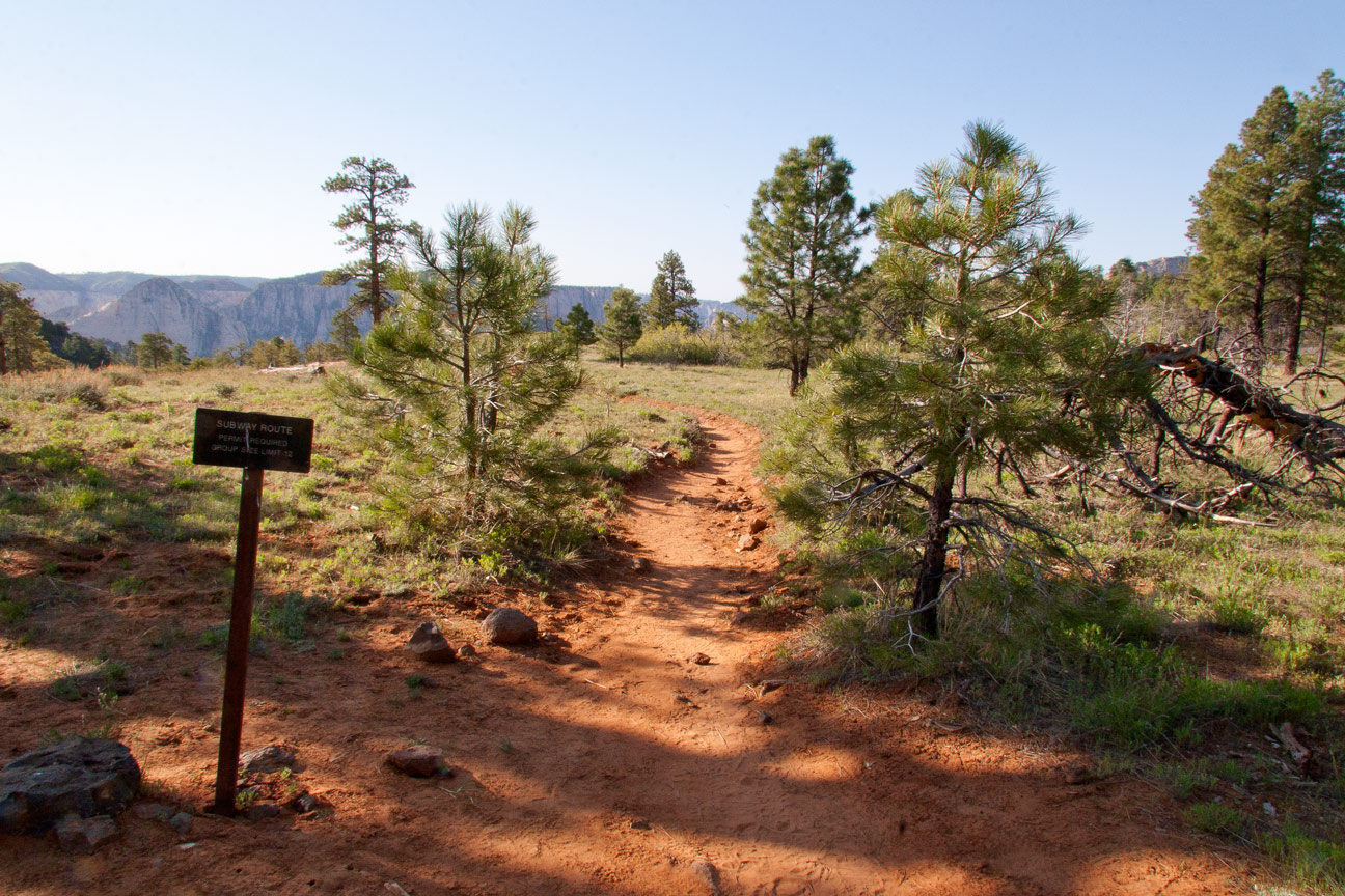
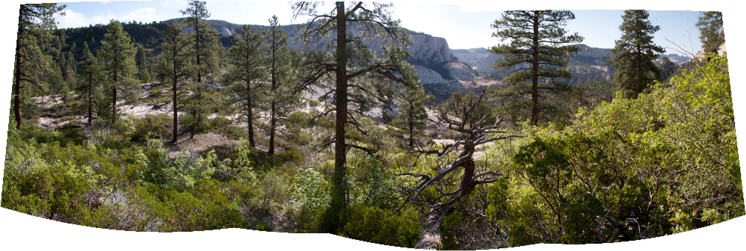
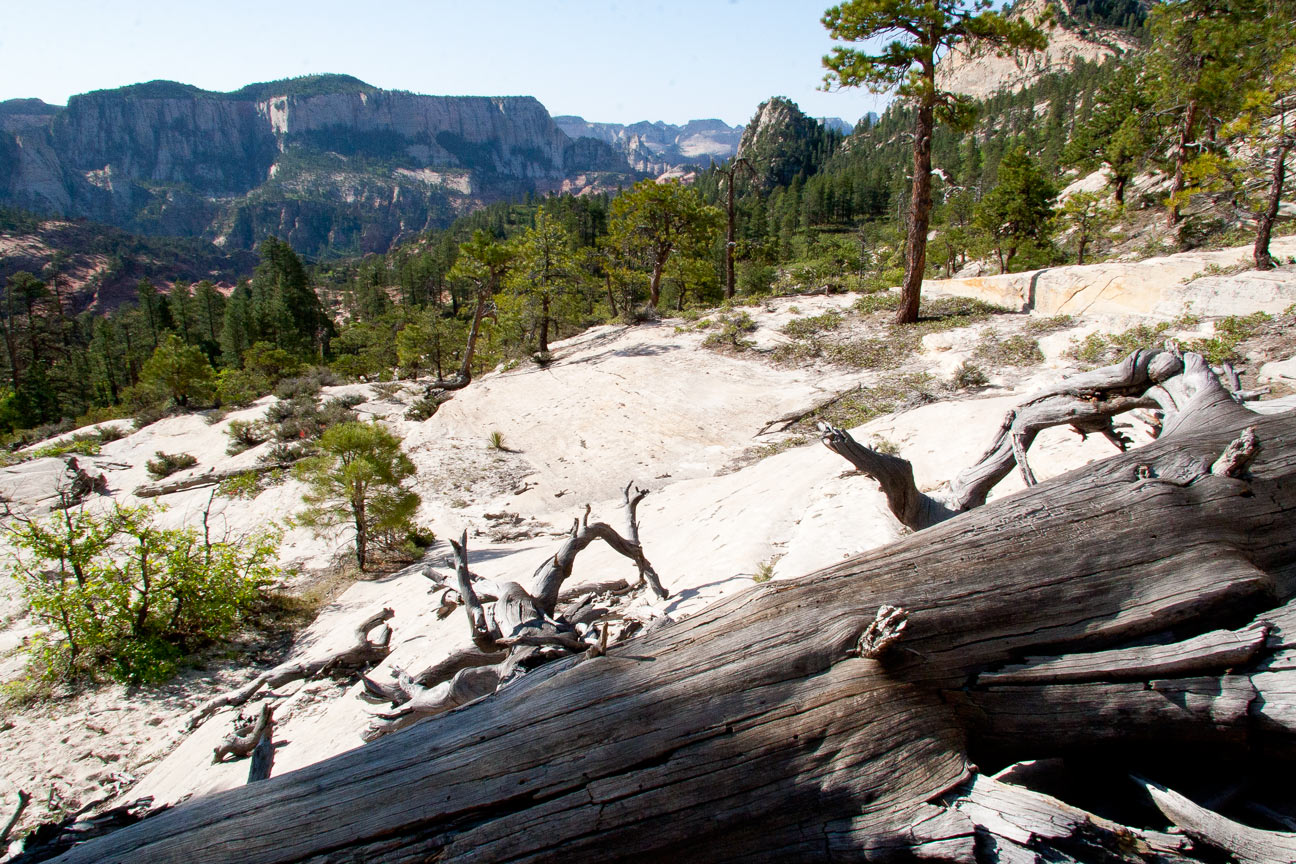
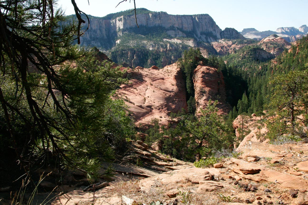
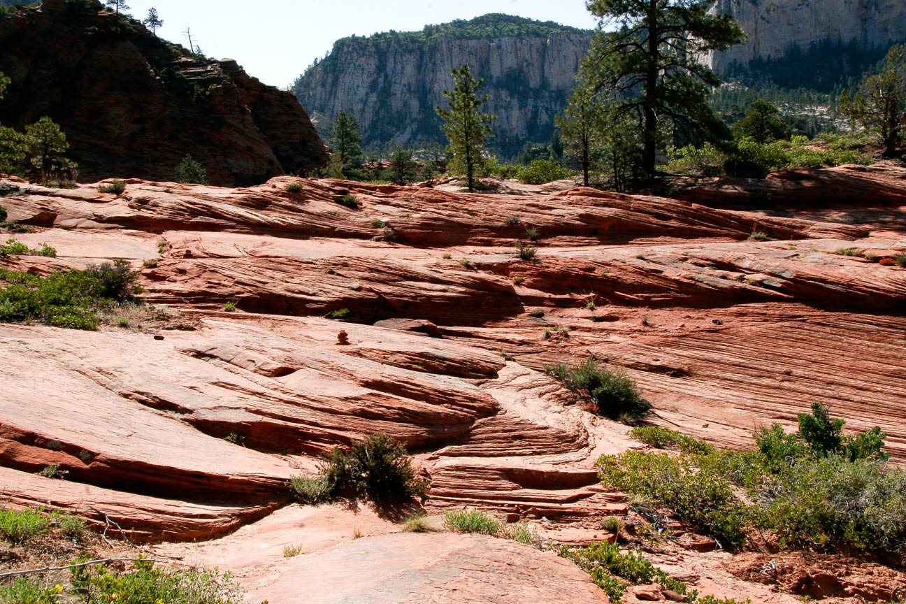
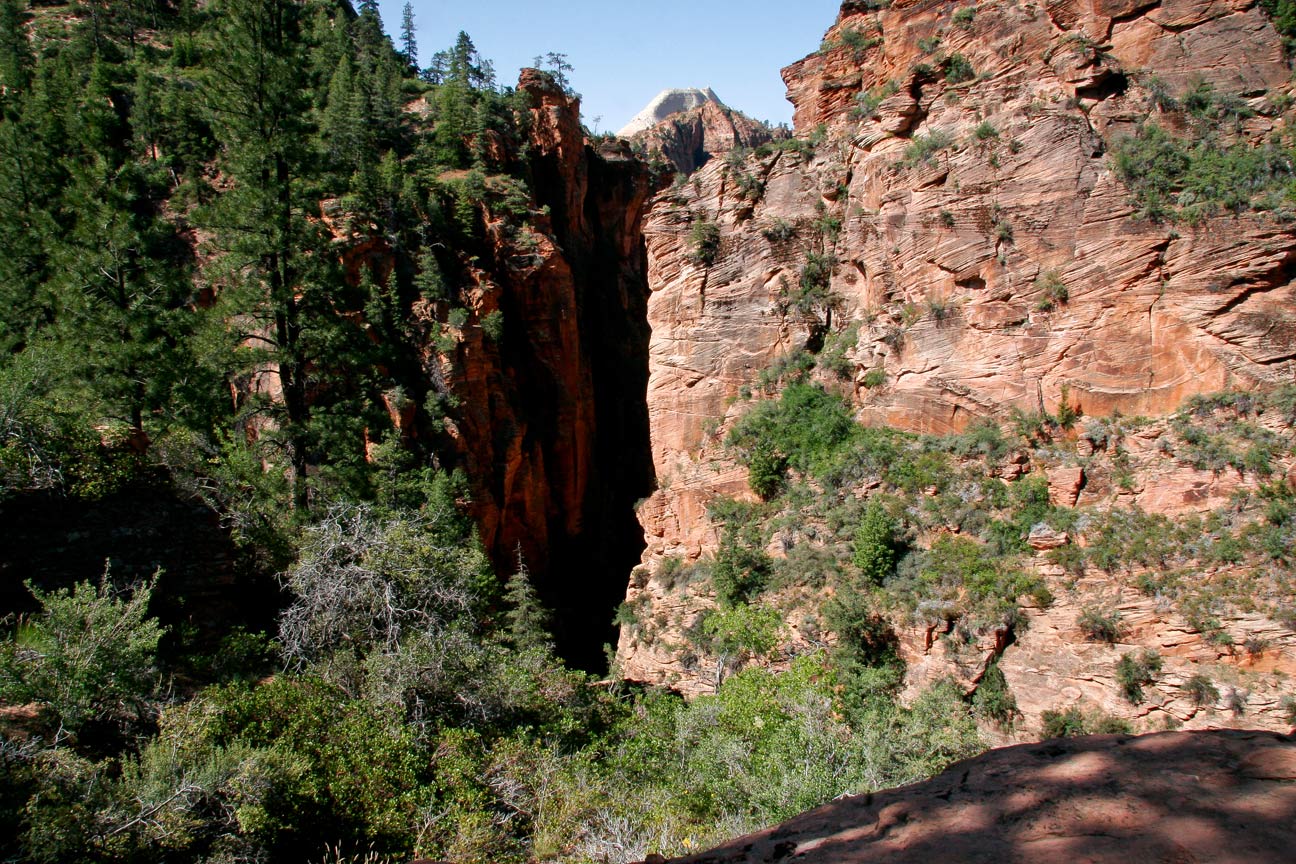
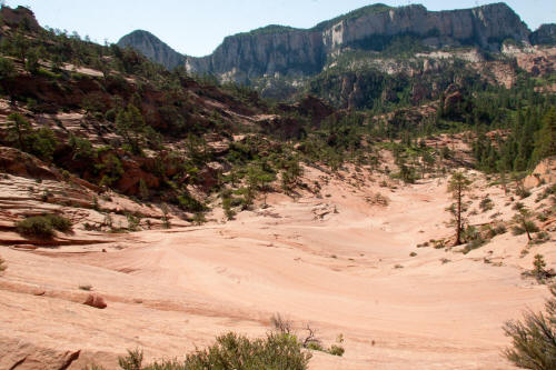
Looking southeast from the Wildcat Canyon trailhead for the top down Subway route.
From this point it is slightly over three miles to the down climb into
the canyon created by the Left Fork of North Creek
1
|
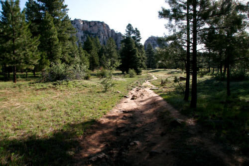 |
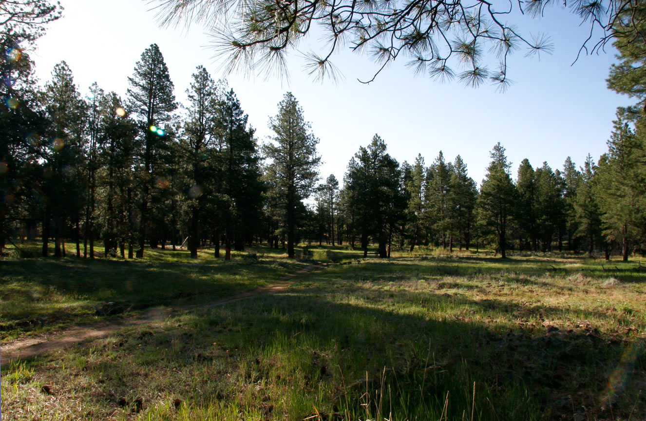
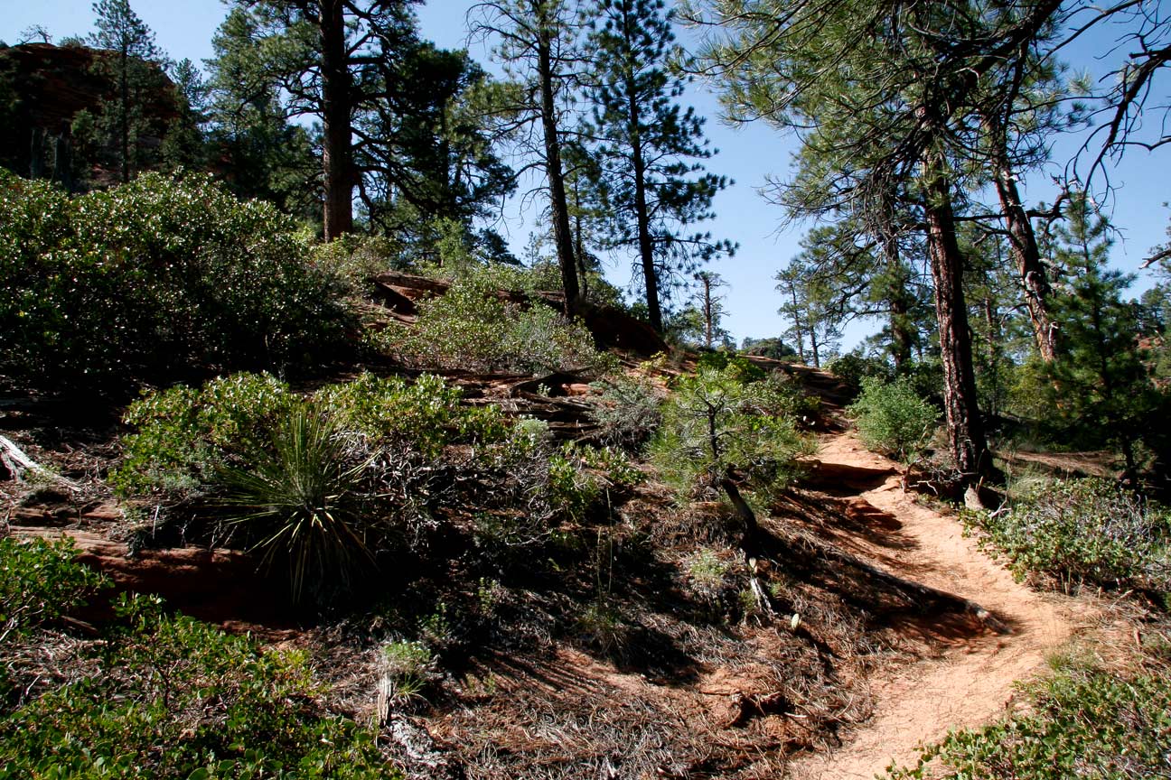
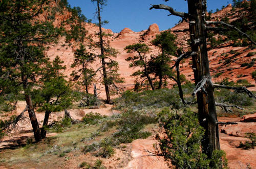
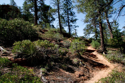
View is northeast very near the trailhead. The route initially
traverses through a flat forested mesa top of ponderosa pine known as
Pine Valley.
2
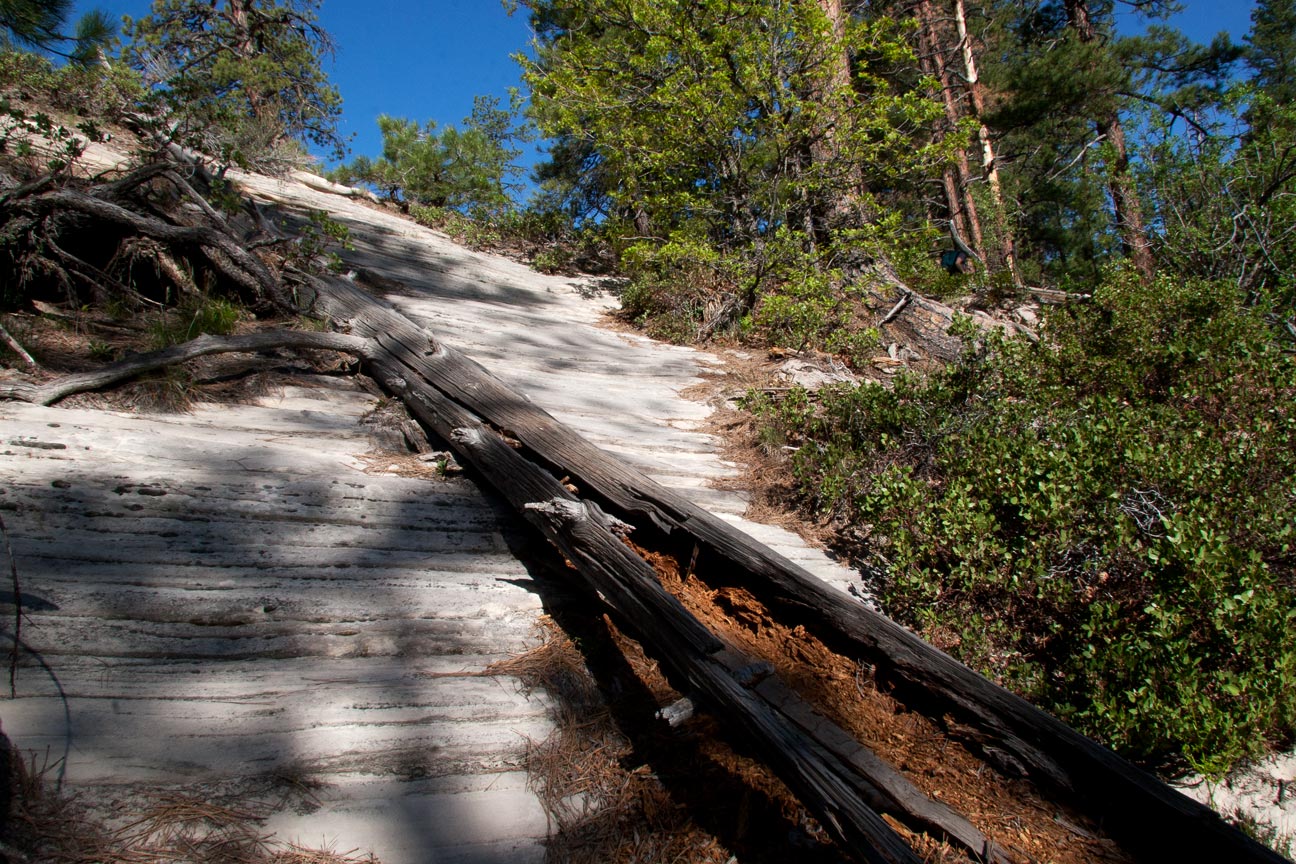
|
 |
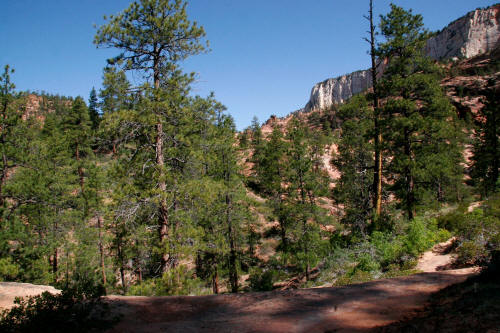
Another view of the trail as it crosses
Pine Valley.
3
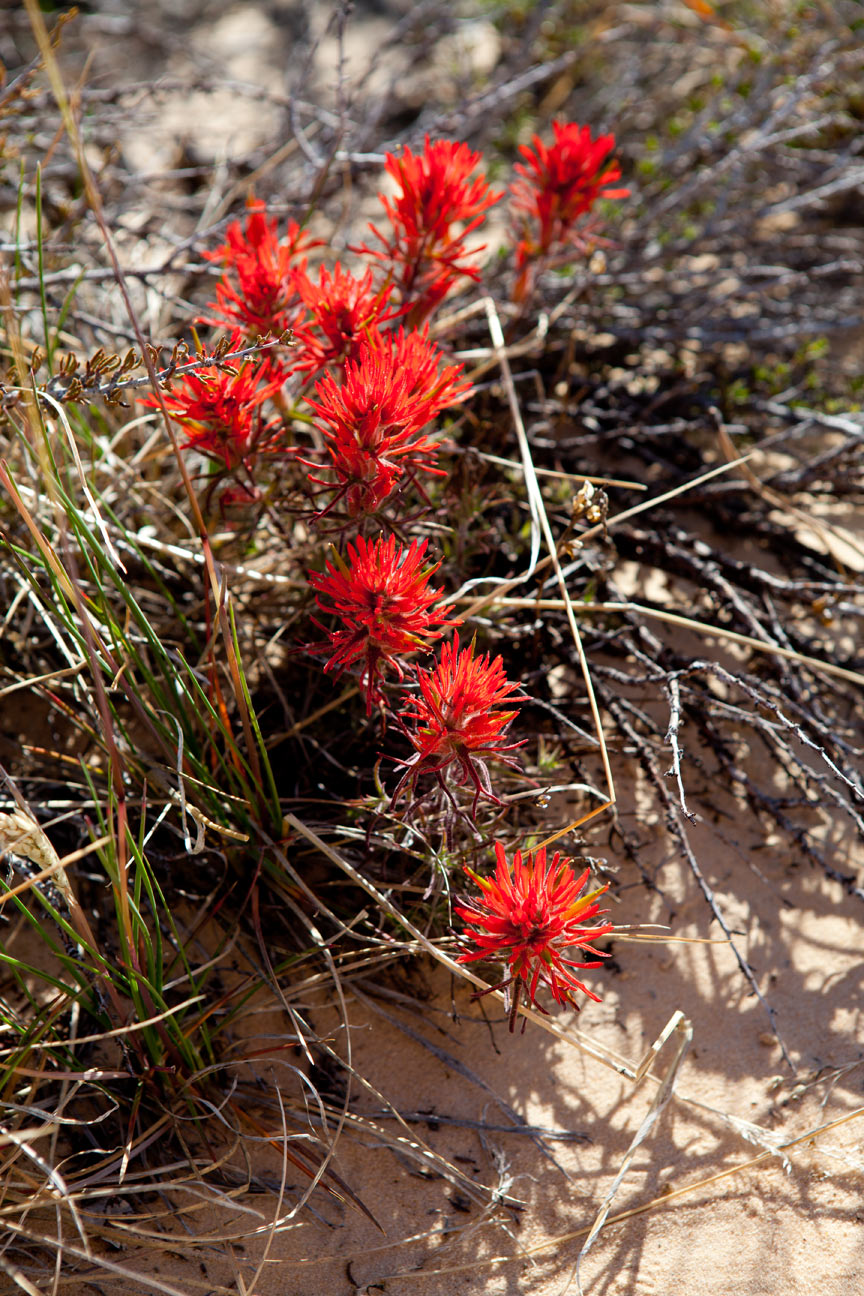
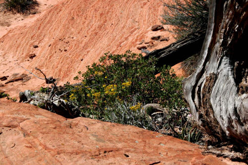
|
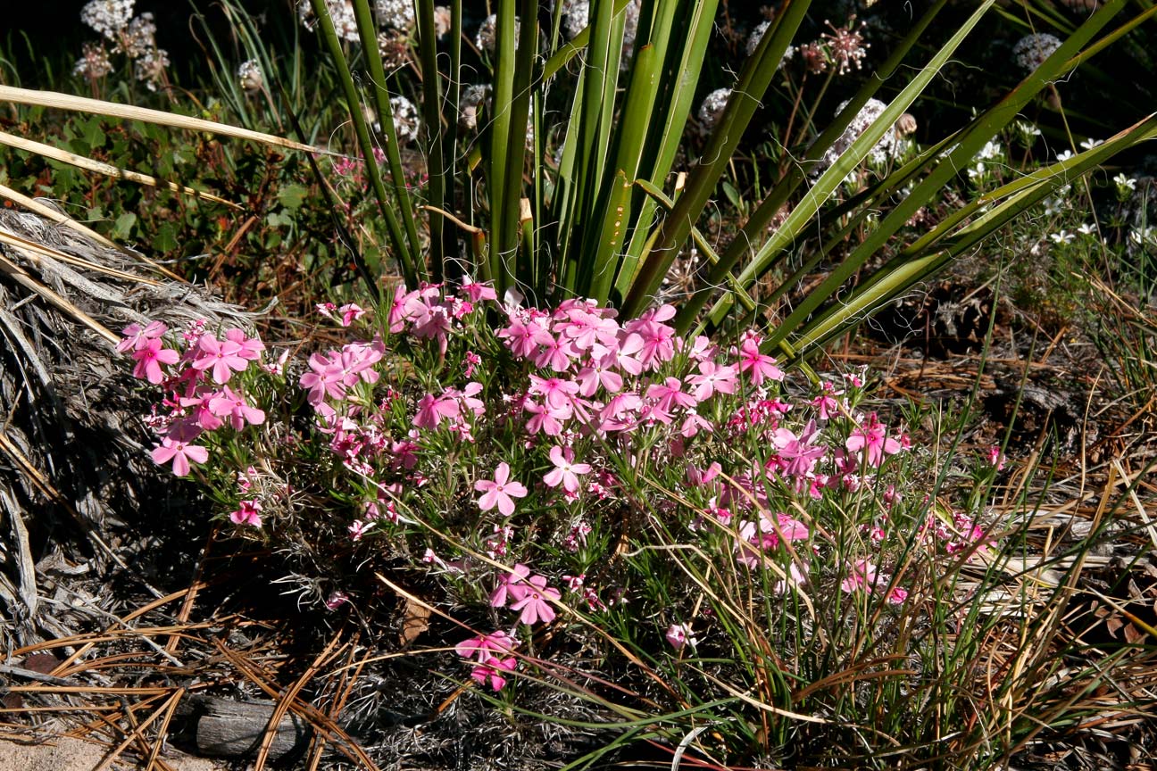
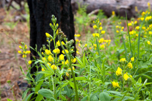 |
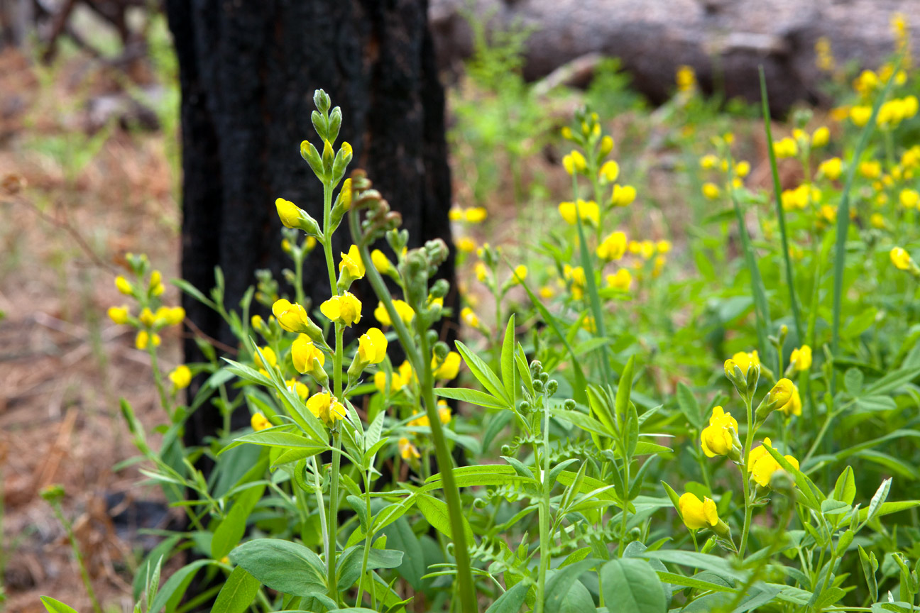
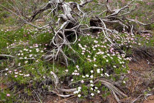
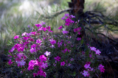
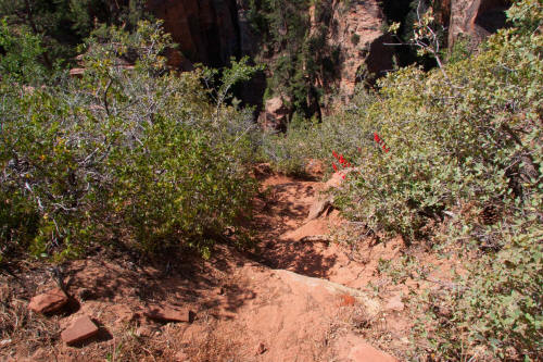
View of wildflowers along the trail as it crosses
Pine Valley.
4
|
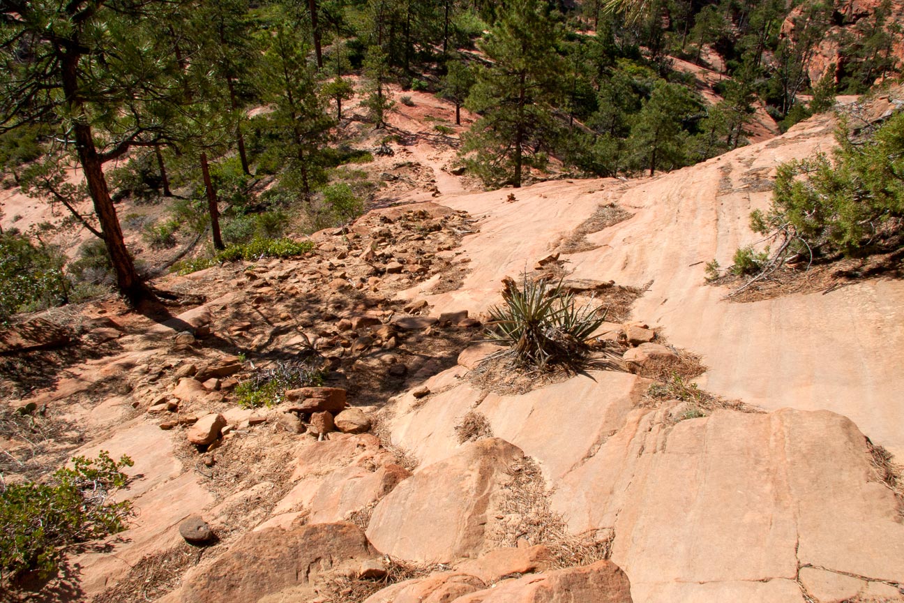
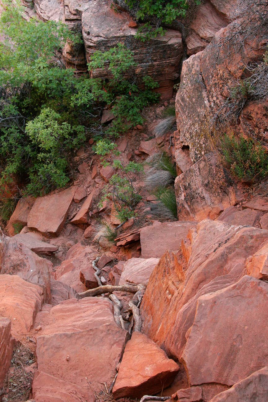
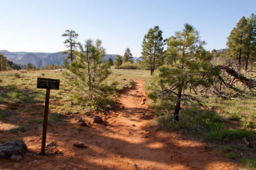 |
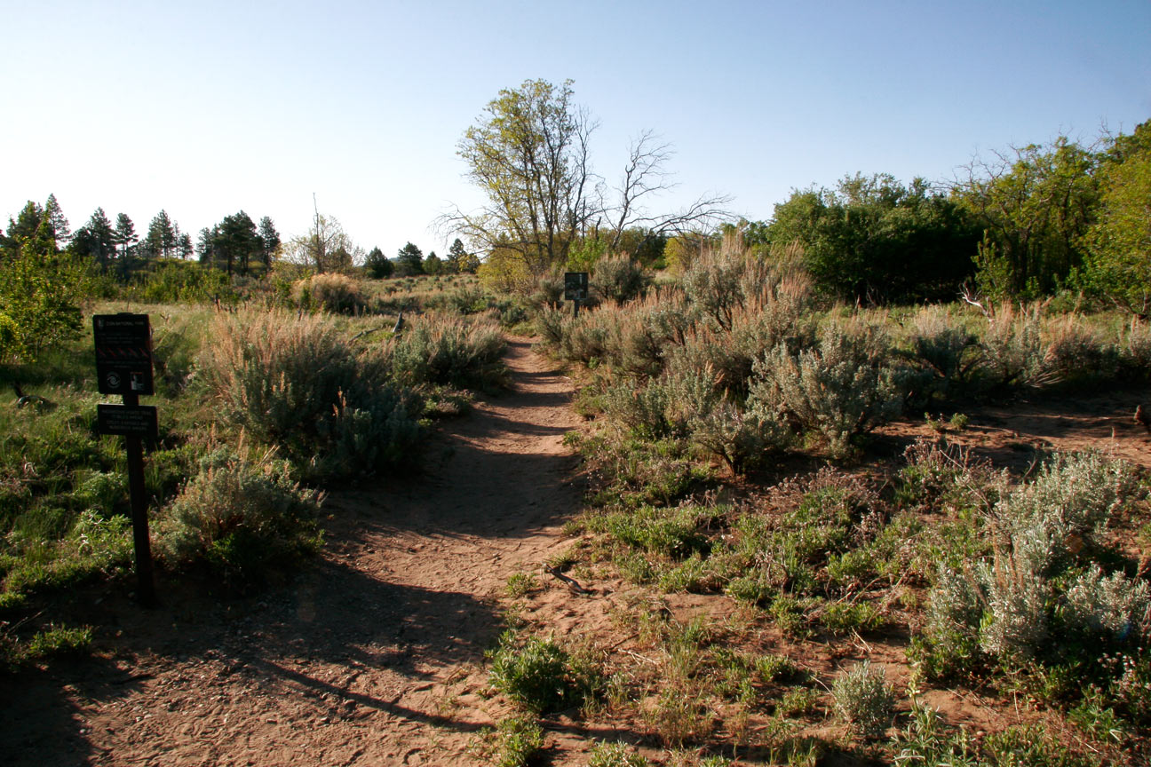
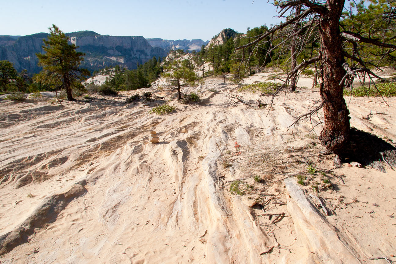
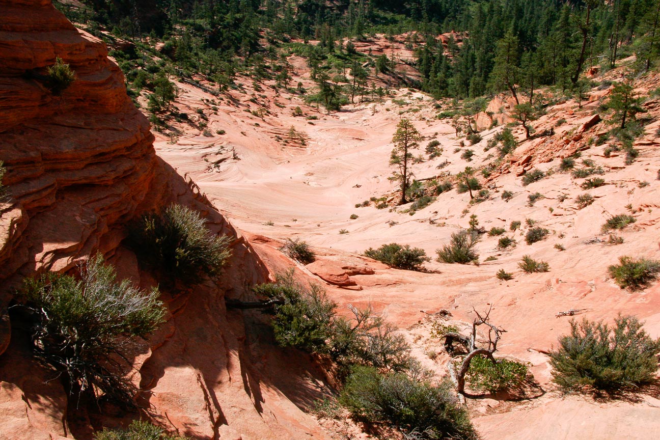
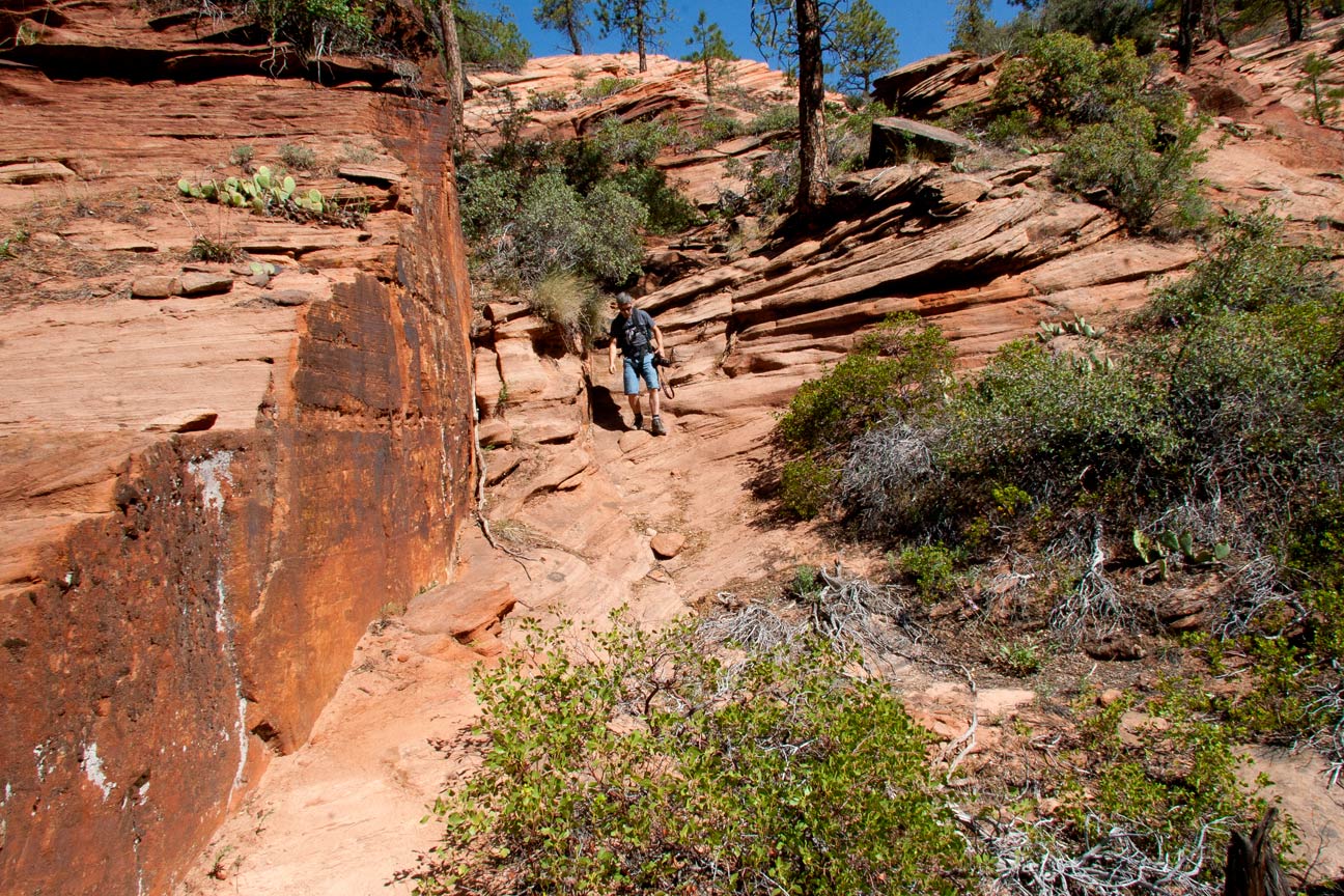
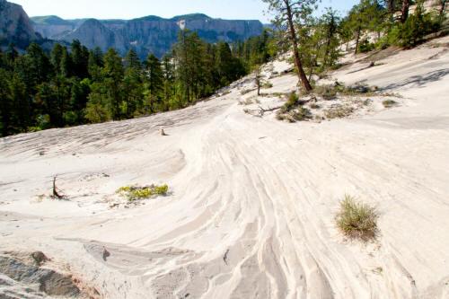
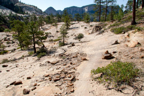
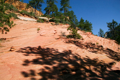
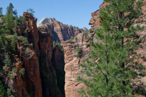
View is south southeast at the point the trail breaks out of the
forested area onto an exposed sandstone bench. This is the
beginning of the Subway route. It is about one mile from the
trailhead to this point as it descends to Russell Gulch.
5
|
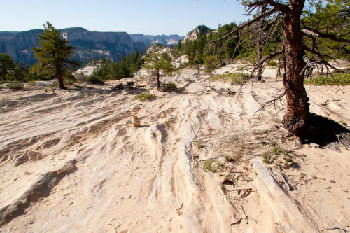 |
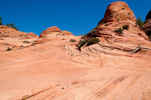
View south southeast on the exposed Navajo sandstone. The trail
from this point descends constantly for the next mile plus.
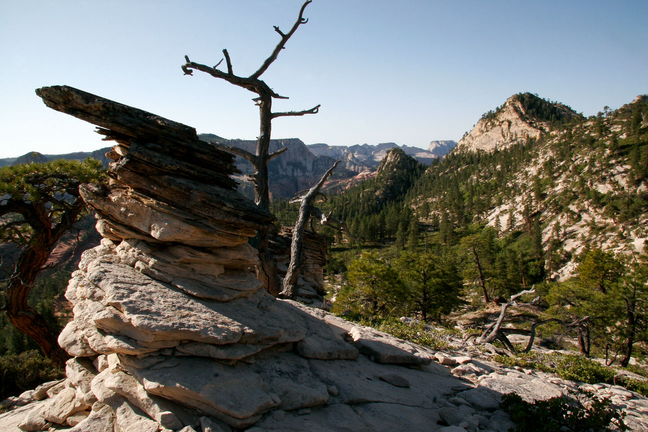
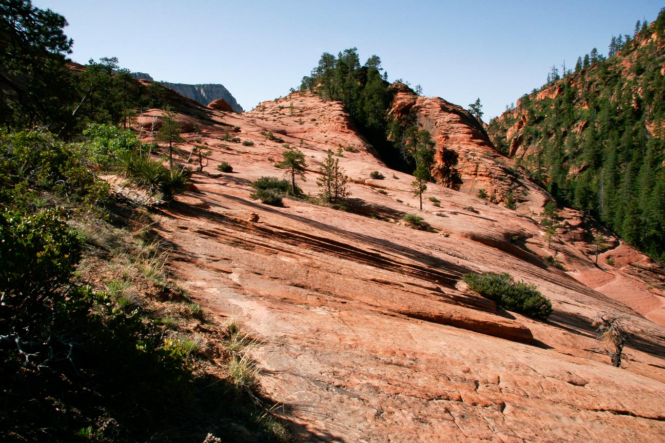
6
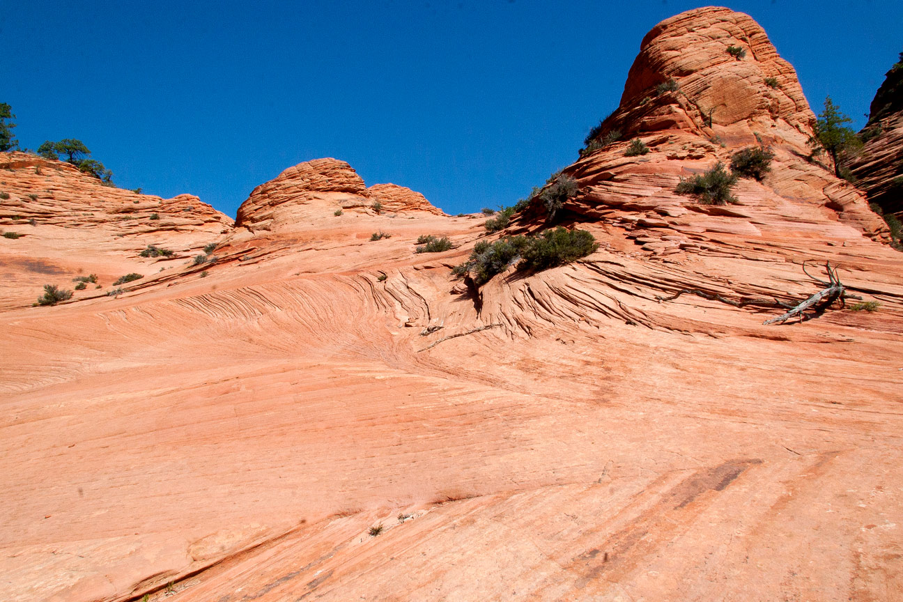
|
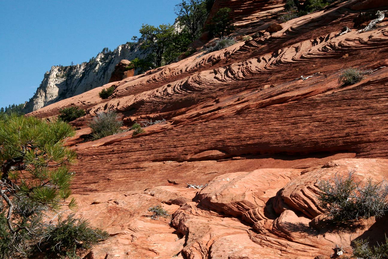
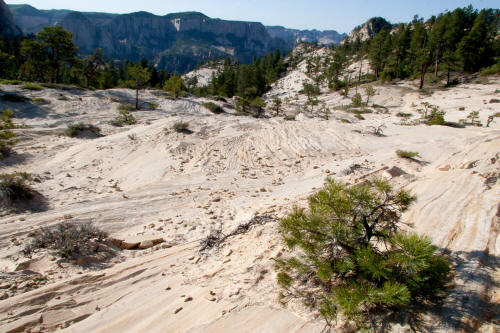 |
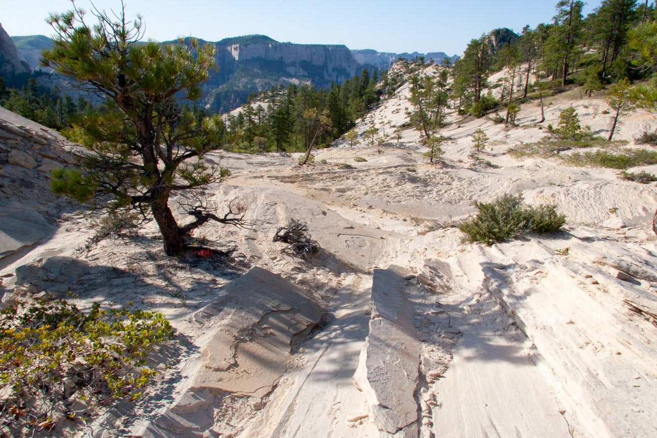
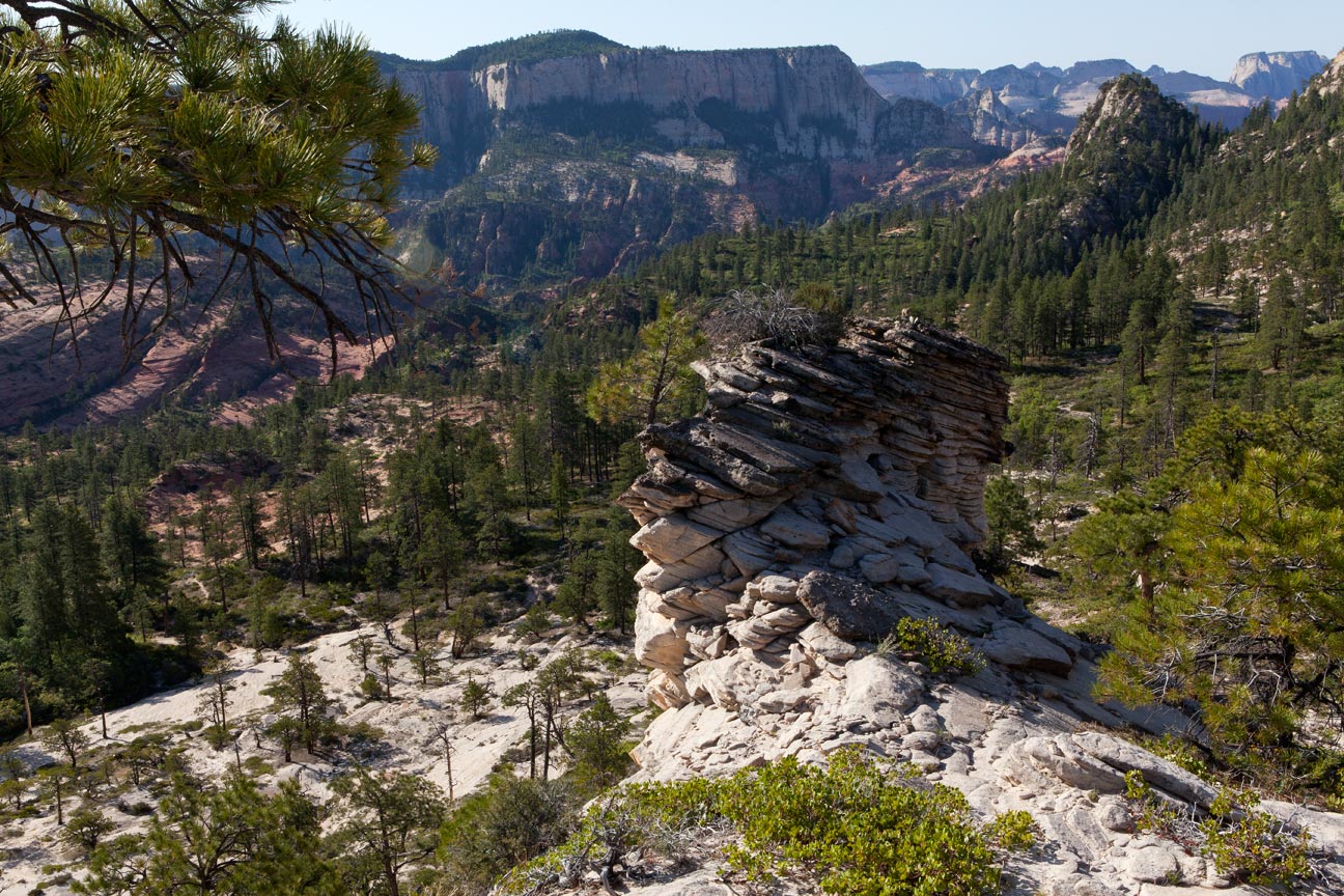
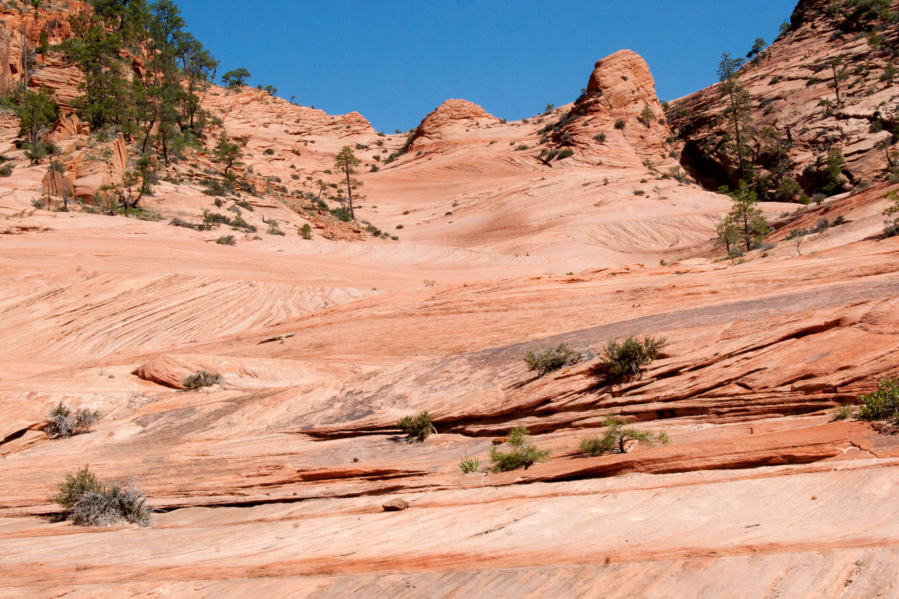
Continuing south southeast and descending the very white Navajo
sandstone.
7
|
 |
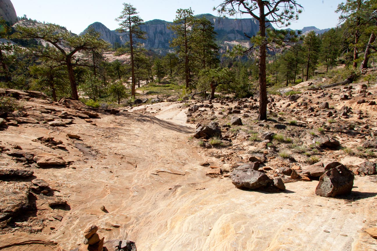
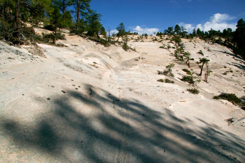
Continuing south southeast on a fairly well cairned trail.
8
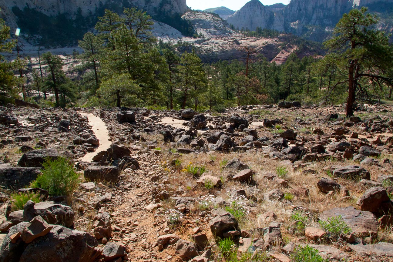
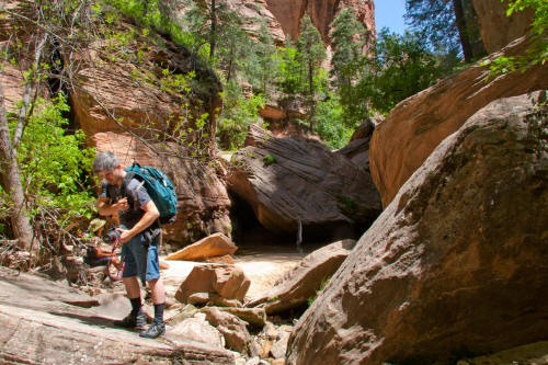
|
 |
More white sandstone and constantly dropping.
9
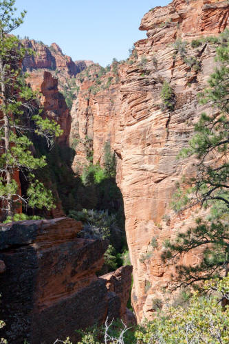
|
 |
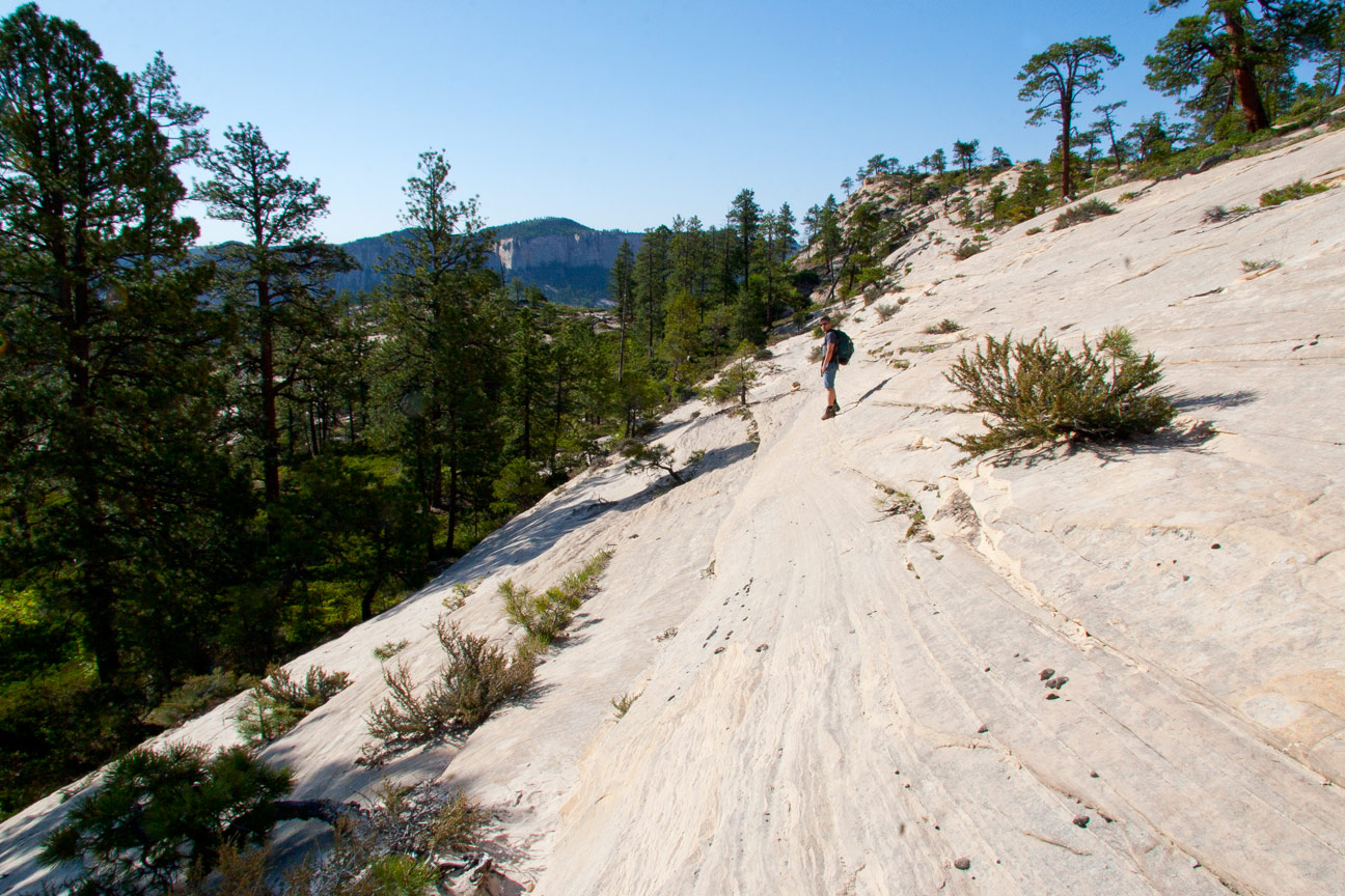
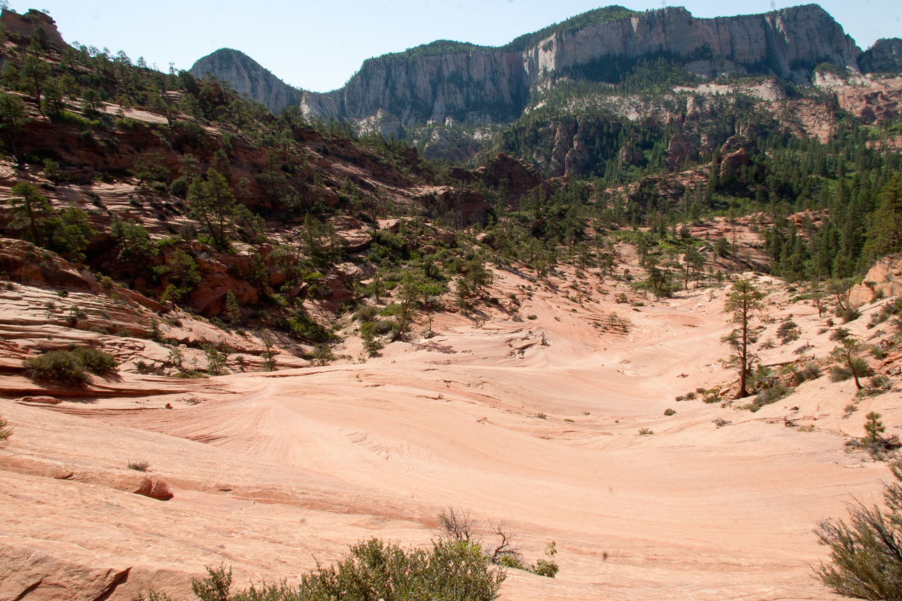
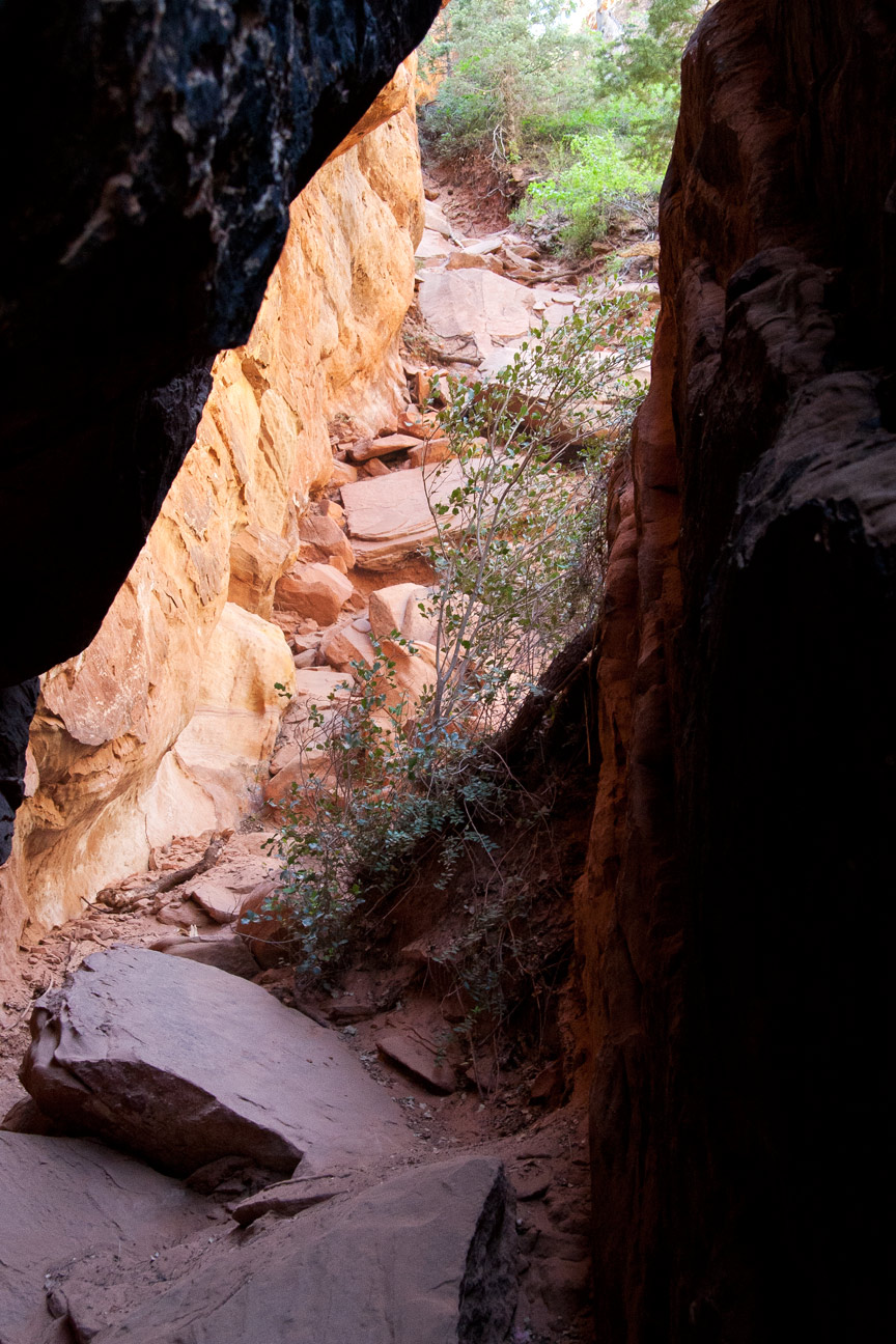
Looking back northwest toward the beginning of the route.
Already dropped several hundred feet.
10
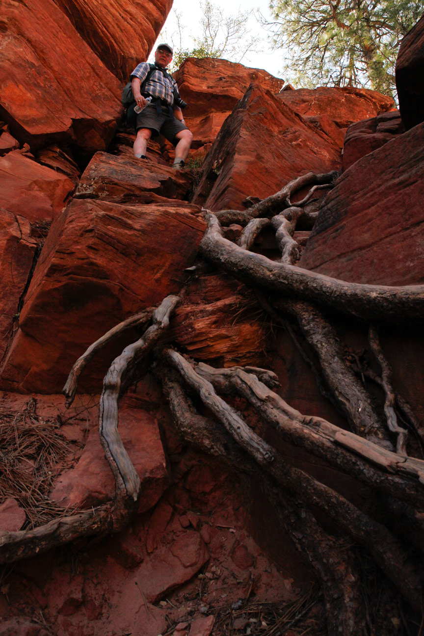
|
 |
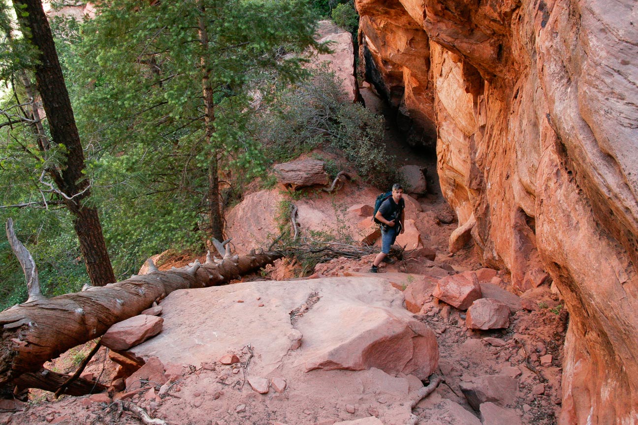
We thought the trail skirted and dropped along this rock face but
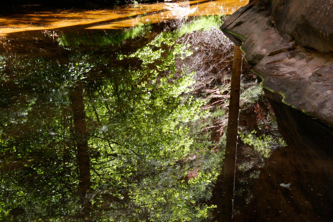
got off trail in the trees beyond. The trail actually drops very
steeply down to the base of this steep rock face.
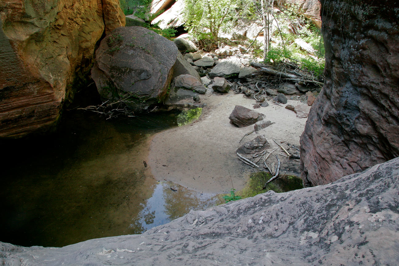
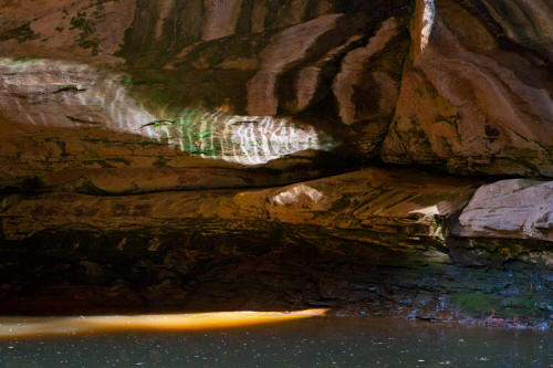
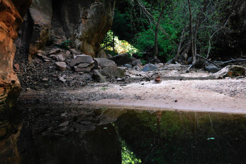
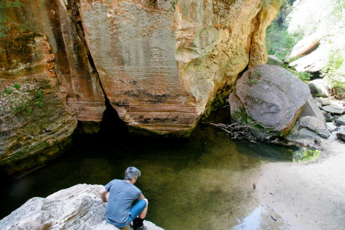
11
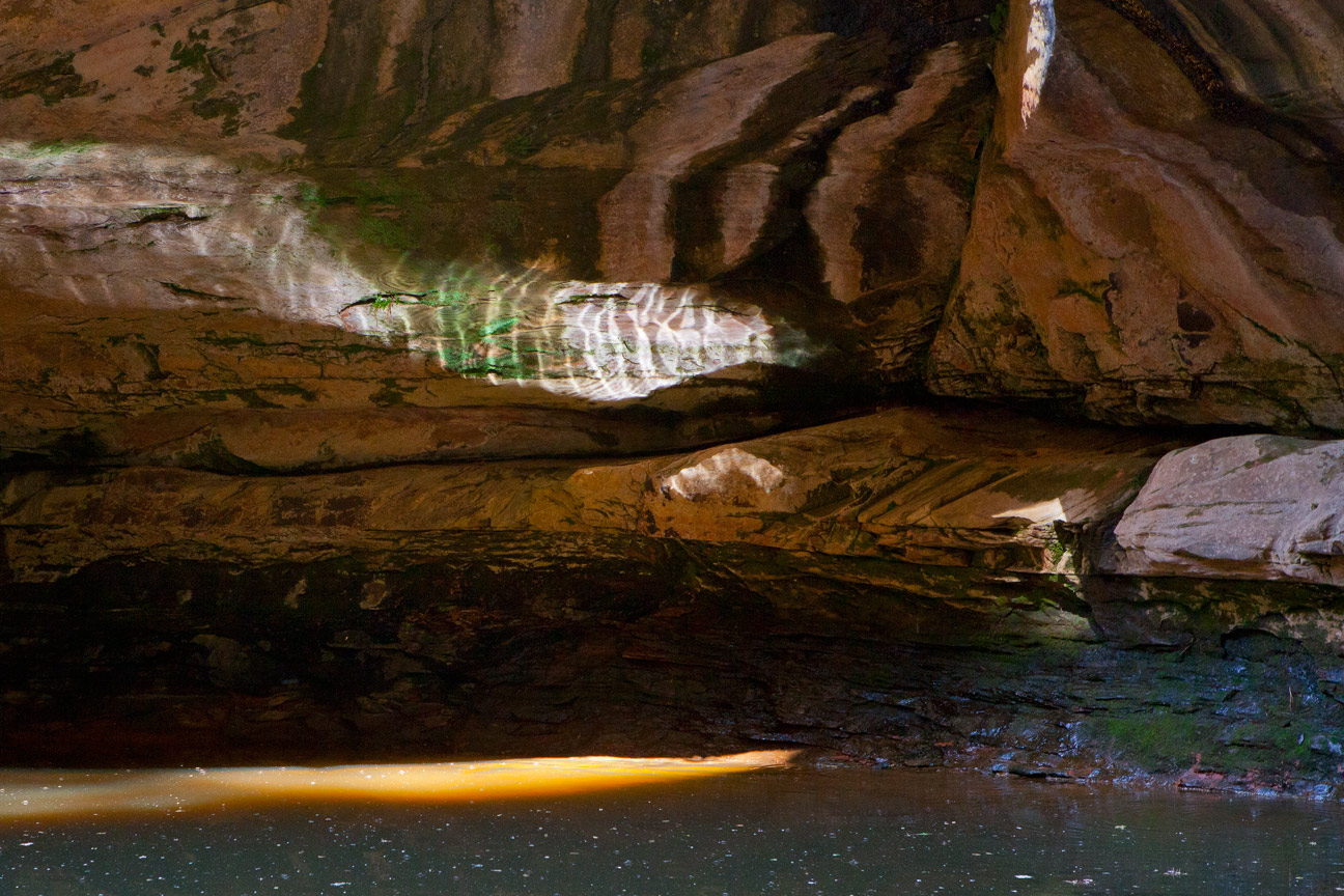
|
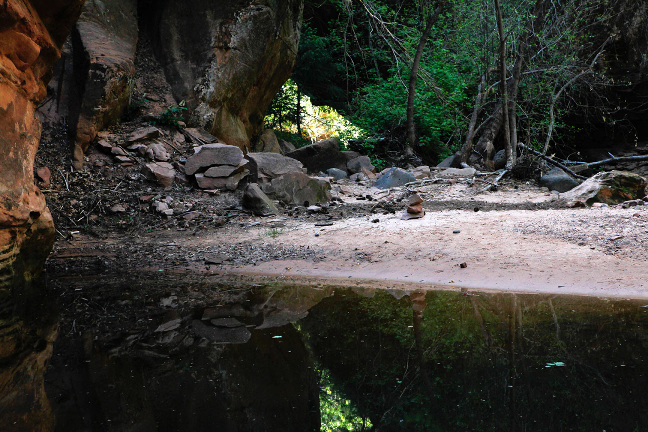
 |
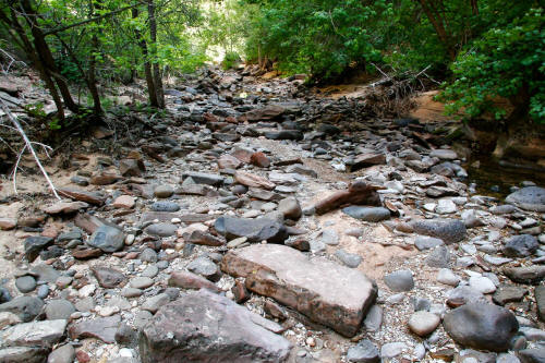
We were off trail at this point but quickly regained after
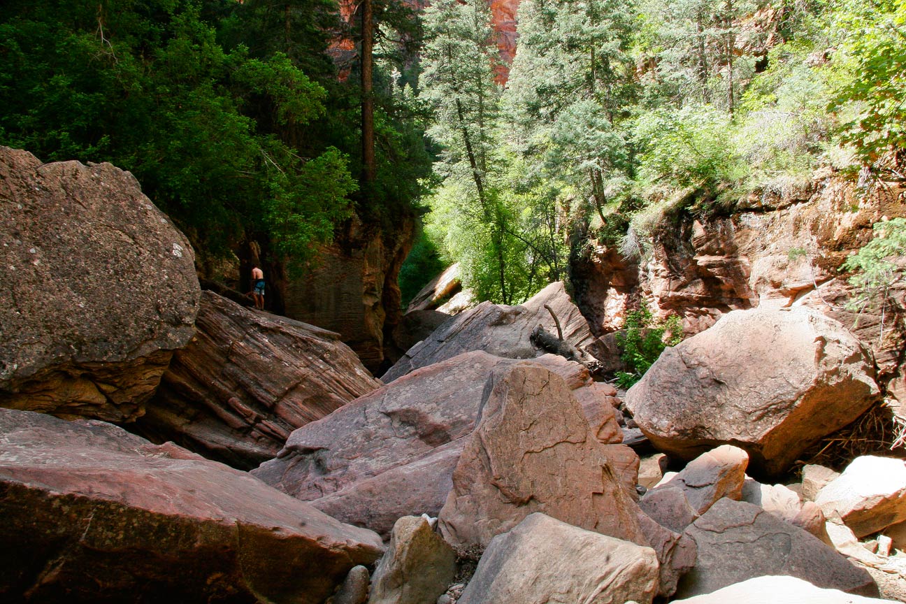
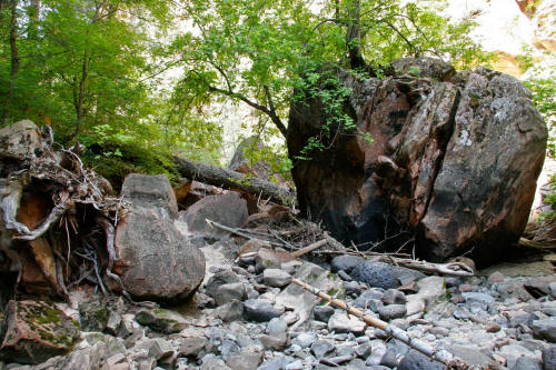
bushwhacking a bit. There are a good number of cairns and the route
is fairly easy to follow but there are spots that are not obvious.
12
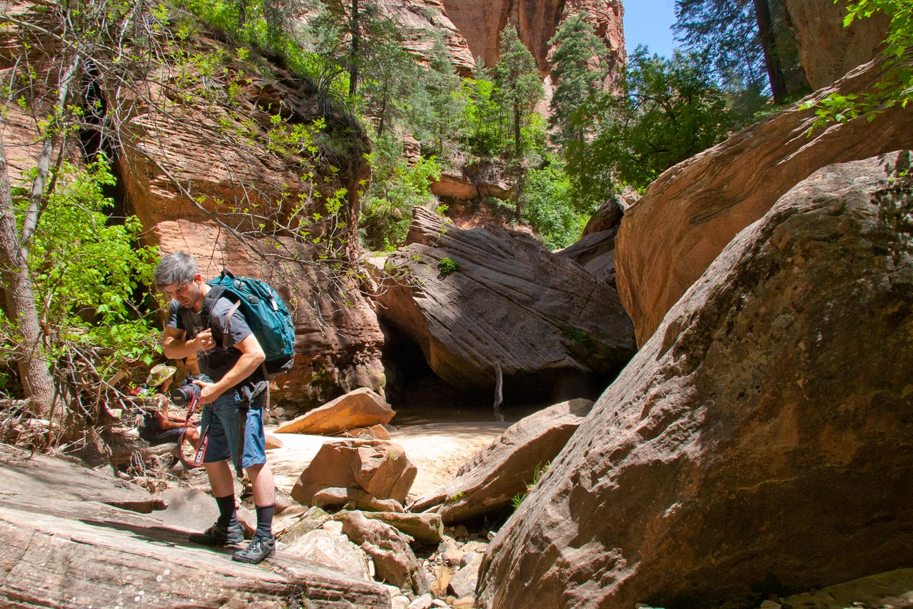
|
 |
Pano view of our bushwack. We dropped down and to the left
when the trail we were on simply disintegrated into the brush.
Apparently we were not the only persons who assumed the trial would take
a sane route.
13
|
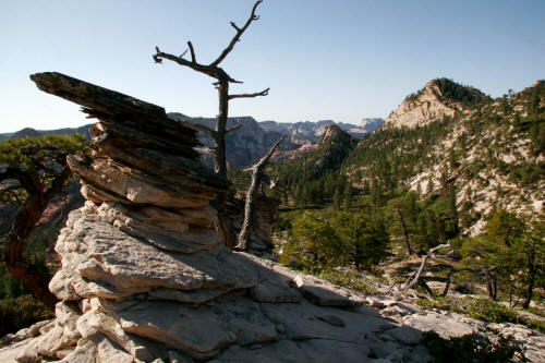 |
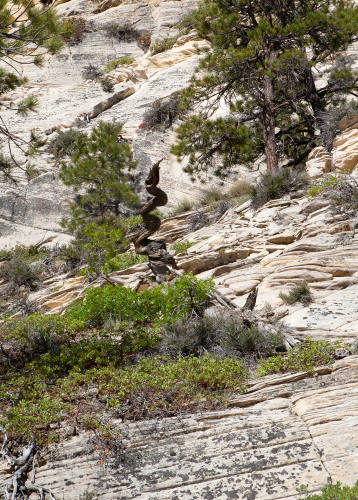
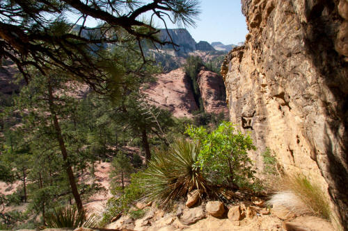
Very good view here and this cool rock.
14
|
 |
Another view from our bushwack.
15
|
 |
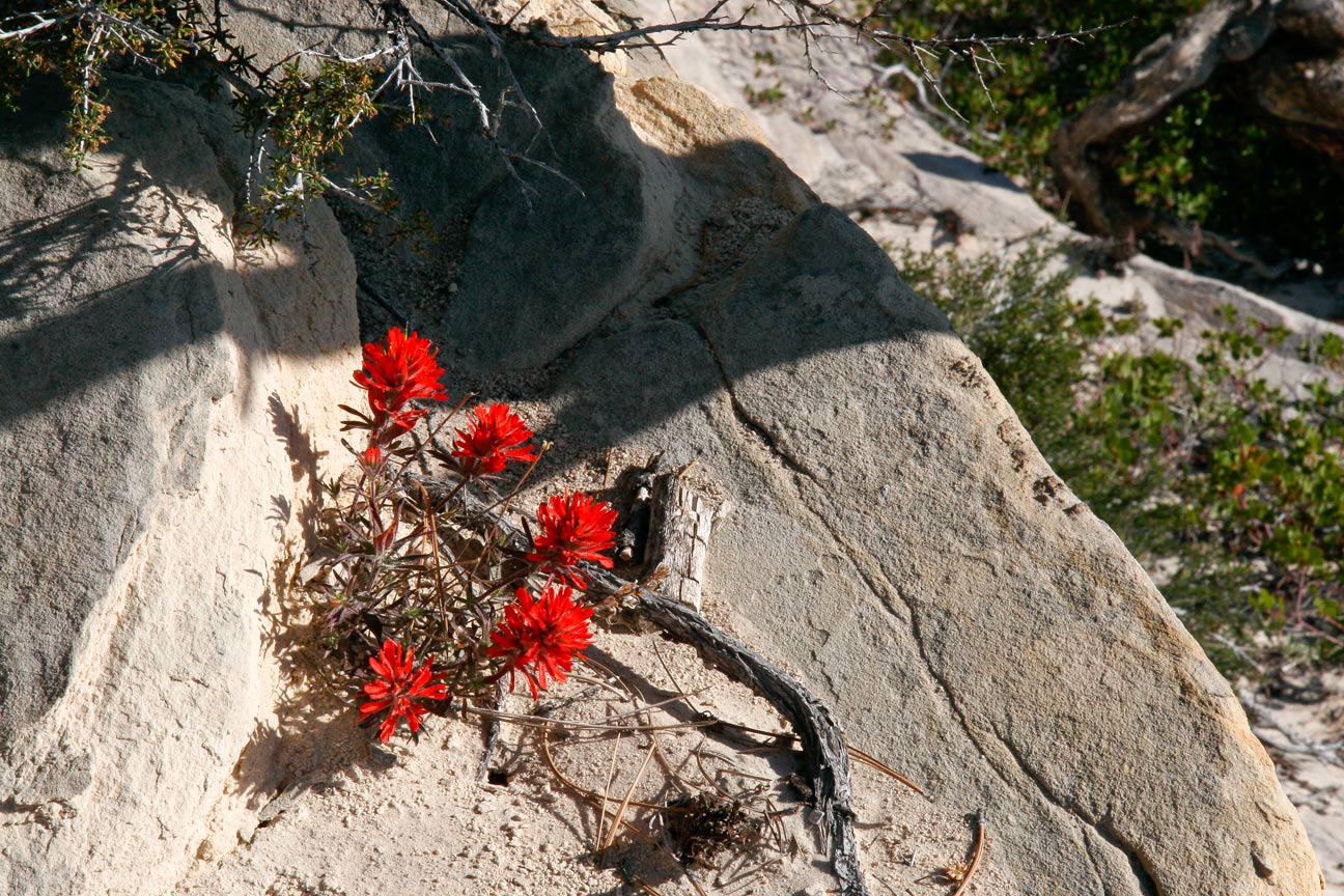
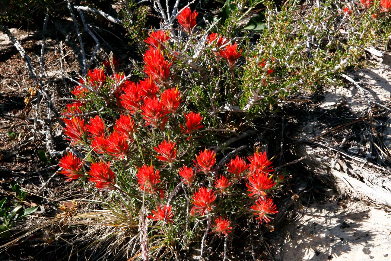
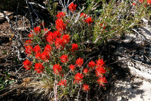
Indian paintbrush. This trip was taken in May and there
were quite a few wildflowers.
16
|
 |
A nice group of wildflowers with some kind of yucca plant.
17
|
 |
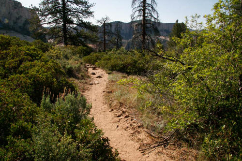
Back on the trail and it starts to head southeast, constantly descending and still
on the white Navajo sandstone.
18
|
 |
More very good Indian Paintbrush along the trail.
19
|
 |
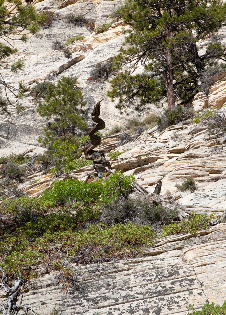
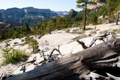
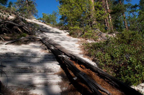
An absolutely wild twisted tree trunk just off the trail.
20
|
 |
The trail periodically is really steep as this image shows.
21
|
 |
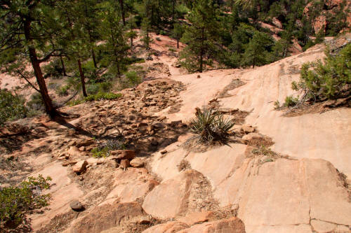
This is a sandy section of the trail that occurs when the white
sandstone transitions to a more red-brown colored sandstone as you near
Russell Gulch .
22
|
 |
More Indian Paintbrush.
23
|
 |
More wildflowers.
24
|
 |
At this point in the route the white Navajo sandstone is transitioning to
a reddish brown color filled with iron oxide. Still constantly
dropping like a rock.
25
|
 |
Continuing down generally south southeast
to Russell Gulch. A very dramatic trail.
26
|
 |
Continuing on the trail south southeast.
27
|
 |
Continuing down steeply. The rock has transitioned from the
very white sandstone near the top to this more red-brown near midpoint.
Russell Gulch is just below this location.
28
|
 |
A very steep part of the trail as you decend to Russell Gulch
29
|
 |
A clearly steep trail in this section as you enter Russell Gulch.
30
|
 |
The
trail climbs out of Russell Gulch. You do not want to enter Russell
Gulch unless that is your intent. There are several required
rappels in this drainage to reach North Creek.
31
|
 |
This portion of the trail climbs
approximately two hundred feet out of Russell Gulch to a saddle and
then drops into a large sandstone bowl. Still traveling south
southeast.
32
|
 |
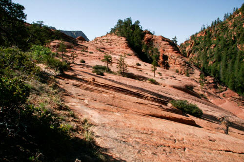
View to the saddle that tops out at the sandstone knob
in the center-top of this image. The saddle is a little over
two-thirds of the way to the down climb point into the Left Fork of North Creek.
33
|
 |
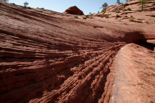
Very strong layering in the sandstone. Image from just below the
saddle.
34
|
 |
View at the
base of the sandstone knobs at the saddle and the bowl below.
35
|
 |
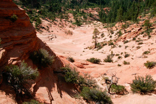
View of the large sandstone bowl southeast of the saddle. Still
almost another mile from this location to the down climb point into the
Left Fork of North Creek.
36
|
 |
View back to the sandstone knobs at the saddle.
37
|
 |
Another view back to the sandstone knobs at the saddle and the bowl
below.
38
|
 |
View back north northwest to the saddle after crossing the sandstone
bowl.
39
|
 |
Continuing on the trail across another series of sandstone slabs
generally south southeast.
40
|
 |
More color from a wide variety of wildflowers. Do not know
this plant
41
|
 |
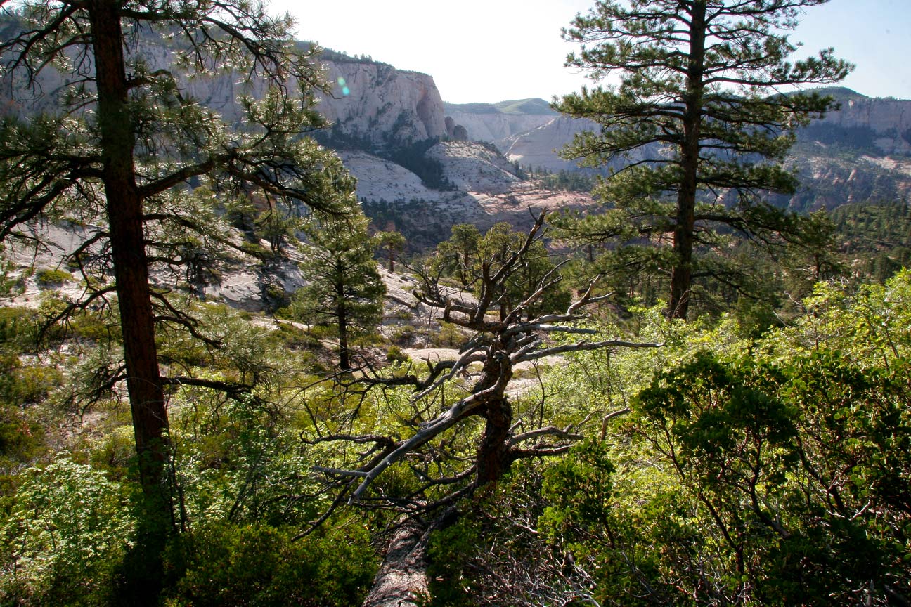
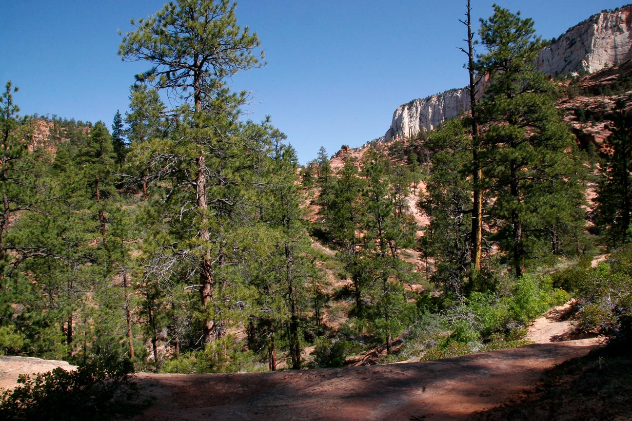
The trail climbs and descends several times through a variety of
ponderosa pine and stunted oak trees as it traverses the high bench above
the Left Fork of North Creek.
42
|
 |
Very good wildflowers.
43
|
 |
The trail as it climbs the bench above North Creek.
44
|
 |
Almost there.
45
|
 |
This view is of the narrow gorge of the Left Fork of North Creek. The drop-in
point is very near.
46
|
 |
Close-up view of previous image.
47
|
 |
This is the trail as it litteraly goes to the edge of a shear
drop-off. A women hiker from Ohio was killed here summer of 2013
when she fell over this cliff.
48
|
 |
This is the view into the North Fork of North Creek Canyon just
before you enter the drop-in point at an intermittent stream pour off.
49
|
 |
The trail down climbs to the Left Fork of North Creek via a normally dry pour-off from the
forested bench above. The route is very steep but there are a
lot of hand holds all the way down and it's really not difficult if you
are careful.
50
|
 |
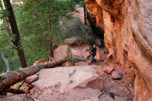
The scale figure provides a good sense of the steepness. As
you can see there are a lot of roots that can be used to down climb.
51
|
 |
This is probably the most ragged part of the down climb.
52
|
 |
From this point the remaining down climb to the Left Fork of North Creek is easy.
53
|
 |
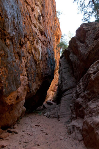
View back up the trail where it passes through a large crack created
by heavy drainage from above.
54
|
 |
Another view back up the trail from the edge of the water filled
grotto below.
55
|
 |
The trail drops out of the down climb to a
rock walled grotto with a large pool of water formed by
the pour-off from a side channel. We took a break, downed a
Builder Bar, took boots off and put water shoes on. The pool of
water on this day was waist deep. This is a great approach hike.
56
|
 |
Another view of the grotto at the base of the down climb.
57
|
 |
This is the view half-way across the pool of water from the down
climb
point into the upper part of the Left Fork of North Creek. The water on this
day was over crotch deep and a good introduction to the joy of getting
wet constantly as you traverse this drainage.
58
|
 |
This is the kind of dry streambed we encountered between the drop-in
point and the first obstacle.
59
|
 |
As you approach the first obstacle the boulders in the streambed get
larger and more difficult to get around or over.
60
|
 |
This is the approach view to the first obstacle - a maybe 20 foot
drop to a pool of water. The streambed is completely choked with
car and larger sized boulders. It takes some effort to climb over
these boulders - there is no easy route. Scale figure was preparing
to rappel into the pool below.
61
|
 |
View looking down to the bottom of the first drop. There are
four routes down. To the right against the side of the canyon wall
- very awkward and you need a rope. All the way to the left through
a hole and similar gap that descends to the pool bottom. Rappel from
the anchor location in the previous image or just edge out as far as
possible on this rock and jump into the pool. We jumped off
this rock - probably seven foot drop into waist deep water.
(Not a
recommendation but that is what we did.) The hole to the left is the best
route.
62
|
 |
View from the top of the rock. Eric edging out and down.
If you go through the hole to the left you can simply crawl down to the
edge of the pool and as long as you hug the canyon walls you will only
need to wade waist deep around the circumference of the pool.
63
|
 |
From the bottom looking back at the first obstacle. The drop
never looks as bad when you are looking up from below.
64
|