 |
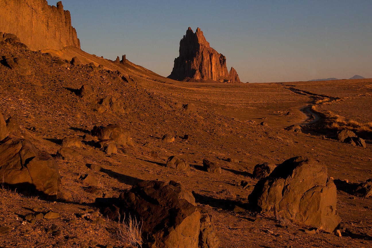
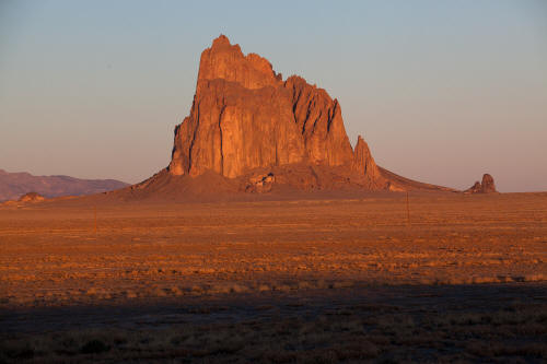
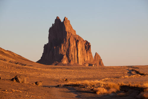
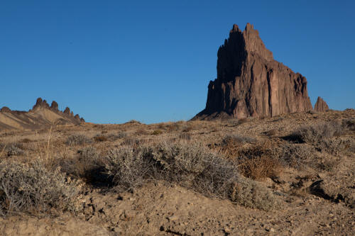
Looking northwest from The Red Rock Highway to Shiprock at first
morning light. Shiprock is an exposed volcanic plug on Navajo
lands. The Navajo name for Shiprock is Tse` Bit` ai`(rock with
wings).
1
|
 |
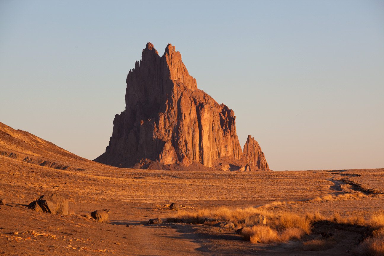
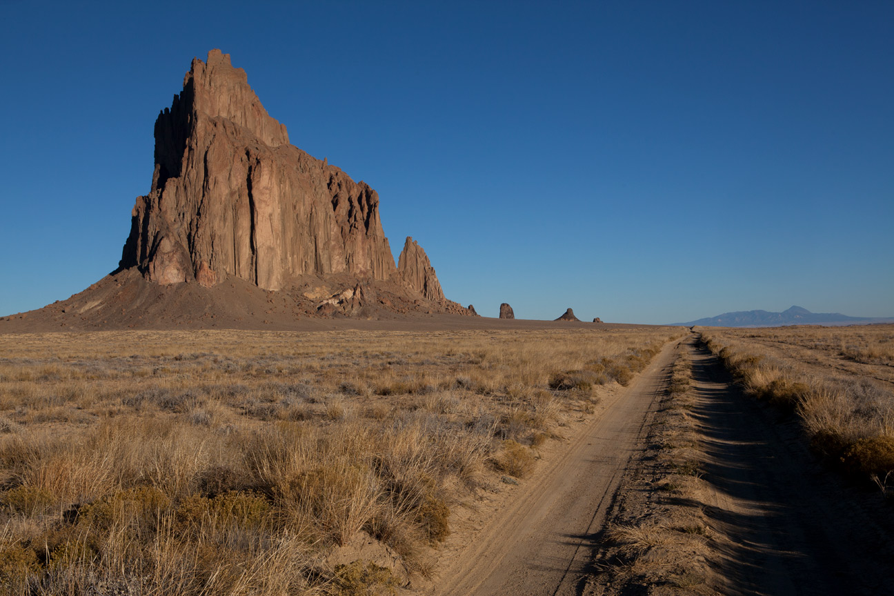
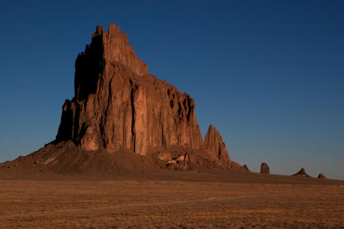
View due north at sunrise to Shiprock from the intersection of
The Red Rock Highway and IR 5010.
2
|
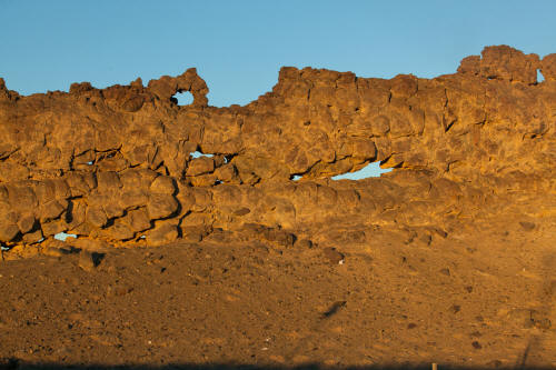 |
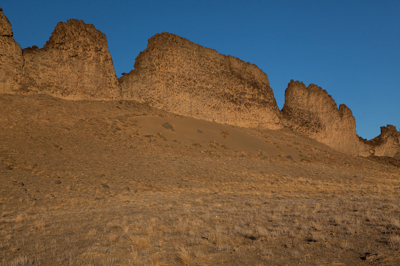
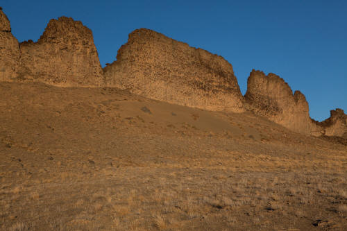
View due west from the intersection of The Red Rock Highway and IR
5010 to the semi-porous basalt lava dyke that radiates and extends from
the base of Shiprock. The scale of the lava dyke in this location
is not evident in this image but as a guess its in the range of 40 plus
feet high. A person could climb through any of the openings.
3
|
 |
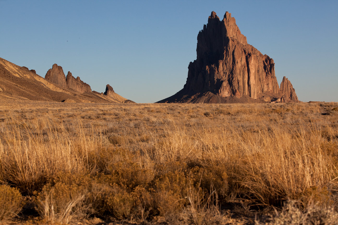
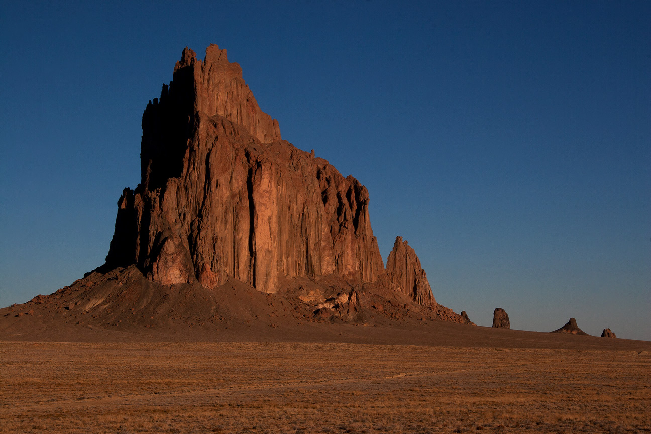
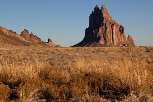
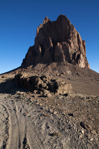
View north to Shiprock from IR 5010. Althouh Shiprock is not
one of the four sacred mountains it is considered a sacred site to the
Navajo. The site is kept clean and untouched. Climbing
Shiprock is not allowed.
4
|
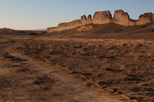 |
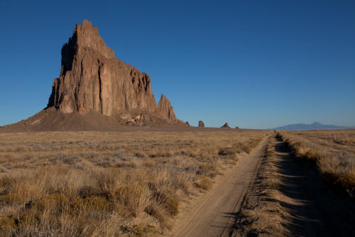
View south to the intersection of the Red Rock Highway and IR 5010.
The lava dykes on the right range to 250 feet high from road level
according to Google Earth.
5
|
 |
View north from IR 5010 as it approaches Shiprock.
6
|
 |
View northwest from IR 5010 to the lava dykes about half-way to
Shiprock from The Red Rock Hwy.
7
|
 |
View north to Shiprock and lava dyke from along IR 5010. The good
early morning light is starting to transition.
8
|
 |
View of Shiprock from IR 5010. IR 5010 is a two-track that
could be traveled by a high clearance car. There are areas that
drop into small drainages and reclimb that could be a problem.
In wet wheather this road is probably impassible.
9
|
 |
View is taken from a side road that intersects IR 5010 looking northwest.
Image is sligthly underexposed to pull what is left of the good early
morning light into the image.
10
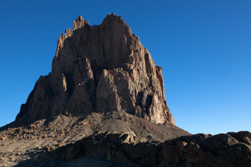
|
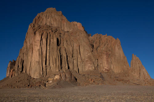 |
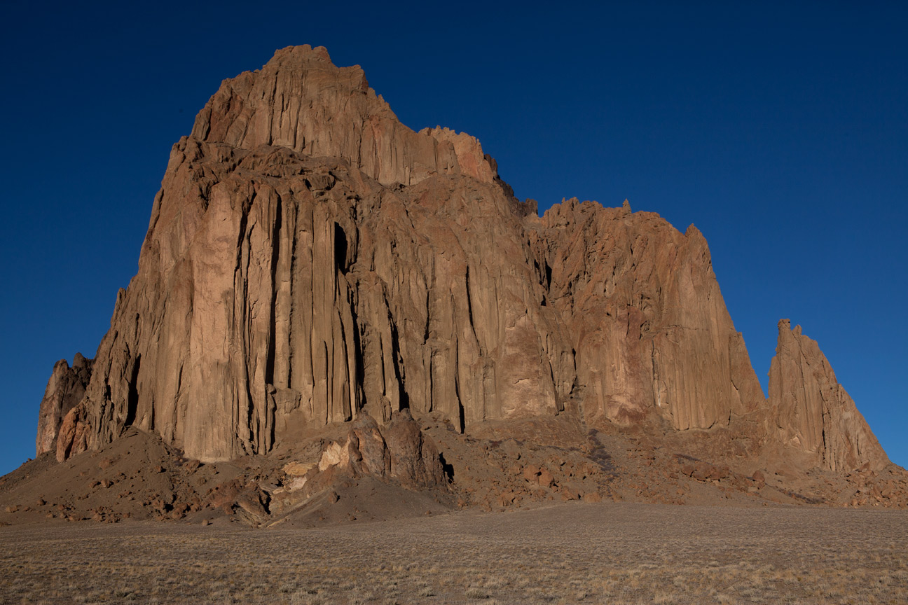
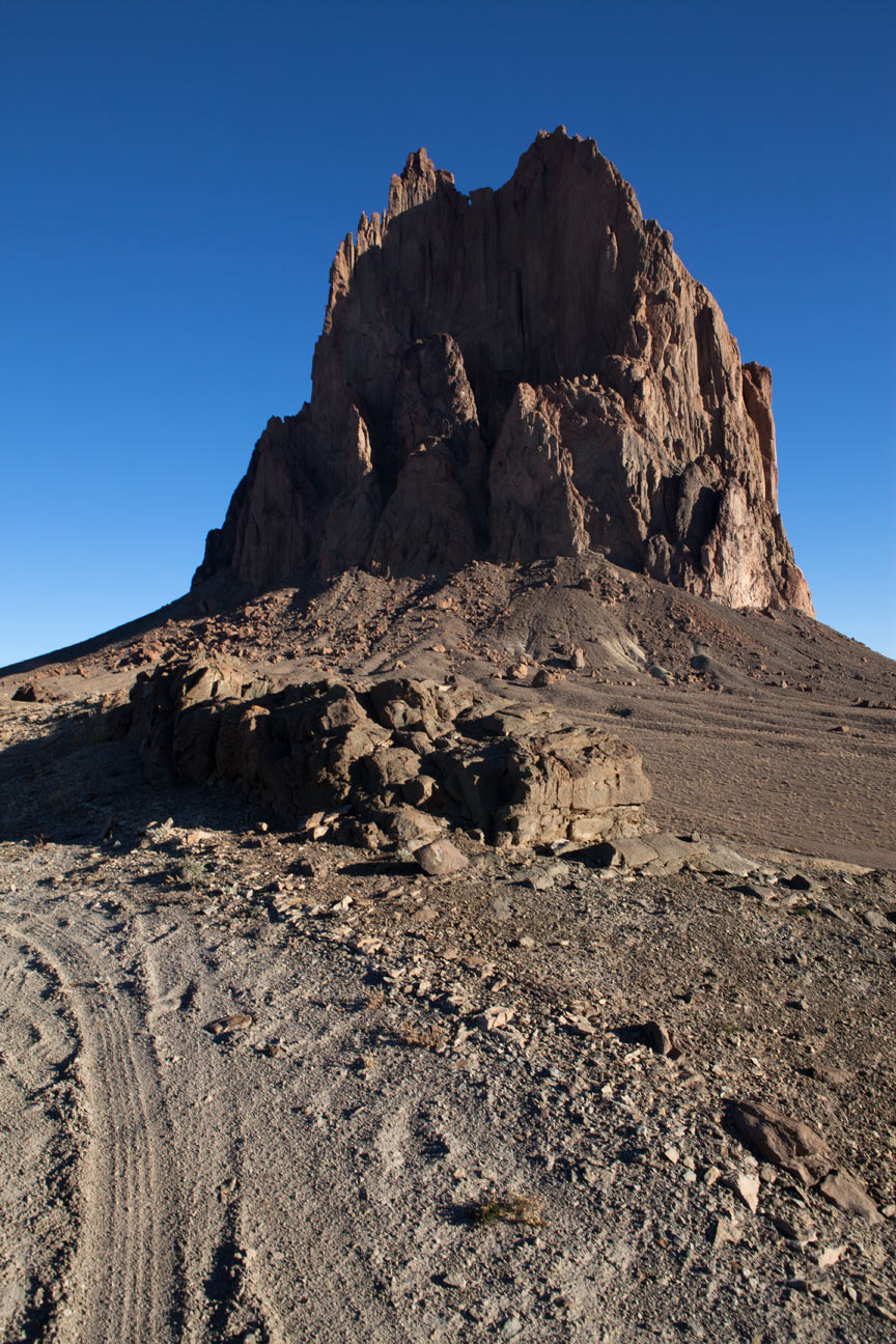
Shiprock is almost 1600 feet high and as you approach it starts to loose
it's form. This is a big rock.
11
|
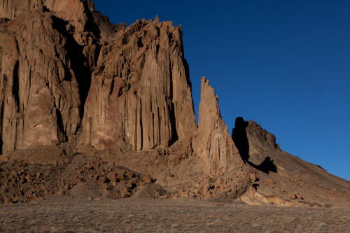 |
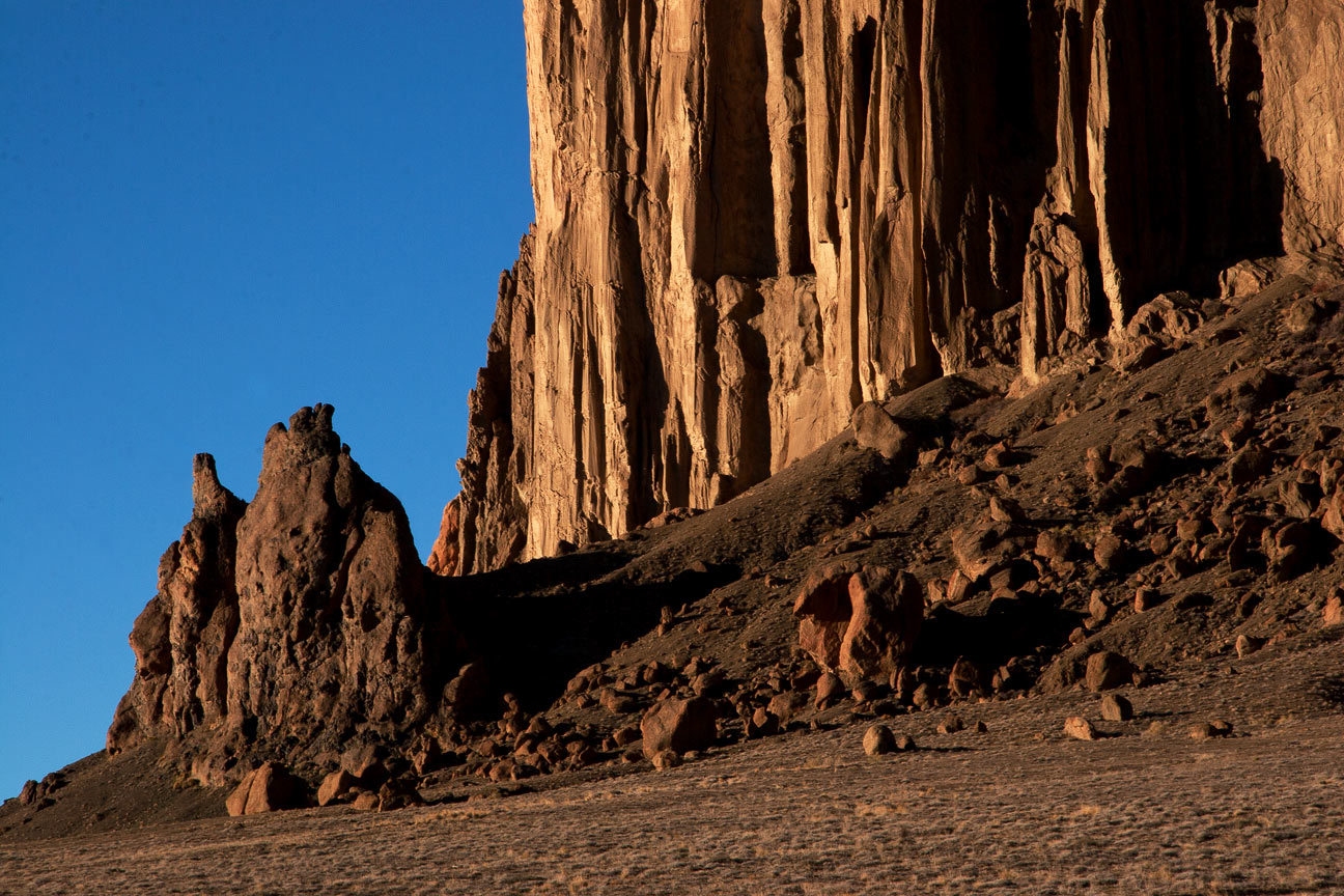
Close-up view of the base of Shiprock from IR 5010.
12
|
 |
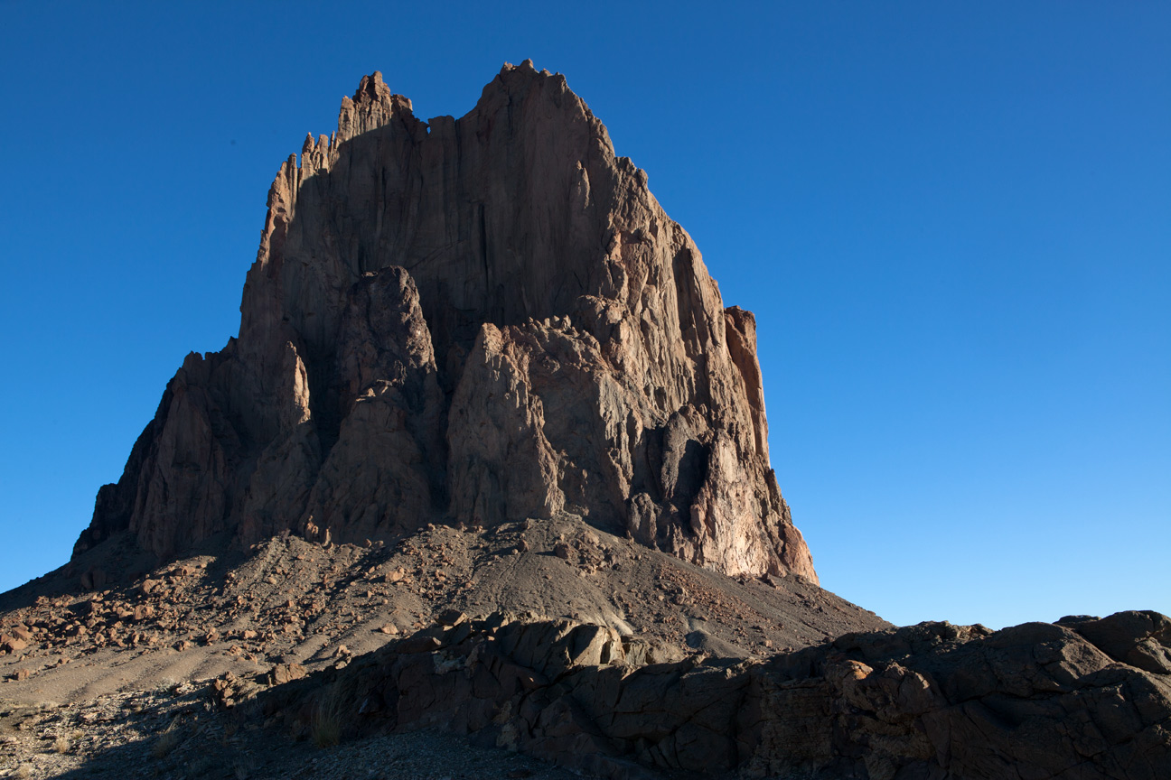
Close-up of base of Shiprock looking west.
13
|
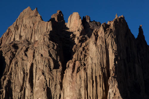 |
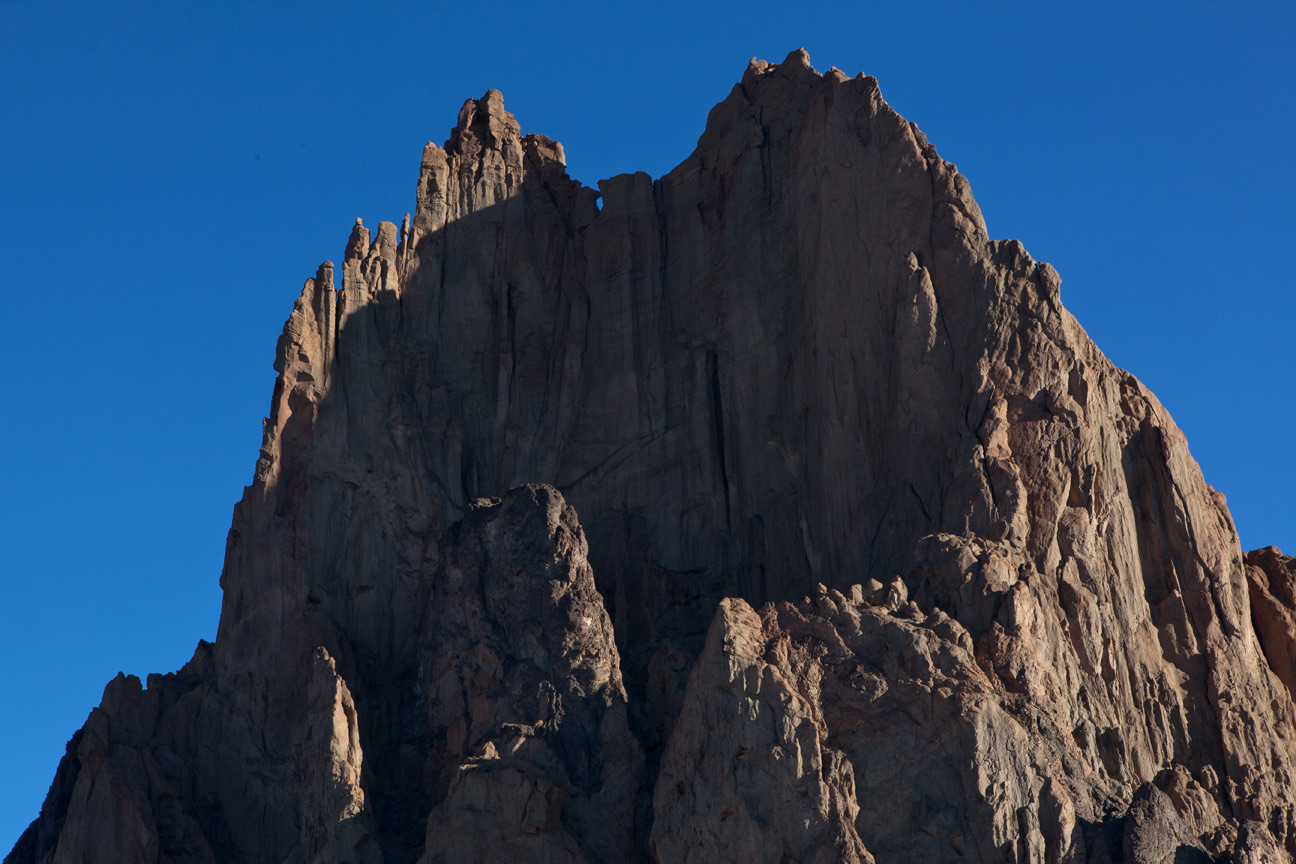
Zoomed view of the top of Shiprock.
14
|
 |
Near the base of Shiprock a road intersects IR 5010. This east-west
route crosses a pass in the lava dyke. The image is taken from the
pass looking north-northeast.
15
|
 |
Close-up view of Shiprock from the west side of the pass that crosses the
lava dyke.
16
|
 |
Zoomed view of the top of Shiprock from the location of the previous
image.
17
|