 |
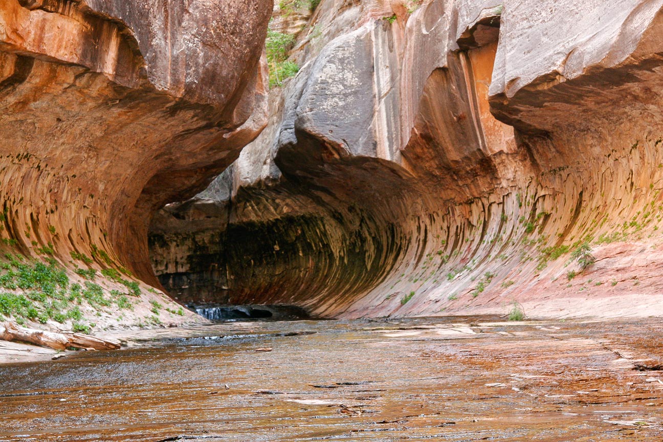
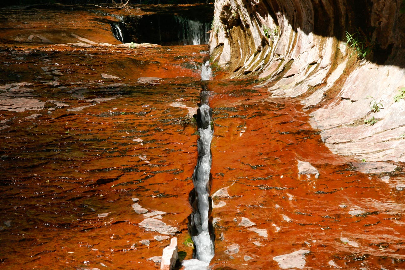
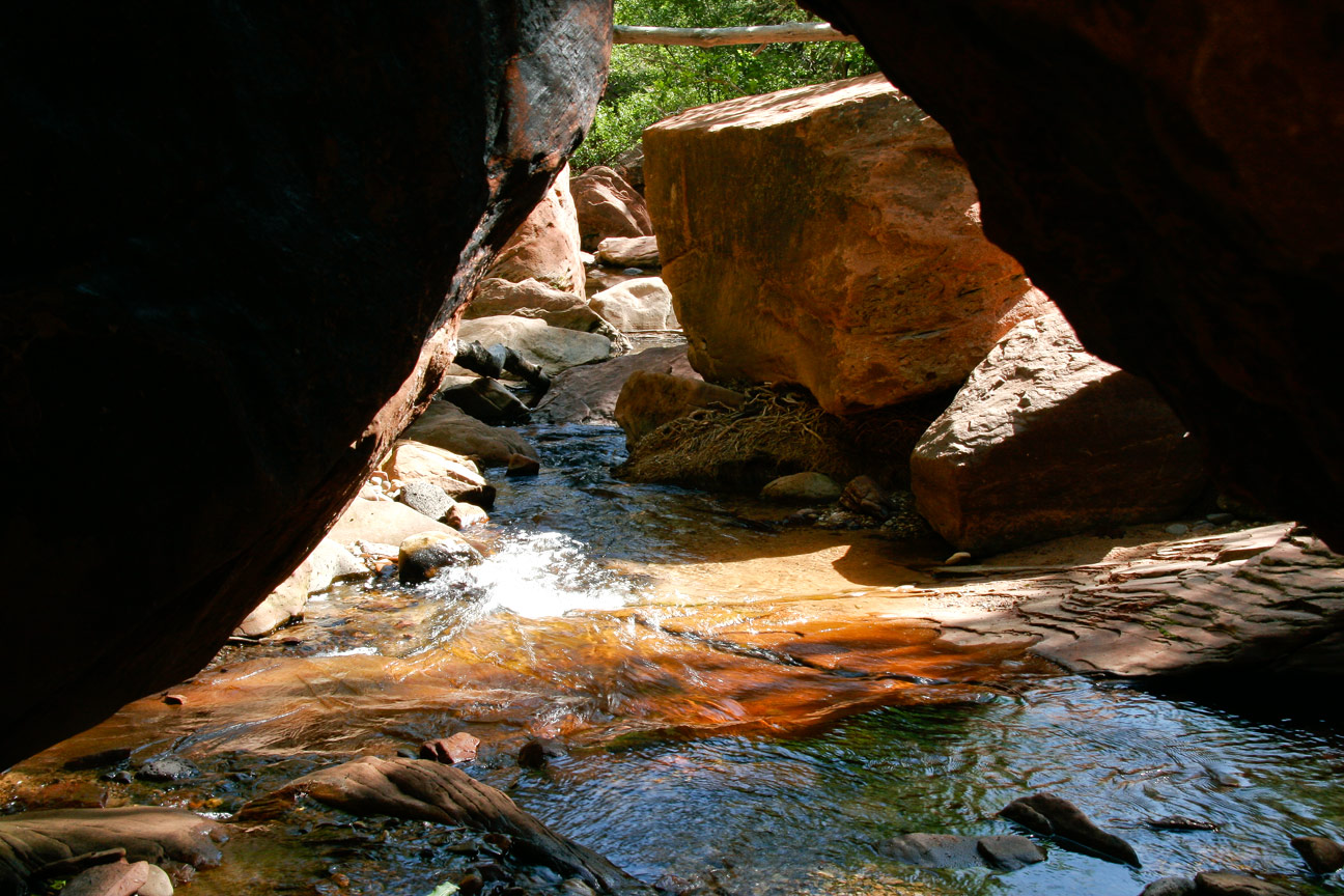
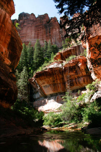
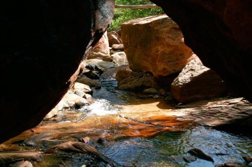
View upstream of the very dramatic undercut and curving
walls of the
Lower Subway. Past this
point there are a series of alternating grottos with water pools ending
in a pour-off with a shallow cave underneath. The Lower Subway ends
at this shallow cave. The cliff band visible in this image at
top-center must be
scaled to proceed to the Upper Subway.
1
|
 |
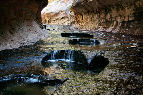
View upstream toward the Lower Subway from just outside of the slot.
2
|
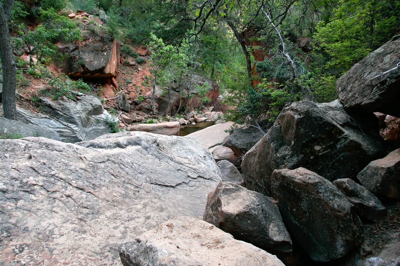
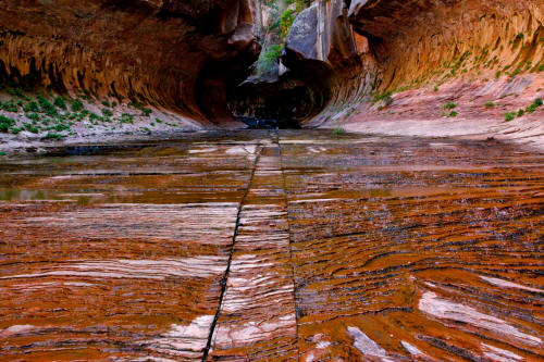 |
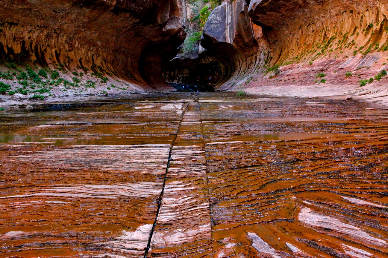
Very linear ground plane cracks in the wide flat solid rock streambed as
you approach the Lower Subway.
3
|
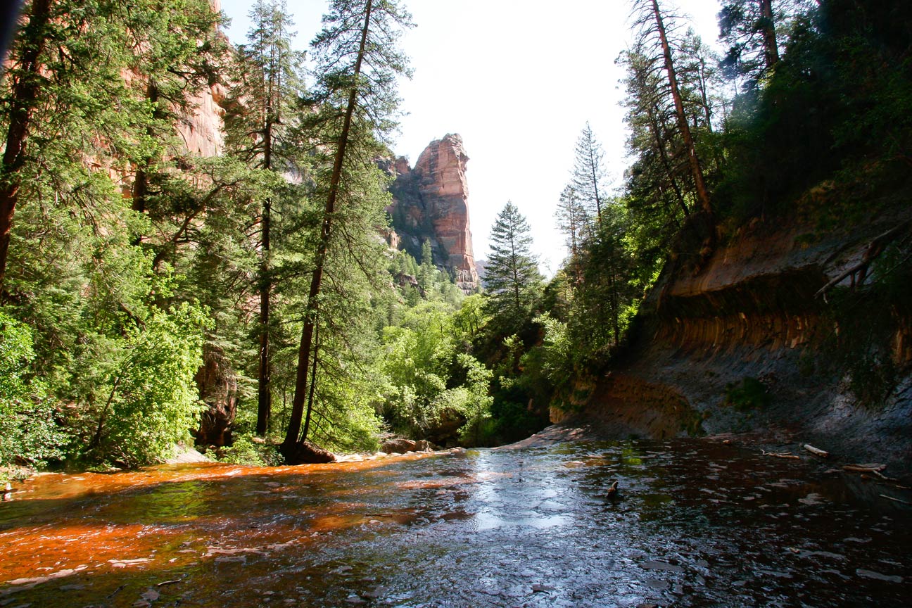
 |
View downstream from the Lower Subway. The canyon walls are several
hundred feet high.
4
|
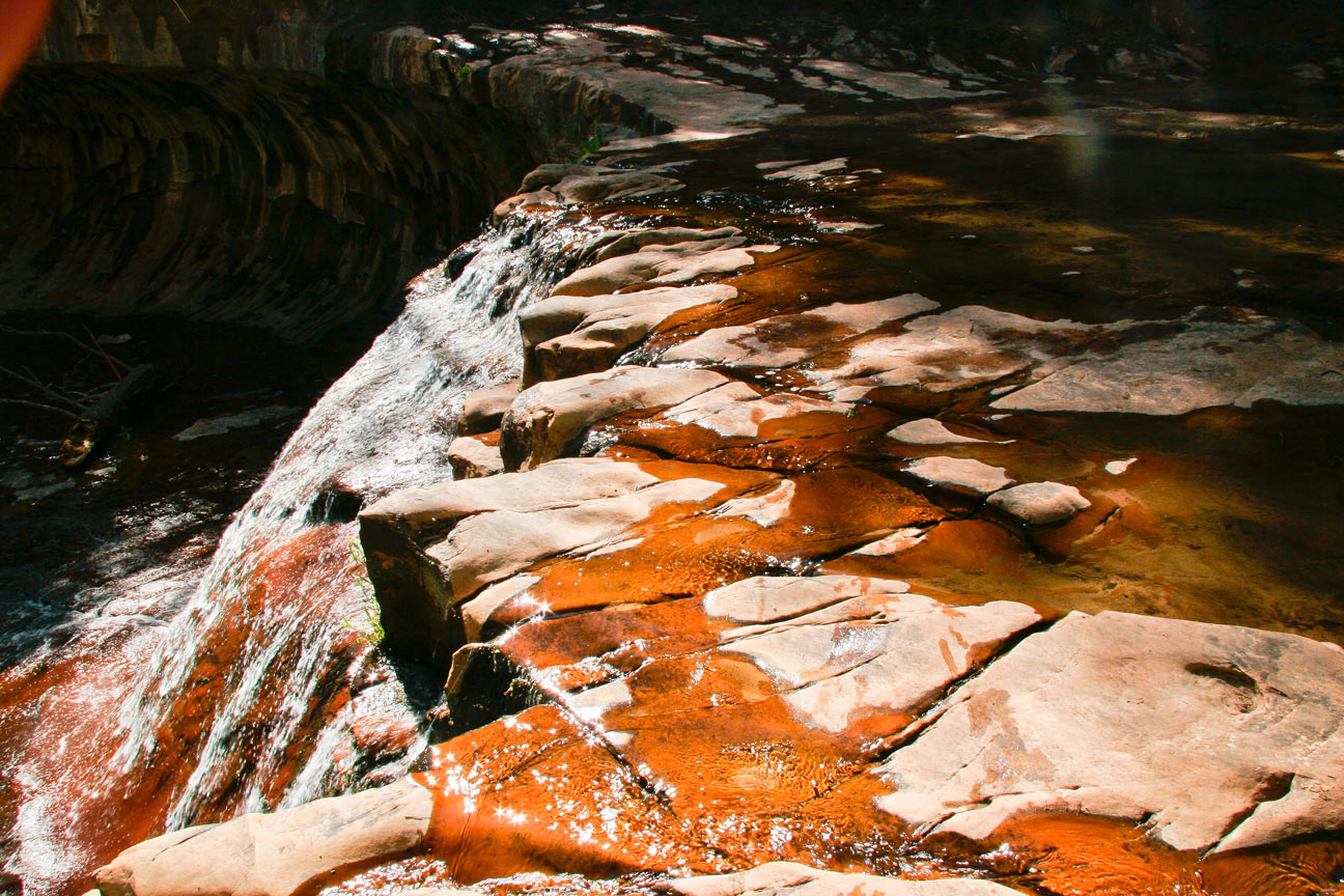
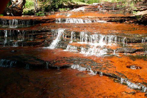
 |
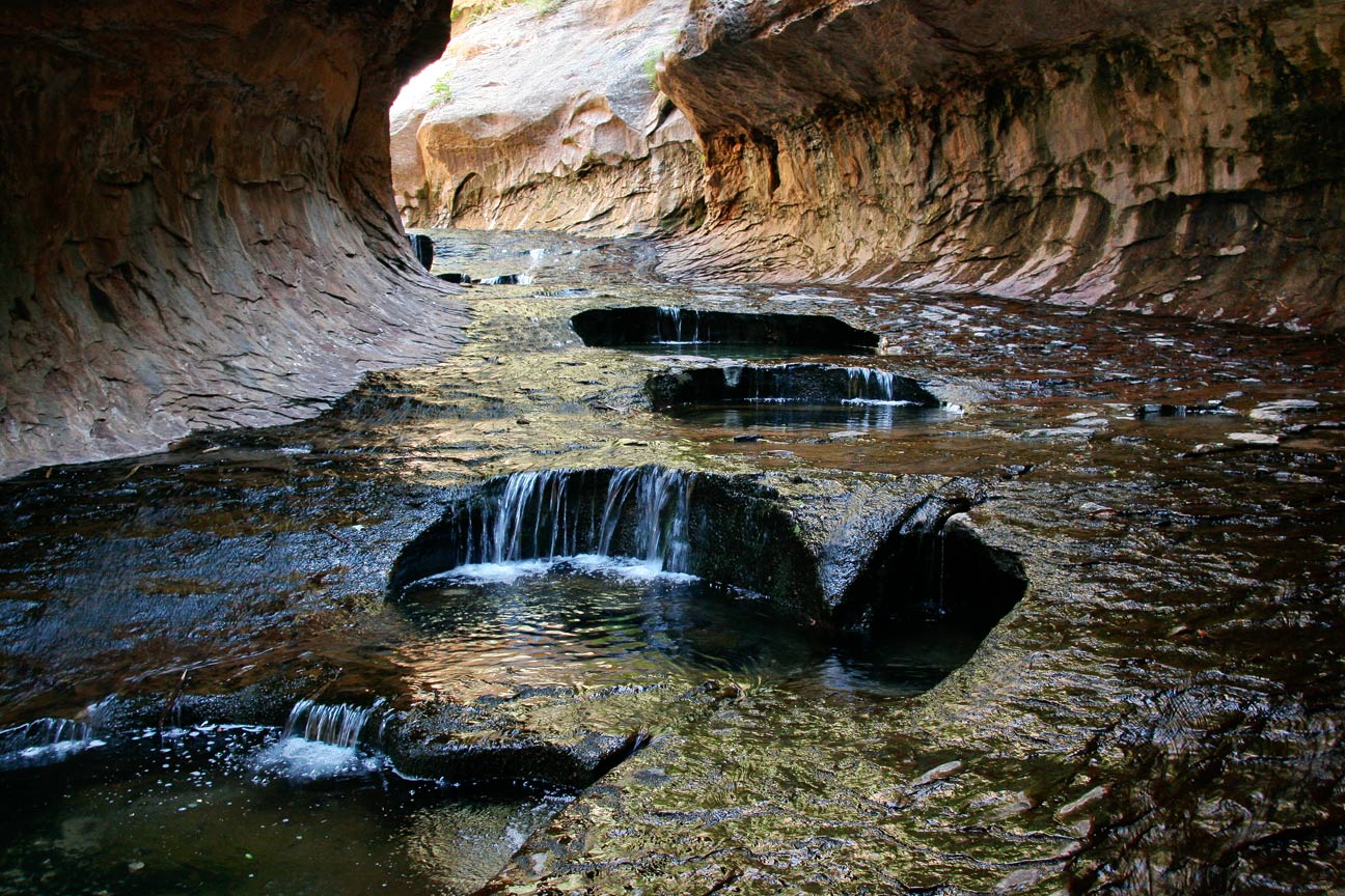
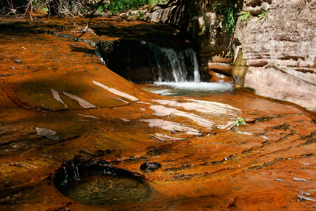
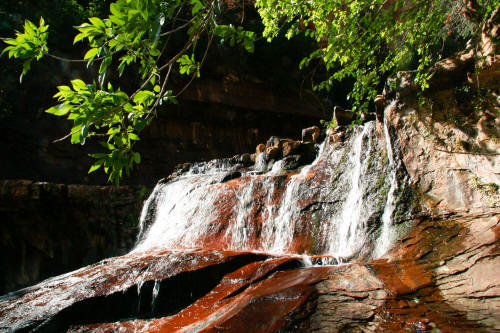
A small cascade downstream from the Lower Subway. There are a
series of cascades downstream from the Lower Subway running for about 1/4
mile. The rock in the streambed is always wet and with enough
iron-oxide content is also a very rich red color.
5
|
 |
A linear deep and narrow crack provides a path for water to escape
one of the many pools upstream.
6
|
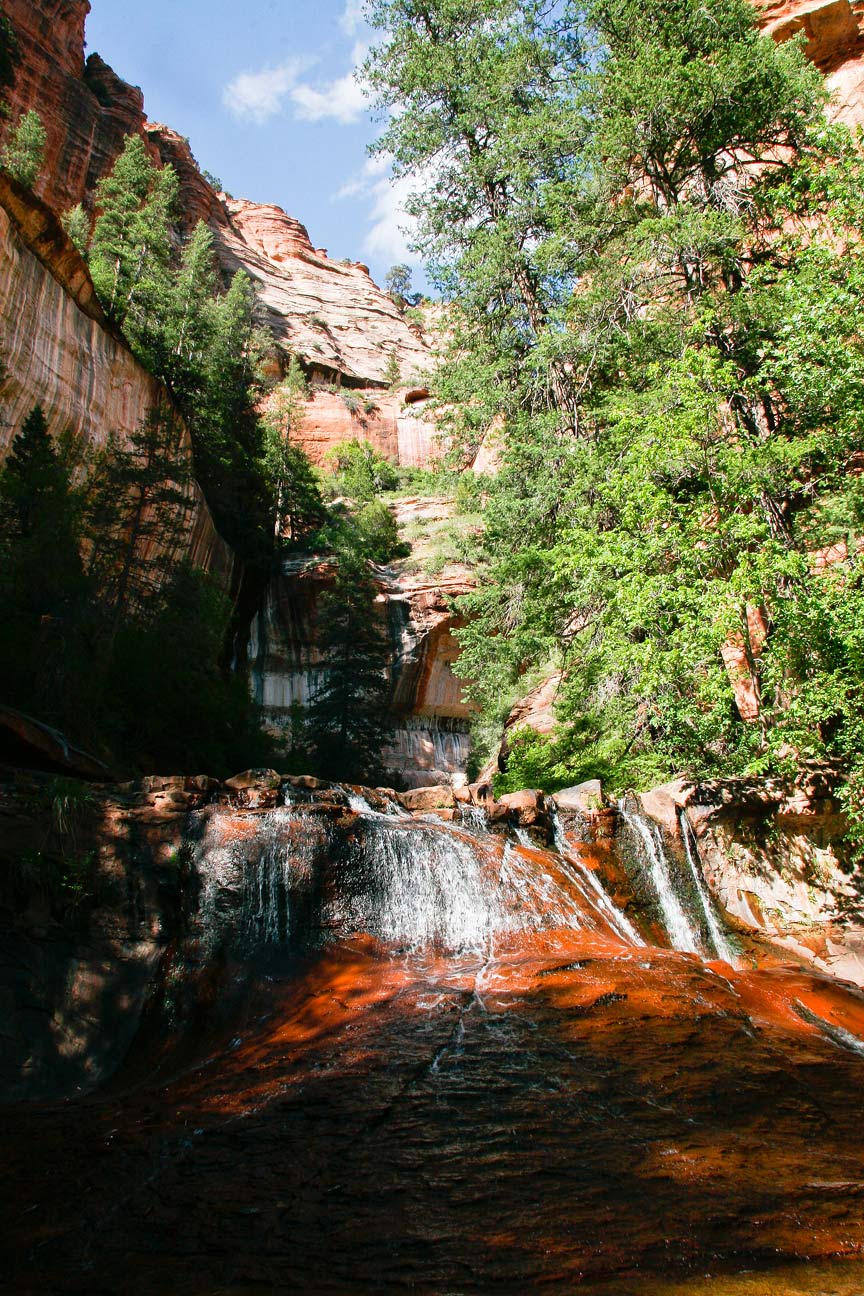
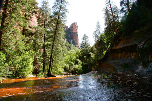 |
View downstream of the wide red solid rock streambed of the Left Fork of
North Creek.
7
|
 |
View across the streambed
at the largest cascade.
8
|
 |
View of cascade from below.
9
|
 |
View of cascade from the middle of the streambed.
10
|
 |
Overview of streambed, cascade and surrounding canyon walls.
11
|
 |
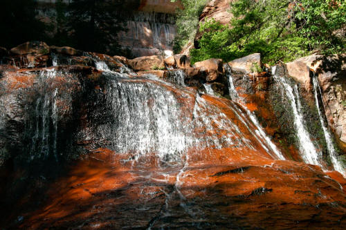
Another very nice series of small cascades farther downstream
12
|
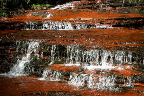 |
Cascades in red sandstone.
13
|
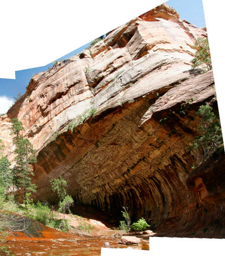 |
Composite image of the massive undercut along the Left Fork of
North Creek at near the end of the cascades.
14
|
 |
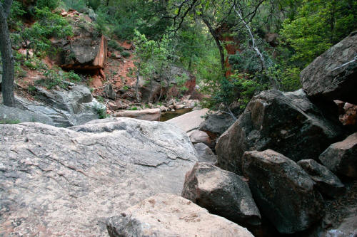
This is the end of the wide open rock
streambed that is typical for
about 1/4 mile downstream from the Lower Subway. From this
point you will be treated to what may be one of the most rock
choked, streambeds in the United States.
15
|
 |
This view or something like this view will greet you for the next 2 3/4
miles until the 750 foot straight up hike out climb at the Left Fork
Trailhead. There is no designated trail. Pieces of trail
exist along the route on both sides of this massively boulder choked
Creek. As you get closer to the hike out climb you cross the creek
several dozen times. A serious obstacle course.
16
|