 |
January 2002
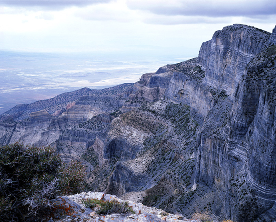
Limestone cliffs of the House Range from near the summit of Notch Peak.
Looking northwest from the “Notch” in Notch Peak with Utah’s Tule Valley in the distance. (Bureau of Land Management - BLM Lands)
Latitude N39d 8.552'
Longitude W113d 24.350'
Elevation 9,194 ft.
Access to East Sawtooth Canyon trailhead - gravel/rocks - High Clearance 2WD
|
 |
February 2002
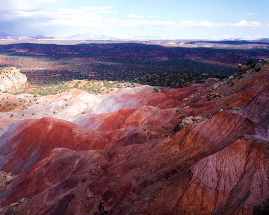
Iron oxide in the Chinle Formation north of Long Canyon.
Looking east from The Burr Trail in Grand Staircase-Escalante National Monument, UT. (BLM Lands)
Latitude N37d 55.201'
Longitude W111d 14.305'
Elevation 6,221 ft.
Paved - Standard Auto.
|
 |
March 2002
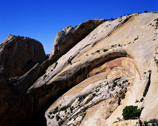
Arch formation in the Waterpocket Fold.
Looking south from The Strike Valley Overlook in Capitol Reef National Park, UT.
Latitude N37d 52.900'
Longitude W111d 2.549'
Elevation 5,969 ft.
Gravel/rock slabs - High Clearance 2WD/4WD - impassable when wet.
|
 |
April 2002
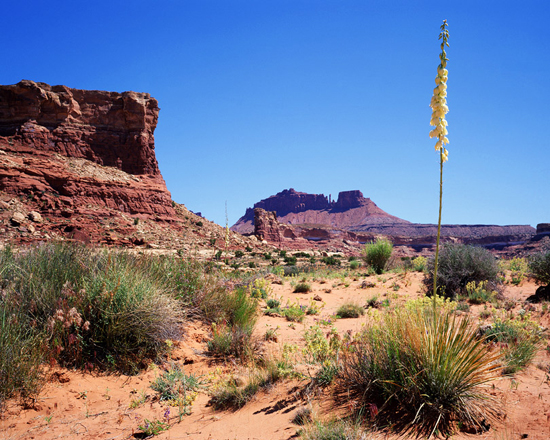
Blue Yucca and Sandstone Mesa.
Looking north-northeast to Gunsight Butte from Red Point on the Utah Highway 95 to Flint Trail access road on BLM lands.
Latitude N37d 59.262'
Longitude W110d 11.153'
Elevation 5,722 ft.
Gravel/rock slabs - High Clearance 2WD/4WD.
|
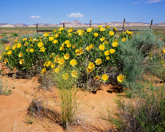 |
May 2002
Rough Mules Ears and Temple Mountain in the distance.
Looking west from the intersection of the Canyonlands N.P. Maze District access road and Utah Highway 24. (BLM Lands)
Latitude N38d 37.852'
Longitude W110d 33.985'
Elevation 4,967 ft.
Paved - Standard auto.
|
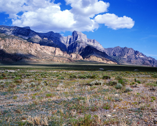 |
June 2002
Notch Peak and Tule Valley.
Looking southeast to Notch Peak on the Tule Valley Road section of the Notch Peak Scenic Loop in Utah’s west desert. (BLM Lands)
Latitude N39d 10.790'
Longitude W113d 28.910'
Elevation 4,595 ft.
Gravel/washboard - Standard auto.
|
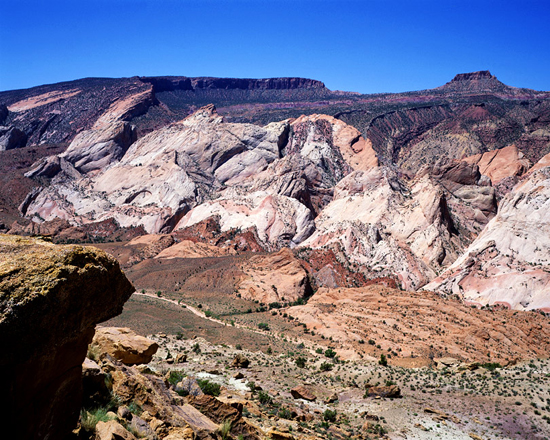 |
July 2002
Tilted Navajo Sandstone and the Carmel Formation.
Looking southwest from Halls Overlook three miles west of The Notom-Bullfrog Road in Capitol Reef National Park, UT.
Latitude N37d 43.091'
Longitude W110d 55.790'
Elevation 5,235 ft.
Gravel/rock slabs - High Clearance 2WD - impassable when wet.
|
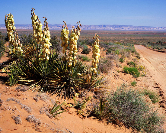 |
August 2002
Flowering Yucca in The San Rafael Desert.
Looking west from the Canyonlands N.P. Maze District access road near Hanksville, UT. (BLM Lands)
Latitude N38d 30.086'
Longitude W110d 25.235'
Elevation 5,553 ft.
Gravel/sand - Standard auto to Hans Flat Ranger Station - H.C. 2WD/4WD beyond.
|
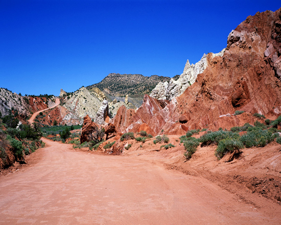 |
September 2002
Cottonwood Wash Road and Tropic Shale below the Cockscomb.
Looking north on Cottonwood Wash Road in Grand Staircase-Escalante National Monument, UT. (BLM Lands)
Latitude N37d 23.308'
Longitude W111d 50.919'
Elevation 5,577 ft.
Gravel/dirt- Standard auto - impassable when wet.
|
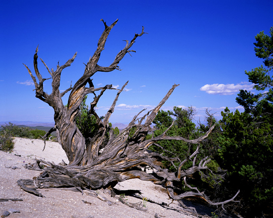 |
October 2002
Utah Juniper at the base of Crystal Peak.
Looking east from the south side of Crystal Peak on the Black Rock-Crystal Peak-Garrison Highway in the west desert of Utah. (BLM Lands)
Latitude N38d 47.380'
Longitude W113d 35.863'
Elevation 6,542 ft.
Gravel/washboard - Standard auto.
|
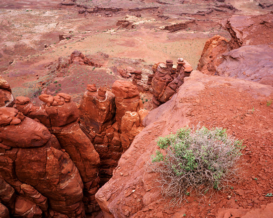 |
November 2002
Hurrah Pass and Utah Serviceberry(Amelanchier utahensis).
Looking east from Hurrah Pass into Cane Creek Canyon on the Lockhart Basin Road near Moab, UT. (BLM Lands)
Latitude N38d 28.944'
Longitude W109d 37.446'
Elevation 4,713 ft.
Gravel/dirt - High Clearance 2WD- impassable when wet.
|
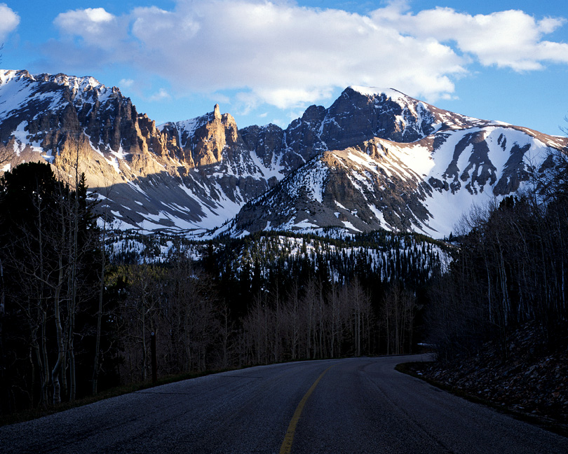 |
December 2002
Wheeler Peak from the Wheeler Peak Scenic Drive.
Looking south from the Wheeler Peak Scenic Drive in Great Basin National Park, NV.
Latitude N39d 1.270'
Longitude W113d 18.194'
Elevation 10,092 ft.
Paved - Standard auto - closed in winter.
|
 |
January 2003
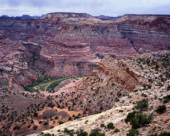
The Wedge and San Rafael River.
Looking south from the Wedge Overlook into the San Rafael River Canyon, UT. (BLM Lands).
Latitude N39d 5.605'
Longitude W110d 45.420'
Elevation 6,239 ft.
Gravel/washboard - Standard auto.
|