 |
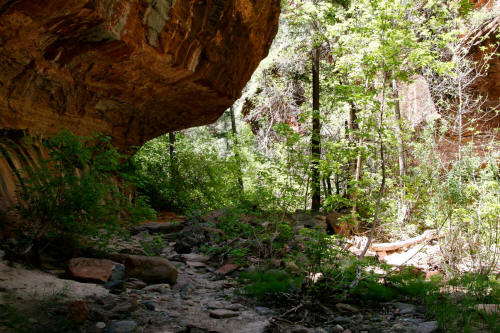
First view of undercut canyon walls. Not far downstream from
the first obstacle.
1
|
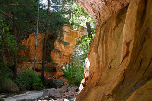 |
Another view with good color in the rock of the canyon walls as you
continue downstream.
2
|
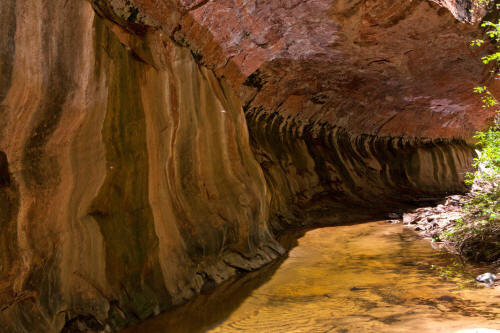 |
Close up view of the overhanging rock walls.
3
|
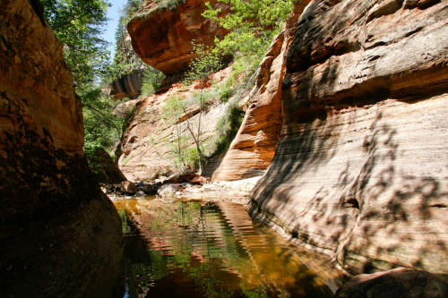 |
The stream bed narrows at this point and from now on there are
multiple pools of water that must be crossed.
Some of the water is ankle deep and other pools are over your head or
too far to jump - you just have to get wet.
4
|
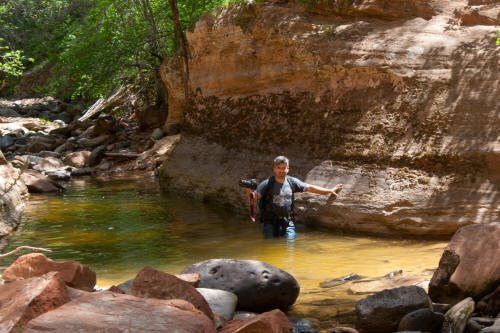 |
Good example of a waist deep pool of water along the route in the upper
section of the Left Fork of North Creek.
5
|
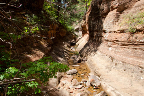 |
Typically the streambed is this wide or slightly wider. It's a
great adventure to go through this drainage.
6
|
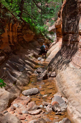 |
Traversing the drainage.
7
|
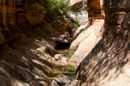 |
Similar tighter view.
8
|
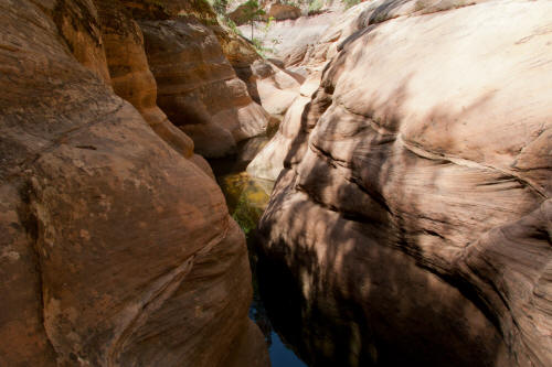 |
Another view downstream. You could probably traverse the
streambed on the shelf to the right in this section but once you are wet
what difference does it make if you get more wet.
9
|
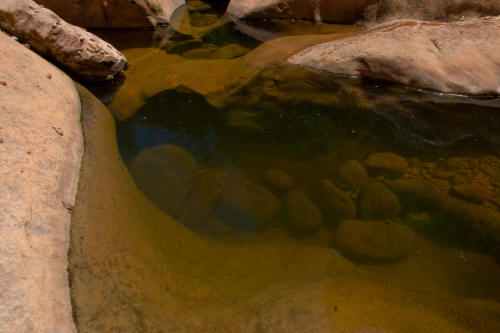 |
Example of a very deep pool of water. The rock is kind of slippery
so sometimes it's hard to climb out of these holes until you can grab
something solid.
10
|
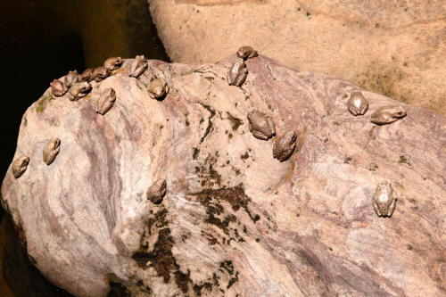 |
Amazing rock colored frogs. Did not even see them right away
because they are very well camouflaged by their color. Ravens
patrol this drainage by flying downstream about ten feet above ground
level.
11
|
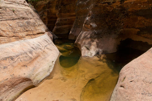 |
Continuing downstream.
12
|
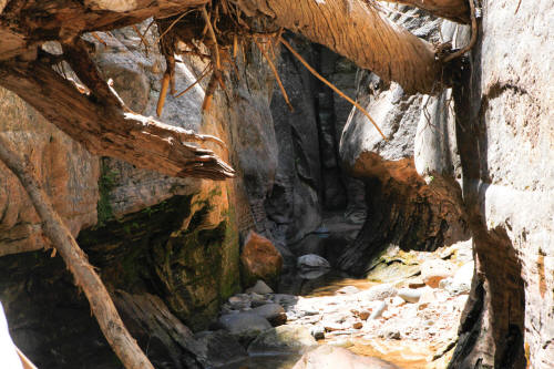 |
Tree limbs lodged into the narrow deep passage at this point.
13
|
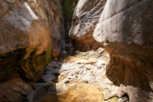 |
View in the channel just beyond the tree limbs in previous image.
14
|
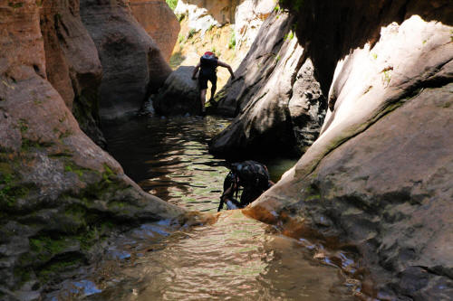 |
Two hikers passed us at this spot. This pool was about chest deep.
15
|
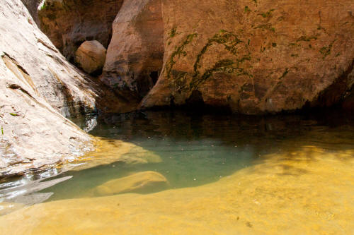 |
Location of the famous underwater hole in the rock that you can pass
through. Did not try it.
16
|
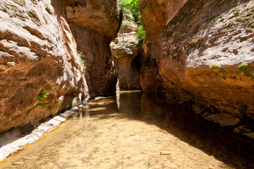 |
Absolutely beautiful passage.
17
|
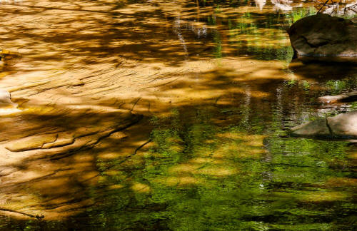 |
Good color in the streambed against the very green moss.
18
|
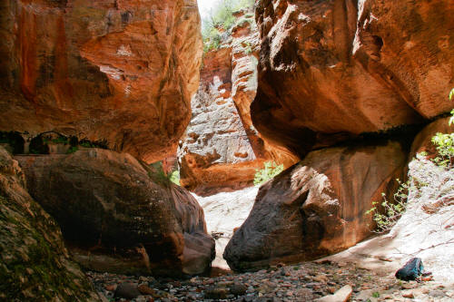 |
From this point on the canyon walls
are higher on either side. There is a ledge visible on the left side of the canyon wall that allows a very sketchy passage to a high trail around the next three
water obstacles. We continued from this point through two of the
water obstacles. We did
not pass the third or bowling ball obstacle because two logs were jammed underneath and we
could not see how to get around. We backed up to this point and
traversed the ledge.
19
|
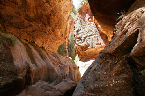 |
This image shows the extent of the very exposed ledge that we crossed to
access the high trail that passes the bowling ball. If you slide off the ledge you
can clearly see from this image what you are going to drop into.
The ledge is sloping, sandy and with alternating wet patches every three
feet over its entire length. The overhang is constantly snagging
your backpack as you crawl jamming your knees into the rock for dear life. You probably could not rig a rope but if you could
it would be a good thing. Not a passage I care to do again.
Certainly memorable.
20
|
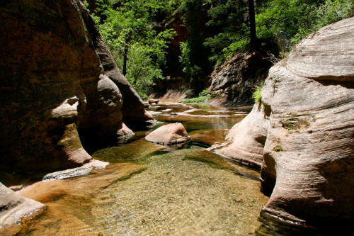 |
Continuing downstream beyond the bowling ball obstacle. The trail
that skirts above the bowling ball obstacle requires a
rappel or down climb to drop back down to creek level. After
returning to the creek and progressing down canyon there are
several shallow passages with very clear water.
21
|
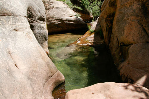 |
Just when you start to dry another very deep pool must
be crossed.
22
|
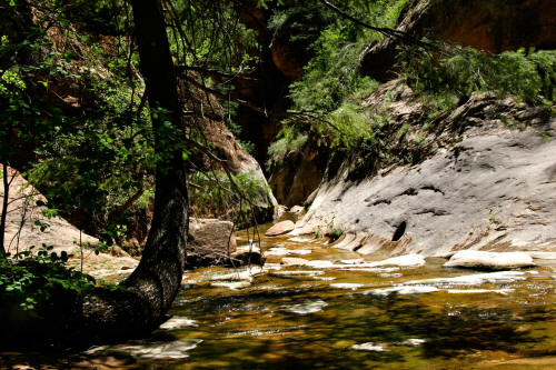 |
Another great passage along the Left Fork of North Creek.
23
|
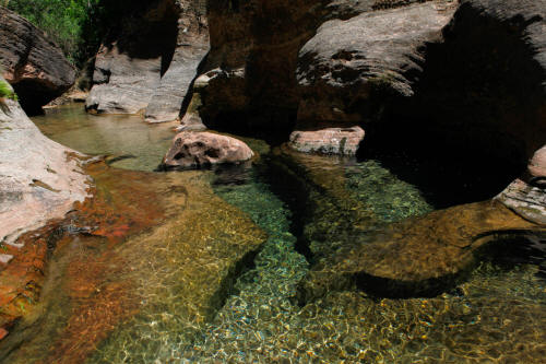 |
Very good section with clear water over sold rock.
24
|
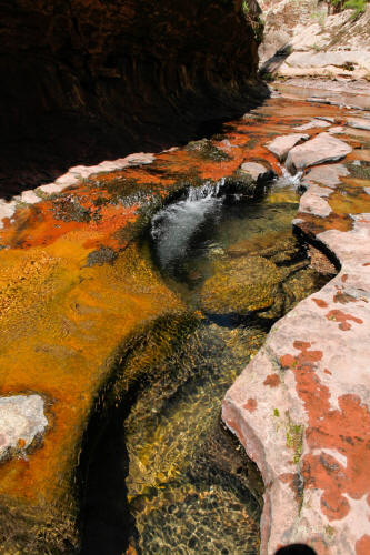 |
Red color in the stream bed from heavy iron oxide
content in the rock.
25
|
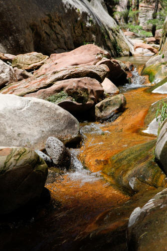 |
Continuing down stream.
26
|
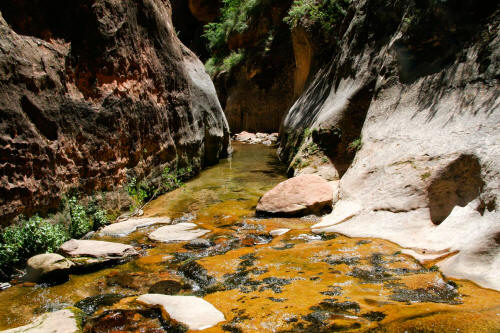 |
One very good passage after another. If you are taking photos
it will take a lot longer to traverse this route.
27
|
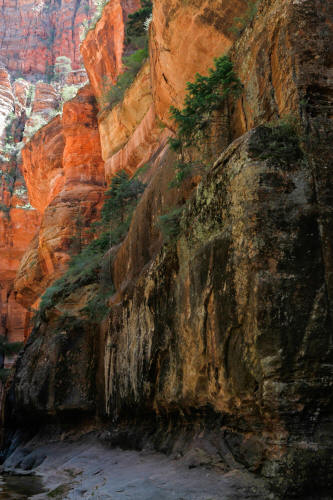 |
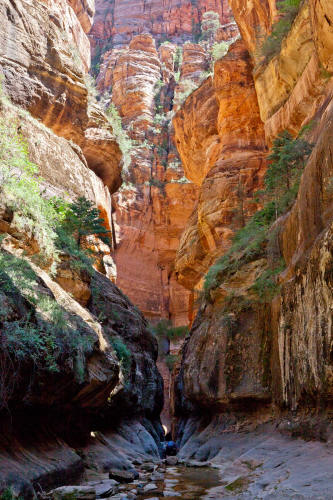
This image attempts to show the scale of the canyon walls. This
area was a long narrow chamber with high canyon walls just before the
next to the last chamber of the Upper Subway that contains the famous
tree trunk lodged in the river bed.
28
|
 |
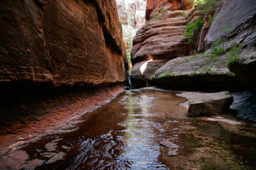
View
looking downstream in the same chamber as the previous image at the
drop-in point to the next chamber. It's about an 8 foot straight
drop at a waterfall and puts you into the most amazing grotto on the
route.
29
|
 |
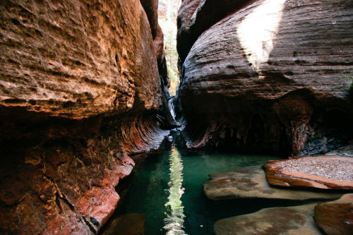
A view back upstream from the next to the last chamber. The famous log is in
this section around a corner downstream.
30
|
 |
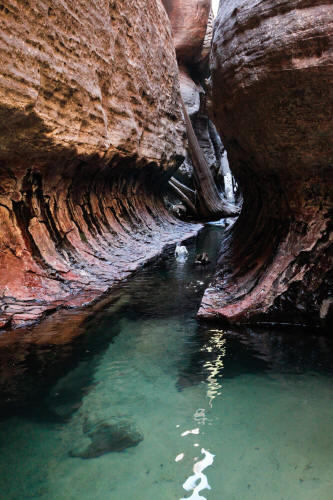
View again upstream into the most amazing grotto on the route. We
don't have photos inside this grotto because the cameras were in dry
bags. We took the cameras back out after passing this spot.
31
|
 |
This is a view into the grotto. To access this area upstream you
have to drop about eight feet into a waist deep pool. This pool has six
or more half-circle chambers carved out of the rock on both sides of the
canyon. One of the chambers has an oval window worn between
it and the adjacent chamber. An absolutely wonderful place.
The water is crystal clear and pretty cold. The pool in the
foreground is quite deep and another little swim. This is the last
pool you have to cross.
32
|
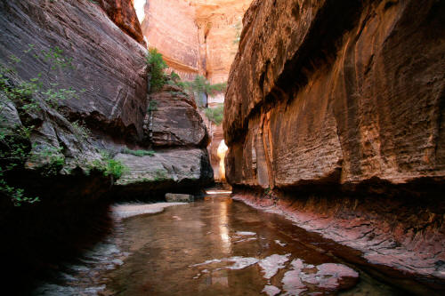 |
View downstream and the canyon walls are several hundred feet high.
This chamber is narrow and not much light at this time of day. When you are sopping wet with no sunlight it gets a bit cool.
33
|
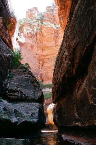 |
Continuing downstream.
34
|
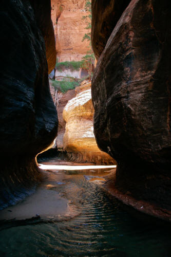 |
This is a view into the famous undercut chamber that sweeps more than 180
degrees.
35
|
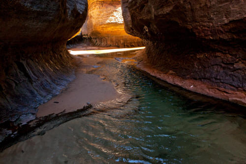 |
Close up of previous image.
36
|
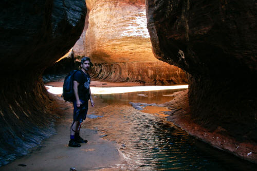 |
Completely wet and there was a bit of a cold breeze.
37
|
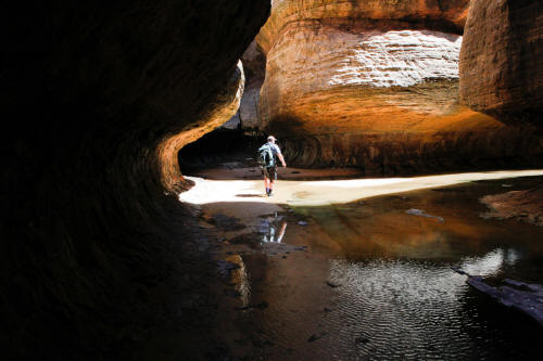 |
Sopping wet scale figure looking at the famous tree trunk.
38
|
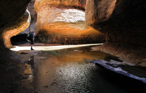 |
Scale figure shooting the famous tree trunk and getting some sun.
Now you know why they wear wet suites on this hike.
39
|
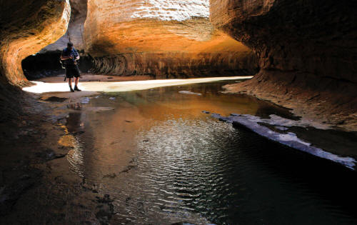 |
Sopping wet scale figure reviewing the image of the famous tree trunk.
Quite a privilege to be standing in such a place.
40
|
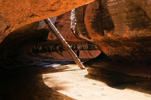 |
The famous tree trunk in the Upper Subway of Zion National Park.
41
|
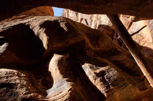 |
View up at the tree trunk to the very narrow opening at the sweeping
undercut.
42
|
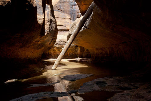 |
View is upstream to the tree trunk.
43
|
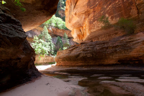 |
Another series of sweeps in the overhanging walls just past the tree
trunk. This leads to the drop down point to the Lower Subway.
44
|
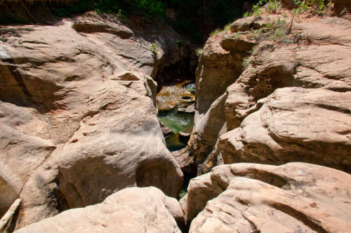 |
This is the end of the Upper Subway. A rappel point is set up
at the top of the downward sloping slab in the upper left corner of this
image.
45
|
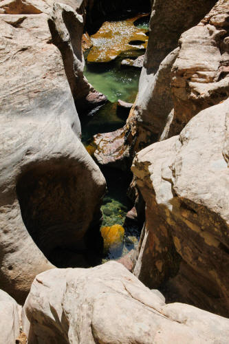 |
View from the Upper Subway into the pools and grottos of the Lower
Subway.
46
|
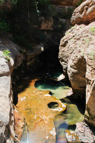 |
Another view from the Upper Subway into the Lower Subway. The
Upper Subway is as good as it gets.
47
|
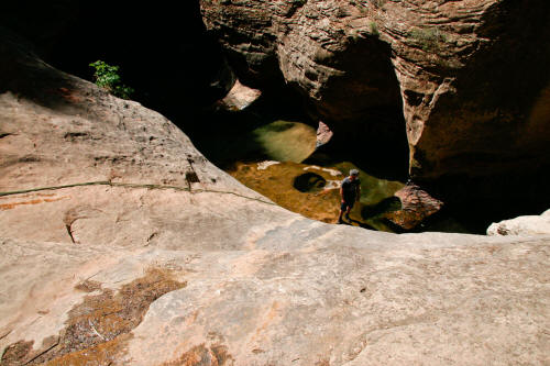 |
Rappel line at the drop-in point from the Upper Subway to the Lower
Subway. This is fairly steep rock and in our water shoes it's a
little sketchy standing and setting up the rappel line.
48
|
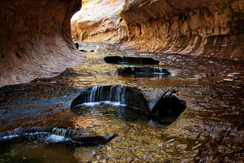 |
View upstream of the very dramatic undercut and curving
walls of the
Lower Subway. Past this
point there are a series of alternating grottos with water pools ending
in a pour-off with a shallow cave underneath. The Lower Subway ends
at this shallow cave. The cliff band visible in this image at
top-center must be
scaled to proceed to the Upper Subway. Reaching the Upper Subway is
a physically challenging trek whether you go in from top-down or
bottom-up and should not be taken lightly.
49
|
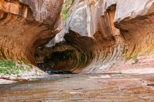 |
View upstream toward the Lower Subway from just outside of the slot.
50
|
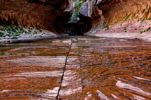 |
Very linear ground plane cracks in the wide flat solid rock streambed as
you approach the Lower Subway.
51
|
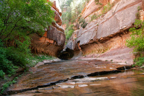 |
Another view upstream toward the Lower Subway from 100 yards
downstream.
52
|
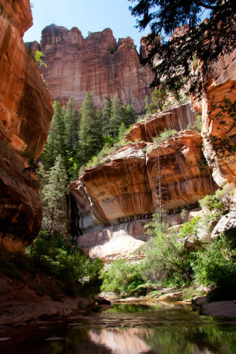 |
View downstream from the Lower Subway. The canyon walls are several
hundred feet high.
53
|
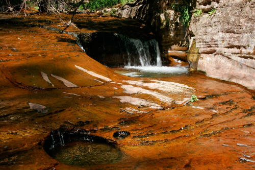 |
A small cascade downstream from the Lower Subway. There are a
series of cascades downstream from the Lower Subway running for about 1/4
mile. The rock in the streambed is always wet and with enough
iron-oxide content is also a very rich red color.
54
|
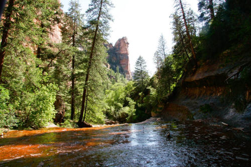 |
View downstream of the wide red solid rock streambed of the Left Fork of
North Creek.
55
|
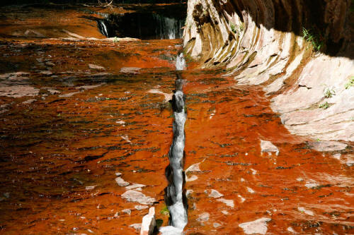 |
A linear deep and narrow crack provides a path for water to escape
one of the many pools upstream.
56
|
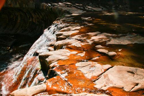 |
View across the streambed
at the largest cascade.
57
|
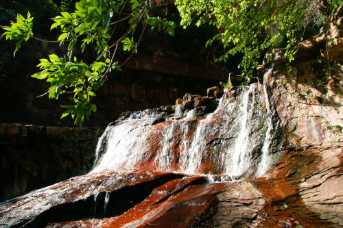 |
View of cascade from below.
58
|
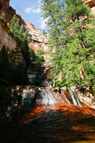 |
Overview of streambed, cascade and surrounding canyon walls.
59
|
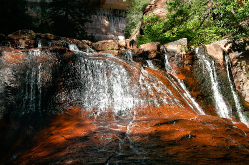 |
View of cascade from the middle of the streambed.
60
|
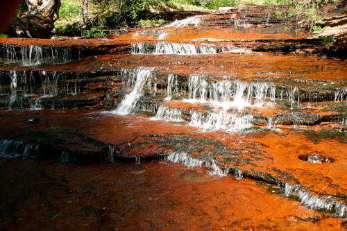 |
Another very nice series of small cascades farther downstream
61
|
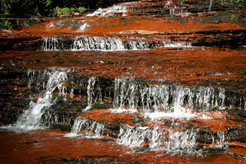 |
Cascades in red sandstone.
62
|
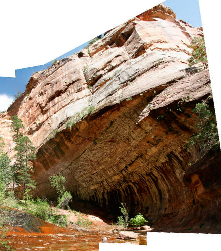 |
Composite image of the massive undercut along the Left Fork of
North Creek at near the end of the cascades.
63
|
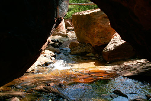 |
This is the end of the wide open rock
streambed that is typical for
about 1/4 mile downstream from the Lower Subway. From this
point you will be treated to what may be one of the most rock
choked, streambeds in the United States.
64
|
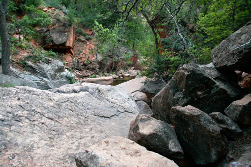 |
This view or something like this view will greet you for the next 2 3/4
miles until the 750 foot straight up hike out climb at the Left Fork
Trailhead. There is no designated trail. Pieces of trail
exist along the route on both sides of this massively boulder choked
Creek. As you get closer to the hike out climb you cross the creek
several dozen times. A serious obstacle course.
65
|