 |
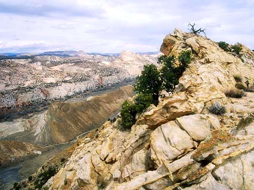
View looking north toward Castle Rock from near the top of the Cockscomb in Grand Staircase Escalante National Monument. (Utah)
1
|
 |
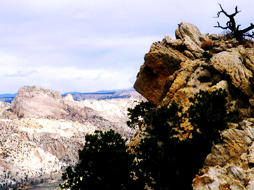
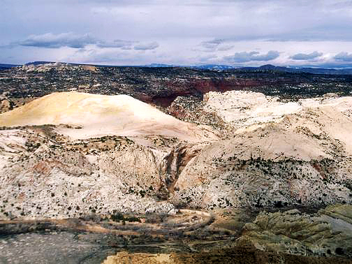
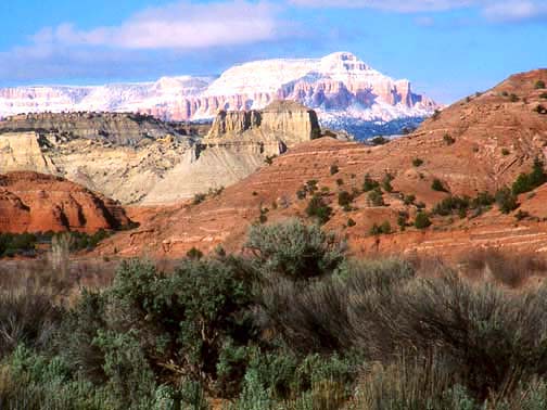
View looking north toward Castle Rock from the top of the Cockscomb in Grand Staircase Escalante National Monument. (Utah)
2
|
 |
Zoomed view looking northwest toward Castle Rock from the top of the Cockscomb in Grand Staircase Escalante National Monument. (Utah)
3
|
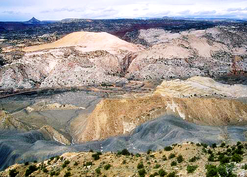 |
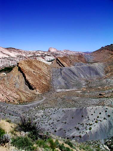
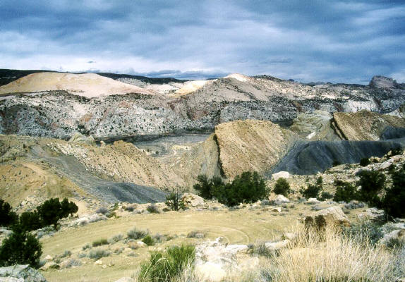
Looking west to the confluence of Hackberry Wash and Cottonwood Wash from the top of the Cockscomb.
Mollies Nipple in the distance. Grand Staircase-Escalante National Monument (Utah)
4
|
 |
Zoomed view looking west to the confluence of Hackberry Wash and Cottonwood Wash from the top of the Cockscomb. (Utah)
5
|
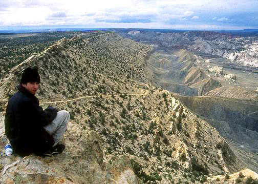 |
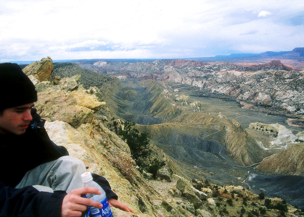
Looking south down the spline of the Cockscomb and Cottonwood Wash. Grand Staircase-Escalante National Monument (Utah)
6
|
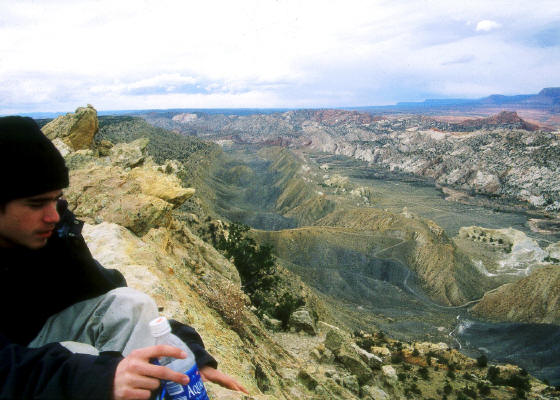 |
Zoomed view looking south down the spline of the Cockscomb and Cottonwood Wash. Grand Staircase-Escalante National Monument (Utah)
7
|
 |
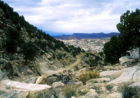
Looking west toward Hackberry Canyon from the switchbacks in the 4WD road over the Cockscomb. Castle Rock on the right at the horizon.
Grand Staircase-Escalante National Monument (Utah)
8
|
 |
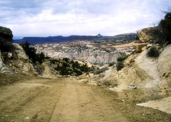
Looking southwest from the pass over the Cockscomb. Grand Staircase-Escalante National Monument (Utah)
9
|
 |
Looking southwest from the 4WD road just below the pass over the Cockscomb. Mollies Nipple in the distance.
Grand Staircase-Escalante National Monument (Utah)
10
|
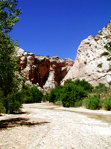 |
View approaching the narrows of Hackberry Wash. (Utah)
11
|
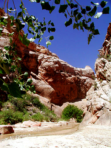 |
View of Hackberry Wash at the start of the narrows. (Utah)
12
|
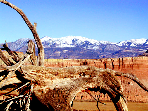 |
Zoomed view of Mt. Ellen in the Henry Mountains near Sandy Ranch from the Notom Bullfrog road. (Utah)
13
|
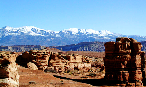 |
Zoomed view of the Henry Mountains from the Notom Bullfrog road. (Utah)
14
|
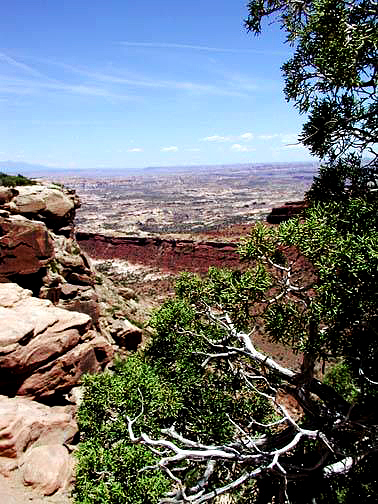 |
Looking toward The Maze from near the top of the Golden Staircase in The Maze District of Canyonlands National Park. (Utah)
15
|
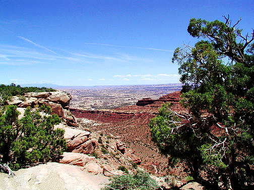 |
Looking toward The Maze from near the top of the Golden Staircase in The Maze District of Canyonlands National Park. (Utah)
16
|
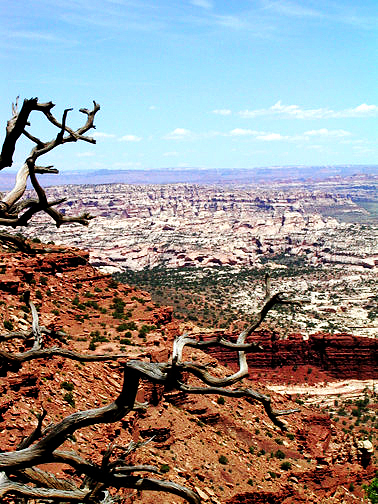 |
Looking at "The Maze" from the top of the Golden Staircase in The Maze District of Canyonlands National Park. (Utah)
17
|
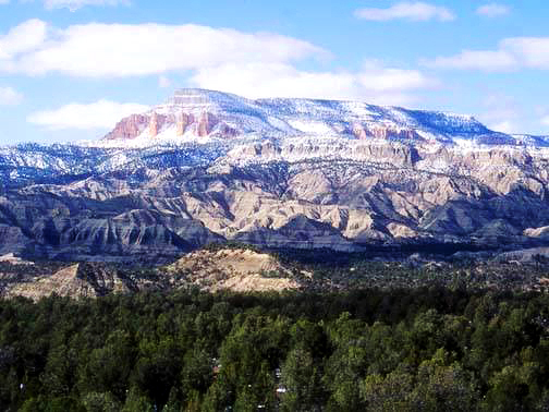 |
View of "Powell Point" and "The Blues" from Hwy. 12 near Henrieville, Utah.
18
|
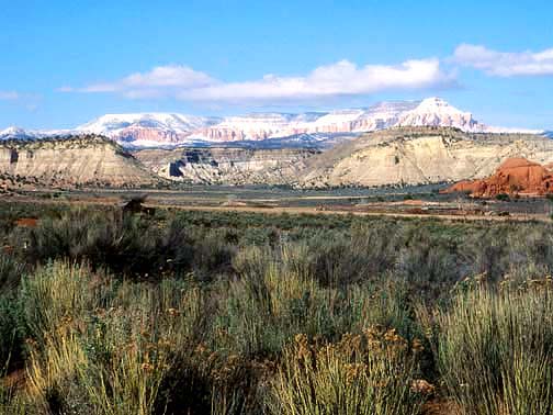 |
View of "Powell Point" from the paved access road to Kodakchrome Basin State Park near Cannonville, Utah.
19
|
 |
Zoomed view of "Powell Point" from the paved access road to Kodakchrome Basin State Park near Cannonville, Utah.
20
|