|
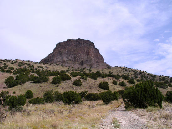
View slightly north of east of Cabezon Peak from the trailhead.
1
|
|
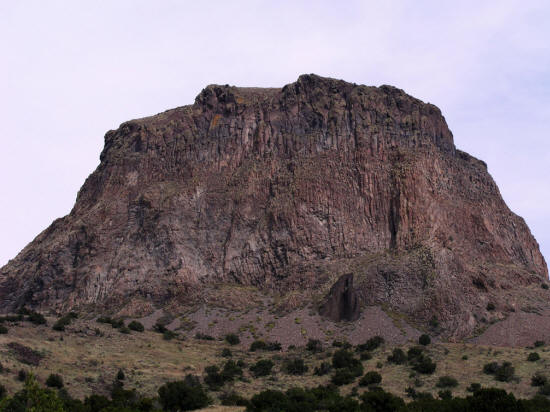
Zoomed view looking slightly northeast at Cabezon Peak from near trailhead.
2
|
|
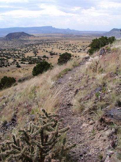
View looking southwest from the trail to base of Cabezon Peak toward the Baca del Oso wilderness area.
Cerro Chato is visible on the left and a part of Cerro Cuate on the right
in the mid-ground.
3
|
|
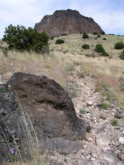
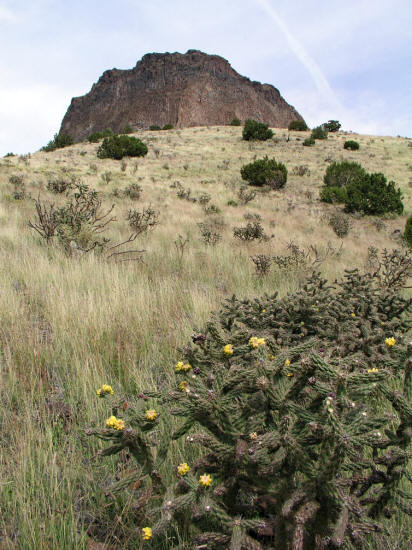
View looking northeast from trail to base of Cabezon Peak.
4
|
|
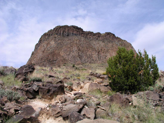
View looking northeast from trail to base of Cabezon Peak.
5
|
|
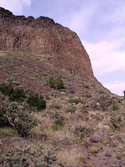
View looking northeast from trail to base of Cabezon Peak.
6
|
|
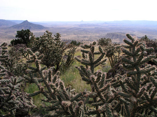
View looking northeast from trail at base of Cabezon Peak.
7
|
|
View looking south from south side of Cabezon Peak with Cerro Cochino
on the left near the horizon.
8
|
|
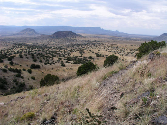
View looking southwest from trail to base of Cabezon Peak toward the Baca del Oso wilderness area.
Cerro Chato visible near the center of the image with Cerro de Santa
Clara to the left.
9
|
|
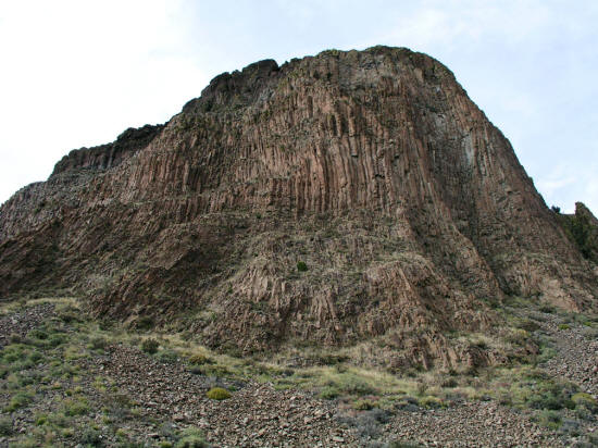
View looking generally north from south side of Cabezon Peak.
10
|
|
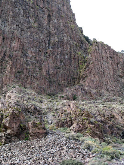
Zoomed view looking northwest from southeast side of the base of Cabezon Peak to climb approach.
11
|
|
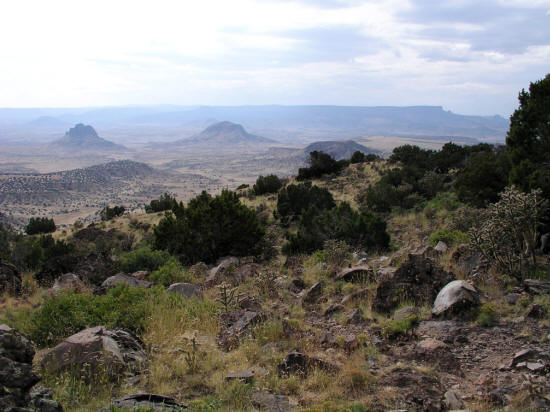
View looking southwest from trail to base of Cabezon Peak toward the Baca del Oso wilderness area.
Cerro Guadalupe and Cerro
de Santa Clara visible near the horizon.
12
|
|
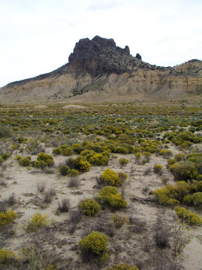
This is the remnant plug of a volcano named Cerro Guadalupe near Cabezon Peak.
13
|
|
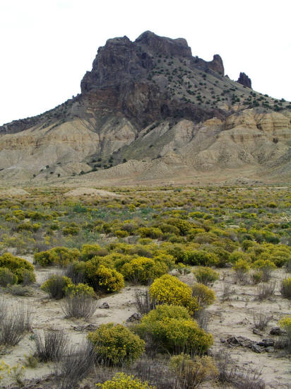
Close-up of Cerro Guadalupe.
14
|
|
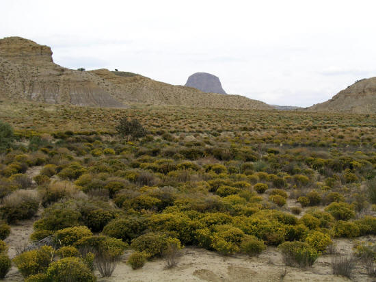
View of Cabezon Peak from near the base of Cerro Guadalupe.
15
|
|
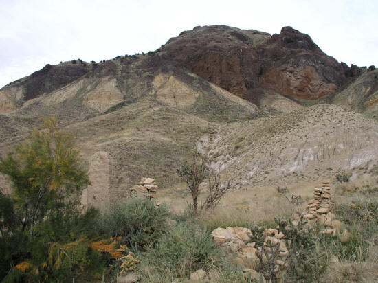
Adobe and stone ruins in the Cabezon area.
16
|
|
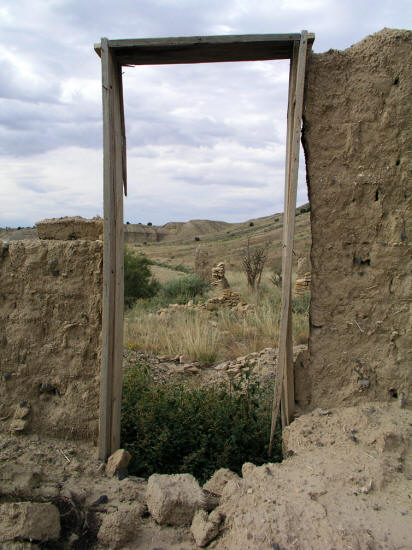
Looking through the doorway of an adobe ruin.
17
|
|
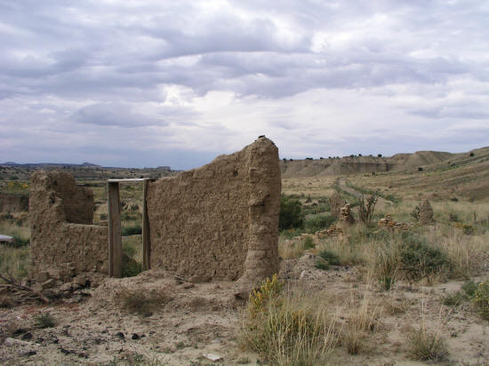
Adobe ruin and abandoned roadway.
18
|
|
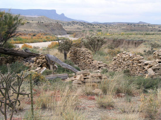
Stone ruins and the Rio Puerco River.
19
|
|
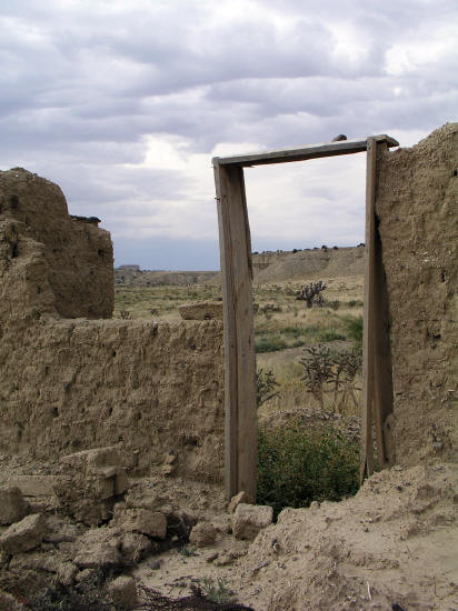
Adobe ruins and doorway with tree trunk in view beyond.
20
|
|
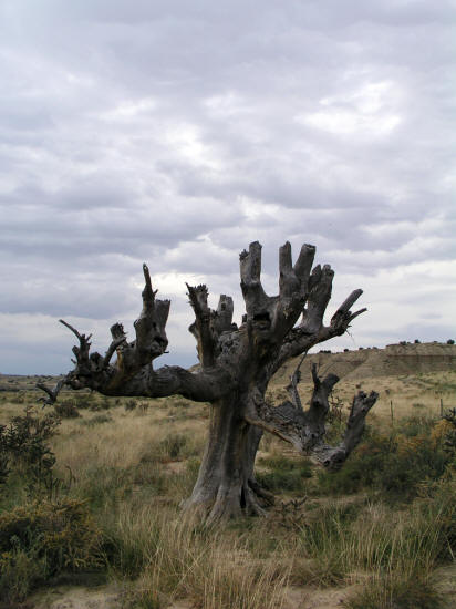
Remainder of a large cottonwood tree.
21
|
|
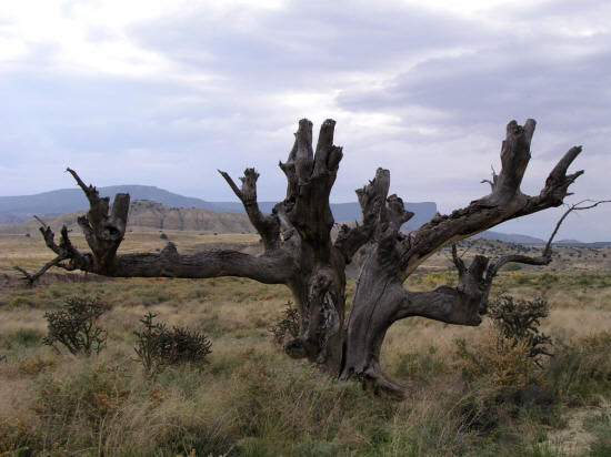
Remnant trunk of what must have been a very impressive tree.
22
|
|
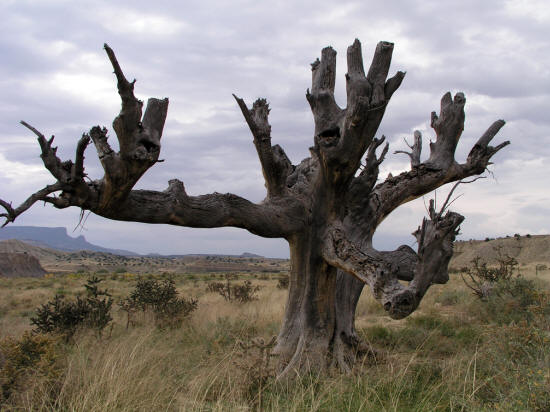
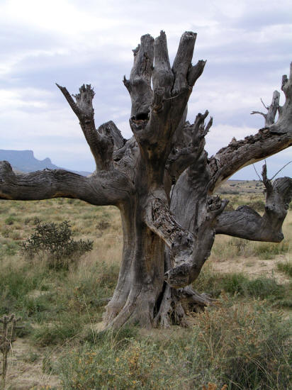
Tree trunk from a slightly different angle.
23
|
|
|


