 |
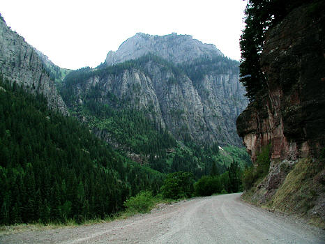
The approach road to Yankee Boy Basin.Image taken August 2005.
1
|
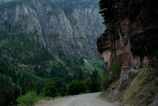 |
Close up view of turn in road from previous image. The approach road to Yankee Boy Basin - County Road 361 - CR 361. Image taken August 2002.
2
|
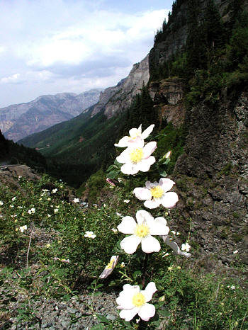 |
Along the approach road to Yankee Boy Basin. Image taken August 2002.
3
|
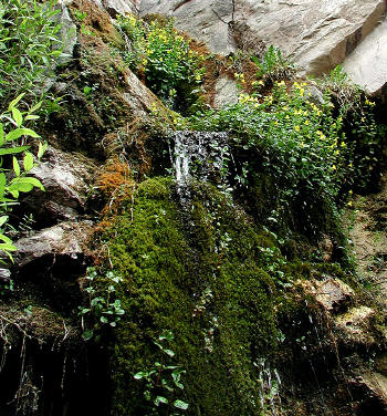 |
One of several seeps along the Yankee Boy Basin access road. Image taken August 2002.
4
|
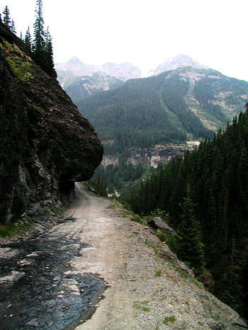 |
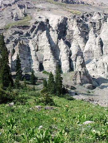
Rock over-hang along Yankee Boy Basin access road. Image taken June 2002.
5
|
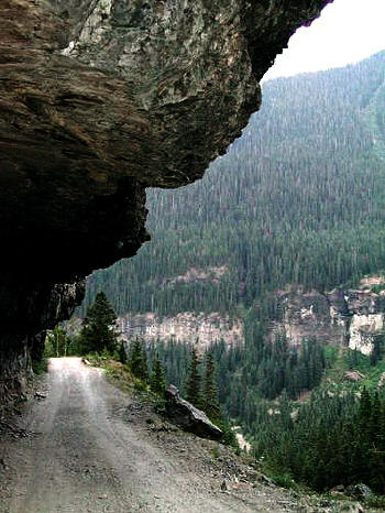 |
Close-up of rock over-hang along Yankee Boy Basin access road. Image taken June 2002.
6
|
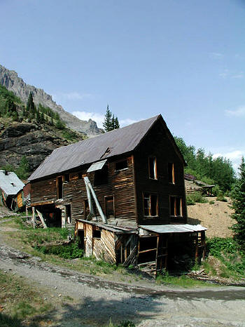 |
Abandoned mine building along the road to Yankee Boy Basin near the ghost town of Sneffels. (Colorado) Image taken June 2002.
7
|
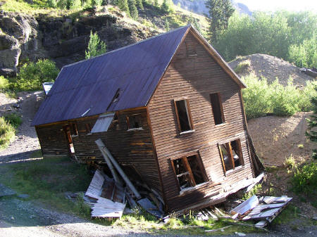 |
Similar photo of building in previous image taken in August of 2009 of the living quarters at this Sneffels, CO Mine. The building has suffered a collapse of it's support timbers in the
southwest corner. These buildings deserve some kind of preservation. Not complete reconstruction but at least left as historic ruins that do not collapse into a pile of unrecognizable boards.
8
|
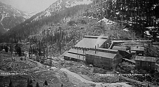 |
Image of the historic Revenue Mill at Sneffels, CO. This mill was just west of the dorms
in the previous image on the south or opposite side of the drainage.
9
|
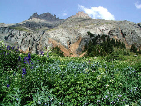 |
Wildflowers along the road into Yankee Boy Basin near Ouray, CO. Image taken June 2002.
10
|
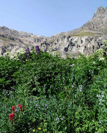 |
Wildflowers along the road into Yankee Boy Basin near Ouray, CO. Image taken June 2002.
11
|
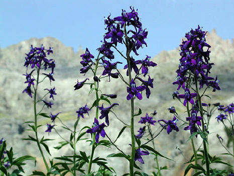 |
Wildflowers (Larkspur/Delphinium) along road into Yankee Boy Basin near Ouray, CO. Image taken June 2002.
12
|
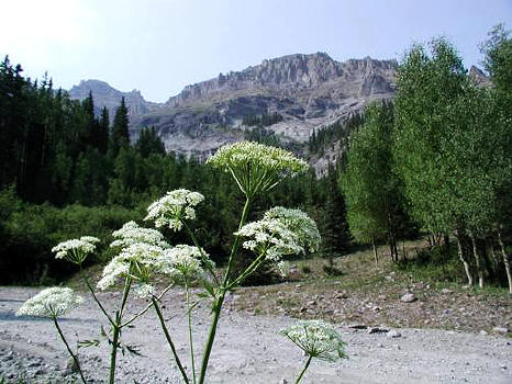 |
Wildflowers (Cow Parsnips) along road into Yankee Boy Basin near Ouray, CO. Image taken June 2002.
13
|
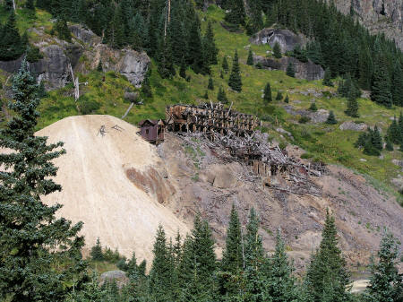 |
View of the Atlas Mine and Stamp Mill in Yankee Boy Basin from CR 26. Image taken August 2009.
14
|
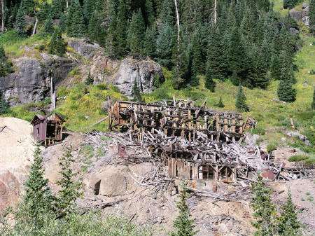 |
Close up view of the Atlas Mine and Stamp Mill in Yankee Boy Basin from CR 26. Image taken August 2009. This building has suffered the kind of damage you would expect of a high
altitude construction over the course of six years. The roof is essentially gone. After the historic image, the next four images show the interior of the building in June of 2002.
The first of these images clearly shows a roof and that roof appears to have been destroyed by winter weather conditions in this image.
15
|
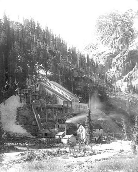 |
Historic view of the Atlas Mine and Stamp Mill.
16
|
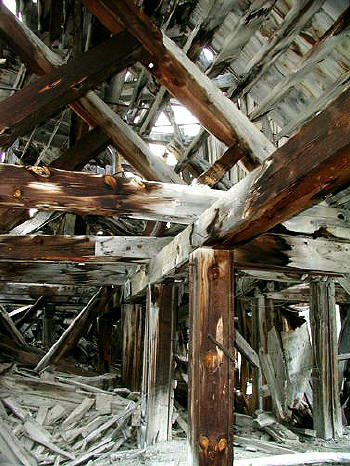 |
Inside the Atlas mine ruins in Yankee Boy Basin. Image taken June 2002. Notice the gable roof in this image.
17
|
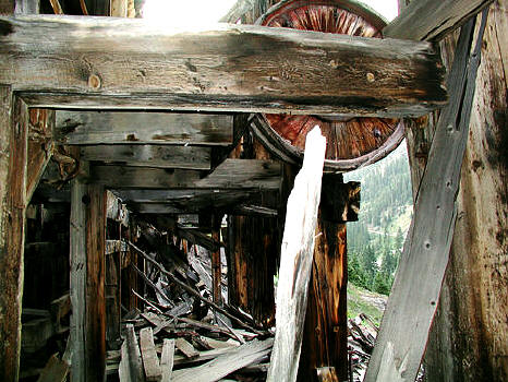 |
Equipment inside the Atlas Stamp Mill ruins in Yankee Boy Basin. Image taken June 2002.
18
|
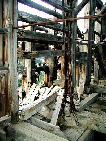 |
More Equipment inside the Atlas mine ruins in Yankee Boy Basin. Image taken June 2002.
19
|
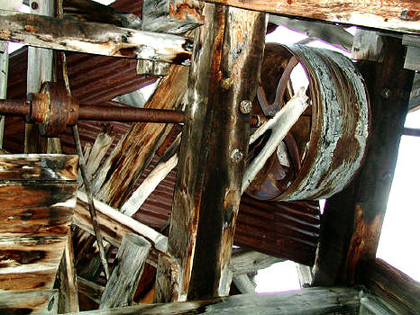 |
View into rafters to a belt pulley inside the Atlas Stamp Mill ruins in Yankee Boy Basin. Image taken June 2002.
20
|
 |
|
 |
|
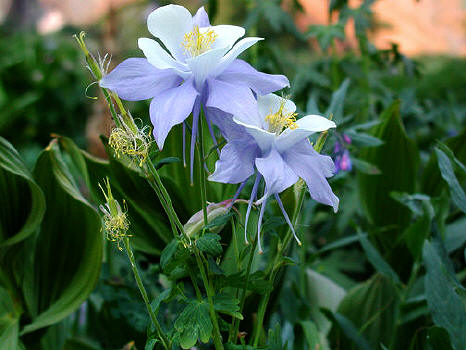 |
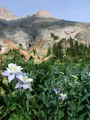
Wildflowers (Colorado Columbine) along the road into Yankee Boy Basin near Ouray, CO. Image taken June 2002.
23
|
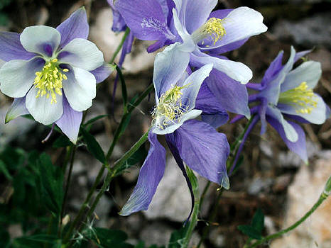 |
Wildflowers (Colorado Columbine) along the road into Yankee Boy Basin near Ouray, CO. Image taken June 2002.
24
|
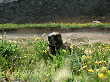 |
Marmot next to Wilson Lake below Mount Gillpin - Yankee Boy Basin. (Colorado). Image taken August 2002.
25
|
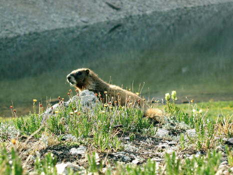 |
Marmot and Wilson Lake below Mount Gillpin - Yankee Boy Basin. (Colorado). Image taken August 2002.
26
|
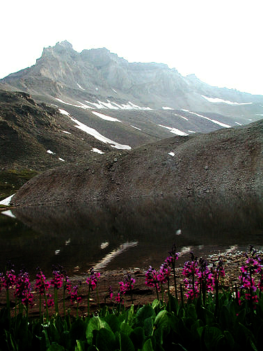 |
Wilson Lake below Mount Gillpin - Yankee Boy Basin. (Colorado)View of Wilson Lake from Kismet Peak (second image)
27
|
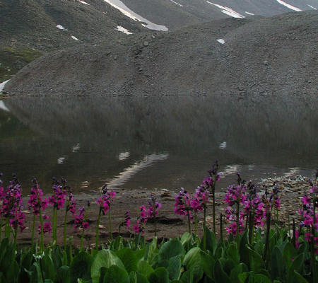 |
Wildflowers (Parry's Primrose) growing along Wilson Lake below Mount Gillpin - Yankee Boy Basin. (Colorado)
28
|


