 |
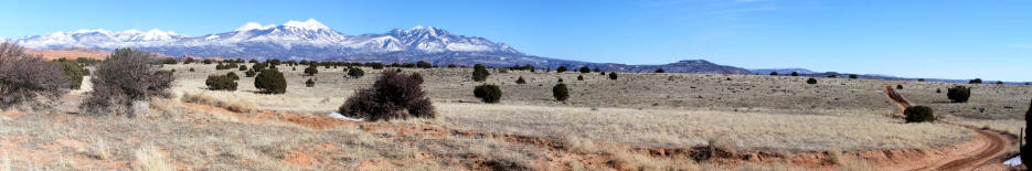
1. Panoramic view generally south from Balcony Arch in the Behind the Rocks area near Moab, UT. La Sal Mountains on the horizon.
This road is not suitable for automobiles.
|
 |
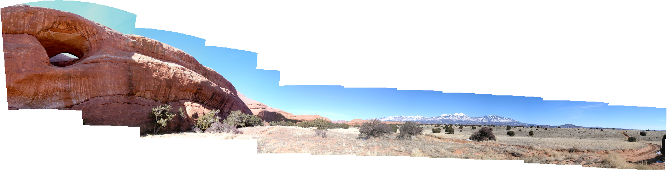
2. A 180 degree panoramic view from Balcony Arch in the Behind the Rocks area near Moab,
UT. The rock that contains Balcony Arch is indicated on maps as Lone Rock.
|
 |
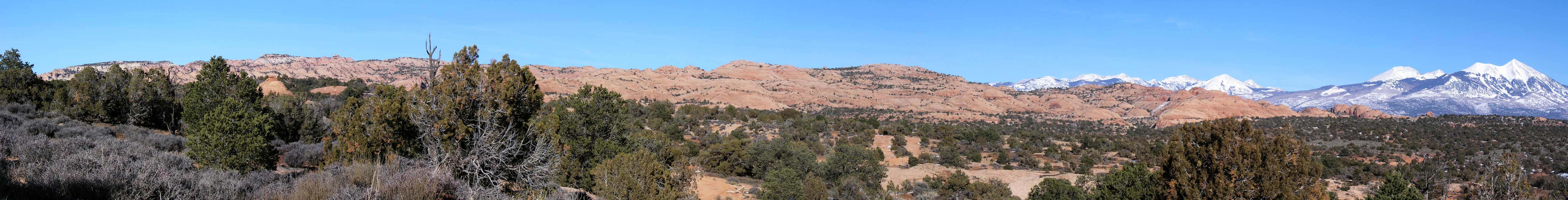
3. Panoramic view east to Bridger Jack Mesa from the Behind the Rocks area near Moab, UT. La
Sal Mountains on the horizon. This image taken from a two track east of Lone Rock.
|