 |
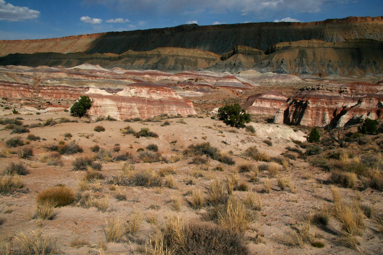
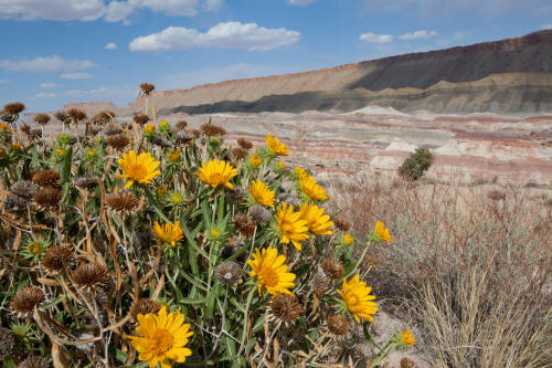
Looking east to northeast toward North Cainville Mesa and a
band of parallel running bentonite hills from along Cathedral Road with
Mules Ears. This area is just east of Capitol Reef National Park
and north of Highway 24.
1
|
 |
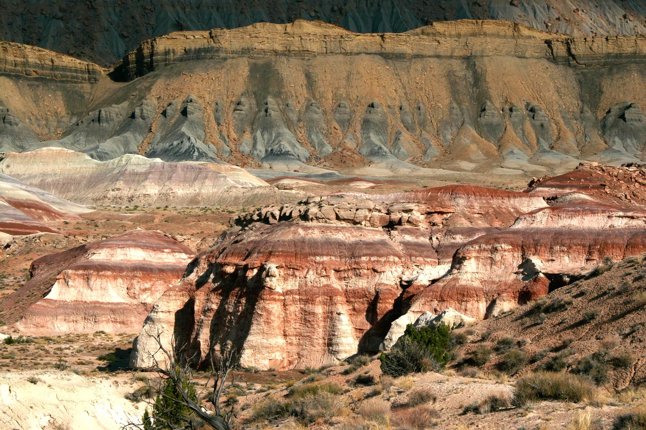
Looking southeast toward North Cainville Mesa and a band of parallel
running bentonite hills from along Cathedral Road.
2
|
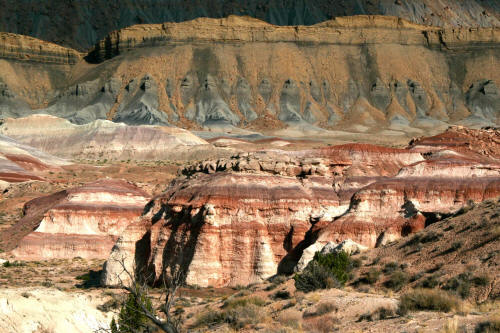 |
Zoomed view looking southeast toward North Cainville Mesa and a band
of parallel running bentonite hills from along Cathedral Road.
3
|
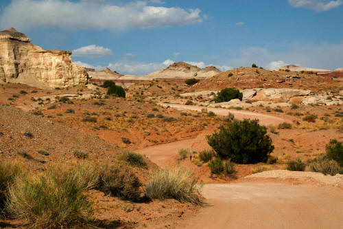 |
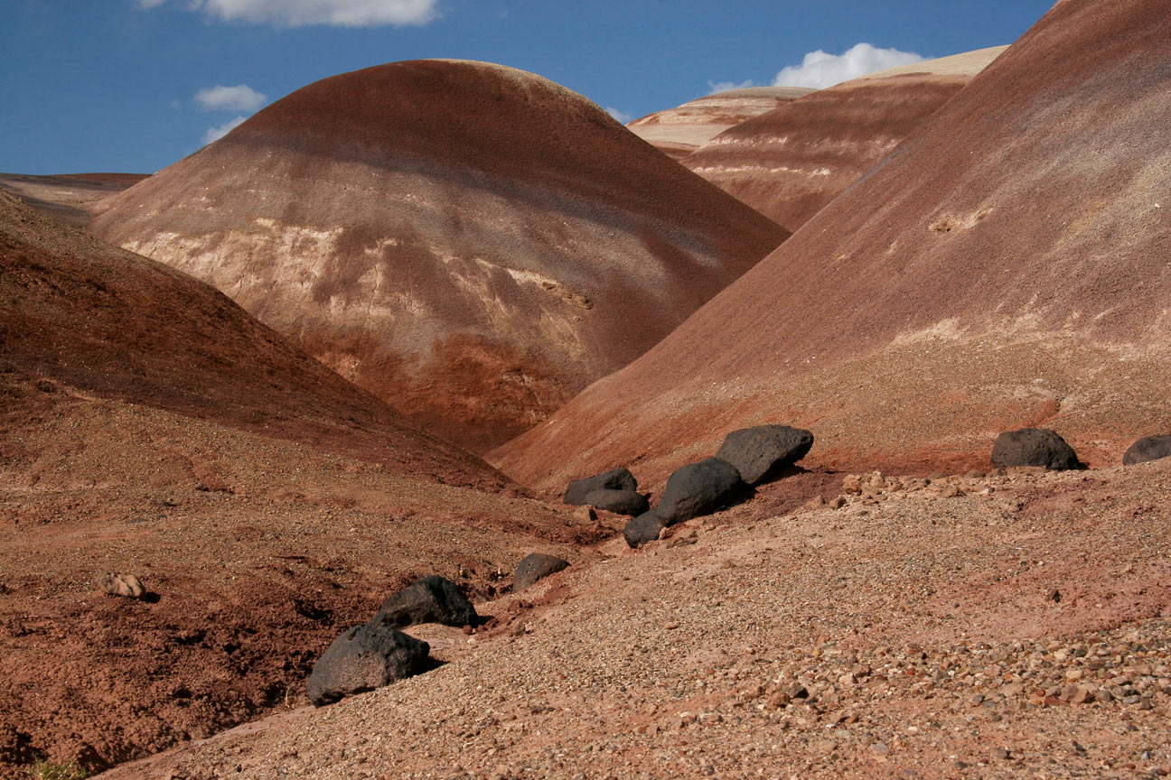
View northwest from the very winding Cathedral Road in the Bentonite
Hills area east of Capitol Reef National Park.
4
|
 |
Classic bentonite hills along Cathedral Road east of Capitol Reef
National Park.
5
|
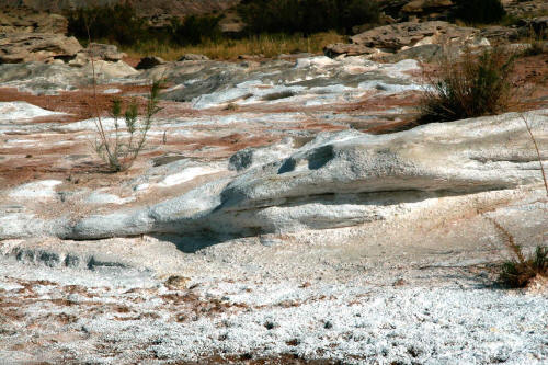 |
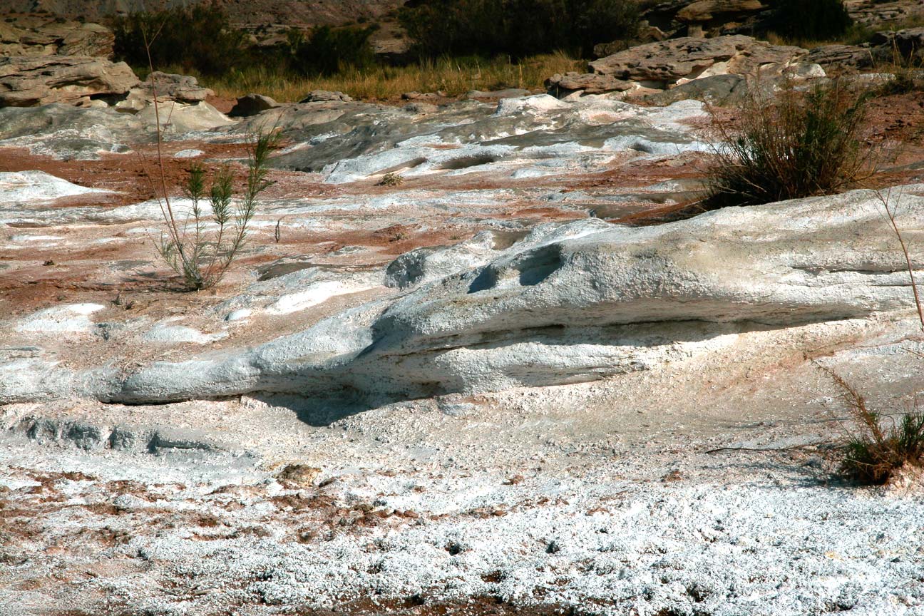
View to white gypsum formations
along Cainville Wash in the Bentonite Hills area just east of Capital
Reef National Park.
6
|