 |
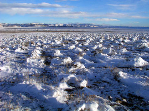
View to the Book Cliffs looking northeast over snow covered grass in Buck Canyon Wash. This image was taken from near the Book Cliffs access road at the I-70 Cisco, UT exit. The area is indicated on maps as "The Grassies".
1.
|
 |
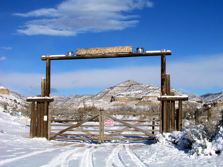
Ranch gate in the Book Cliffs at the end of the access road to Cottonwood Canyon.
2. |
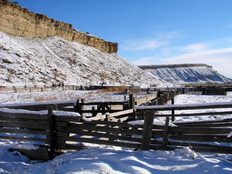 |
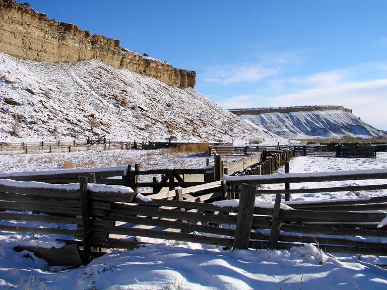
A large corral against the Book Cliffs in Cottonwood Canyon.
3. |
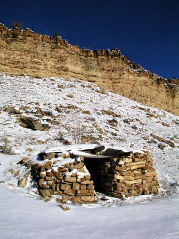 |
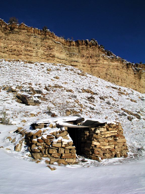
An abandoned stone shelter adjacent to the corral in the previous image.
4.
|
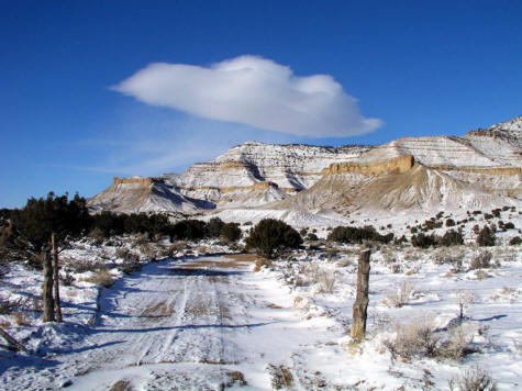 |
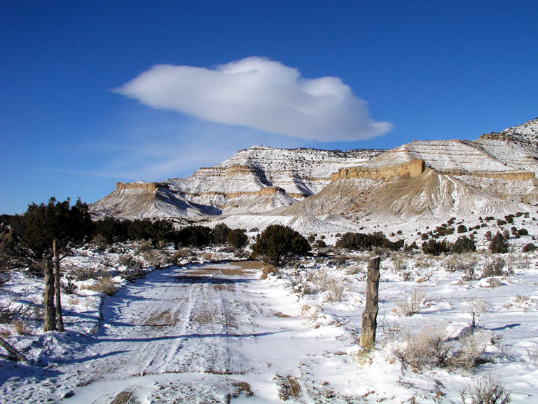
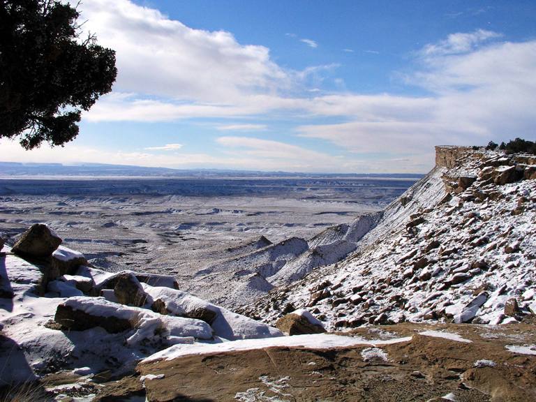
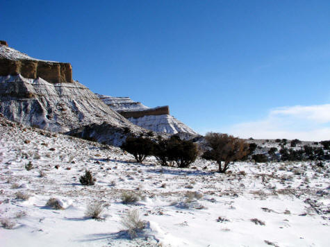
View west on a gravel road that skirts this section of the Book Cliffs near Corral Point.
5. |
 |
View east from the access road across the head of an unnamed drainage in the Book Cliffs.
6.
|
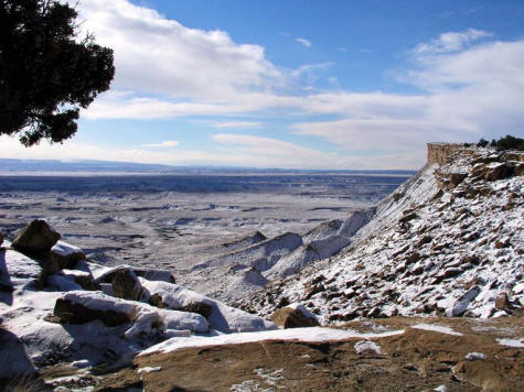 |
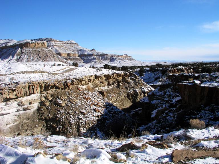
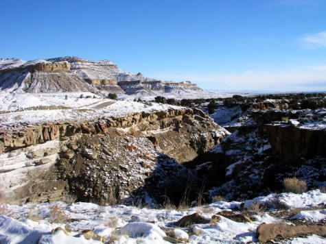
View south southwest at a point were the road passes the head of a drainage. GPS waypoints are N39.05.021, W109.28.309 - altitude 5442'.
7.
|
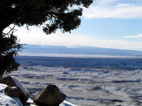 |
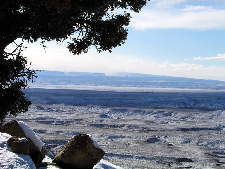
Zoomed view from position of the previous image. The small block on the horizon is an edge on view of the Priest and Nuns
& Castle Rock.
8.
|
 |
Looking back southeast on the approach road from near Big Hole. The route becomes a thin two track at this point.
9.
|
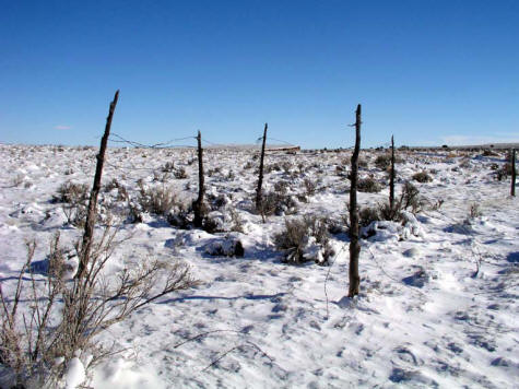 |
This may be a protective fence around a grave site. Did not notice a head stone and am uncertain.
It's located near Corral Point adjacent to the road. If anybody knows we would appreciate an email.
10.
|