|
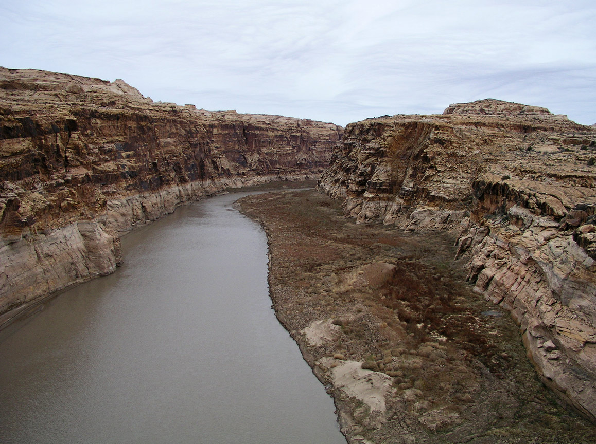
This view taken December of 2003 from the Hwy 95 bridge over The Colorado River looking downstream.
1.
|
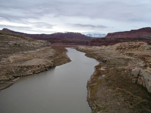 |
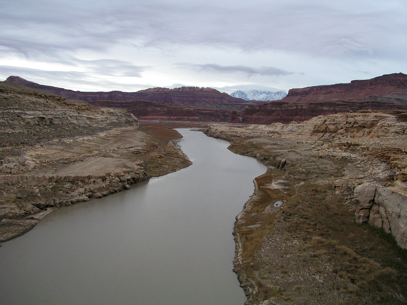
This view taken from the Hwy 95 bridge over The Colorado River looking upstream toward Hite, Utah.
2.
|
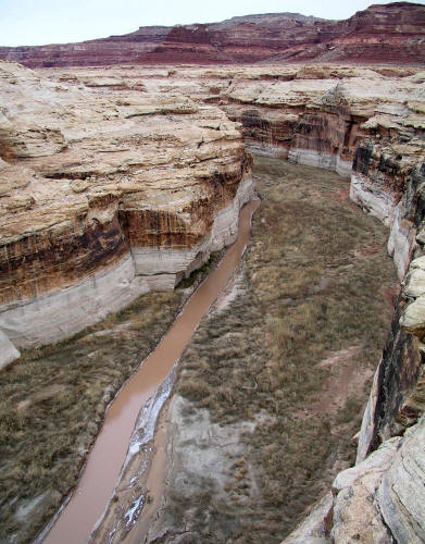 |
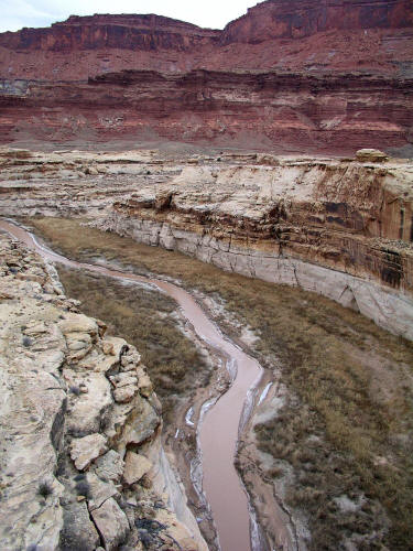
This view taken from the Hwy 95 bridge over The Dirty Devil River looking upstream shows the thick silt that has been deposited in the river channel over the past thirty years. The bathtub ring in the channel marks the high water level of Powell Reservoir.
3.
|
 |
This view taken from the Hwy 95 bridge over The Dirty Devil River looking downstream toward Hite.
4.
|
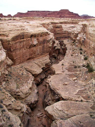 |
This view taken from the Hwy 95 bridge over White Canyon looking upstream.
5.
|
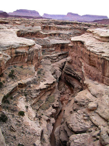 |
This view taken from the Hwy 95 bridge over White Canyon looking downstream. White Canyon drains into the Colorado River just south of Hite.
6.
|