 |
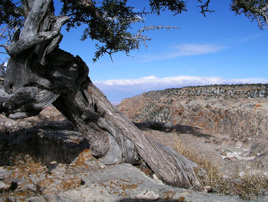
Looking east from just below Lipan Point. Lipan Point is the second observation point west from Desert View on the South Rim Road.
1.
|
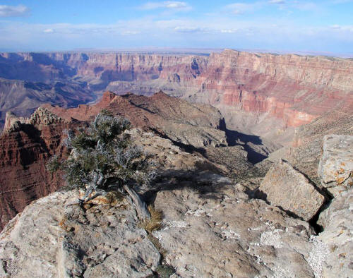 |
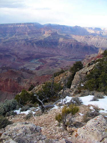
Looking northeast from a rock outcropping below Lipan Point. The Tanner Trail starts at Lipan Point and follows the drainage visible below (mid-ground right) to Tanner Rapids.
2.
|
 |
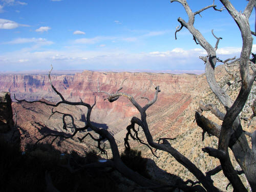
View east from below Lipan Point. Desert View Tower is visible on the horizon.
3.
|
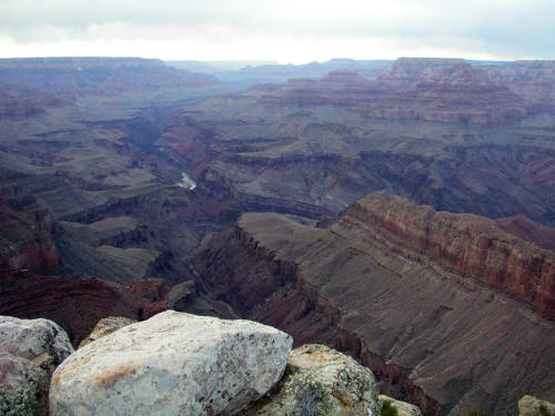 |
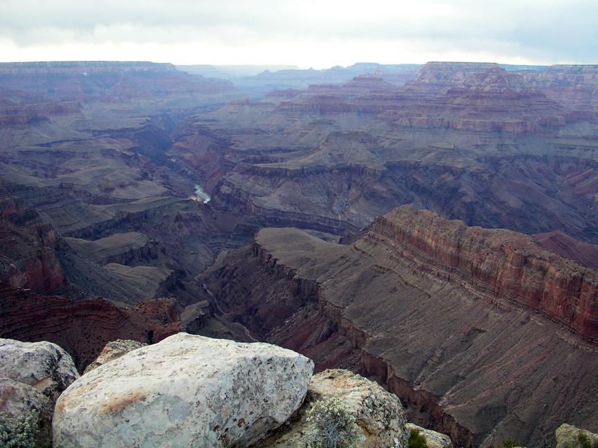
Looking west to the Colorado River from just below Lipan Point. Lipan Point would have been the location of Grand Canyon Village but water was not found.
4.
|
 |
Another view northeast from below Lipan Point to an "S" curve in the Colorado River.
5.
|