 |
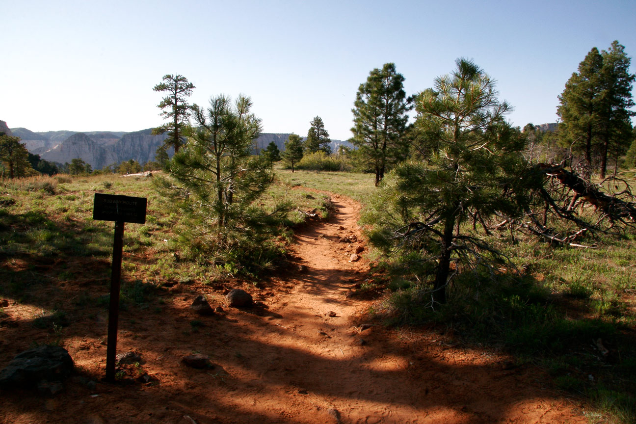
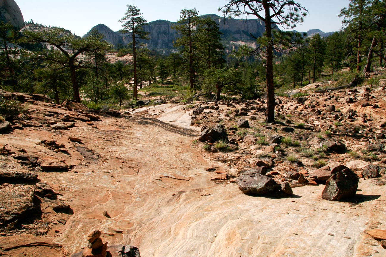
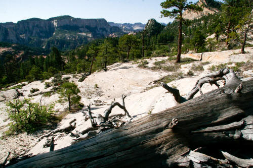
Looking southeast from the Wildcat Canyon trailhead for the top down Subway route.
From this point it is slightly over three miles to the down climb into
the canyon created by the Left Fork of North Creek.
1
|
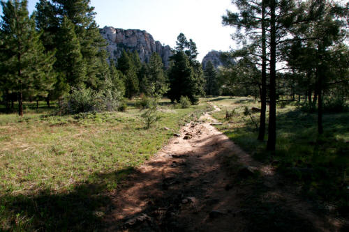 |
View is northeast very near the trailhead. The route initially
traverses through a flat forested mesa top of ponderosa pine known as
Pine Valley.
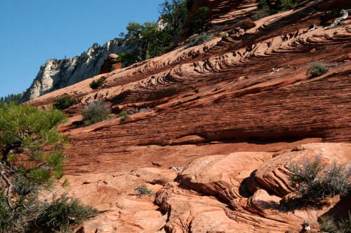
2
|
 |
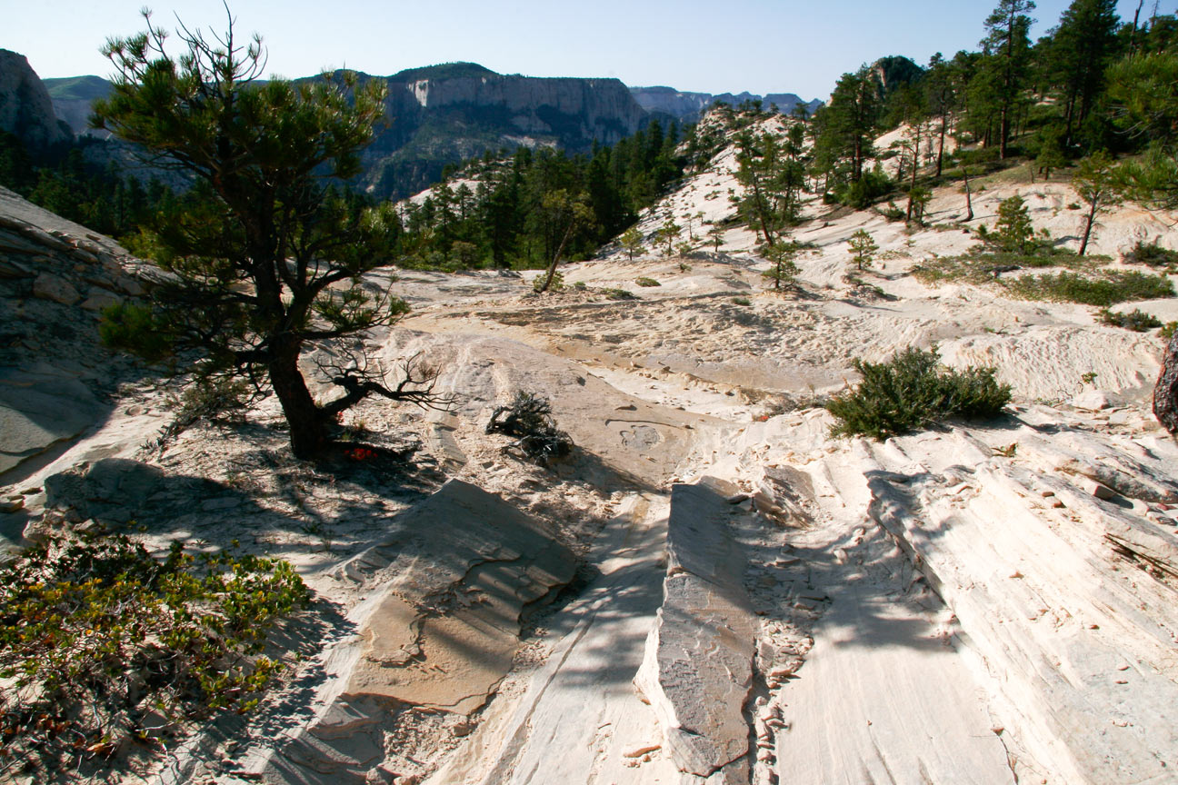
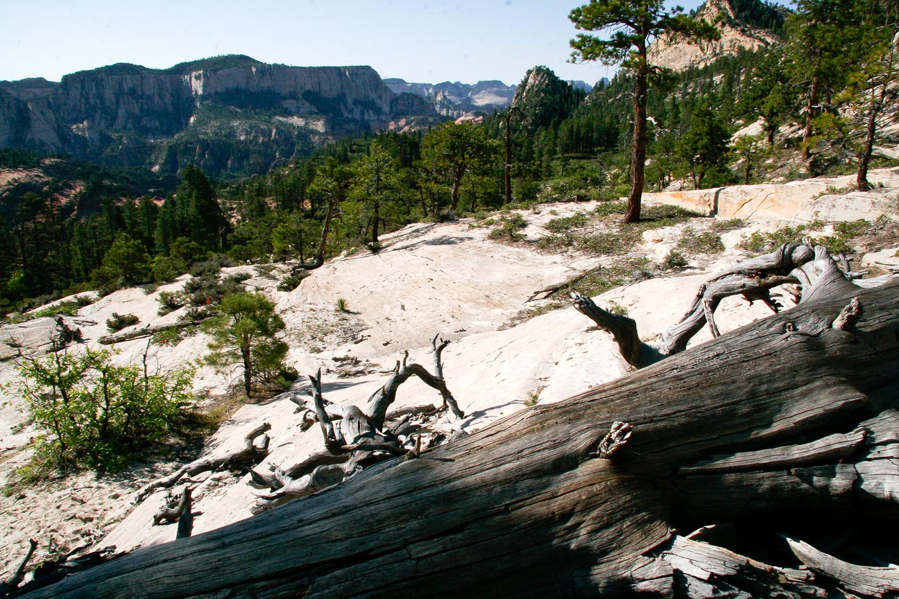
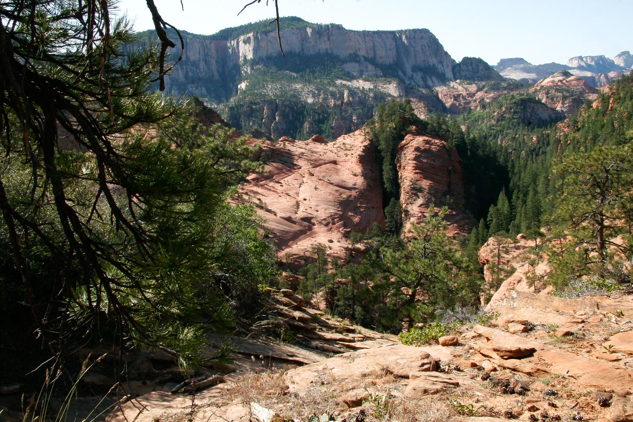
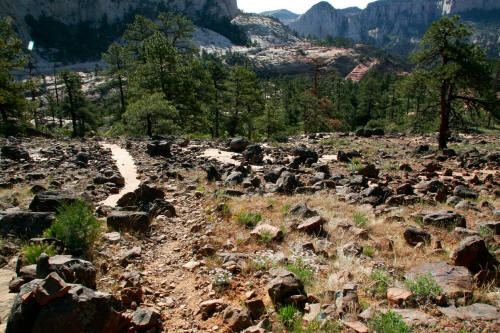
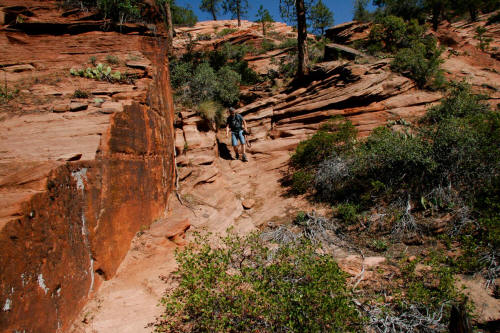
View is south southeast at the point the trail breaks out of the
forested area onto an exposed sandstone bench. This is the
beginning of the Subway route. It is about one mile from the
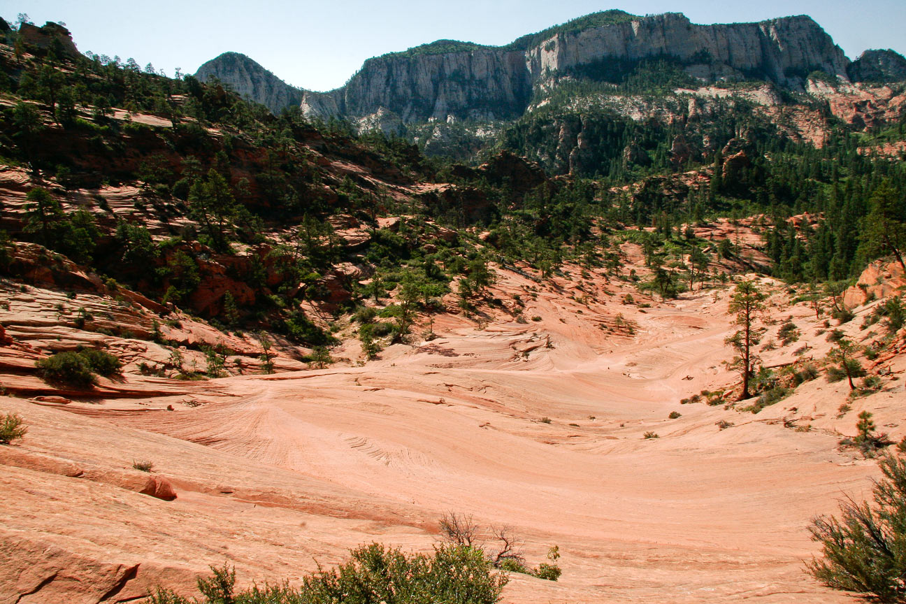
trailhead to this point as it descends to Russell Gulch.
3
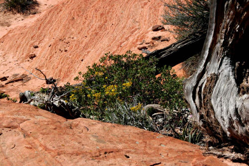
|
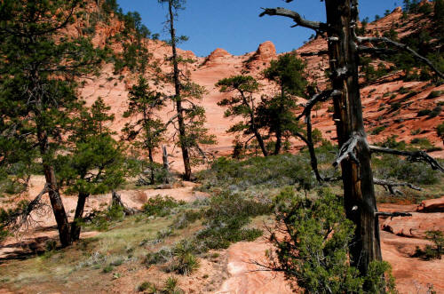
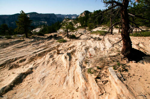 |
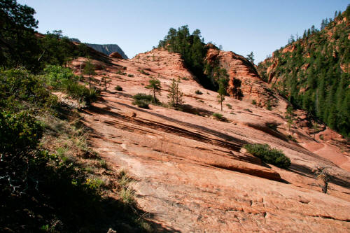
View south southeast on the exposed Navajo sandstone. The trail
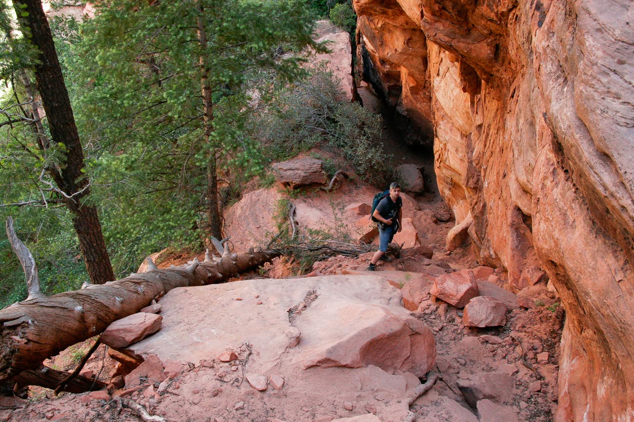
from this point descends constantly for the next mile plus.
4
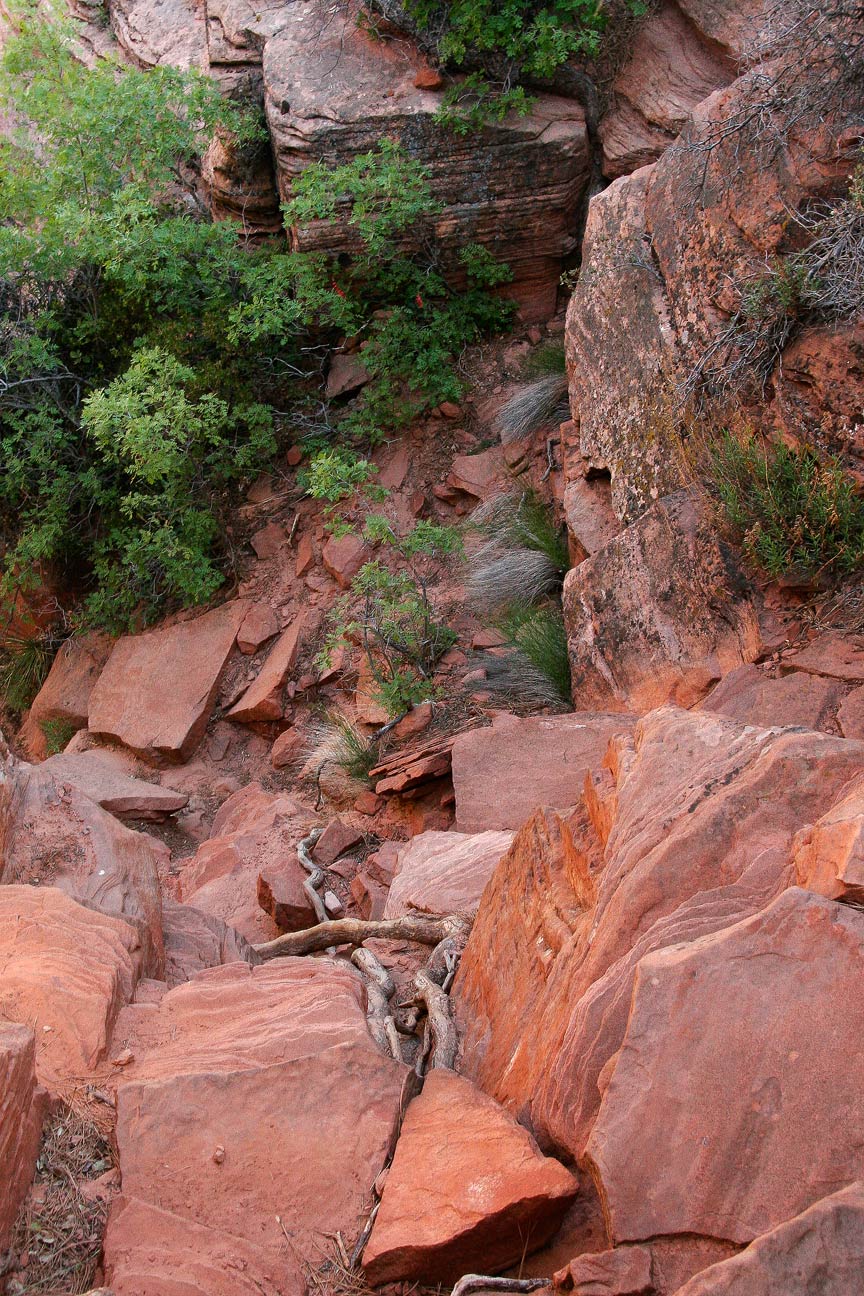
|
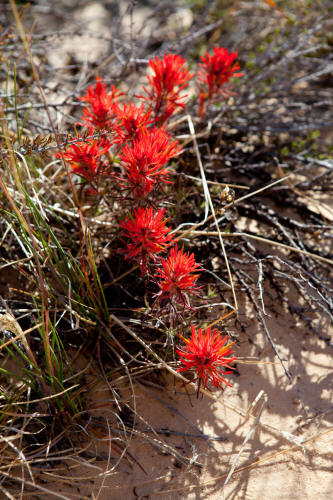 |
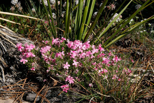
Indian paintbrush. This trip was taken in May and there
were quite a few wildflowers.
5
|
 |
Continuing south southeast and descending the very white Navajo
sandstone.
6
|
 |
We were off trail at this point but quickly regained after
bushwhacking a bit. There are a good number of cairns and the route
is fairly easy to follow but there are spots that are not obvious.
7
|
 |
More great wildflowers along the route. Not sure what these are but
nice.
8
|
 |
The trail starts to head southeast, constantly descending and still on the
white Navajo sandstone.
9
|
 |
At this point in the route the white Navajo sandstone is transitioning to
a reddish brown color filled with iron oxide. Still constantly
dropping like a rock.
10
|
 |
Continuing down generally south southeast
to Russell Gulch. A very dramatic trail.
11
|
 |
Continuing down steeply. The rock has transitioned from the
very white sandstone near the top to this more red-brown near midpoint.
Russell Gulch is just below this location.
12
|
 |
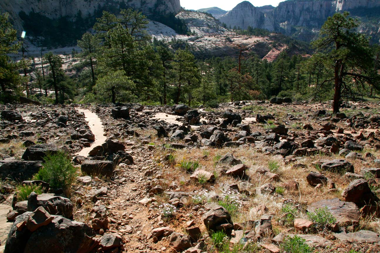
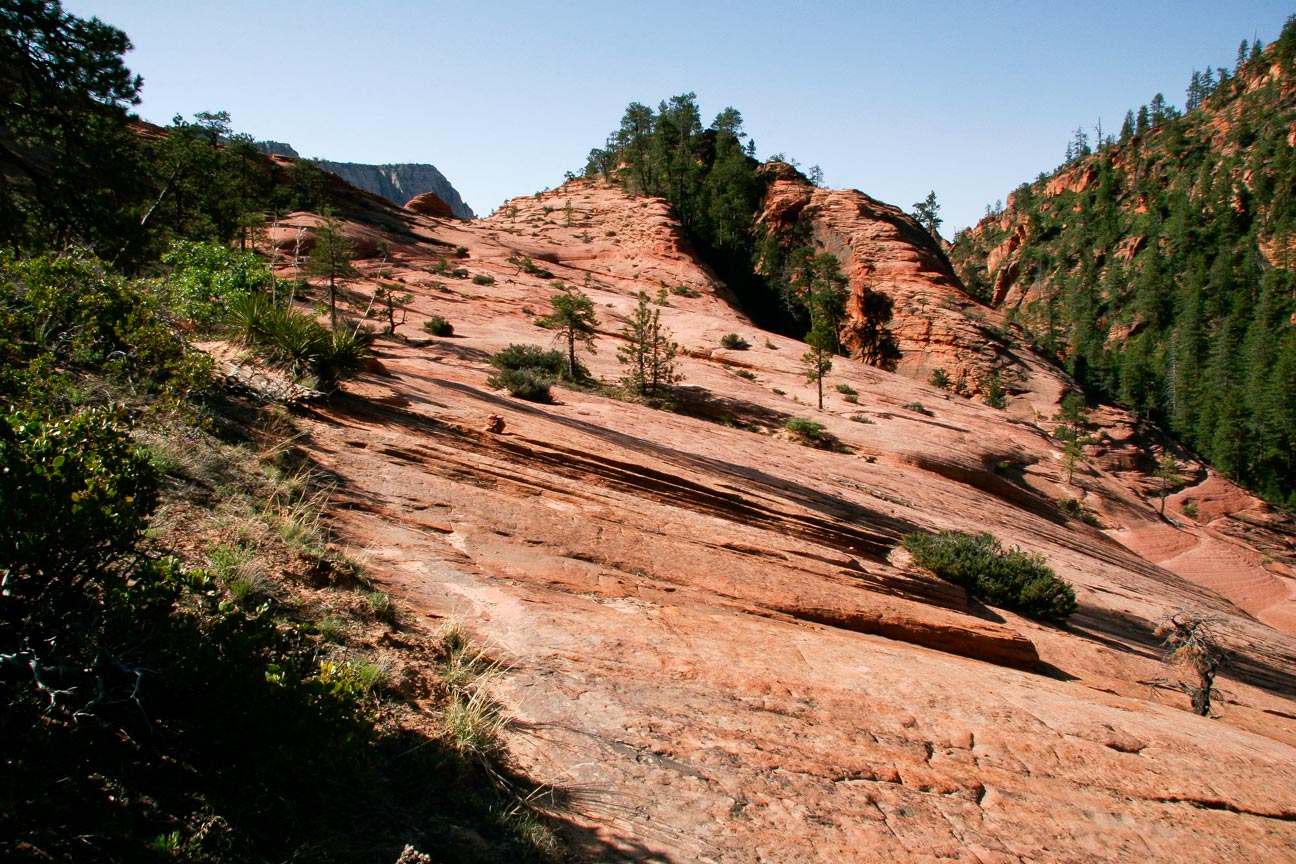
This portion of the trail climbs
approximately two hundred feet out of Russell Gulch to a saddle and
then drops into a large sandstone bowl. Still traveling south
southeast.
13
|
 |
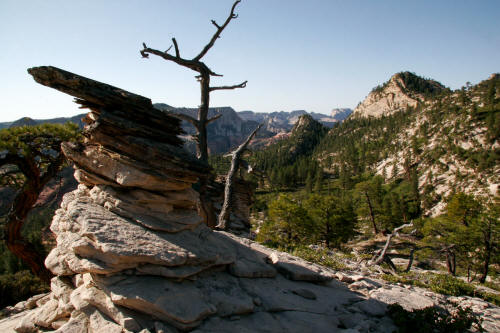
View to the saddle that tops out at the sandstone knob
in the center-top of this image. The saddle is a little over
two-thirds of the way to the down climb point into the Left Fork of North Creek.
14
|
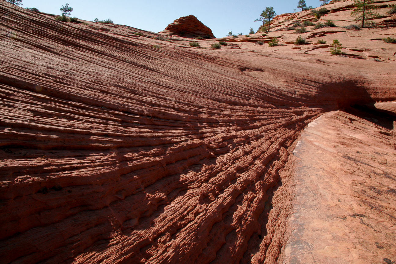
 |
Very strong layering in the sandstone. Image from just below the
saddle.
15
|
 |
View of the large sandstone bowl southeast of the saddle. Still
almost another mile from this location to the down climb point into the
Left Fork of North Creek.
16
|
 |
View back north northwest to the saddle after crossing the sandstone
bowl.
17
|
 |
More color from a wide variety of wildflowers. Do not know this
plant.
18
|
 |
The trail climbs and descends several times through a variety of ponderosa
pine and stunted oak trees as it traverses the high bench above the Left
Fork of North
Creek.
19
|
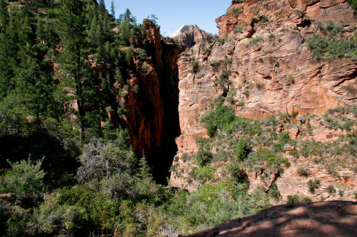 |
This view is of the narrow gorge of the Left Fork of North Creek. The drop-in
point is very near.
20
|
 |
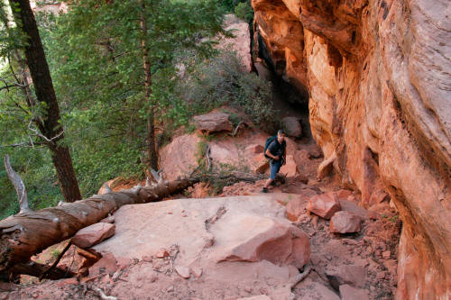
The trail down climbs to the Left Fork of North Creek via a normally dry pour-off from the
forested bench above. The route is very steep but there are a
lot of hand holds all the way down and it's really not difficult if you
are careful.
21
|
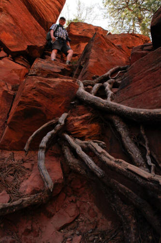 |
The scale figure provides a good sense of the steepness. As you can
see there are a lot of roots that can be used to down climb.
22
|
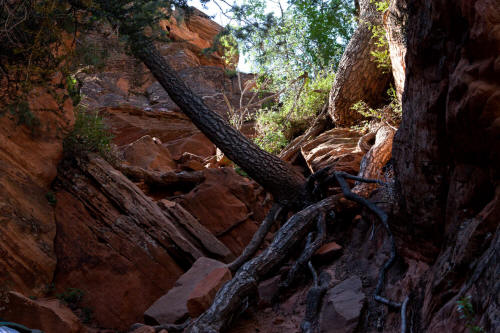 |
This is probably the most ragged part of the down climb.
23
|
 |
From this point the remaining down climb to the Left Fork of North Creek is easy.
24
|
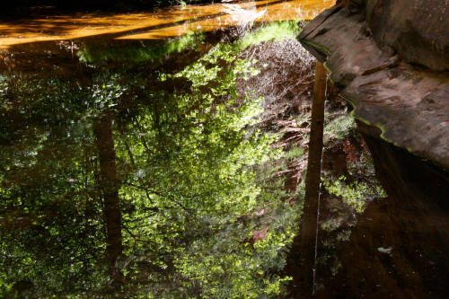 |
The trail drops out of the down climb to a large pool of water formed by
the pour-off from a side channel. We took a break, downed a
Builder Bar, took boots off and put water shoes on. The pool of
water on this day was waist deep. This is a great approach hike.
25
|