 |
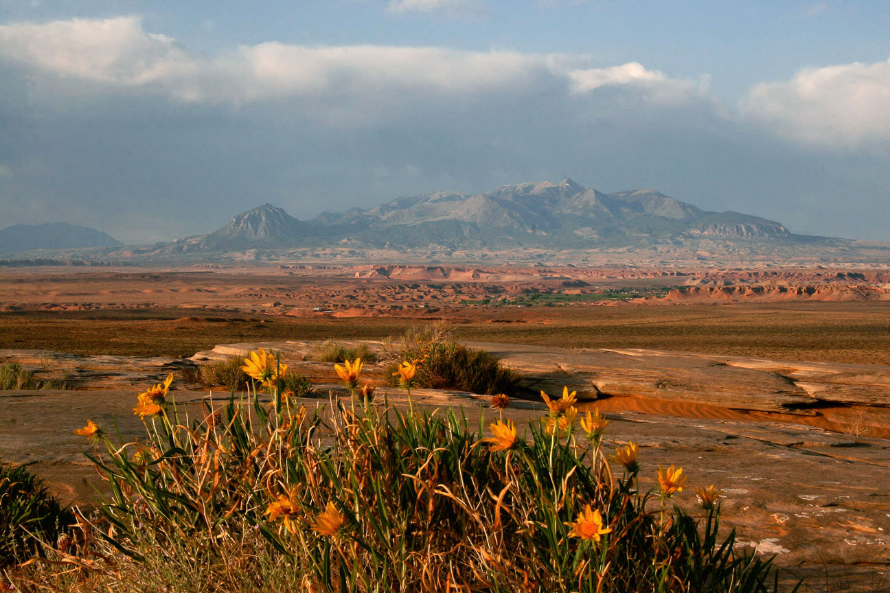
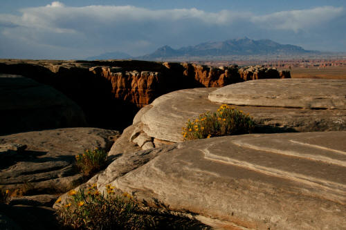
Looking southwest from sandstone cap rock in The Notch area north of
Hanksville, Utah to the Henry Mountains.
1
|
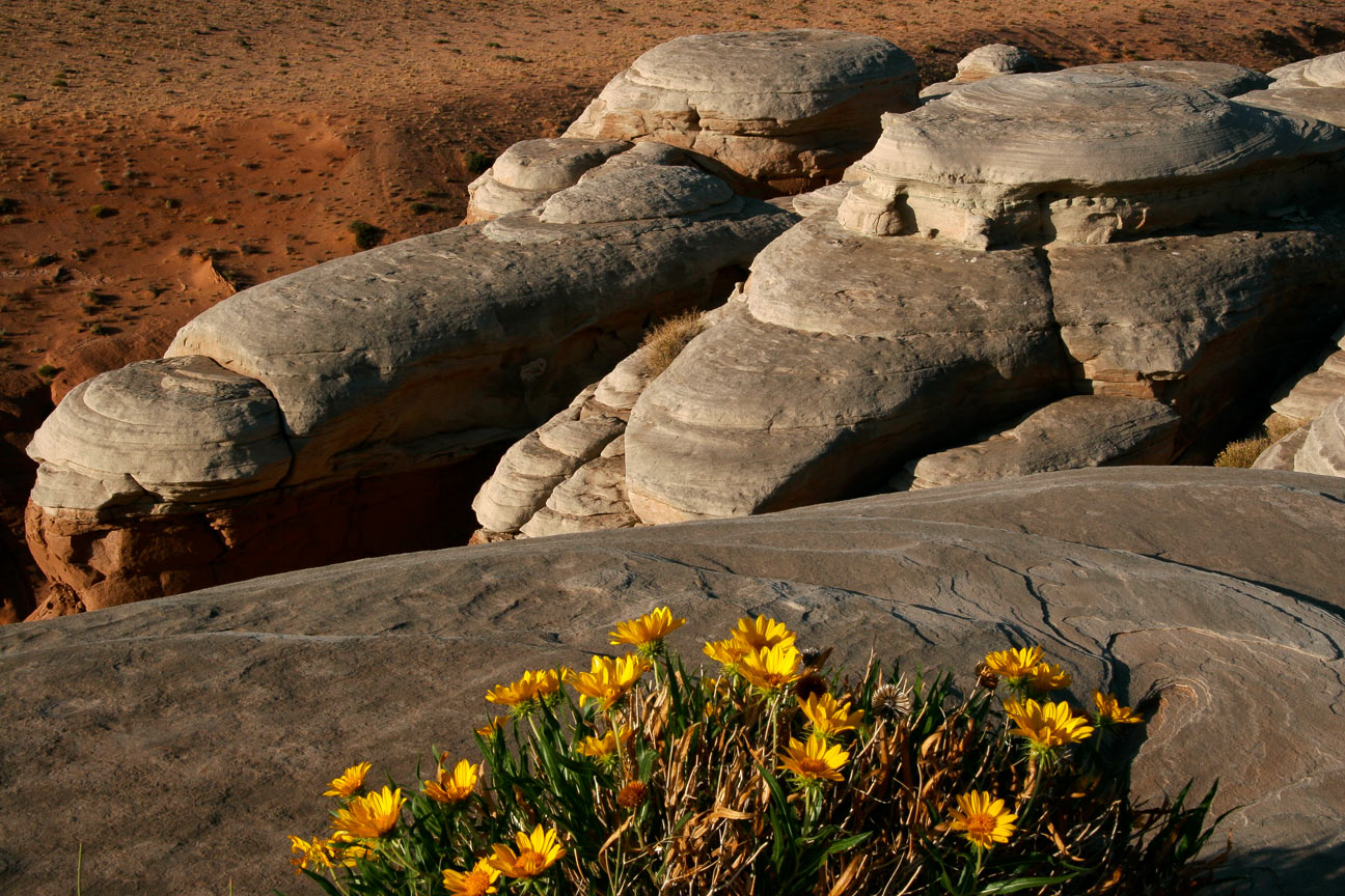
 |
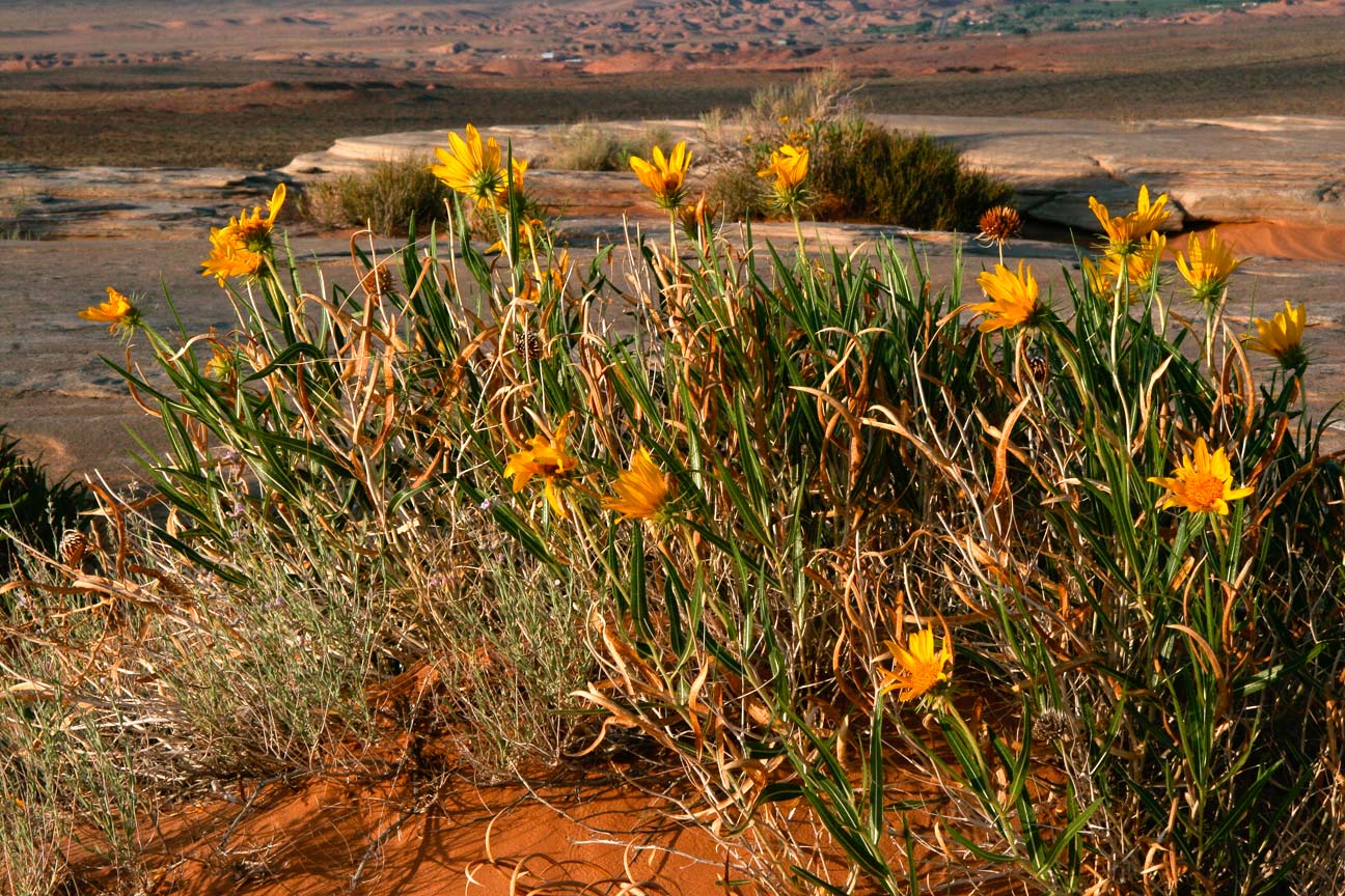
Close up of Mules Ears growing in the cracks between cap rock in
The Notch area north of Hanksville, Utah.
2
|
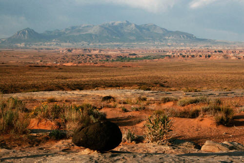 |
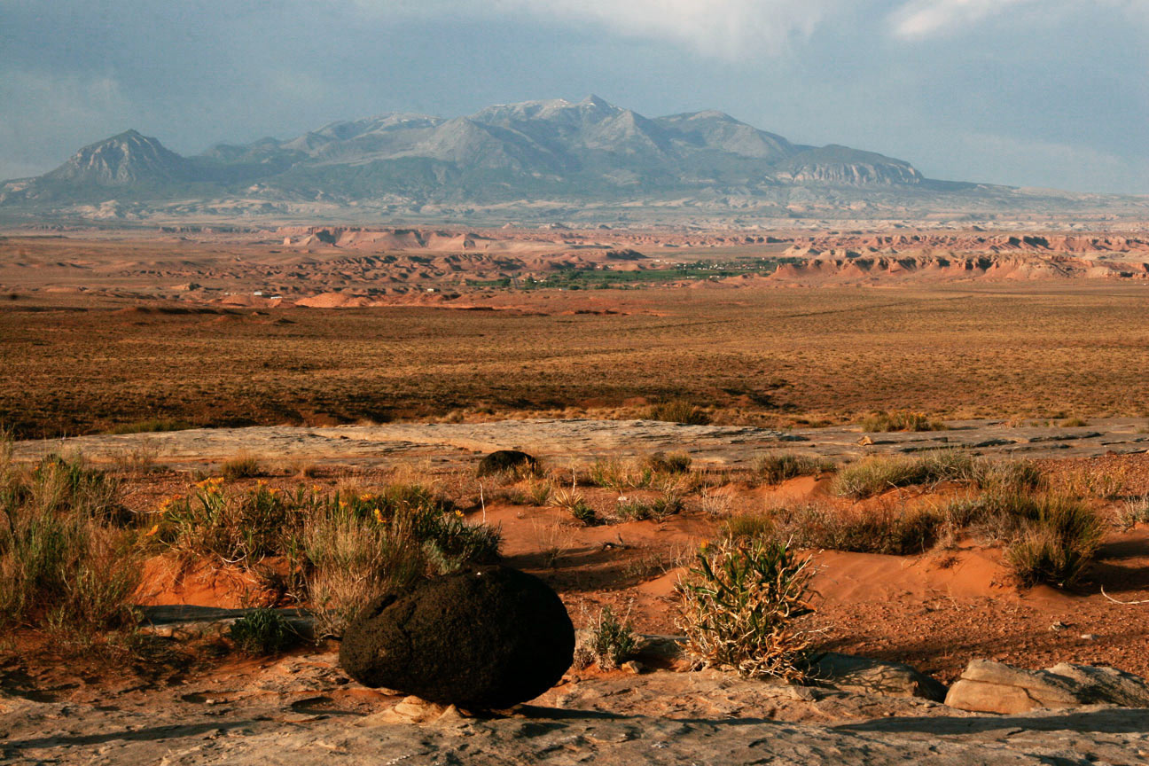
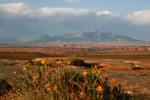
View southwest to the Henry Mountains from cap rock in The Notch.
The black rock is a basalt erratic from a volcano on Boulder Mountain.
3
|
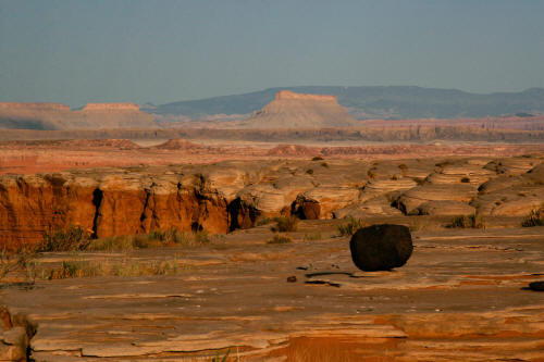 |
View west to Factory Butte from sandstone cap rock with basalt erratic.
4
|
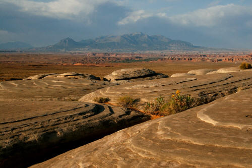 |
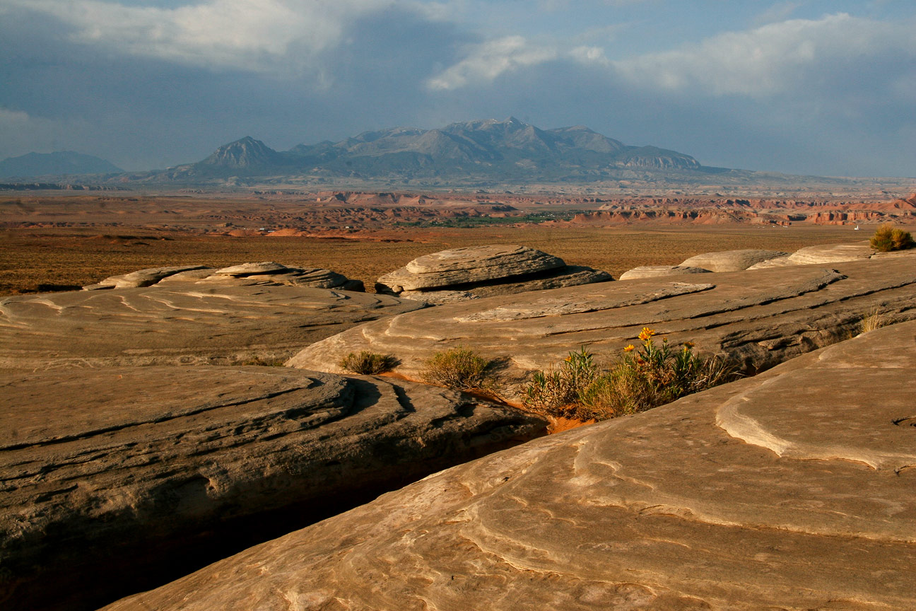
View southwest from sandstone cap rock to the Henry Mountains.
5
|
 |
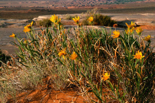
View west from sandstone cap rock and Mules Ears to the San Rafael
Reef on the horizon.
6
|
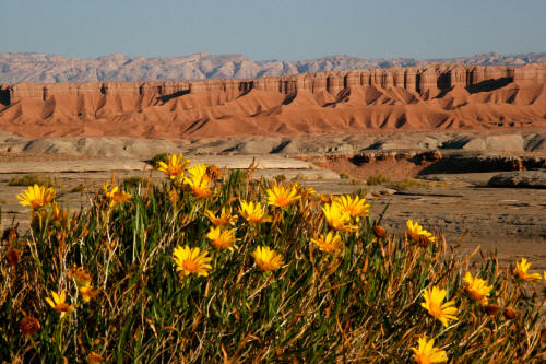 |
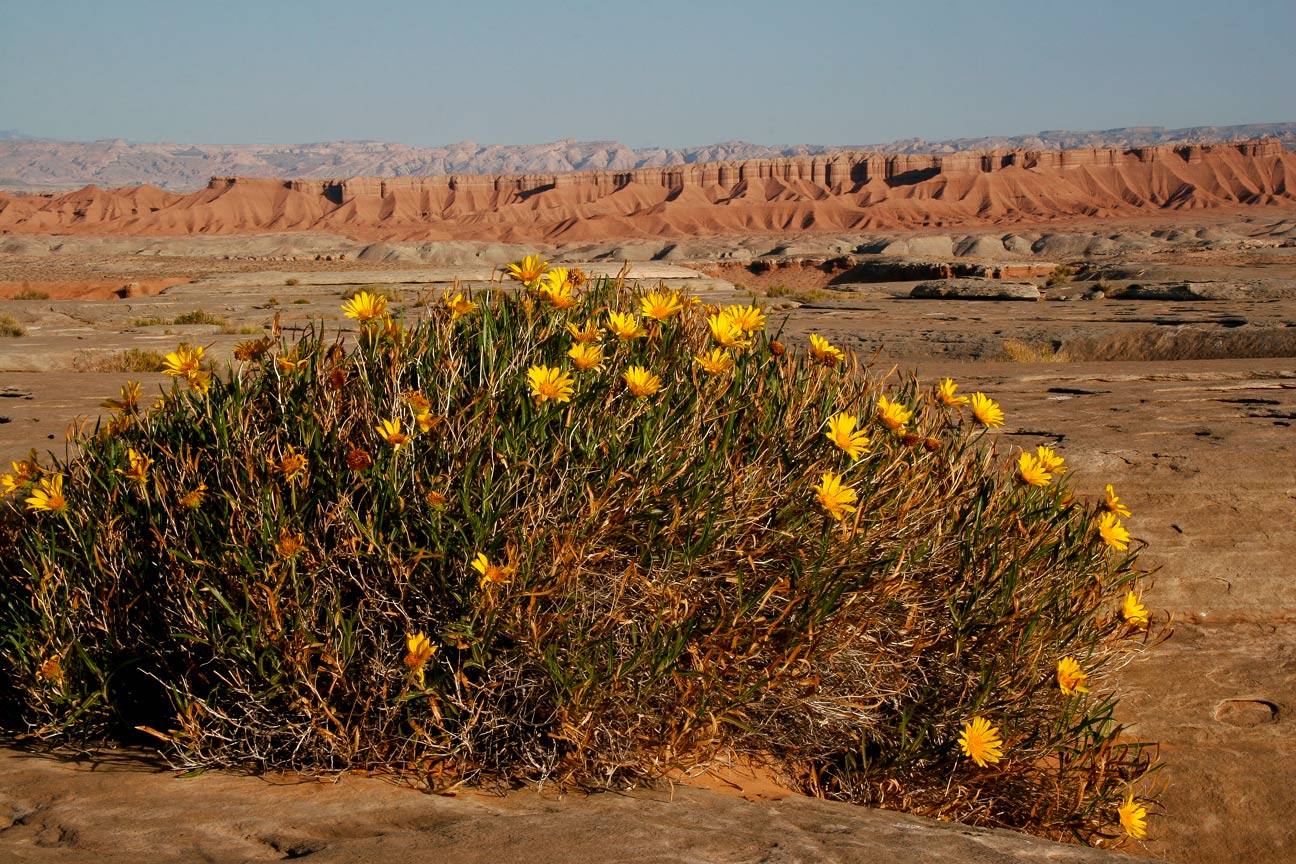
View west with Mules Ears to the San Rafael Reef on the horizon.
Reddish Sandstone, siltstone and shale formation in midground.
7
|
 |
Sandstone cap rock and mules ears from on top of The Notch.
8
|
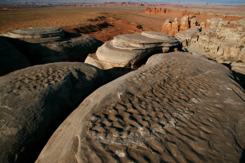 |
View southwest from on top of The Notch toward Highway 24. The
rippled sandy bottom of a shallow sea can be seen frozen in the cap rock.
9
|
 |
View southwest from on top of The Notch toward the Henry Mountains.
10
|