|
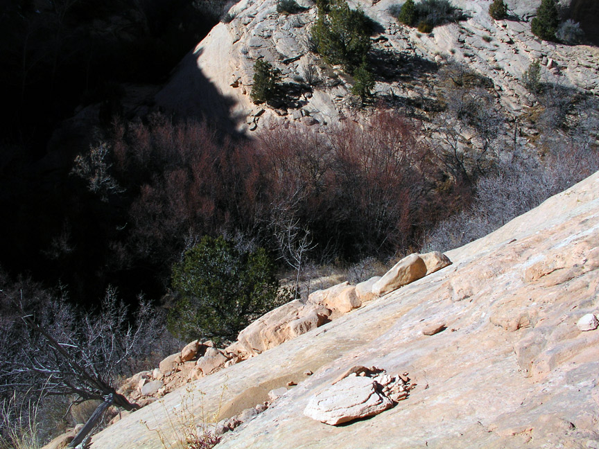
This is a route down to calf creek. The downclimb requires edging out to the right of this image on the 3" wide visible narrow ledge and dropping onto the probably 18" wide rocks below. The wider rocks stair step down to the base of the drainage. This is not going to happen with a camera and tripod.
1.
|
 |
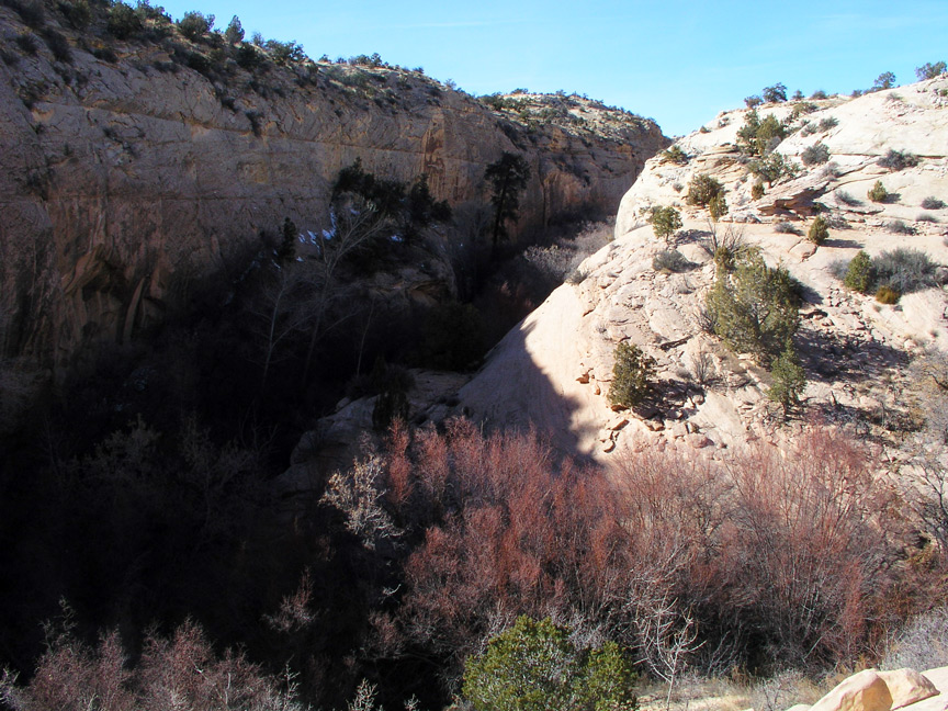
This is an image from the same location as the previous image looking
north into Calf Creek Gorge taken around 1:30 PM. This canyon is very narrow and deep and there will be no light for photography other than at or near noon.
2.
|
 |
This view is taken 180 degrees from the previous image after bushwacking around a drainage to look back in the general direction of the our previous position.
The alcove is quite large and we could not see it's end. Almost a cave.
3.
|
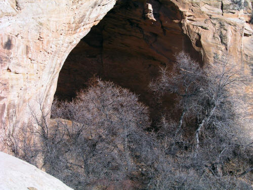 |
Zoomed view of alcove. We did not find any easy way down from this position either.
4.
|
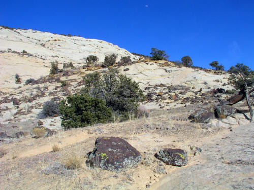 |
This is the view on the way back out of this drainage. Downclimbing into the Upper Calf Creek Falls area turned out to be a pretty good adventure. Some wild
looking rocks in this area. We could hear the falls but did not see the falls. After talking to a guide and reviewing other information we discovered
that the actual trailhead to the upper falls is about a quarter-mile farther north on Highway 12. I also think this is possibly good habitat for large cats - so be careful.
5.
|