 |
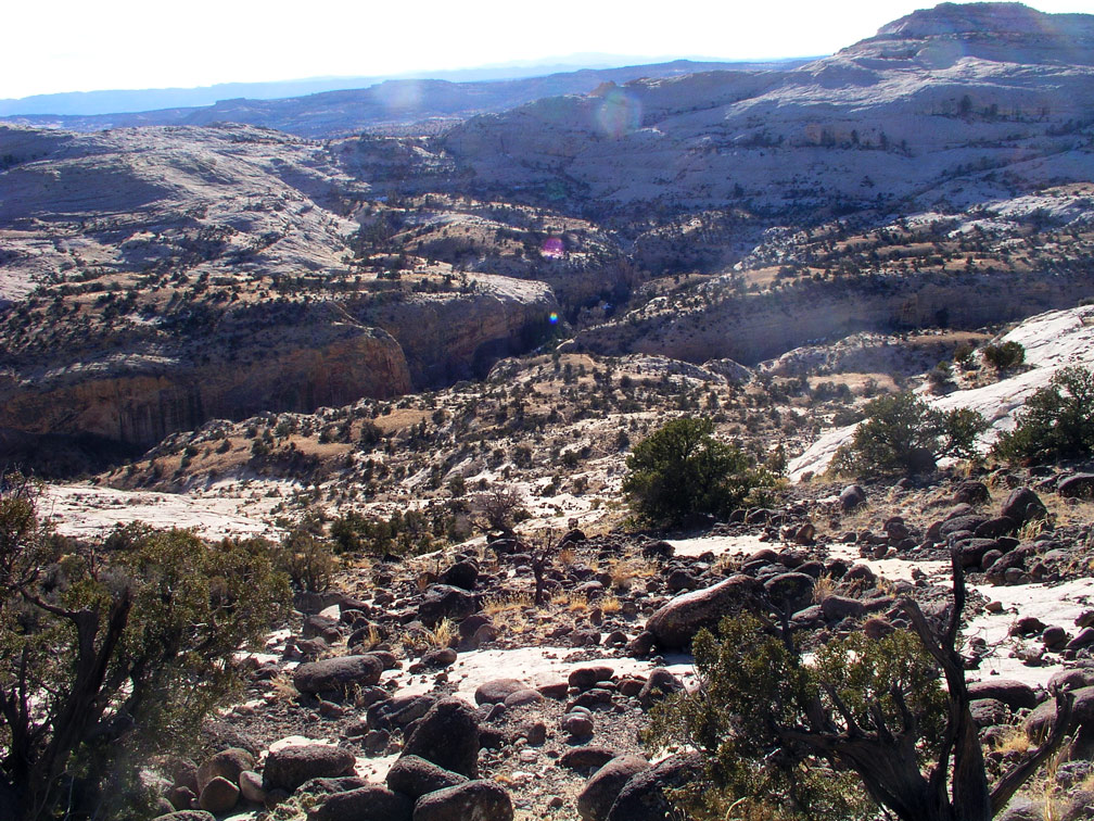
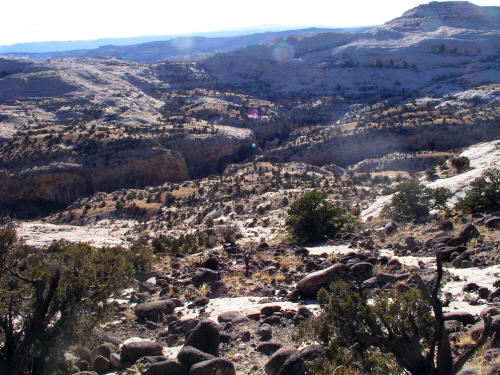
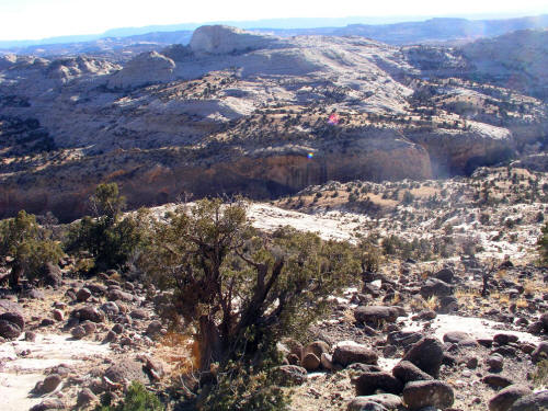
This is the view into Calf Creek Canyon from a trailhead at the edge of the Calf Creek drainage near Escalante, UT. The downclimb or hike is 600 feet plus or minus.
The high point to the right in this image at the horizon is McGath Point. These images exhibit terrible light but do give some sense for the terrain.
1.
|
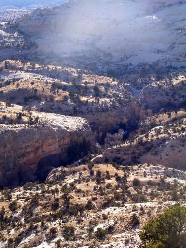 |
A zoomed view to the access point to the head of the falls. We were rimmed out dead center in this image at the drainage.
2.
|
 |
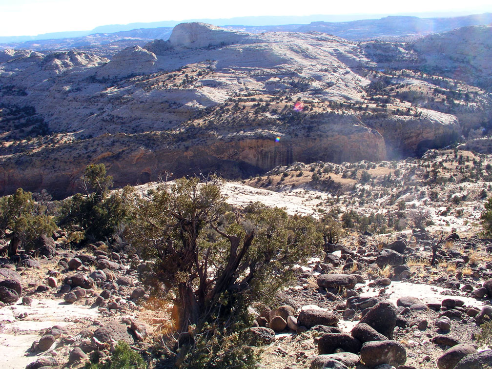
This is a view downstream from the above trailhead. The correct trailhead is farther north on Hwy 12 and has a sign and register. This hike out spot does not have a sign or register but does have an obvious parking area.
3.
|