 |
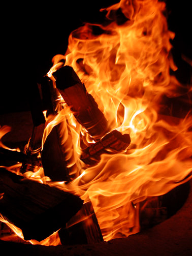
Campfire in Private campground near Zion National Park.
1
|
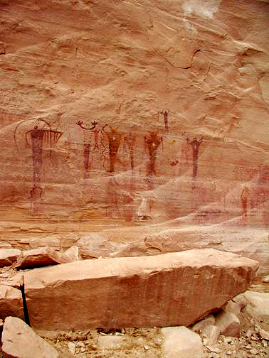 |
Rock Paintings or Pictographs in Buckhorn Wash of the San Rafael Swell. (Utah)
2
|
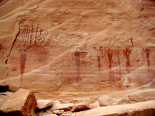 |
Rock Paintings or Pictographs in Buckhorn Wash of the San Rafael Swell. (Utah)
3
|
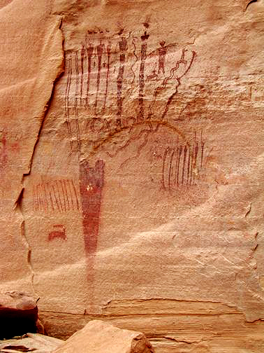 |
Close up of Rock Paintings or Pictographs in Buckhorn Wash of the San Rafael Swell. (Utah)
4
|
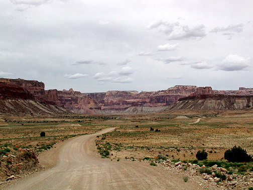 |
The view north from the Buckhorn Wash road near I-70.
5
|
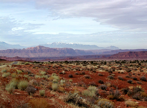 |
View along Highway 95 approaching Hite, Utah. Henry Mountains on the Horizon.
6
|
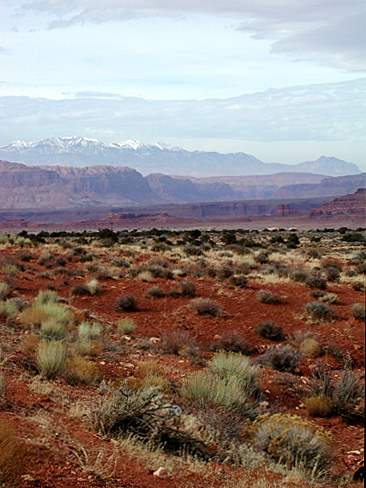 |
View along Highway 95 approaching Hite, Utah. Henry Mountains on the Horizon.
7
|
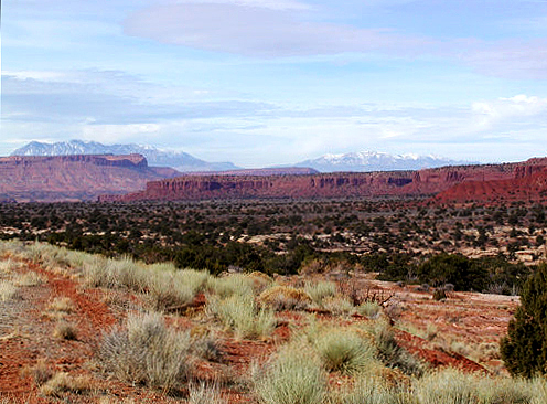 |
View along Highway 95 approaching Hite, Utah. Henry Mountains on the Horizon.
8
|
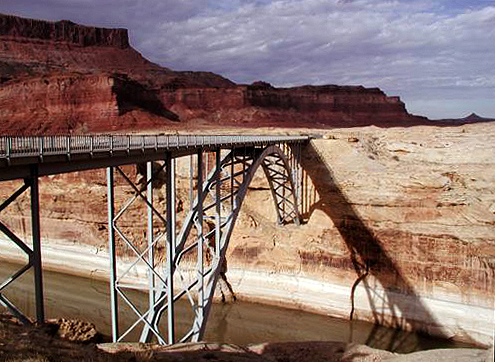 |
Hwy. 95 Bridge over the Dirty Devil River at Hite, Utah.
9
|
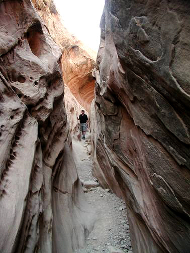 |
Little Wild Horse Canyon in the San Rafael Swell near Hanksville, UT.
10
|
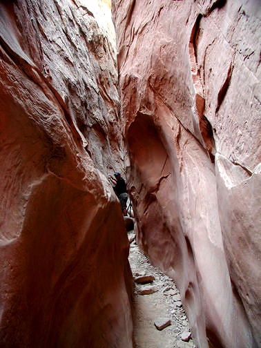 |
Little Wild Horse Canyon in the San Rafael Swell near Hanksville, UT.
11
|
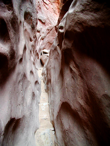 |
Little Wild Horse Canyon in the San Rafael Swell near Hanksville, UT.
12
|
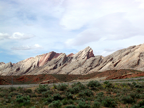 |
Looking southwest from near I-70 to the east face of the San Rafael Reef in the San Rafael Swell. (Utah)
13
|
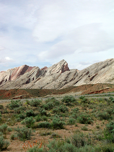 |
Looking southwest from near I-70 to the east face of the San Rafael Reef in the San Rafael Swell. (Utah)
14
|
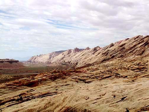 |
Looking south from Black Dragon Canyon at the 1000 foot high east face of the San Rafael Reef in the San Rafael Swell. (Utah)
15
|
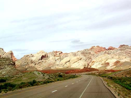 |
1000 foot high east face of the San Rafael Reef from Interstate 70 in the San Rafael Swell. (Utah)
16
|