 |
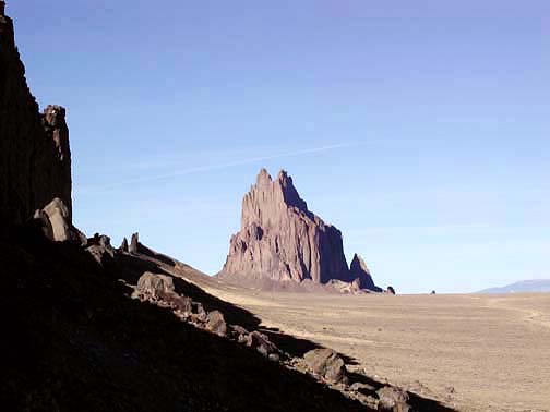
Shiprock near Shiprock, NM.
1
|
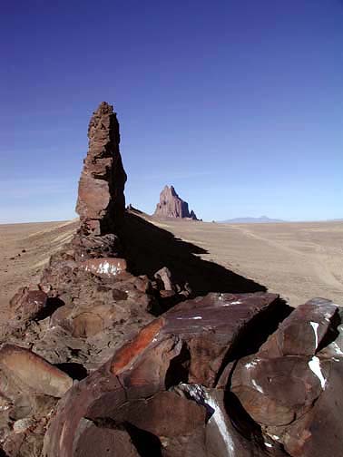 |
View of Shiprock and Lava fin near Shiprock, NM.
2
|
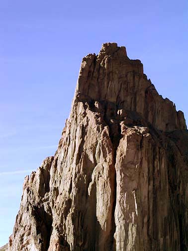 |
Zoomed view of Shiprock near Shiprock, NM.
3
|
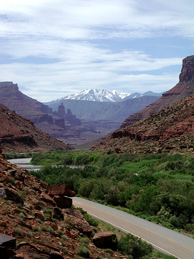 |
Highway 128 along the Colorado River near Moab, UT. Fisher Towers in the distant mid-ground and the Manta La Sal Mountains on the horizon.
4
|
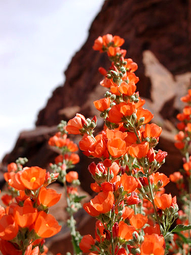 |
Wildflowers (Globe Mallow) growing along Highway 128 in Utah.
5
|
 |
Black lizard at Crystal Peak near Baker, NV.
6
|
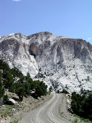 |
Crystal Peak near Baker, NV.
7
|
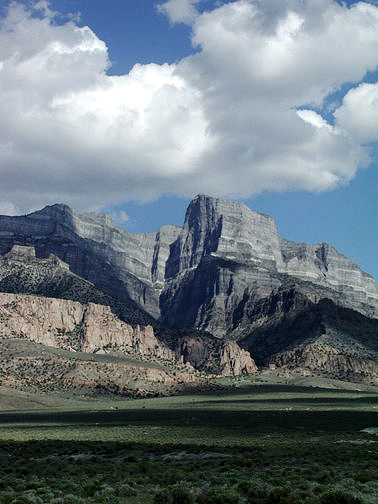 |
Notch Peak as seen from Tule Valley near Delta, UT.
8
|
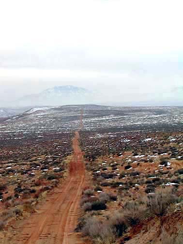 |
Access road to the west side of the Angel Trail in the Burr Desert near Hanksville, UT. Henry Mountains on the horizon.
9
|
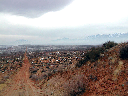 |
Access road to the west side of the Angel Trail in the Burr Desert near Hanksville, UT. Henry Mountains on the horizon.
10
|
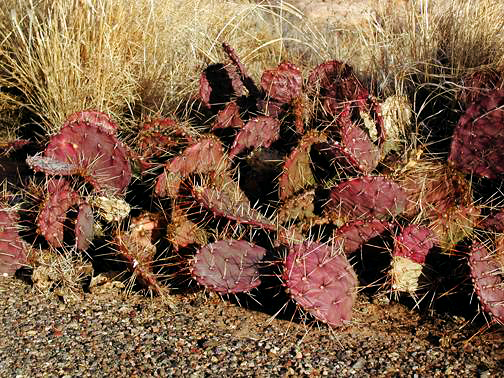 |
Hedge hog cactus growing along an abandoned section of Highway 191 near Bluff, UT.
11
|
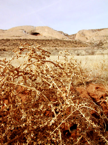 |
Thistle and Fishmouth Cave in Comb Reef on the Lower Butler Wash Road near Bluff, UT.
12
|
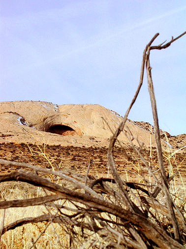 |
Close up of Fishmouth Cave in Comb Reef on the Lower Butler Wash Road near Bluff, UT.
13
|
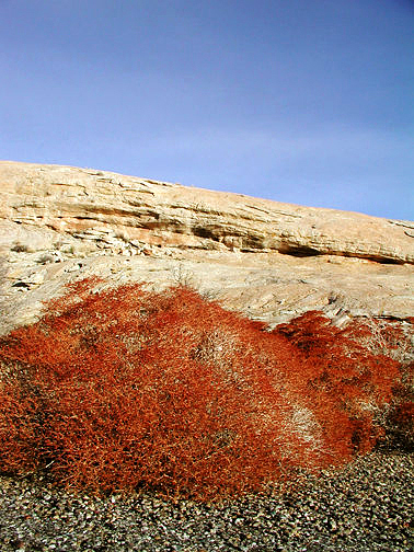 |
Red brush growing along an abandoned section of Highway 191 near Bluff, UT.
14
|
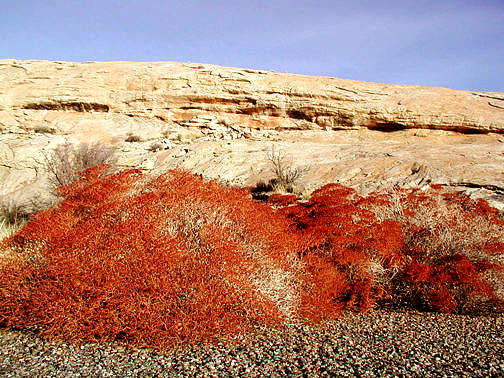 |
Red brush growing along an abandoned section of Highway 191 near Bluff, UT.
15
|