 |
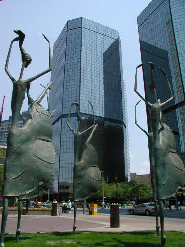
Sculptures near the Sheraton Hotel on the Sixteenth Street Mall in
Downtown Denver.
1
|
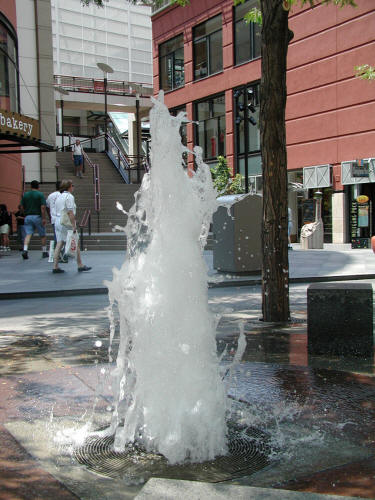 |
Fountain adjacent to The Pavilions shopping complex along the
Sixteenth Street Mall in Downtown Denver.
2
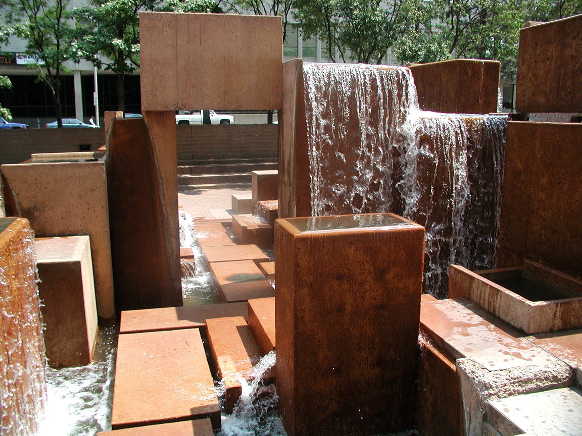
|
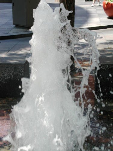 |
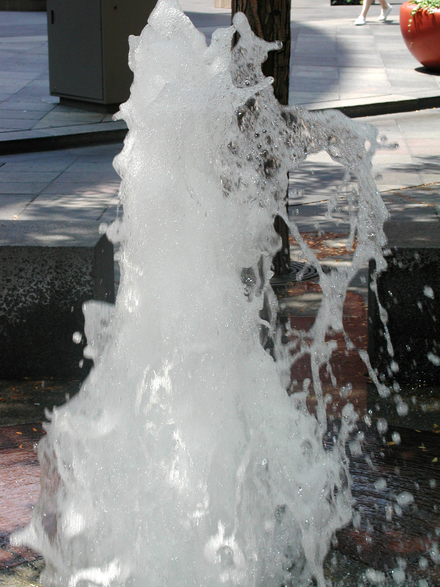
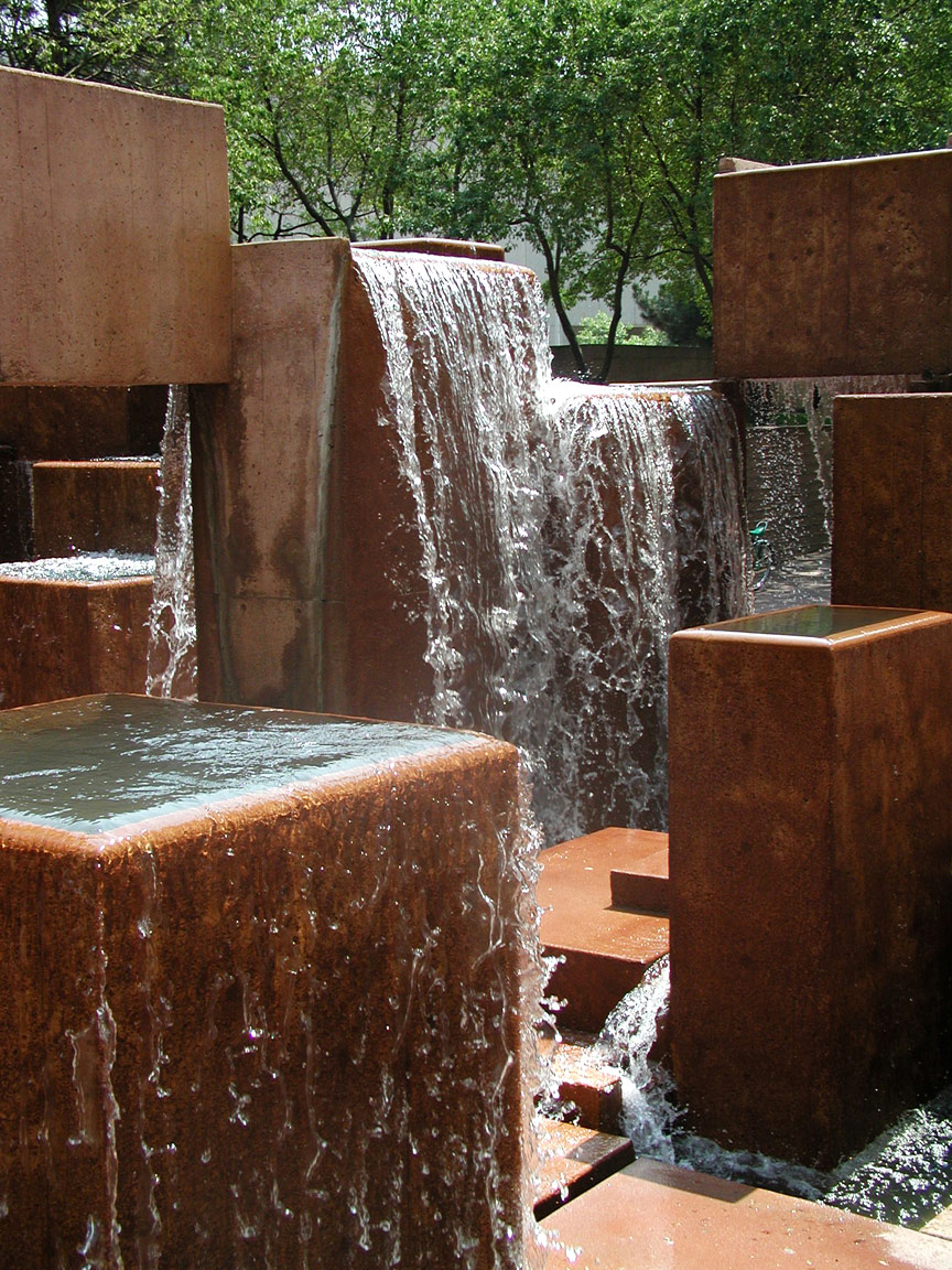
Zoomed view of fountain along the Sixteenth Street Mall in Downtown
Denver.
3
|
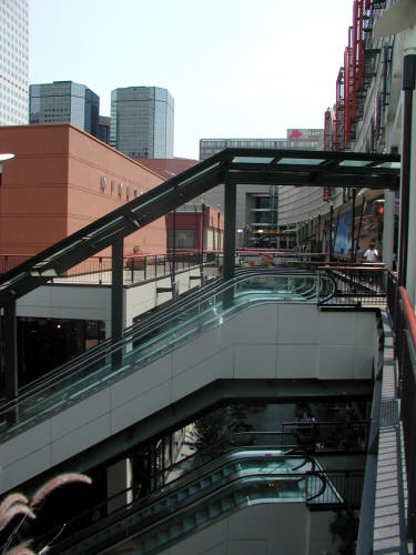 |
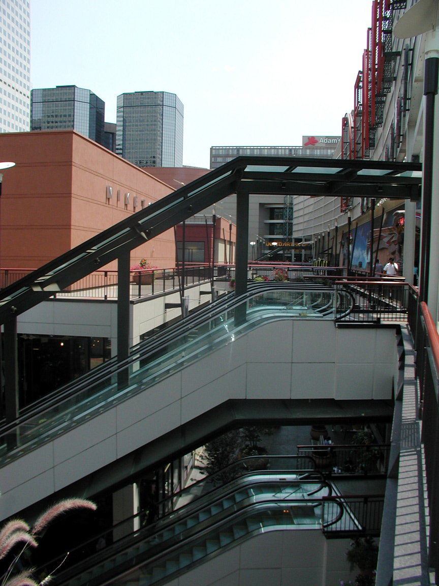
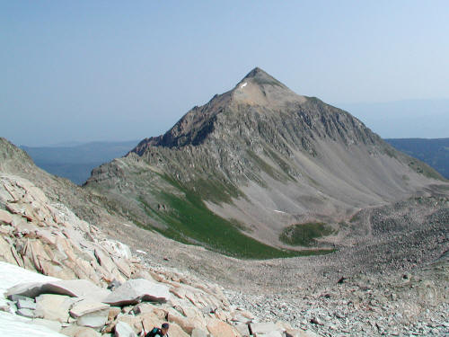
The Pavilions shopping complex on the Sixteenth Street Mall in
Downtown Denver.
4
|
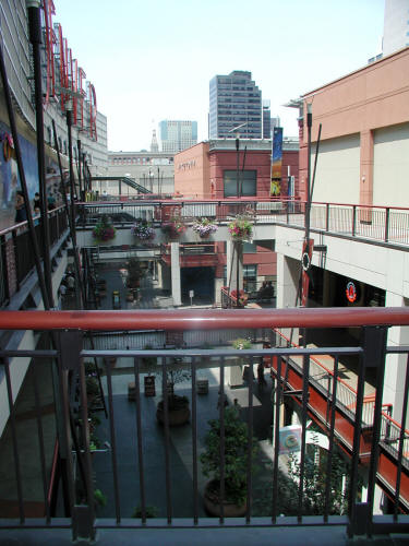 |
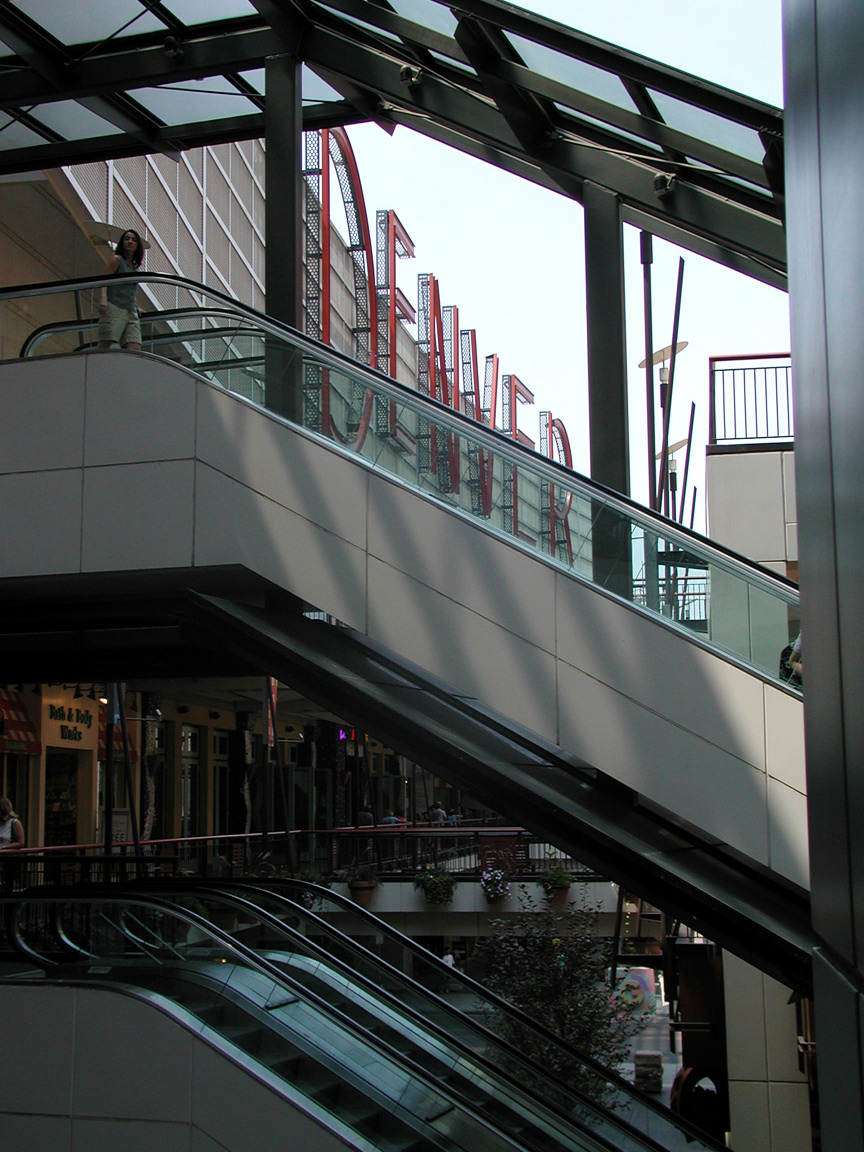
The Pavilions shopping complex on the Sixteenth Street Mall in
Downtown Denver.
5
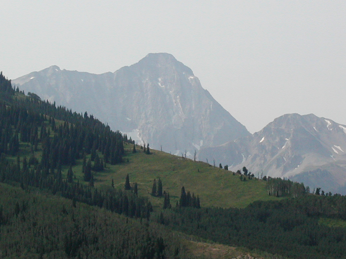
|
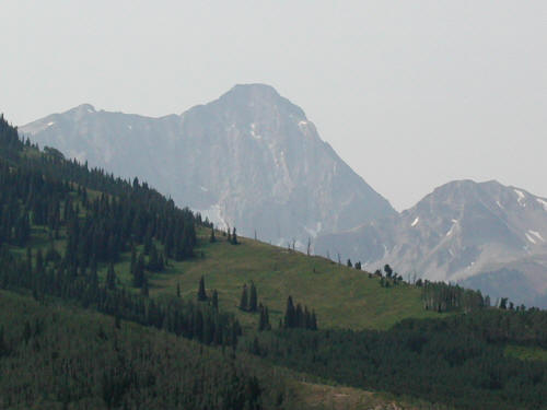
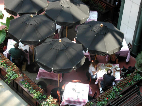 |
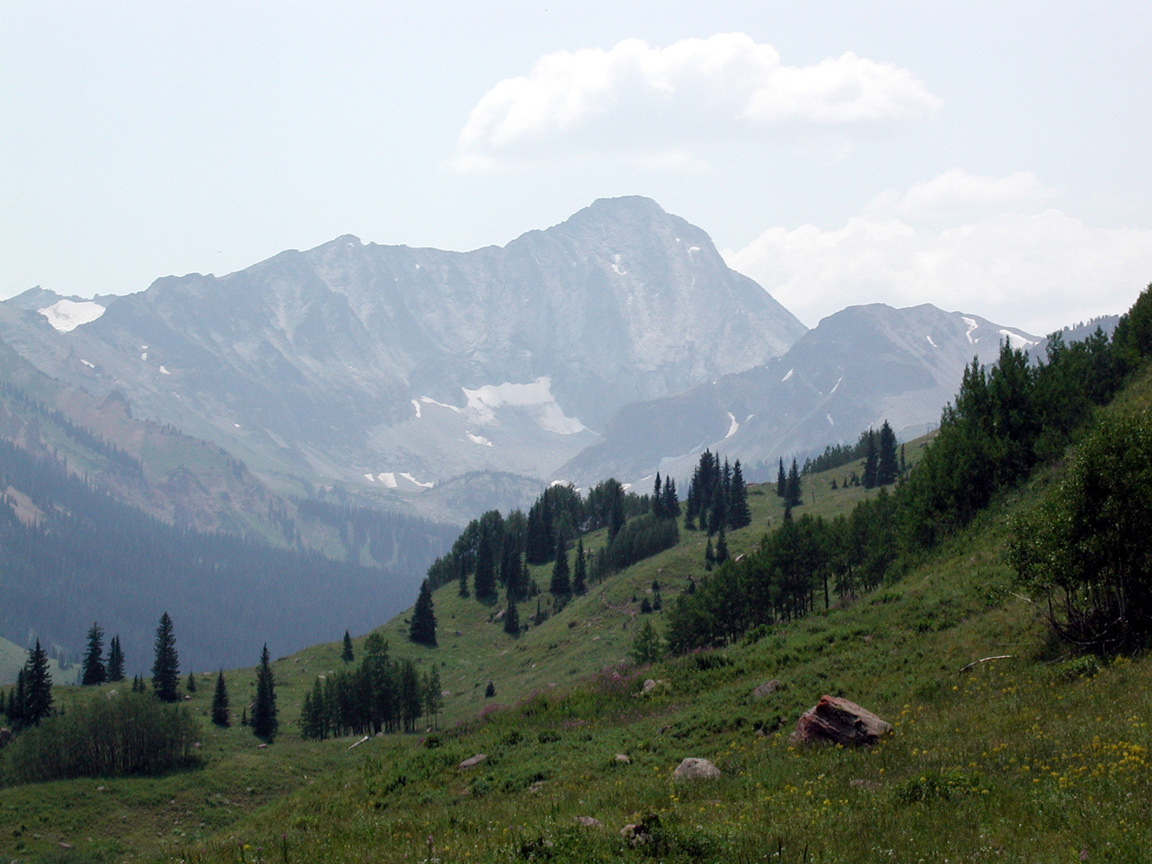
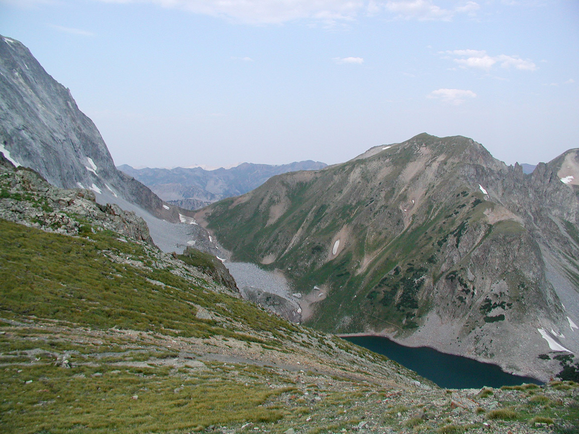
The Pavilions shopping complex on the Sixteenth Street Mall in
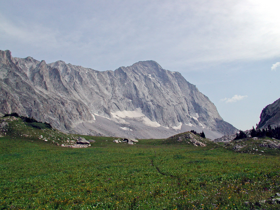
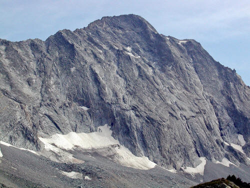
Downtown Denver.
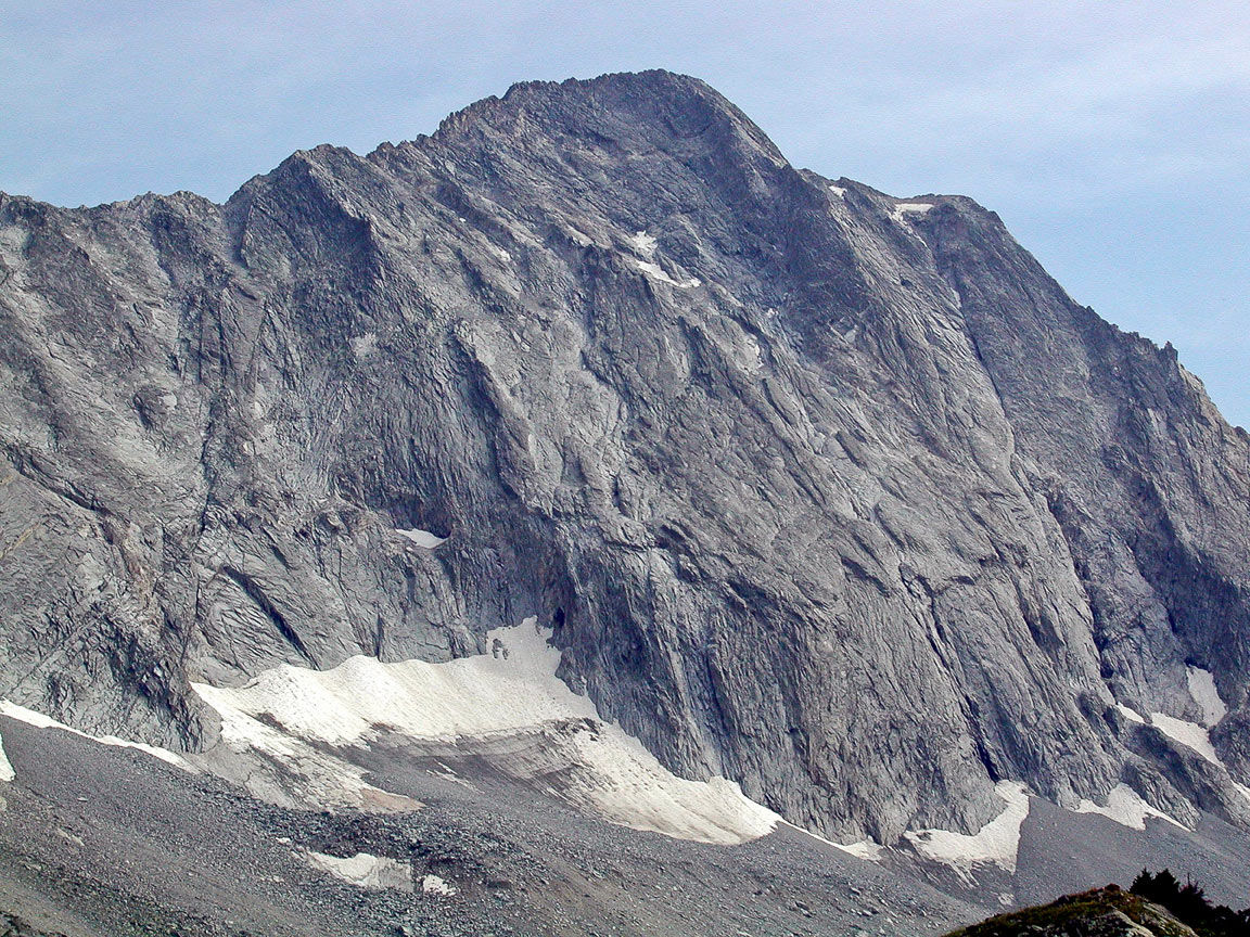
6
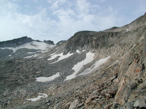
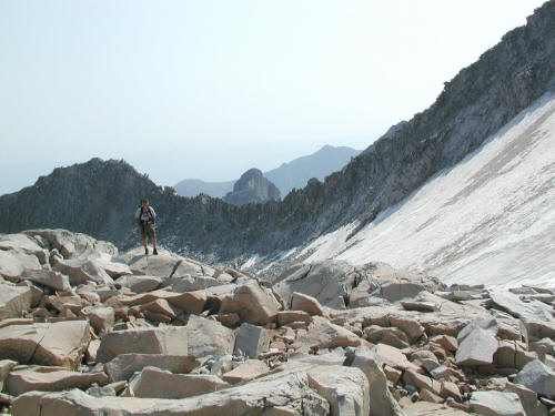
|
 |
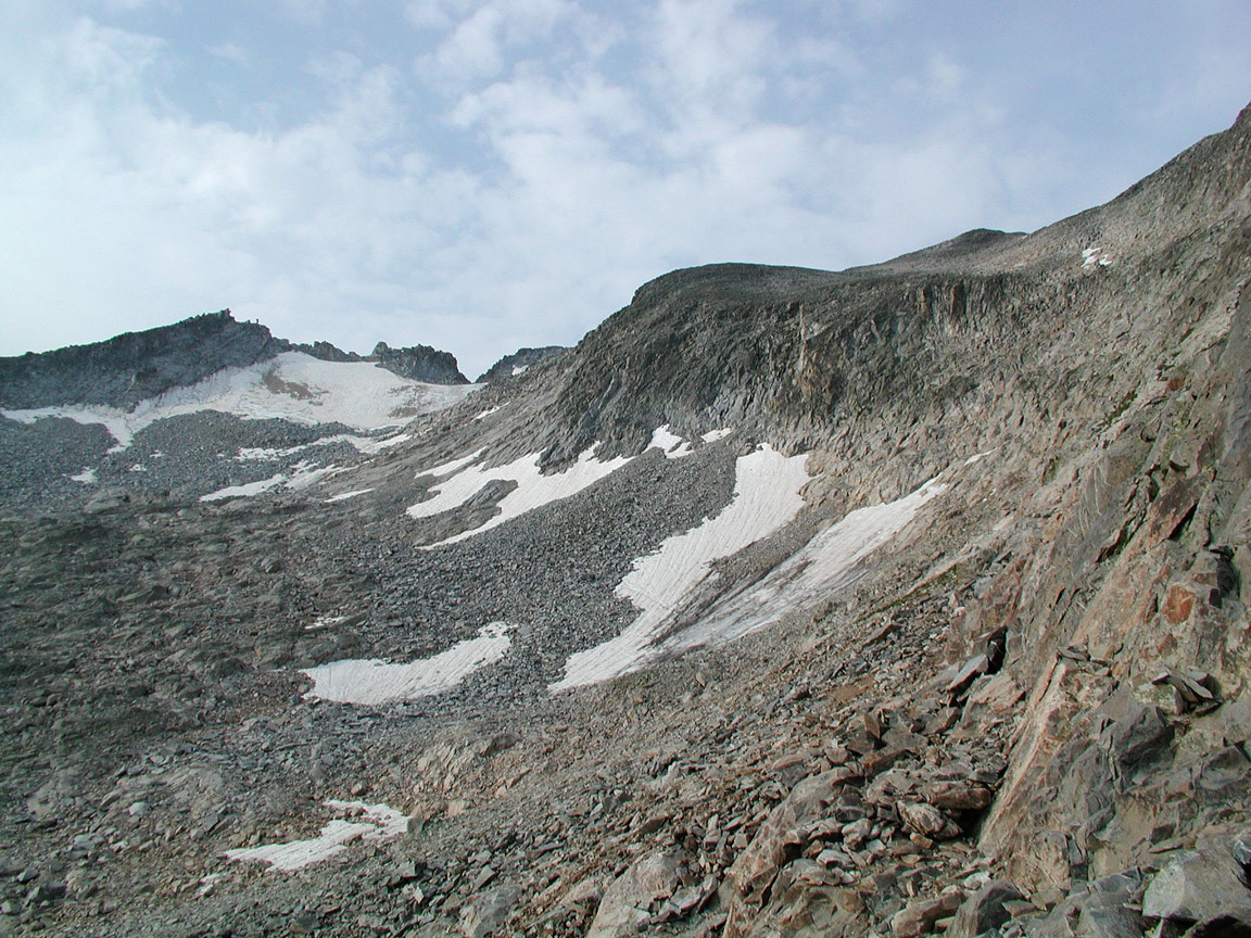
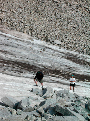
The Pavilions shopping complex on the Sixteenth Street Mall in
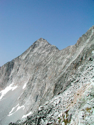
Downtown Denver.
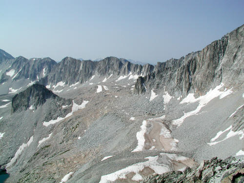
7
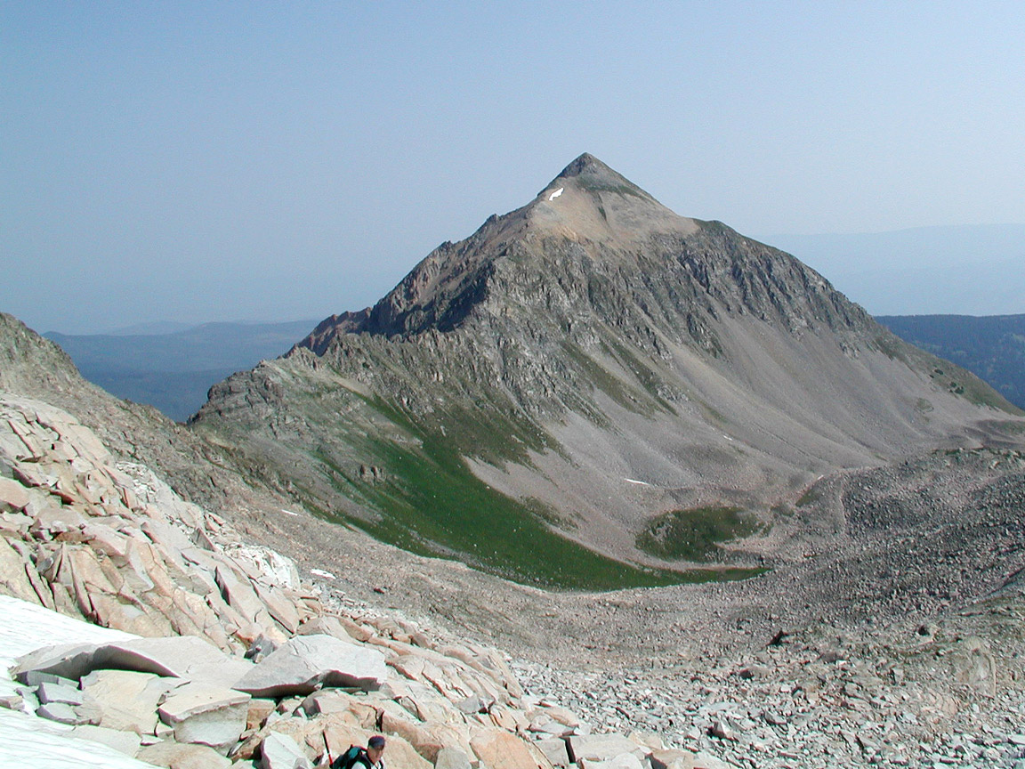
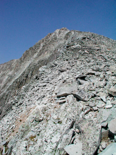
|
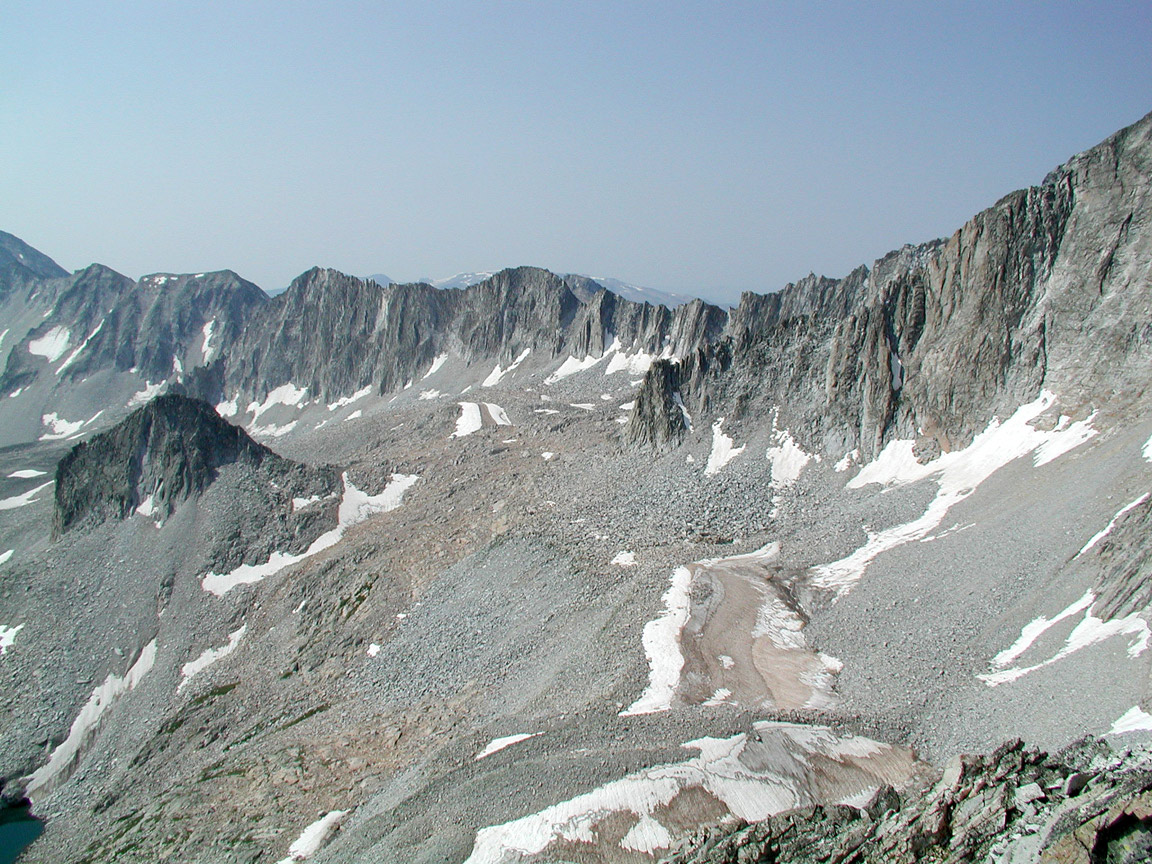
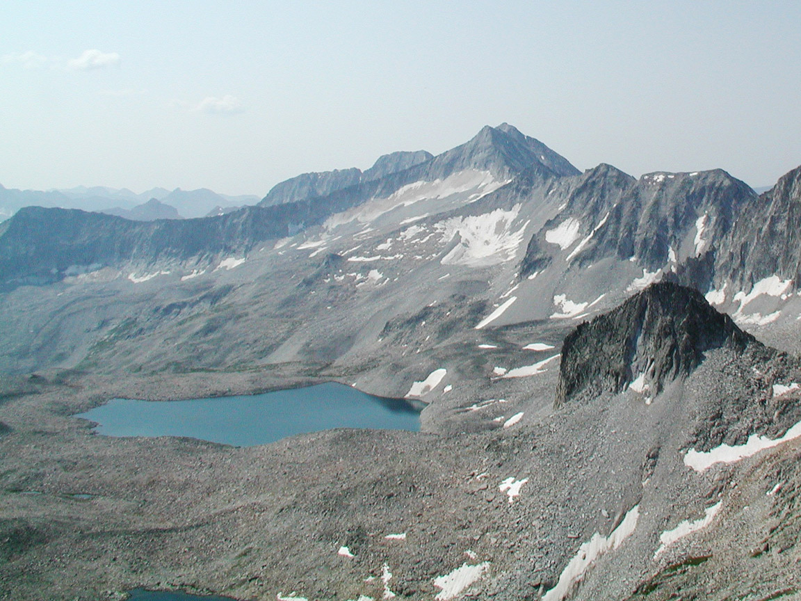
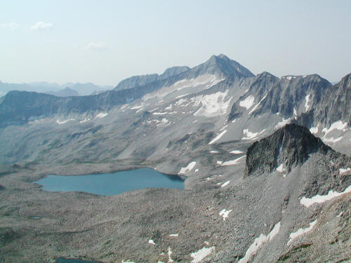
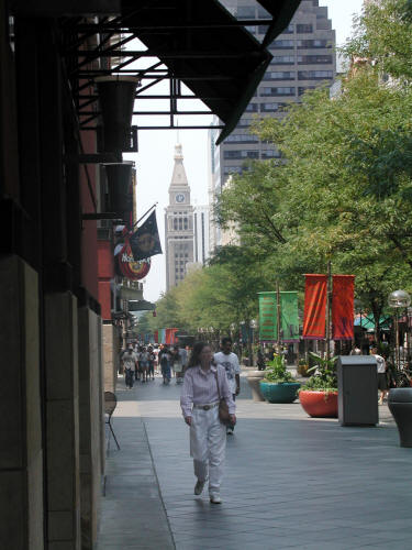 |
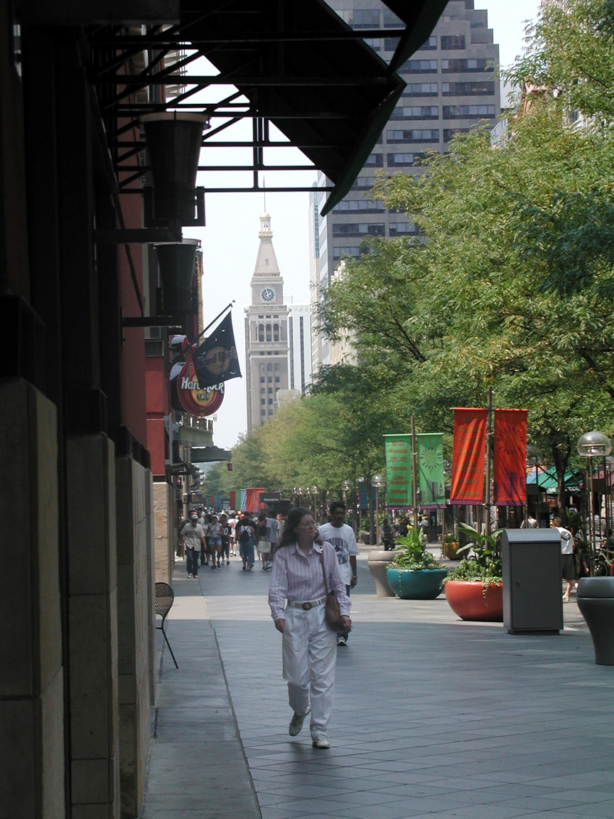
View northwest along the Sixteenth Street Mall in Downtown Denver
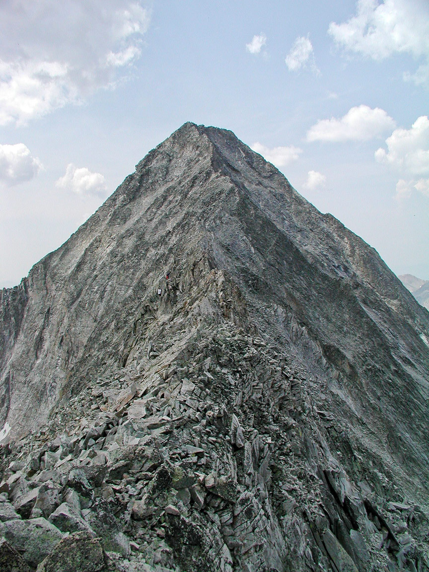
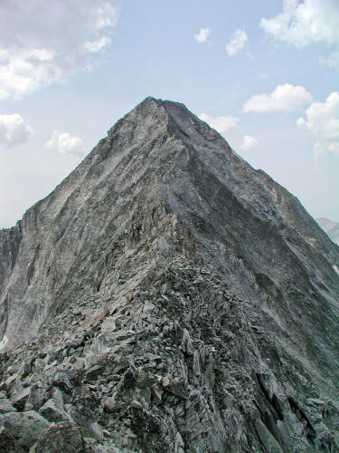
with the Clocktower in the distance.
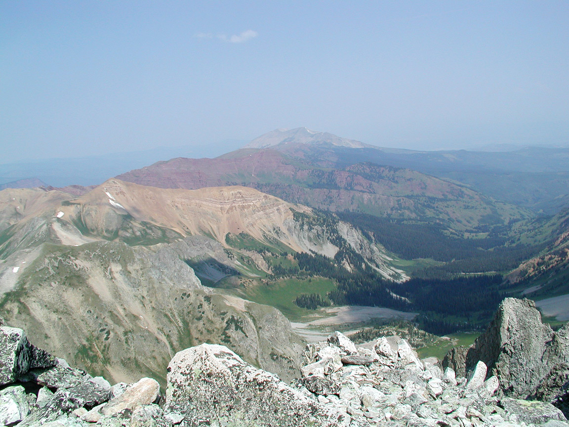
8
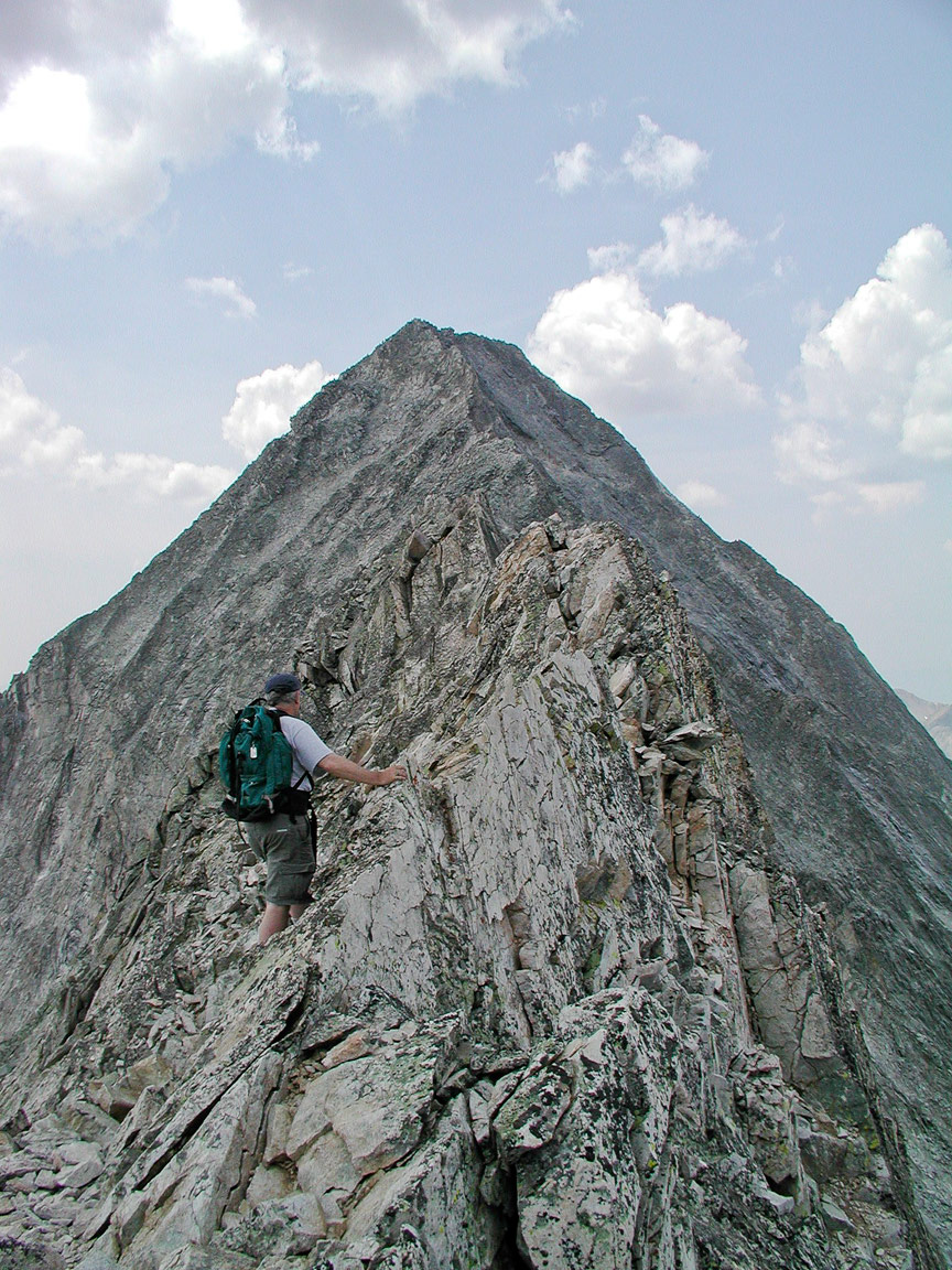
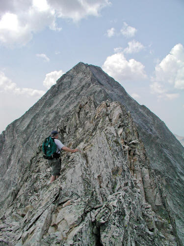
|
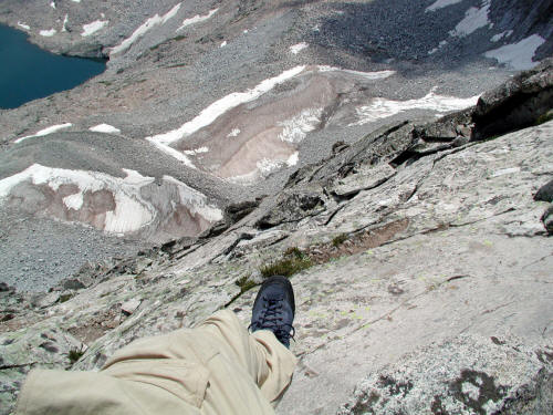
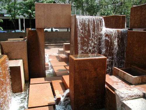 |
A Lawerence Halpren designed water fountain complex
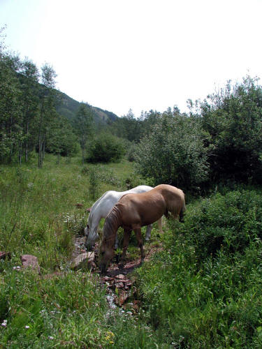
adjacent to the Clocktower along the
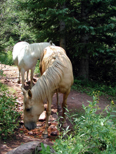
Sixteenth Street Mall in Downtown Denver.
9
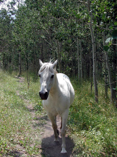
|
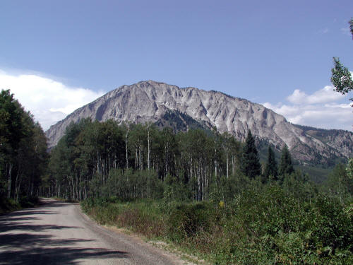
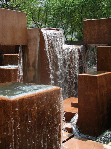 |
Another view of a Lawerence Halpren designed water fountain complex
adjacent to the Sixteenth Street Mall in Downtown Denver.
10
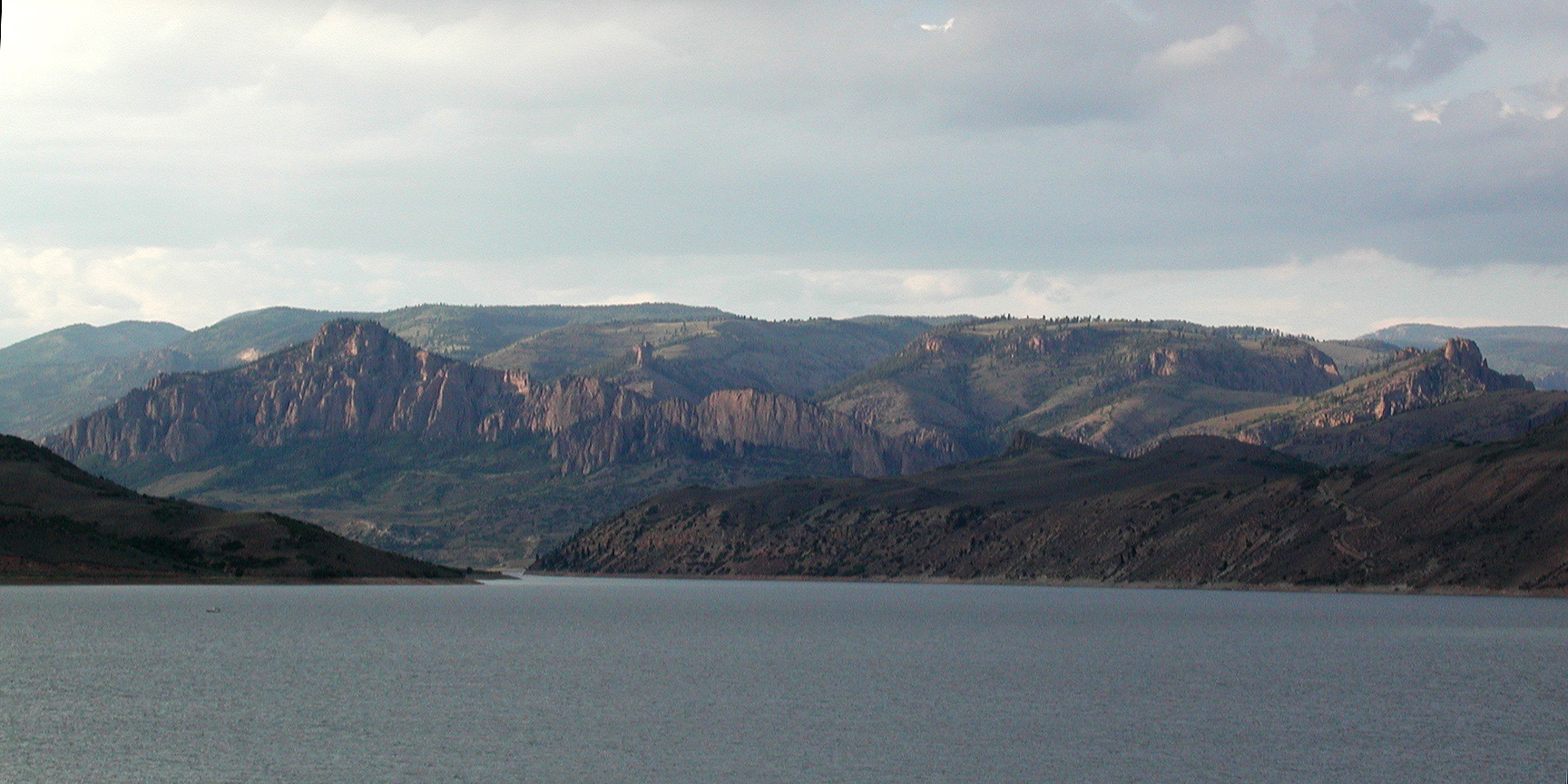
|
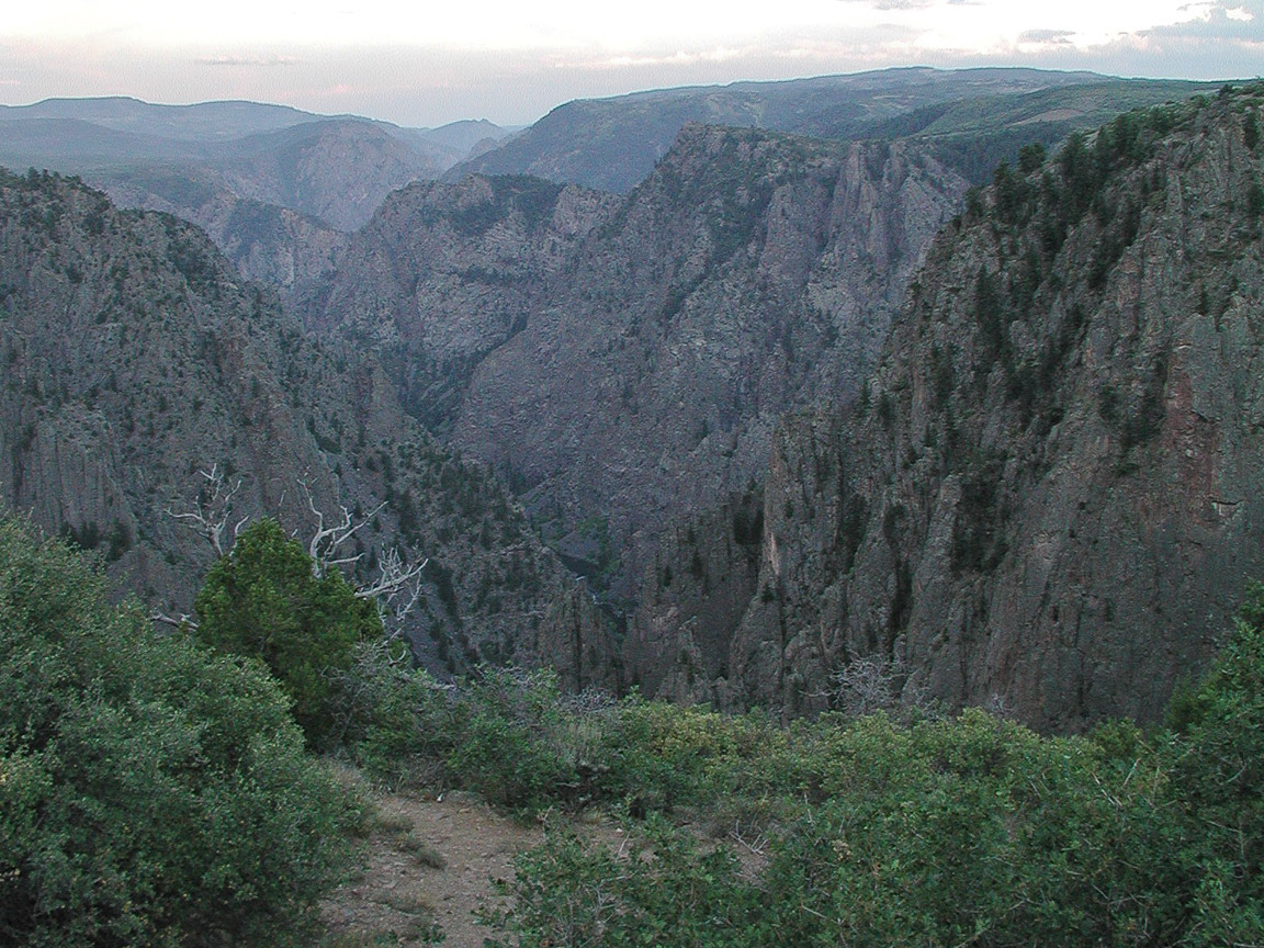
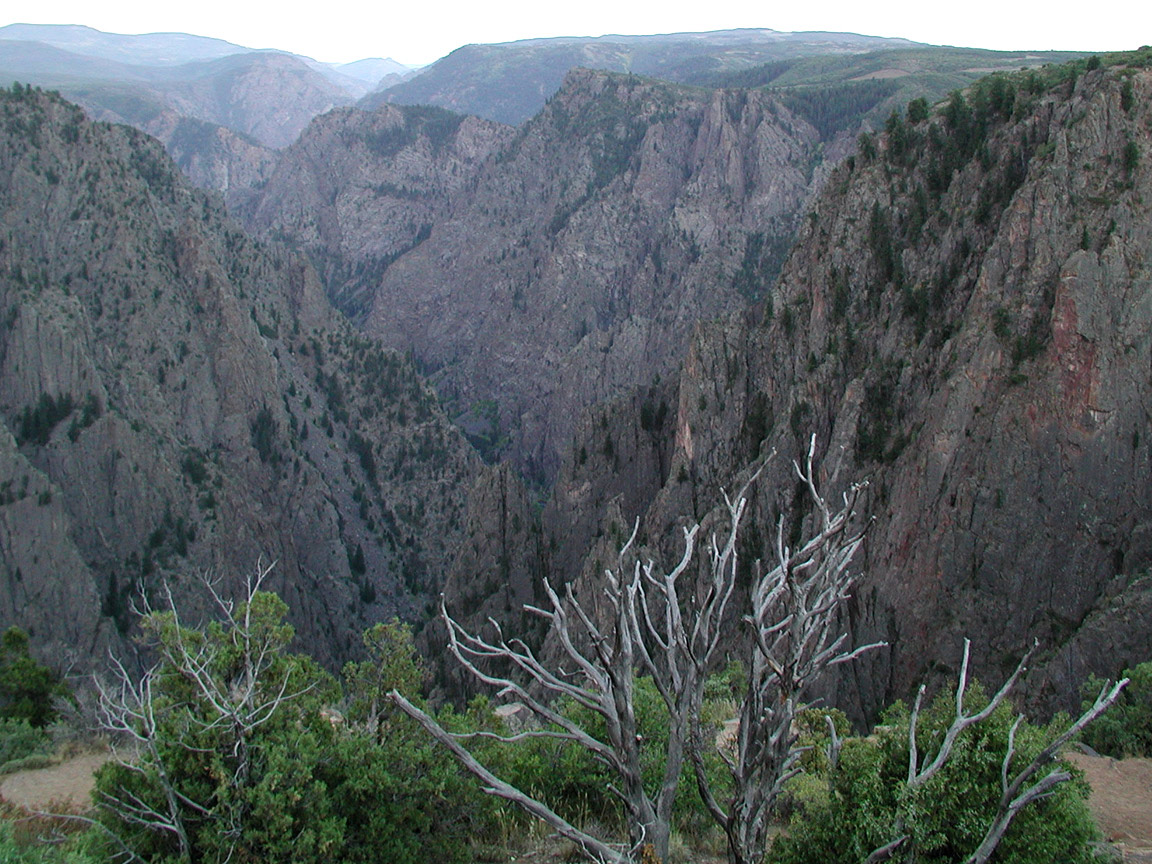
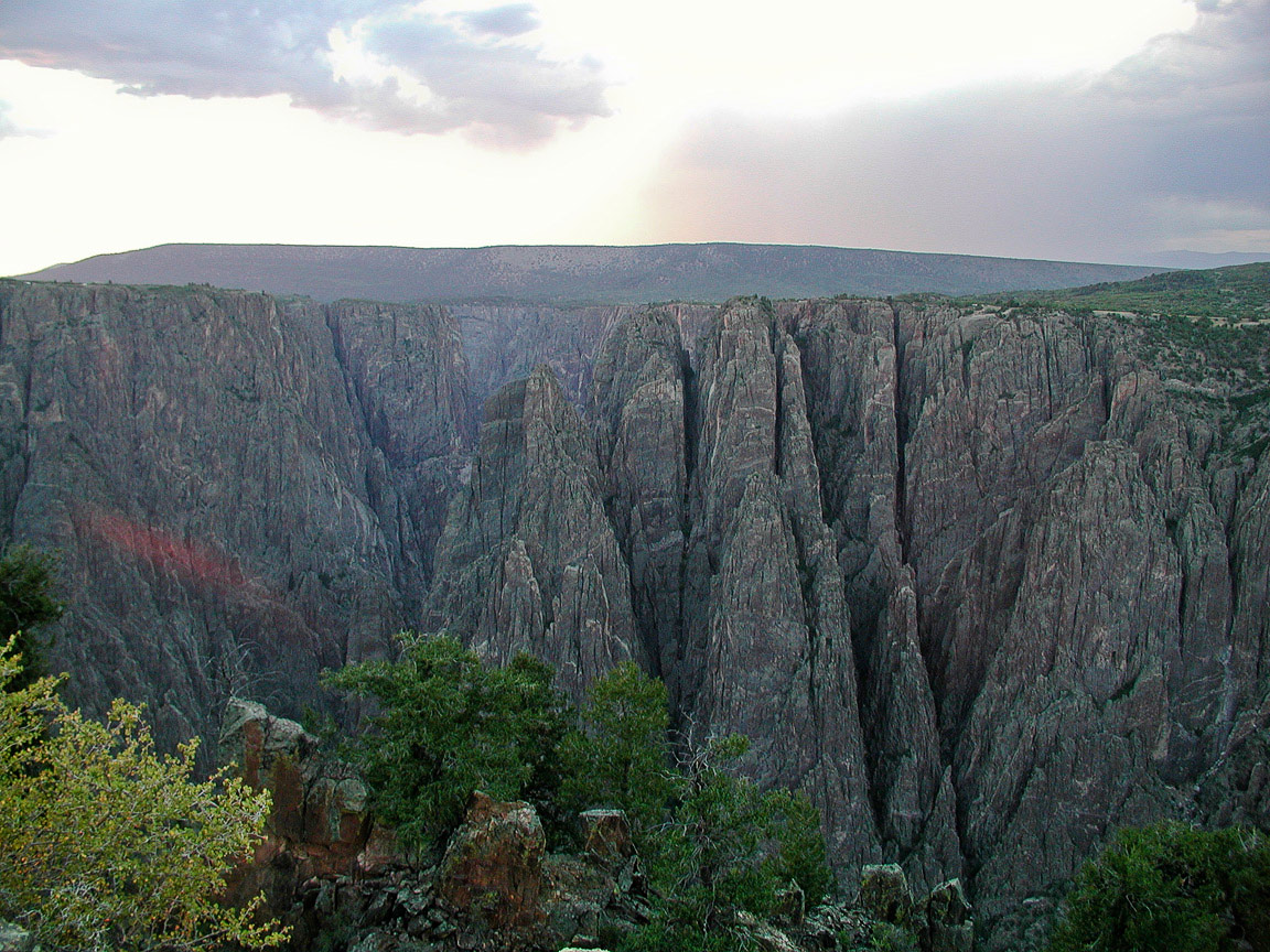
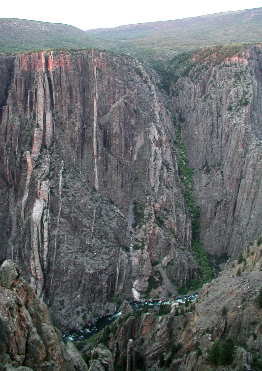
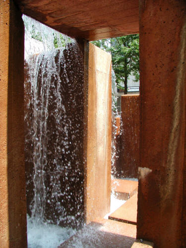 |
Another view of a Lawerence Halpren designed water fountain complex
adjacent to the Sixteenth Street Mall in Downtown Denver.
11
|
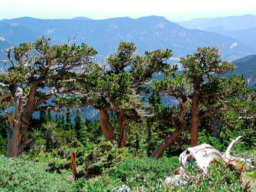 |
Bristlecone pine trees in the Mount Goliath Natural Area along the
Mt. Evans Road.
12
|
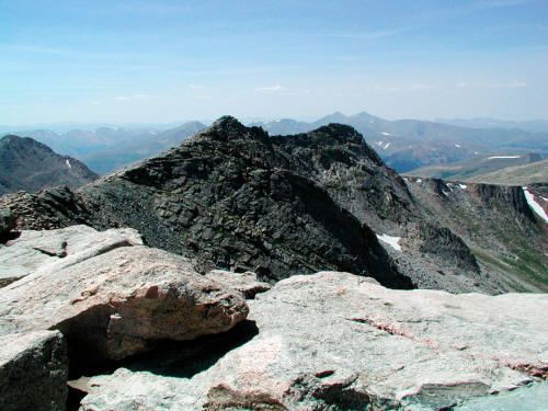 |
Adjacent and very close unnamed peaks from the Summit of Mt. Evans.
13
|
 |
Zoomed view of adjacent unnamed peaks from the Summit of Mt. Evans.
14
|
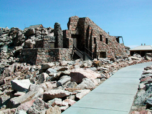 |
The
remains of the famous Crest House Restaurant and Gift Shop located at the
end of the Mt Evans Road. Operated
from 1941 to 1979 when a fire destroyed the facility. The insurance
settlement did not cover the expense of repairs so the money was used to
convert the ruins to an observation platform.
15
|
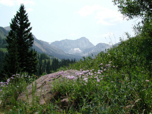 |
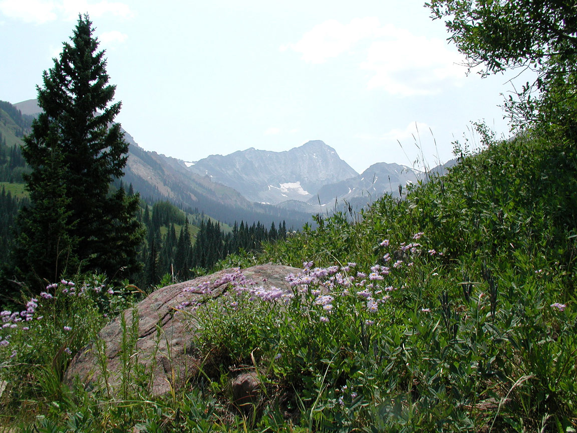
View south from the Capitol Creek Trailhead in the White River
National Forest near Glenwood Springs, Colorado.
16
|
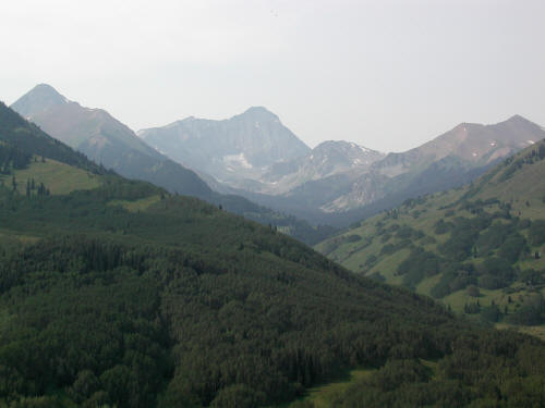 |
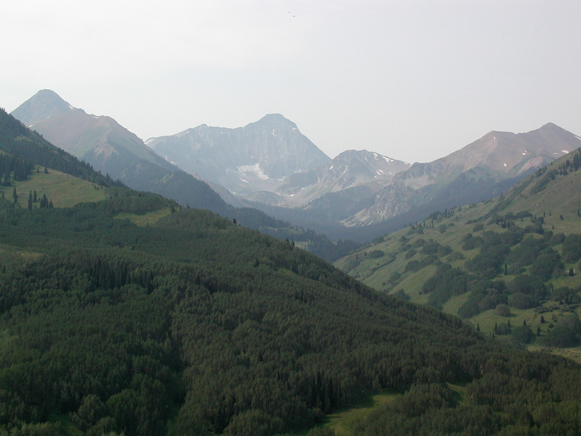
Close-up view south from the Capitol Creek Trailhead in the White
River National Forest. Capitol Peak
is clearly visible on the horizon in the center of the image.
17
|
 |
Zoomed view south from the Capitol Creek Trailhead to Capitol Peak.
18
|
 |
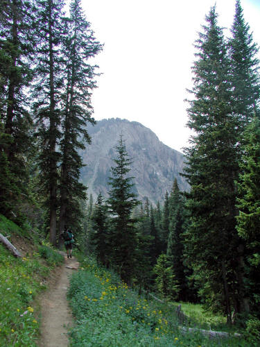
View generally south from the West Capital Creek Trail. This
trail stays higher than the Capital Creek Trail by skirting a flanking
ridgeline. The trails rejoin at approximately the half-way point to
Capitol Lake.
19
|
 |
Zoomed view generally south from the West Capital Creek Trail.
This is a good trail that is not as heavily used as the Capital Creek
Trail. It can be more difficult to follow and there is some up and
down in the route but it provides great views of Capitlal Peak.
20
|
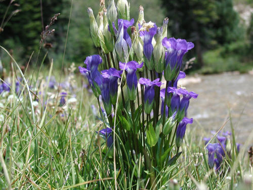 |
Great wildflowers in season on this trail. This image is of
"Fringed Gentian" along Capitol Creek near the point the West Trail meets
the Capitol Peak Trail.
21
|
 |
View of the main Capitol Creek Trail as it
skirts a hillside above Capitol Creek.
22
|
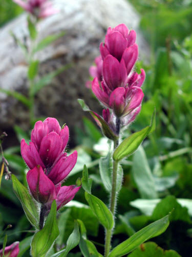 |
Maroon Indian Paintbrush along the trail.
23
|
 |
View
southeast along the main trail looking at Mount Daly, the flat top mountain
right , and an unnamed lower peak left.
24
|
 |
View south along the trail with Capitol Peak in the distance and
wildflowers left and right.
25
|
 |
View of Capitol Peak taken from the trail as it climbs up to the
level of Capitol Lake. The distance from the trailhead to the Lake
is approximately 5.5 miles and 2500 feet of elevation gain.
26
|
 |
This is a view south from the meadow above Capitol Lake toward
the dramatic west face of Capitol Peak.
27
|
 |
Zoomed view to the massive west face of Capitol Peak.
28
|
 |
View southwest from the Capitol-Daly Saddle. It is a 1000 foot
climb from the meadow below to the saddle.
29
|
 |
View southeast from just below the saddle into the bowl between the
Capitol Peak ridgeline and an intermediate ridgeline adjacent to Clarks
Peak east.
30
|
 |
Crossing a mostly ice and dirty snow tongue while climbing back
out of the bowl.
31
|
 |
View back toward the Capitol-Daly Saddle from near the top of the
tan slabs below K2.
32
|
 |
View east at the top of the tan slabs toward the intermediate
ridgeline that separates the bowl from Clark's Peak.
33
|
 |
View southwest from the edge of the ridgeline above the top of the
tan slabs to Capitol Peak. The Pierre Lakes Basin is down and to
the left and quite a sight.
34
|
 |
View into the Pierre Lakes Basin from the location of the previous
image. It is a large four square mile plus area. The ridgeline
on the horizon
connects Capitol Peak to Snowmass Mountain.
35
|
 |
Another view into the Pierre Lakes Basin with Snowmass Mountain on
the horizon.
36
|
 |
View up to K2. Climbers just visible near the top.
37
|
 |
View generally north from the base of K2 where it connects to the
Knife Edge. Mount Sopris is visible in the distance on the horizon and the Capitol Creek drainage
is the darker green stuff.
38
|
 |
View south from along the Knife Edge. Climbers are visible in
the middle of the image. There is a lot of broken shards of granite
that make up much of what you stand on near the base of K2.
39
|
 |
View farther along the Knife Edge. It is quite steep on either
side but the rock is much better and not loose like the smaller shards
near K2.
40
|
 |
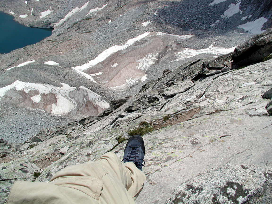
View straddling the Knife Edge and looking down to the Pierre Lakes
Basin below. We made it to a "V" notch just beyond the Knife Edge
and decided because there was a very dark black cloud approaching and it
was almost 2 PM to return to our base camp at Capitol Lake.
|
 |
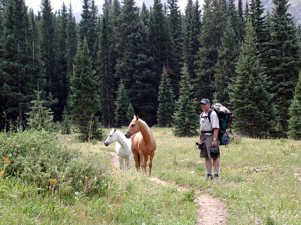
On the return the next day we had the company of two horses that
followed us for the last half of the trip until we made the final
crossing of Capitol Creek near the climb out.
42
|
 |
The horse companions.
43
|
 |
More of our horse companions.
44
|
 |
The white horse companion.
45
|
 |
After an evening stay in Carbondale and dinner at Juicy Lucy's in
Glenwood Springs we headed for Crested Butte the next day by way of
McClure Pass and Kebler Pass. View is of Marcellina Mountain near
Kebler Pass.
46
|
 |
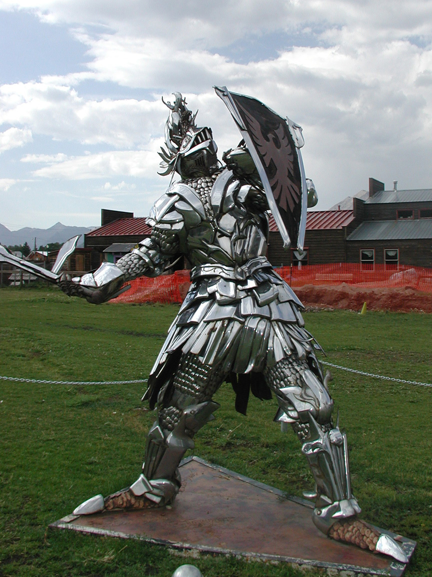
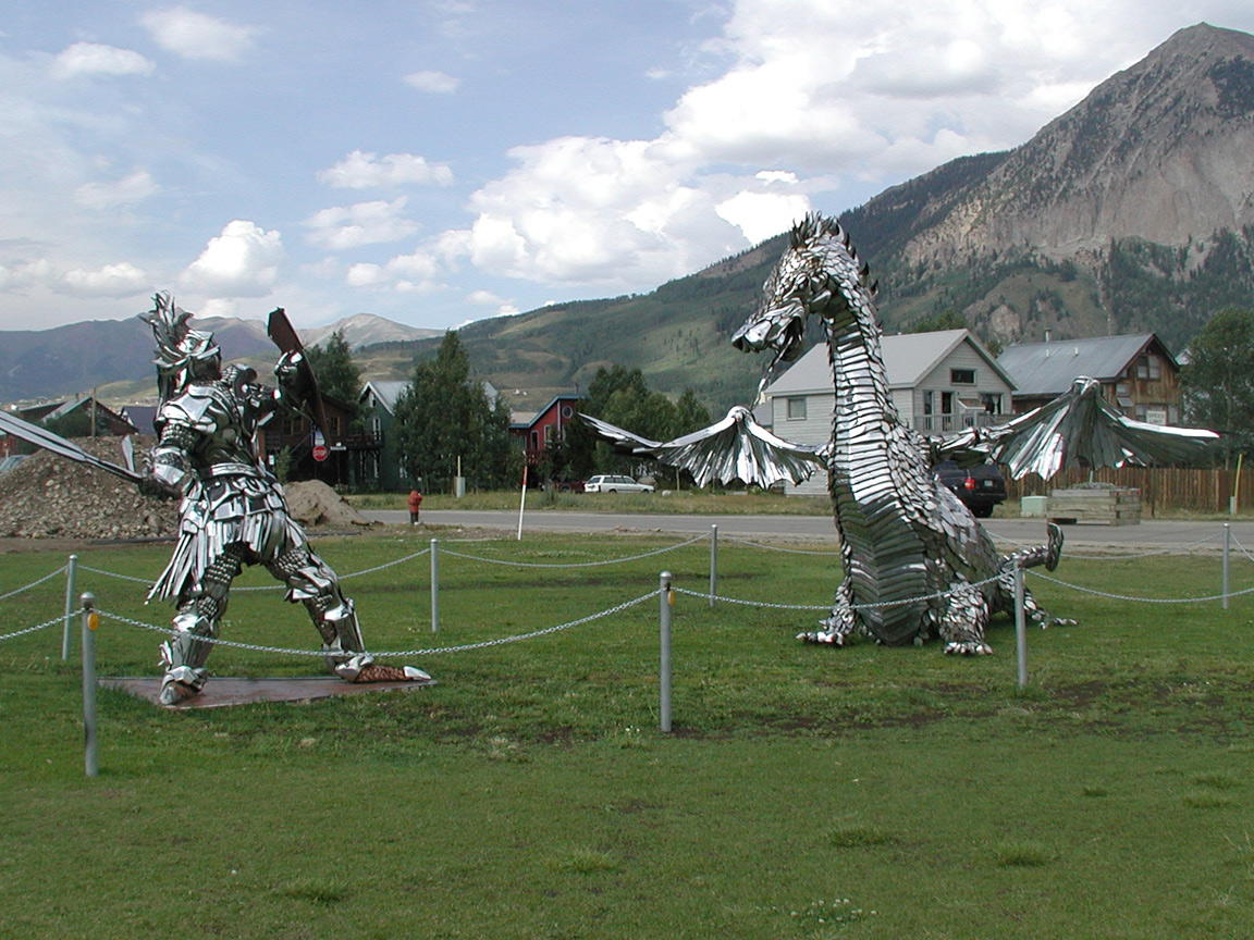
Checked out Crested Butte for several hours. This sculpture
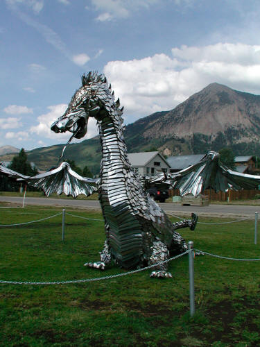
made from chrome car bumpers sets along the road on the way south out of
town.
47
|
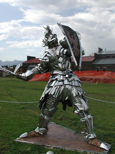 |
A companion piece to the chrome bumper dragon.
48
|
 |
Both the Knight and the Dragon chrome bumper sculptures.
49
|
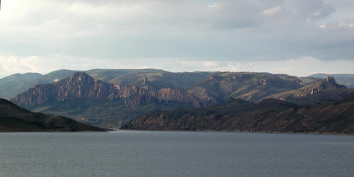 |
View of the Dillon Pinnacles from Hwy 50 with very good late day
light.
50
|
 |
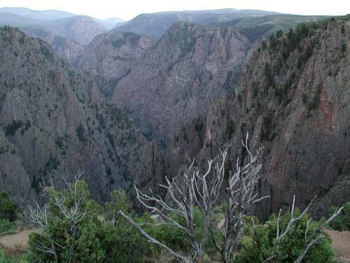
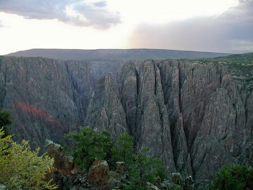
View into the Black Canyon of the Gunnison River at the south rim of
the National Park.
51
|
 |
View into the Black Canyon of the Gunnison River at the south rim of
the National Park.
52
|
 |
View into the Black Canyon of the Gunnison River at the south rim of
the National Park..
53
|
 |
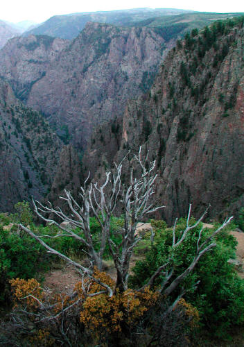
View into the Black Canyon of the Gunnison River at the south rim of
the National Park..
54
|
 |
View into the Black Canyon of the Gunnison River at the south rim of
the National Park. We stayed the night in Gunnison and drove over
Cottonwood Pass the next day and had lunch in Buena Vista.
Continued east across South Park and visited Florrisant Fossil Beds
National Monument and drove back non-stop to St. Louis from Colorado
Springs.
55
|