 |
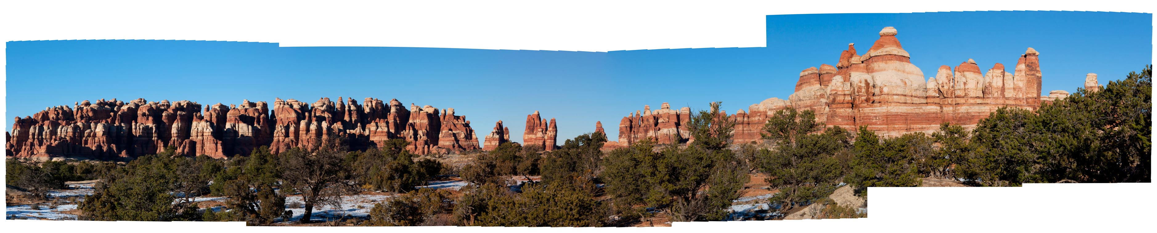
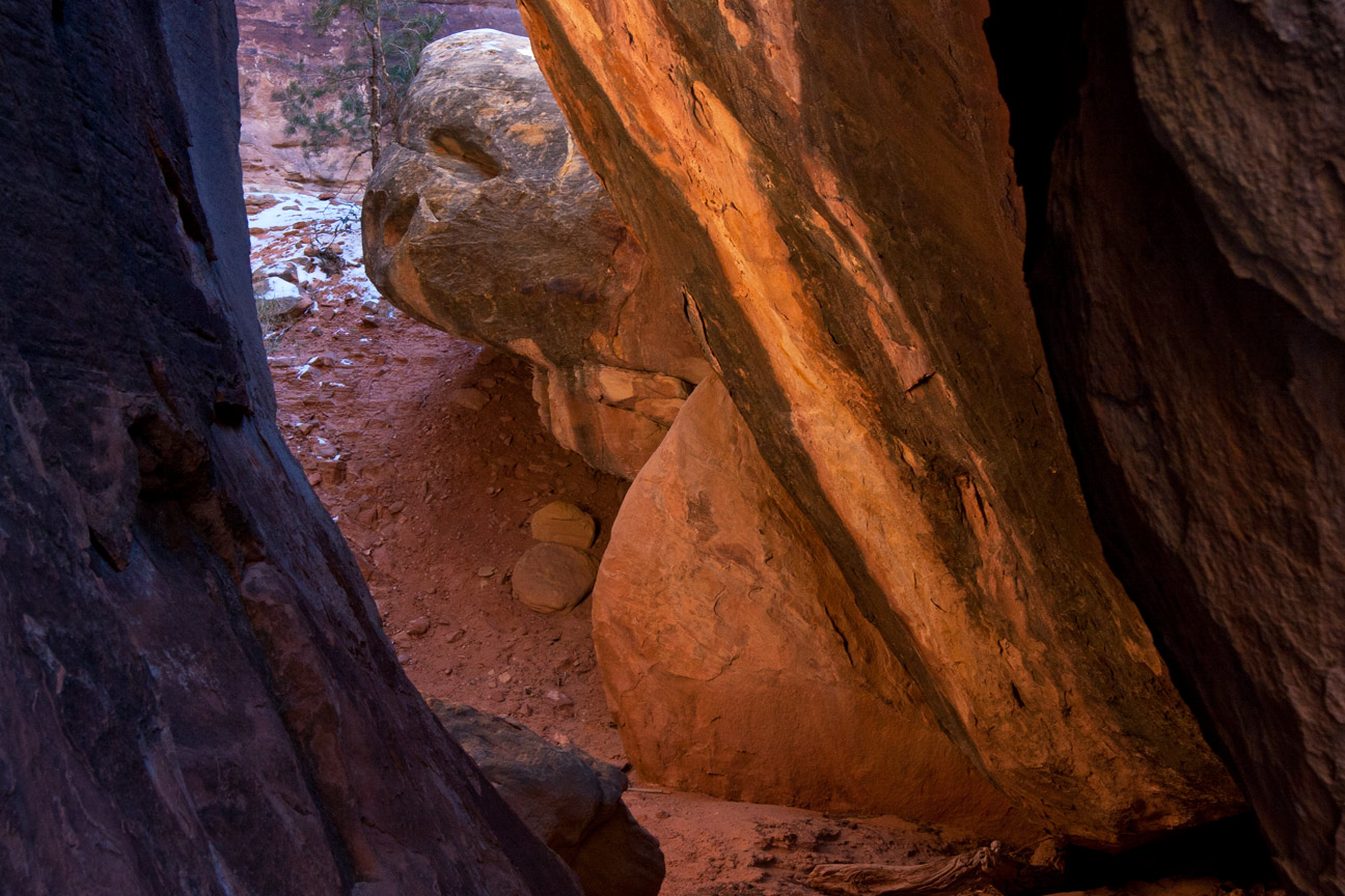
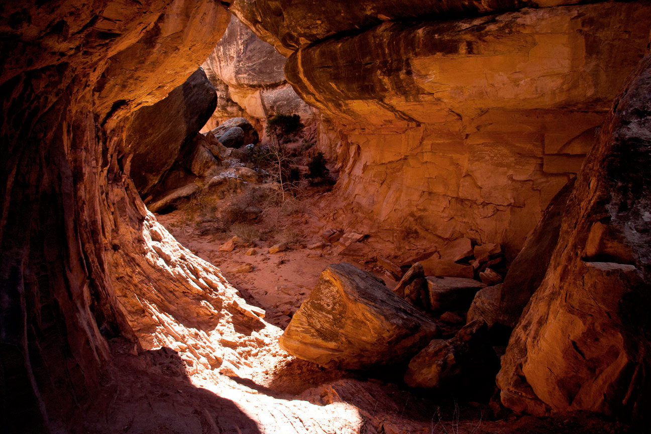
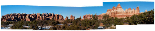
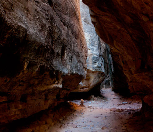
Looking generally north from the drop-in point of The Joint Trail.
The Joint Trail is located at the south end of Chesler Park. The
trail is approximately 2 miles from the Portal climb into Chesler
Park.
1
|
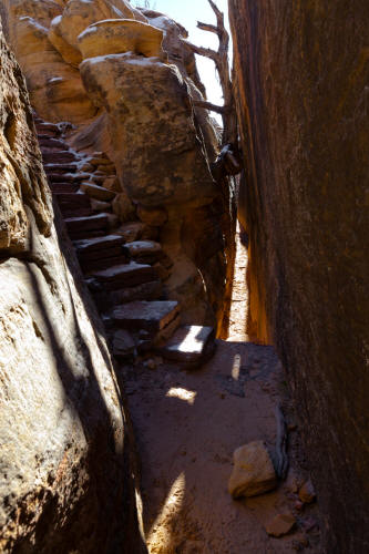 |
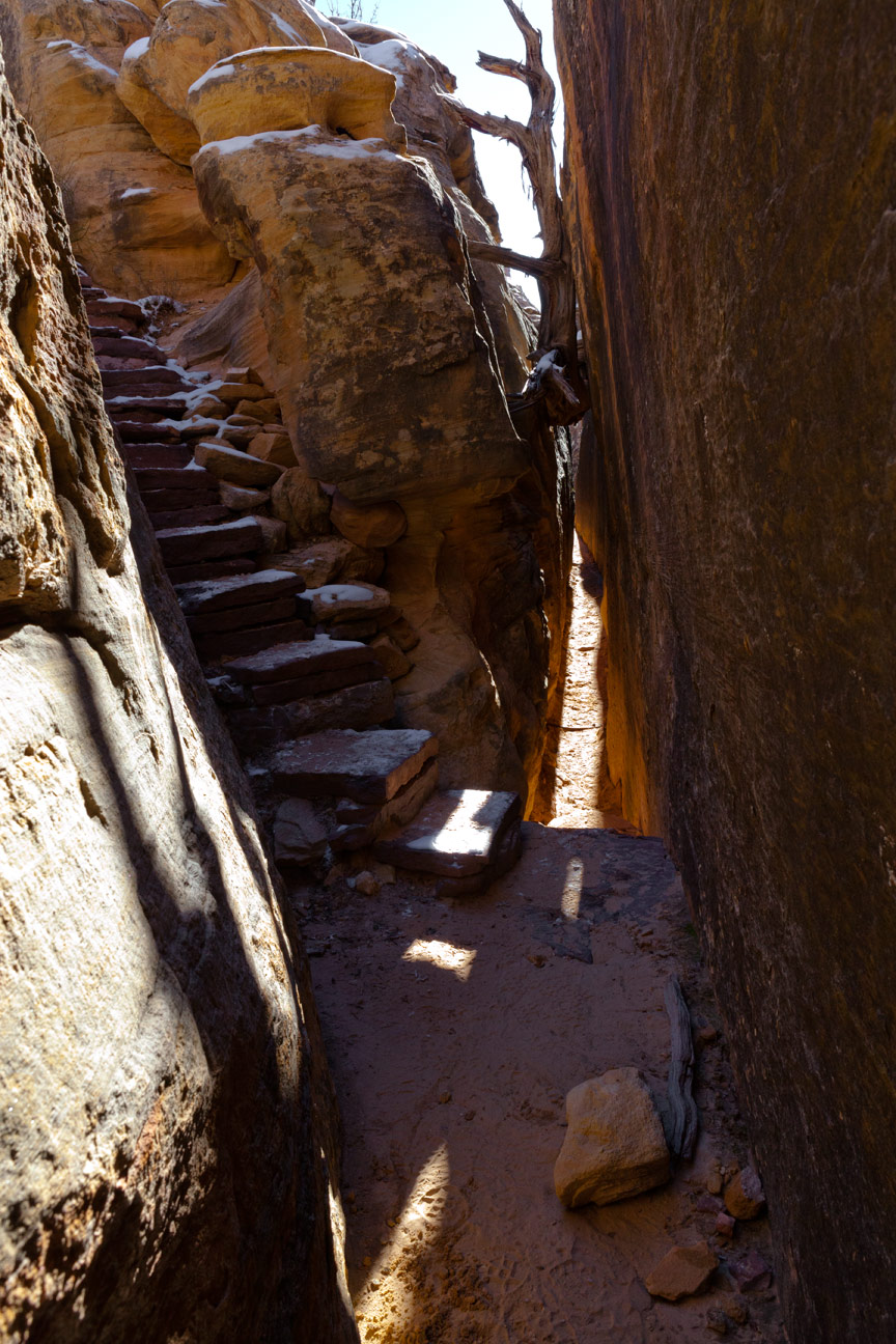
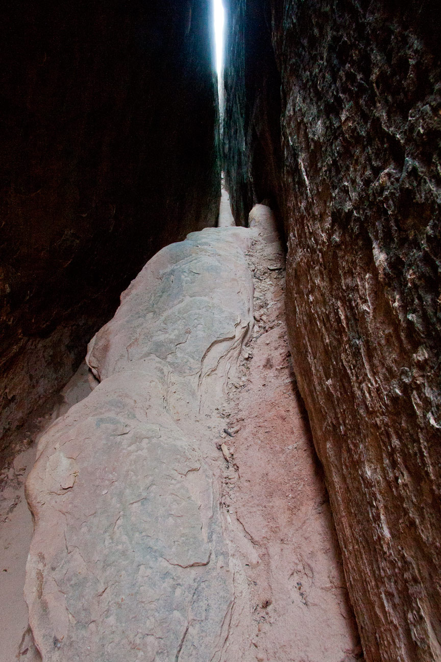
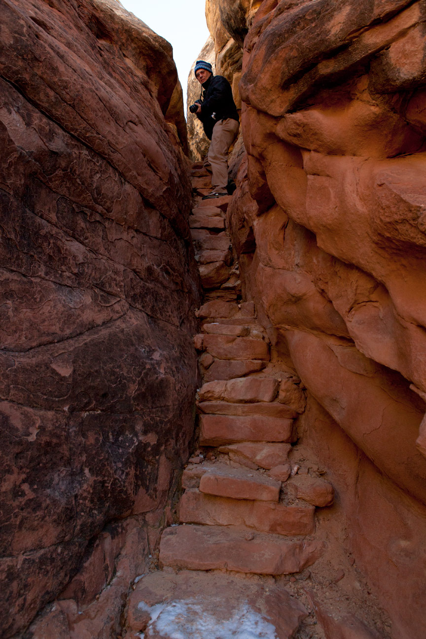
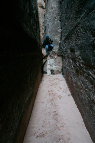
Looking into the Joint Trail at the entry point stairway.
Stone steps have been added to an east-west joint that provides access
from the surface into the main north-south running and progressively
deeper section of the trail.
2
|
 |
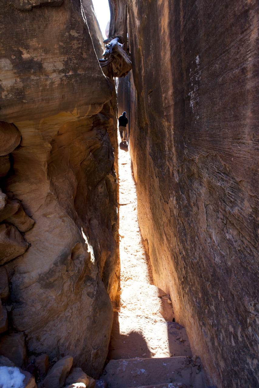
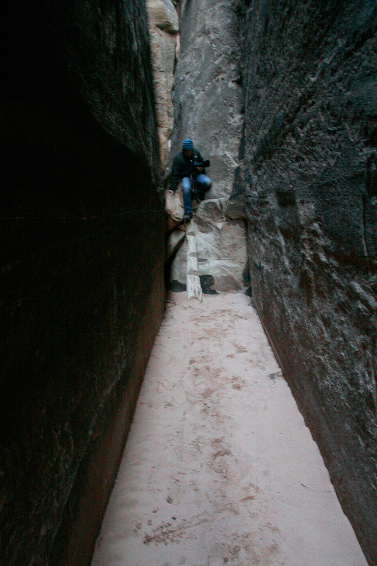
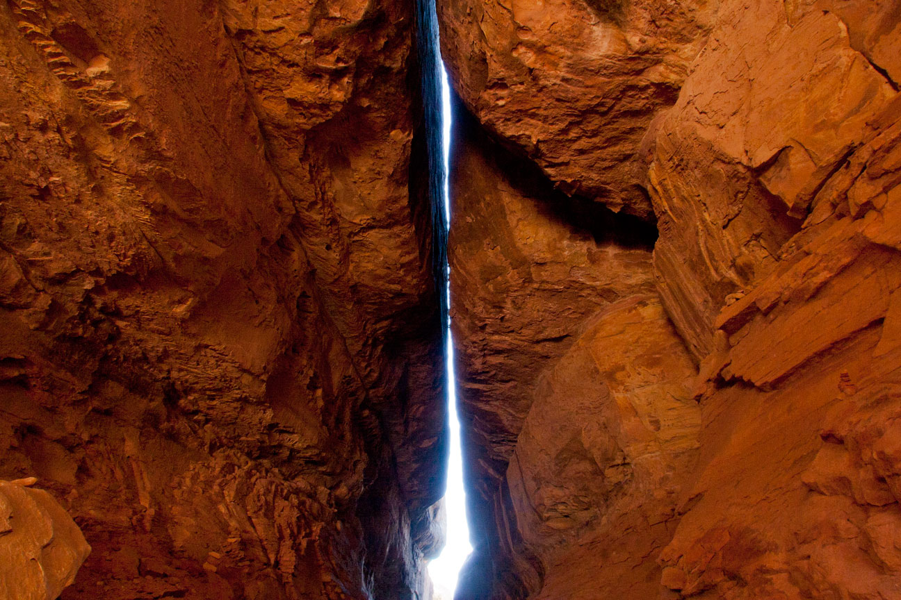
View south down the line of the main north-south running joint from
the drop-in point on The Joint Trail.
3
|
 |
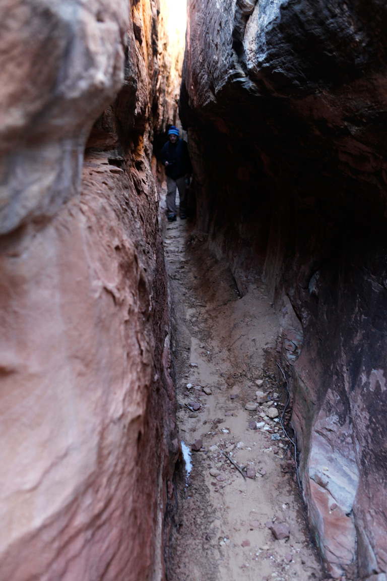
View north back toward the the the drop-in point on The Joint Trail
from 20 yards into the route.
4
|
 |
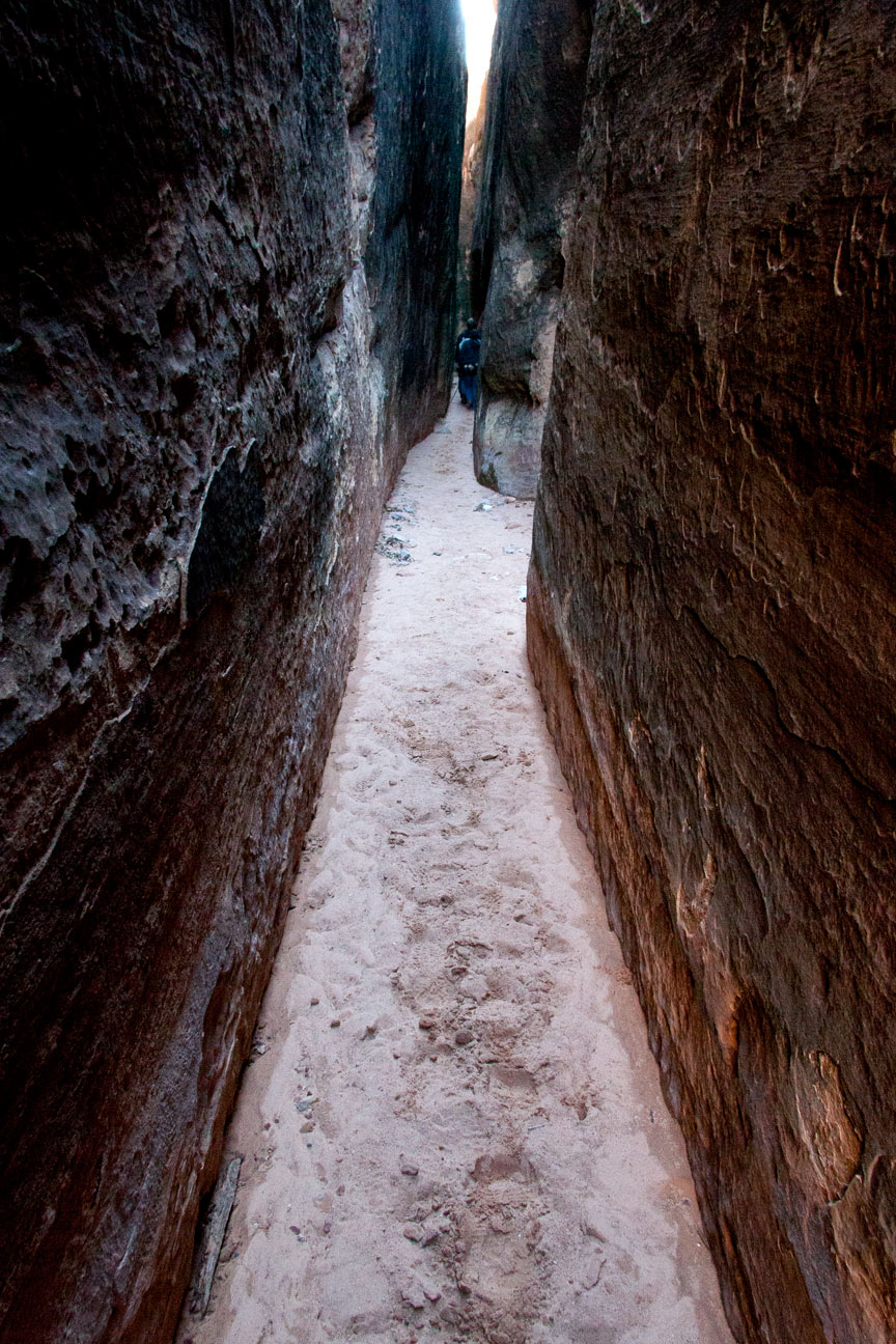
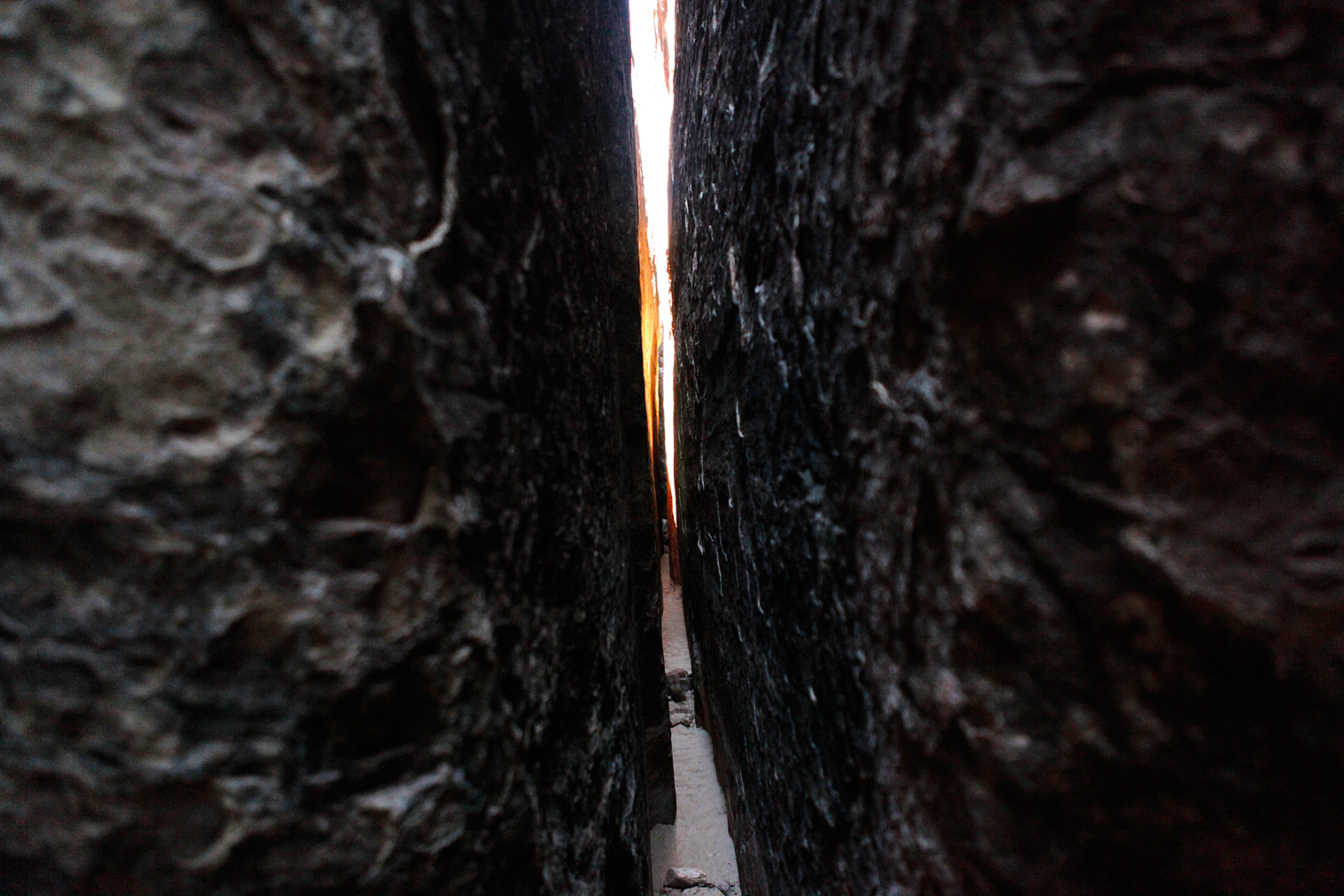
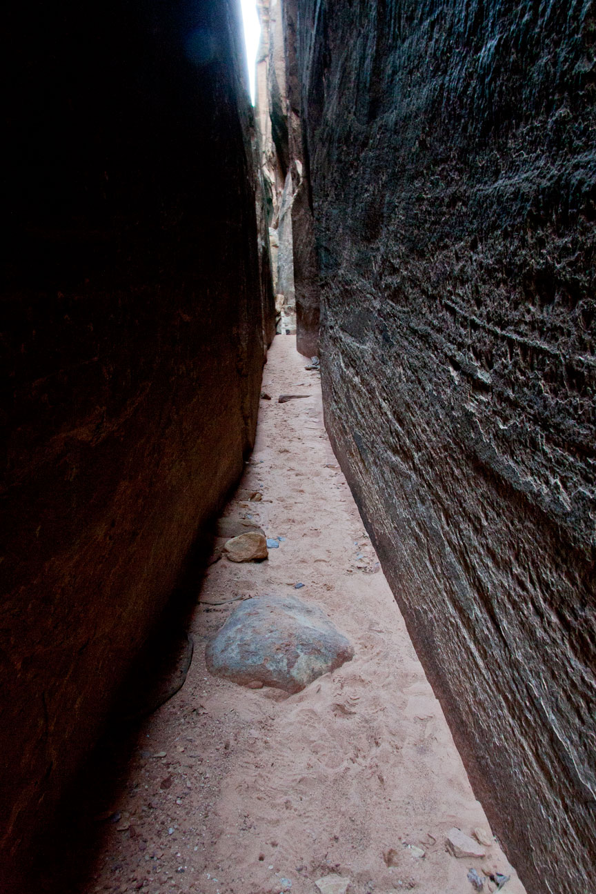
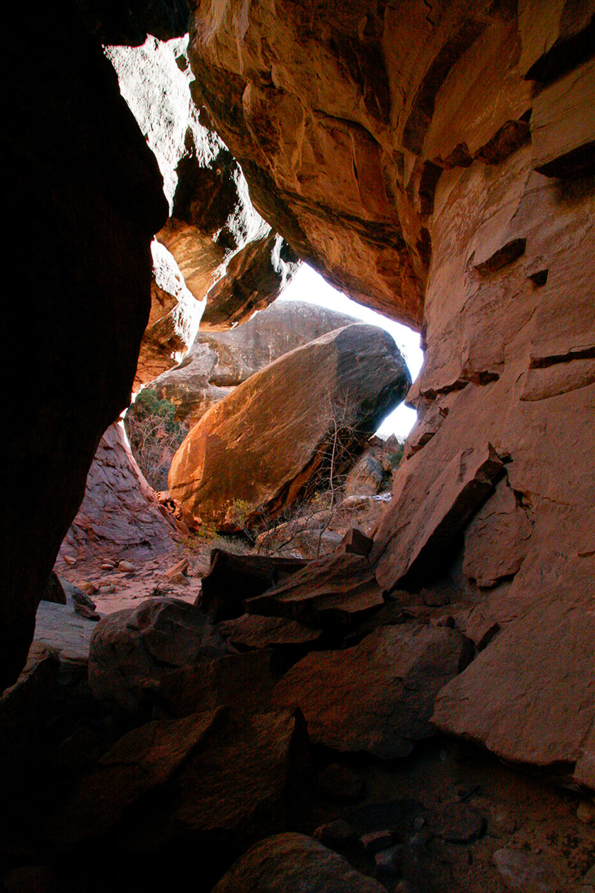
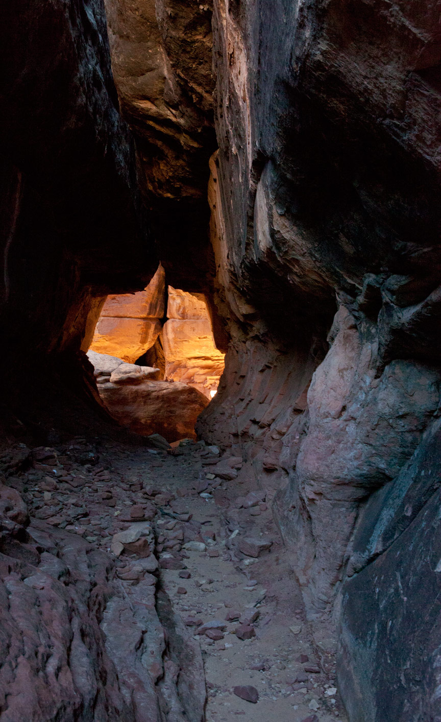
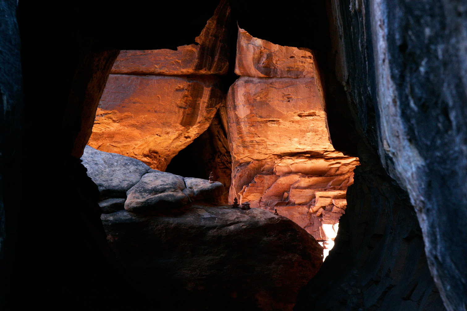
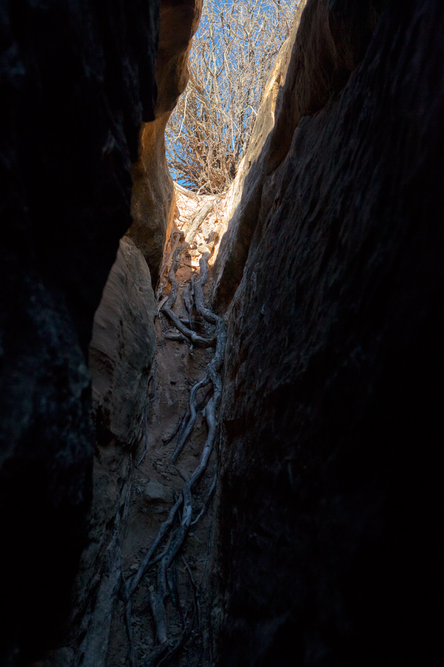
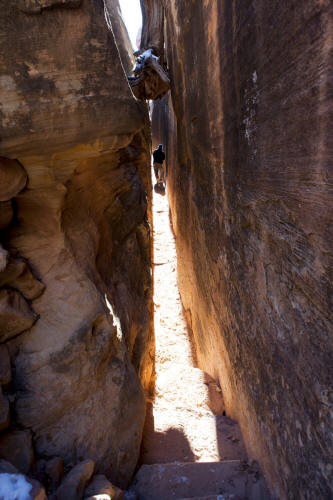
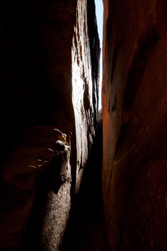
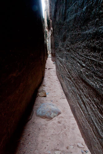
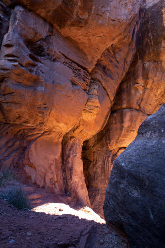
View looking south in the first part of the trail near a point where
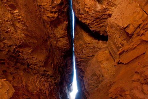
intersecting joints cross at 90 degrees. The walls on either side
are shear and range from 15 feet to 30 plus feet.
5
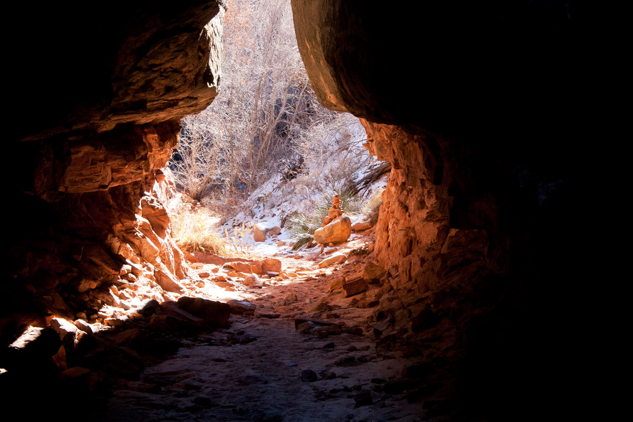
|
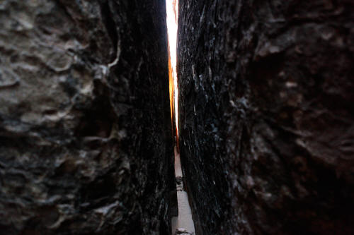 |
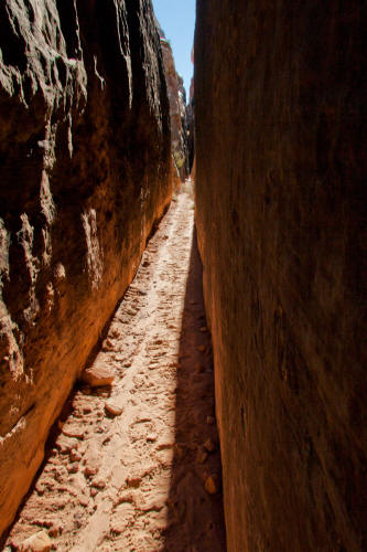
View west inside an east-west intersecting joint to the main
north-south trail. This joint is approximately one foot wide
and passable by scooting sideways. This joint crosses two more
north-south intersecting joints.
6
|
 |
Another view west just past the intersection of the second
north-south running joint. This route requires that you scoot
sideways to pass except were insersections occur.
7
|
 |
Another view west approaching the third north-south running joint.
This joint becomes very narrow.
8
|
 |
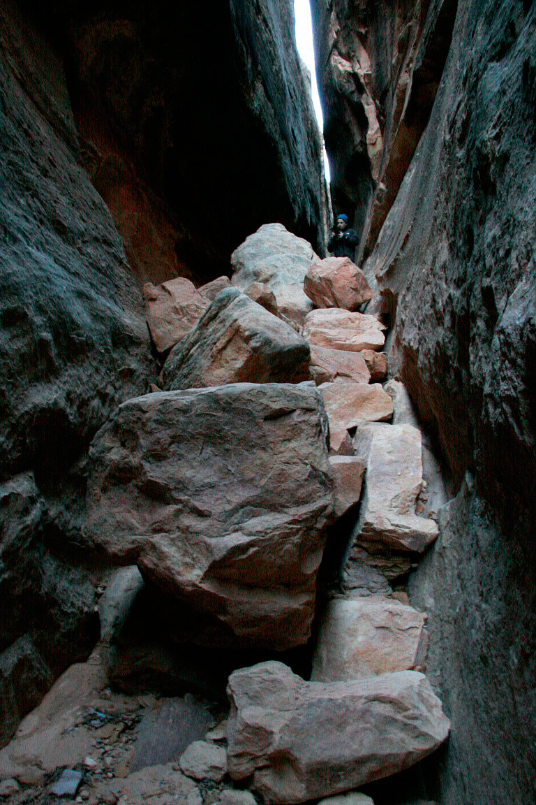
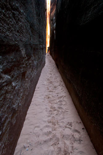
Back into the main north-south running joint that is The Joint Trail.
The trail drops in elevation several times as you descend deeper into the
route.
9
|
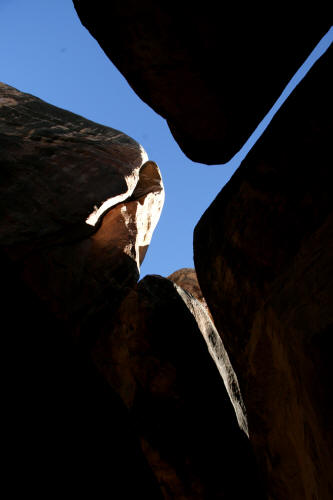 |
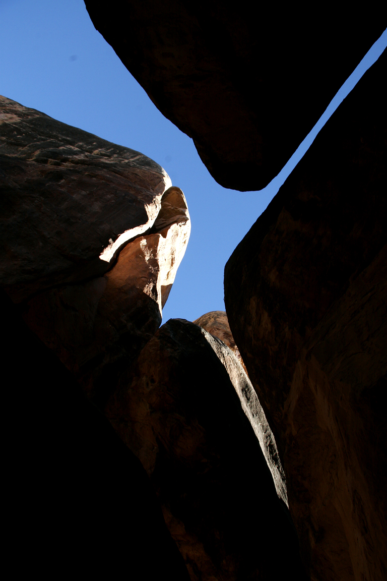
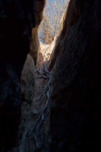
Sky view at the intersection of north-south and east-west joints in
the Cedar Mesa Sandstone.
10
|
 |
View north to a notched log that provides steps to navagate a steep
drop in the trail.
11
|
 |
Looking north back toward the notched log from farther down trail.
12
|
 |
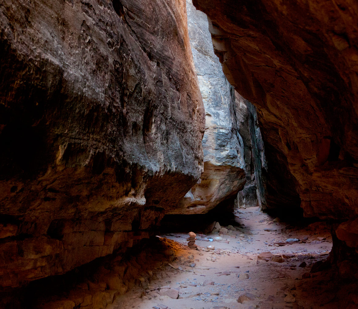
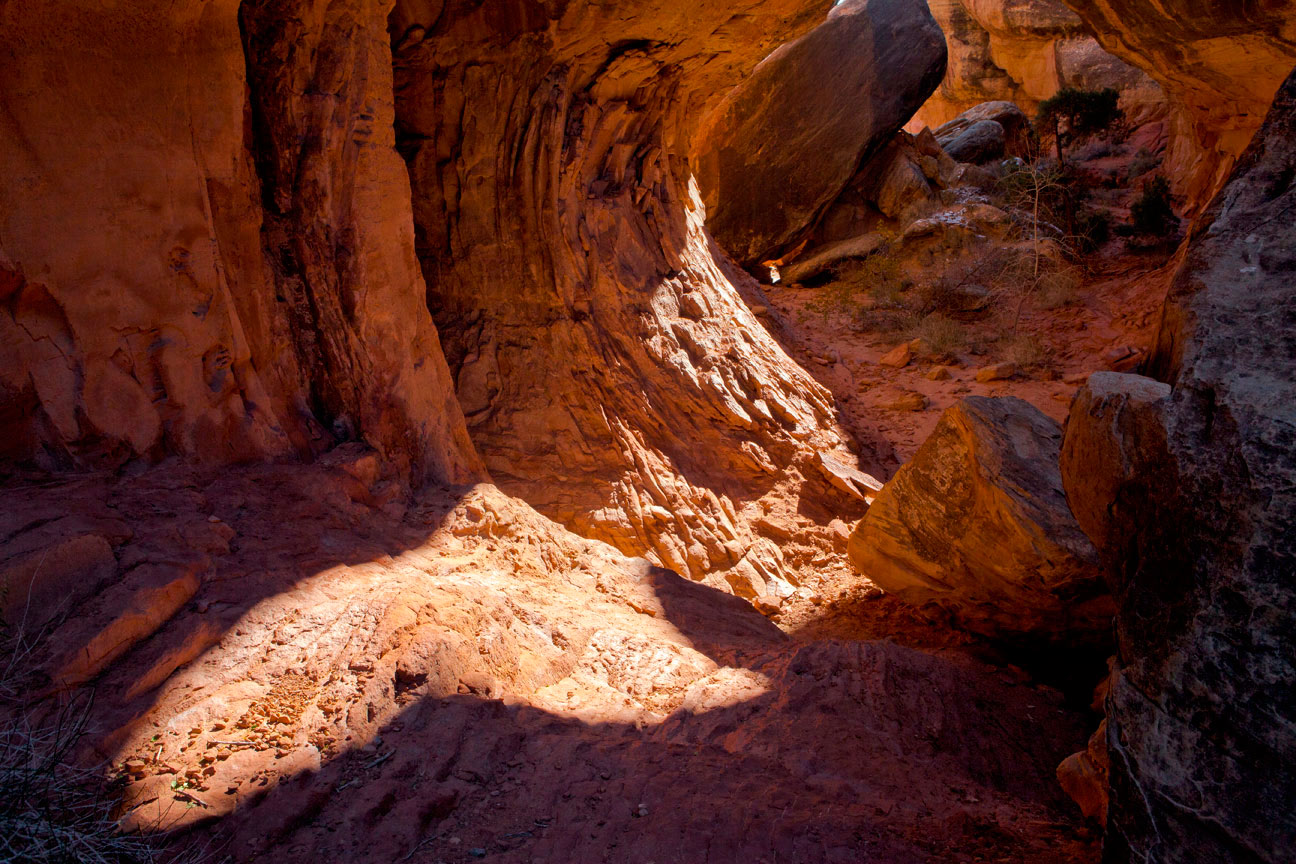
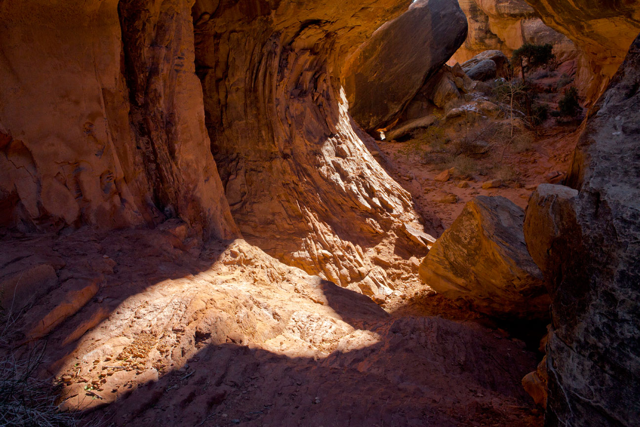
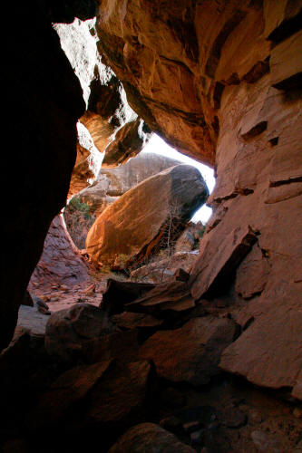
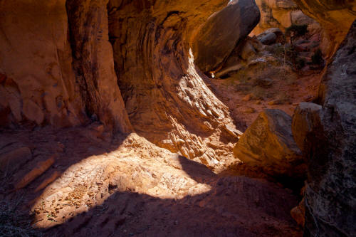
View south toward a part of the trail that opens up into a more cave
like space as the trail encounters softer rock.
13
|
 |
Continuing down trail.
14
|
 |
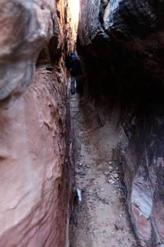
A typical view in the north-south portion of The Joint Trail.
The Joint Trail turns 90 degress to the west in it's final leg accessing
an intersecting chamber to exit into an unnamed drainage.
15
|
 |
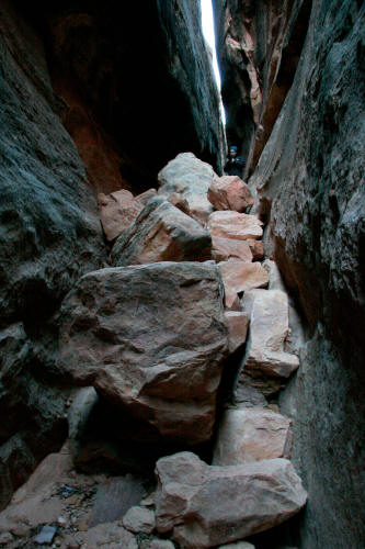
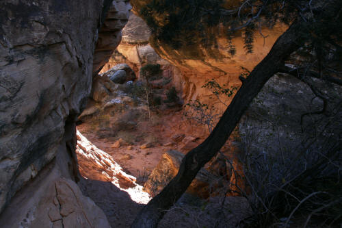
Before the trail turns 90 degress it encounters a larger open space
carved out of softer rock.
16
|
 |
Continuing through the wide portion of the Joint Trail.
17
|
 |
The Joint Trail.
18
|
 |
The Joint Trail.
19
|
 |
The Joint Trail.
20
|
 |
The Joint Trail.
21
|
 |
This is the end of the main north-south runnng joint. The
trail turns 90 degrees into an east-west running joint before this
location. Beyond this point is a bushwack through an open drainage.
22
|
 |
View east back toward the main north south-running portion of the
trail. Image was taken from the last leg of the trail that turns 90
degress from the main section.
23
|
 |
Closer view of the turning point in the Joint Trail.
24
|
 |
Another view of the turning point in the trail.
25
|
 |
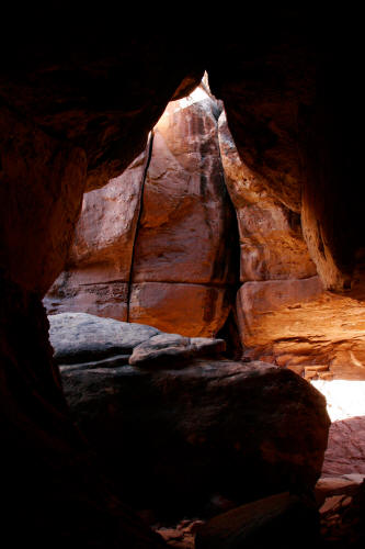
View west from the turning point in the trail. This section is
almost cave like with a very narrow slit in the roof of the passage.
26
|
 |
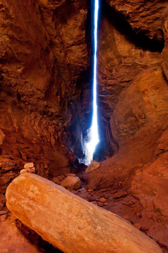
View of the very narrow roof opening in this last leg of the The Joint Trail.
27
|
 |
This is a view north at the end of another north-south running joint
that crosses the final east-west running leg of the trail just before it
exits to the exterior. The Joint Trail is simply fantastical and
like something from your wildest imagination.
28
|
 |
View east looking at the stair that has been created by piling
stones into a narrow crack between the rocks. This is the exit
point from internal portion of The Joint Trail.
29
|
 |
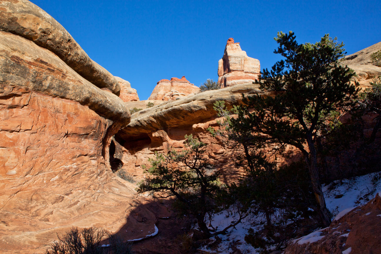
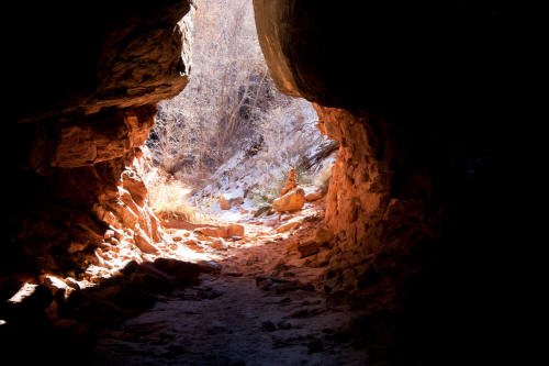
The exit point drops you into this drainage that becomes the
remander of the route until it joins the Chesler Park Loop Trail.
Highly recommended. It is about 5.5 miles one way to get to this
point and an almost strenuous level hike because of the sand and rock
slabs.
30
|