 |
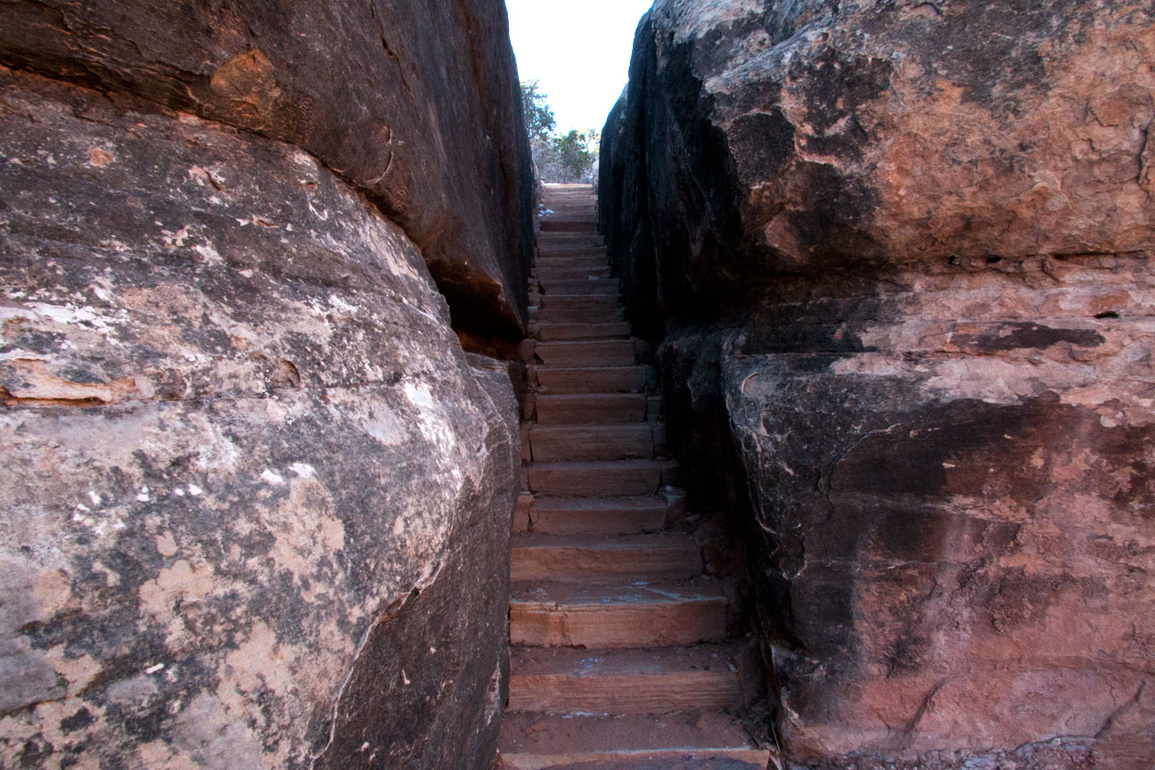
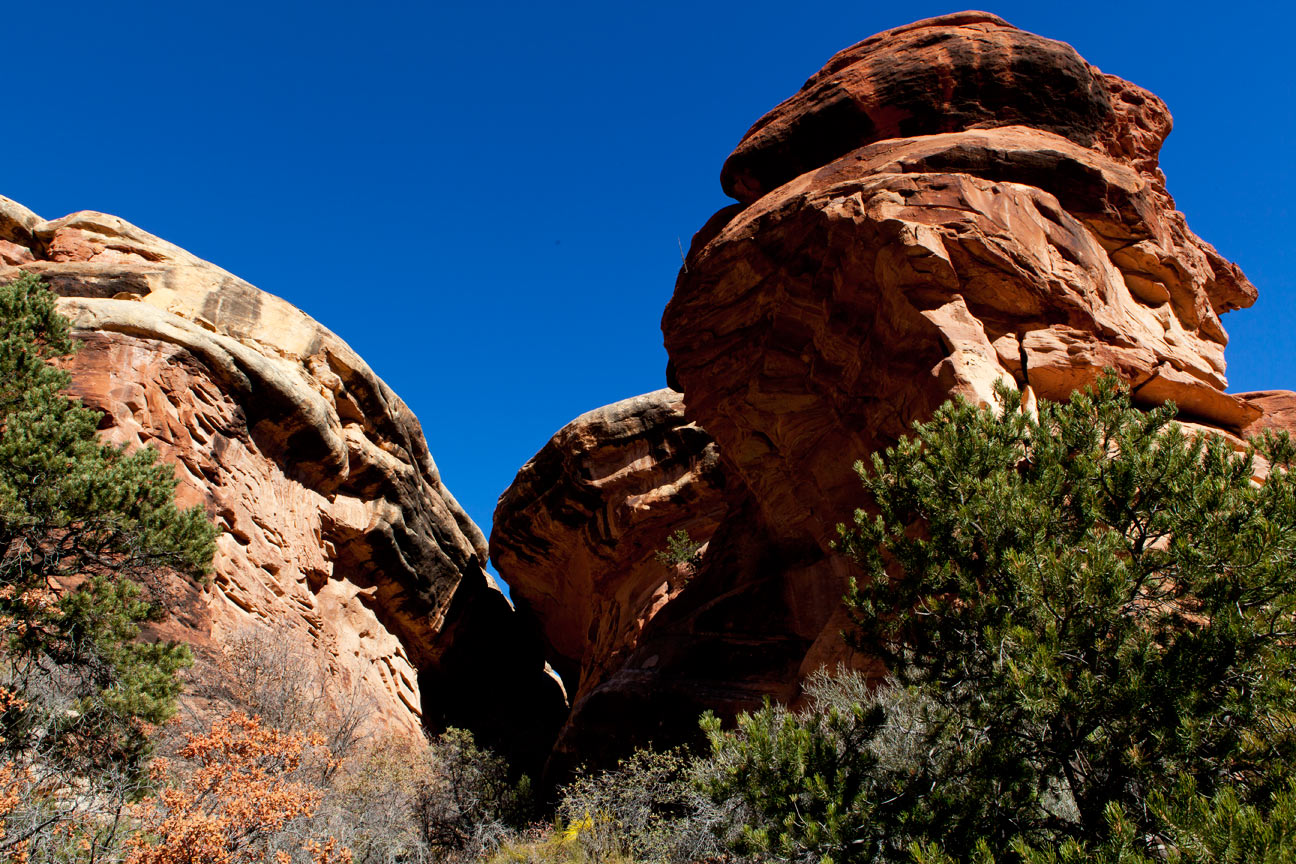
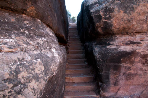
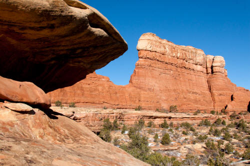
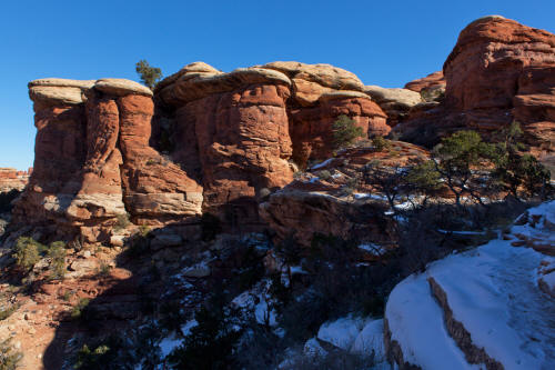
An entry portal thru Cedar Mesa Sandstone encountered in the initial 150 foot climb at the
trailhead on The Chesler Park Trail.
1
|
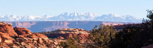 |
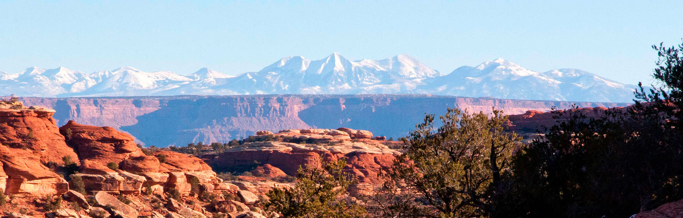
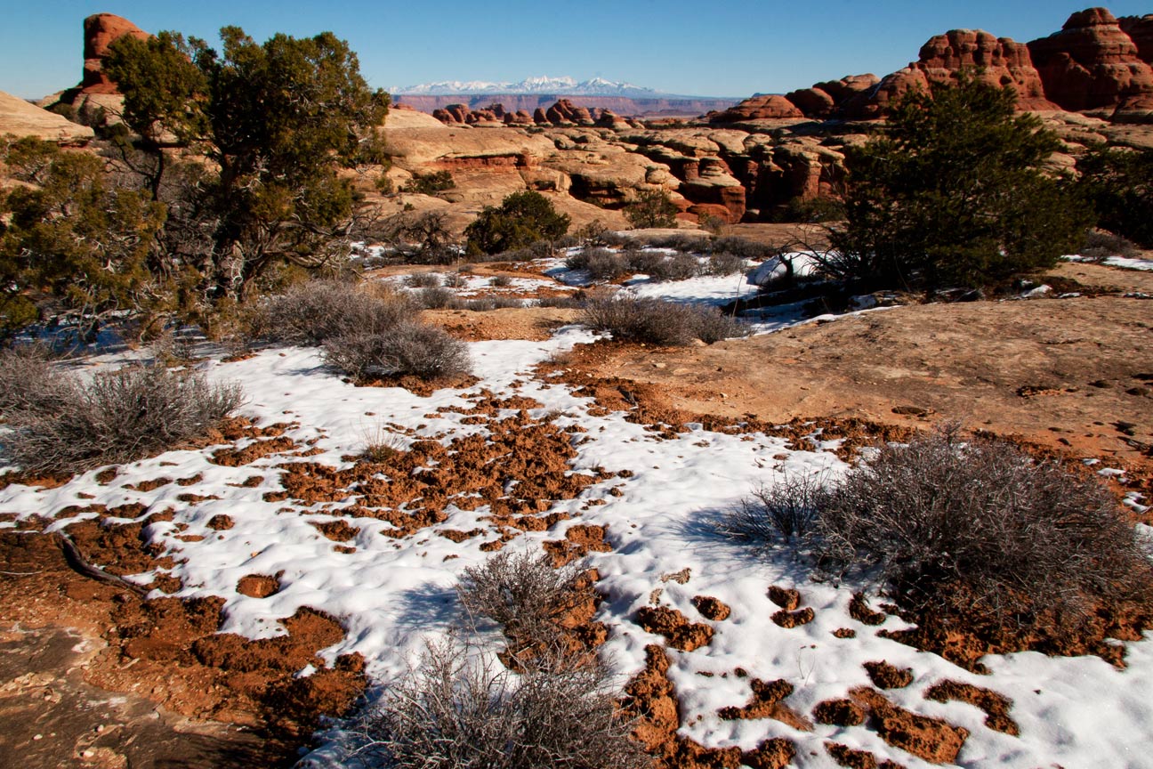
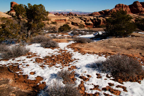
Zoomed view to the La Sal Mountains from near the
trailhead to The Chesler Park Trail.
2
|
 |
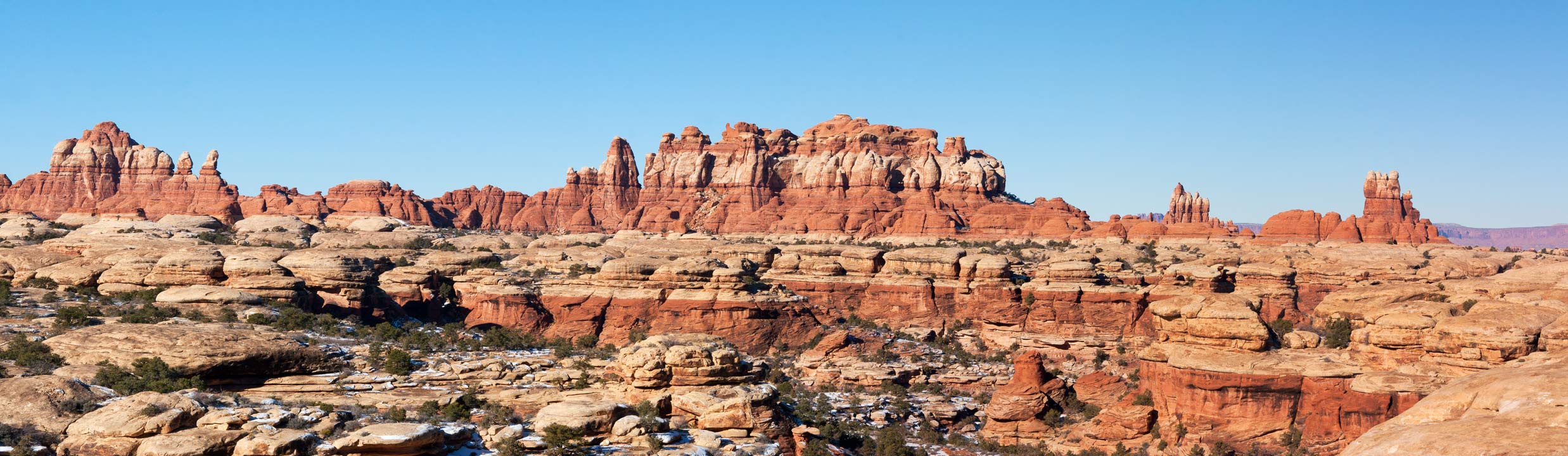
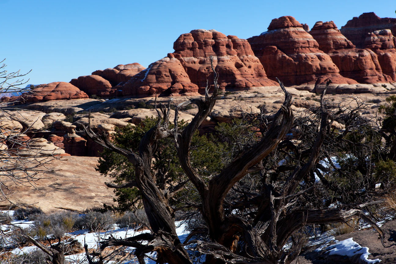
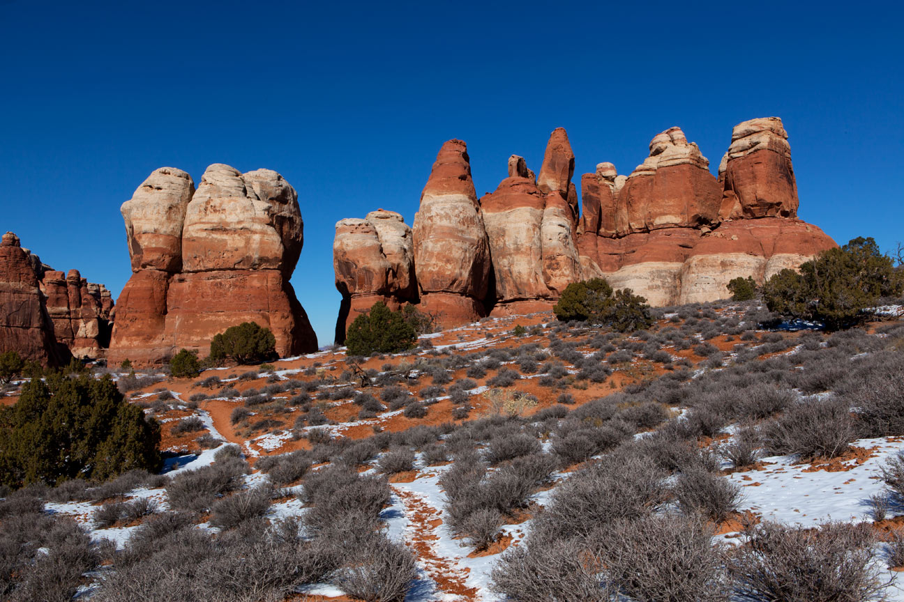
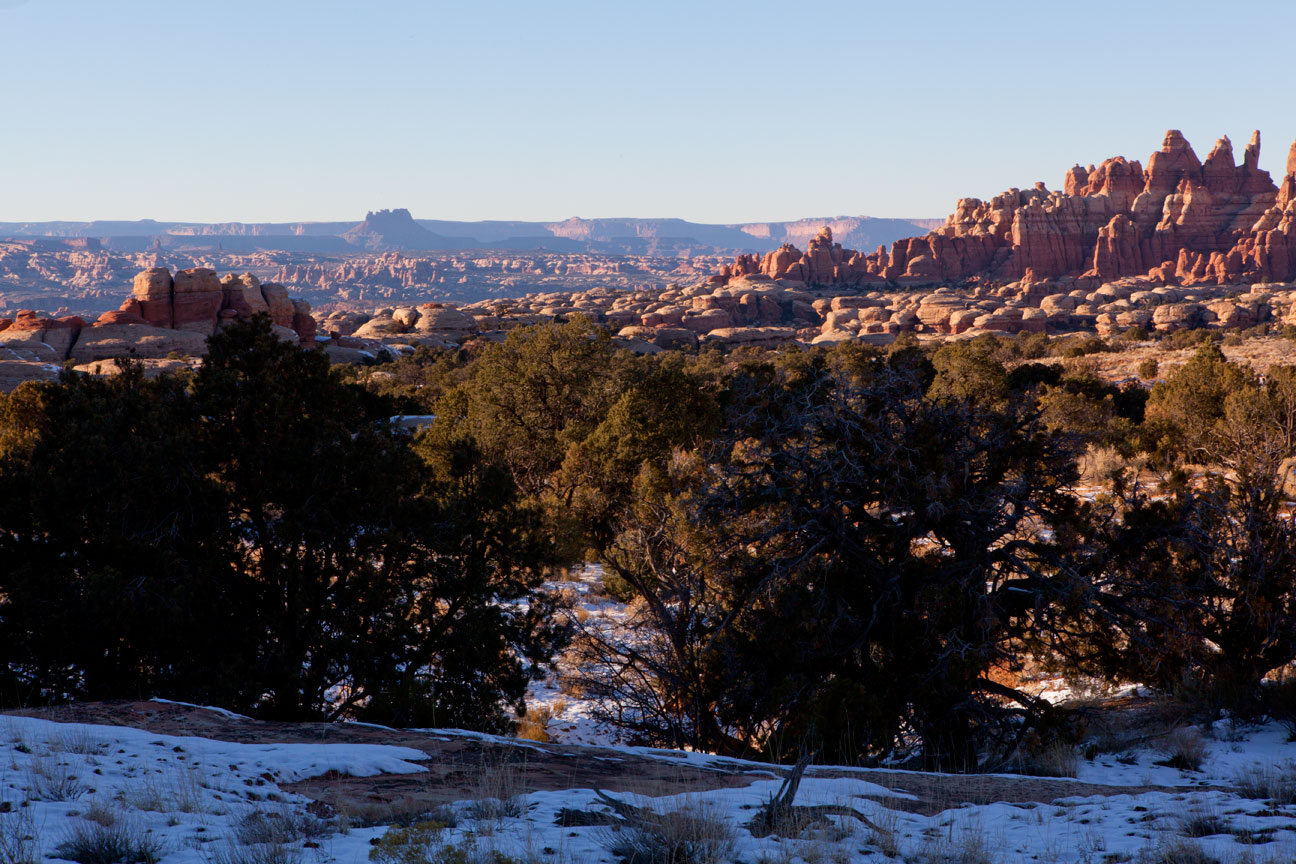
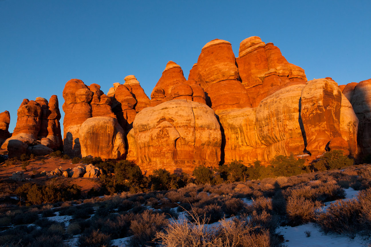
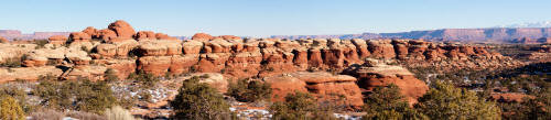
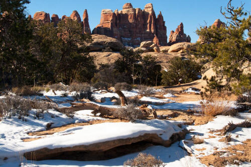
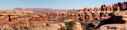
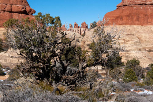
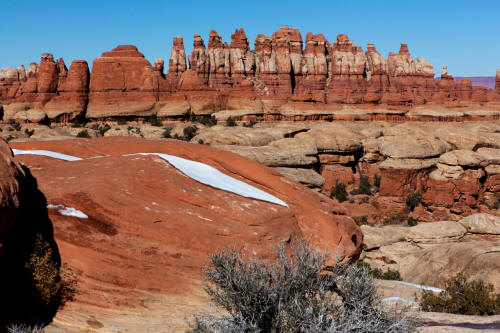
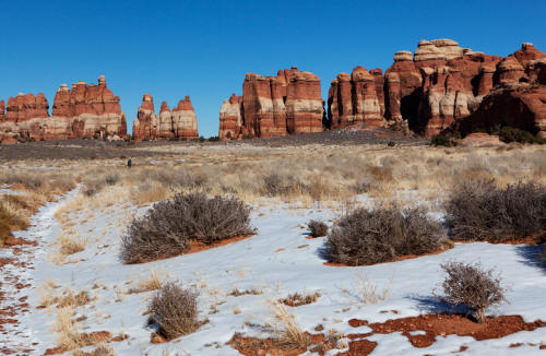
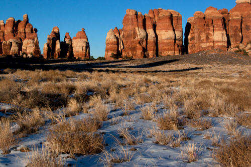
Parallel runnng Cedar Mesa Sandstone fins seen in the first part of the hike on The Chesler Park Trail.
3
|
 |
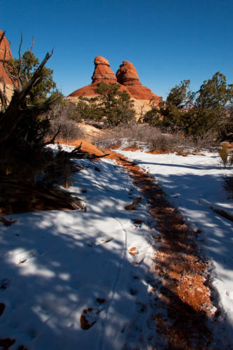
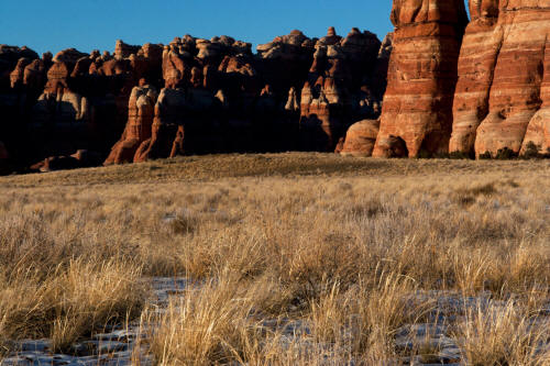
View looking northeast after the intial 100 foot climb back toward
the tailhead. Similarly shaped repeating Cedar Mesa Sandstone elements
form the northwest wall of this drainage.
4
|
 |
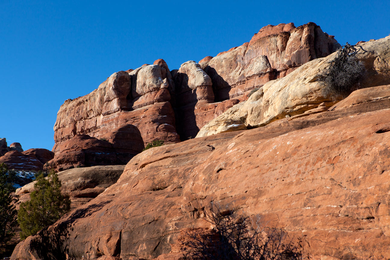
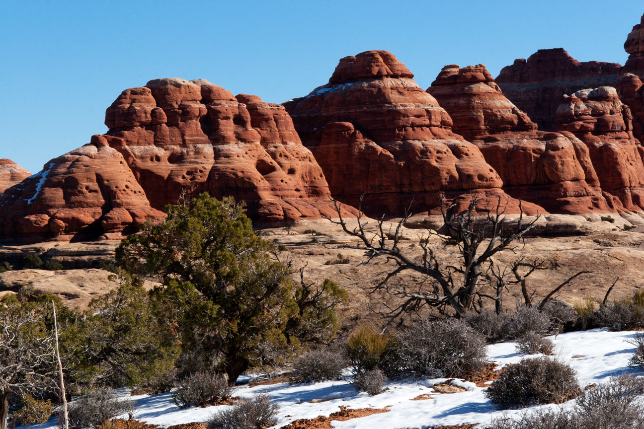
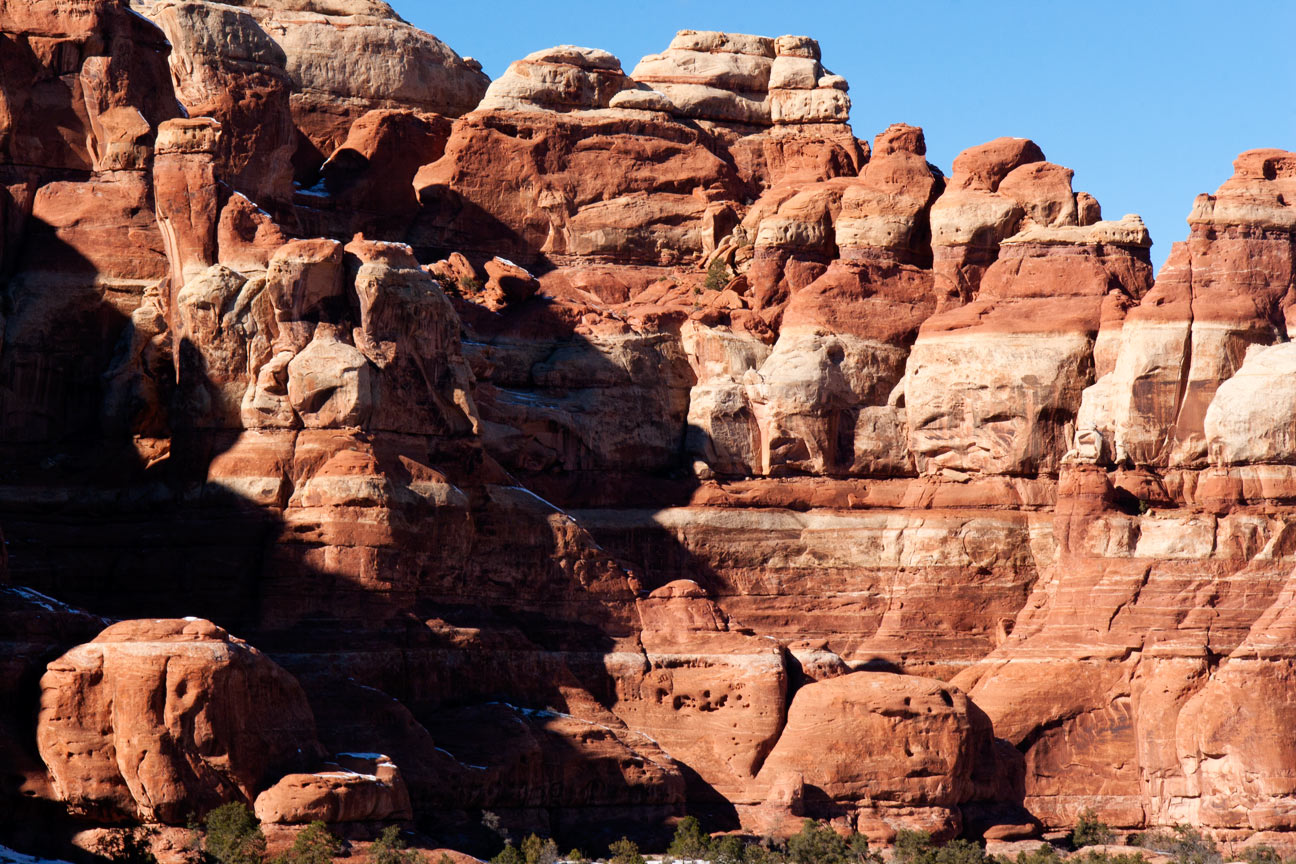
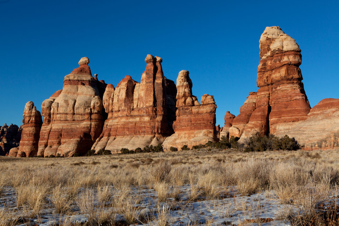
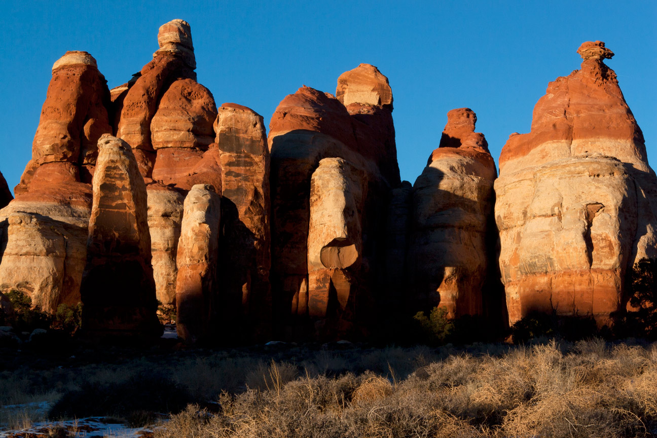
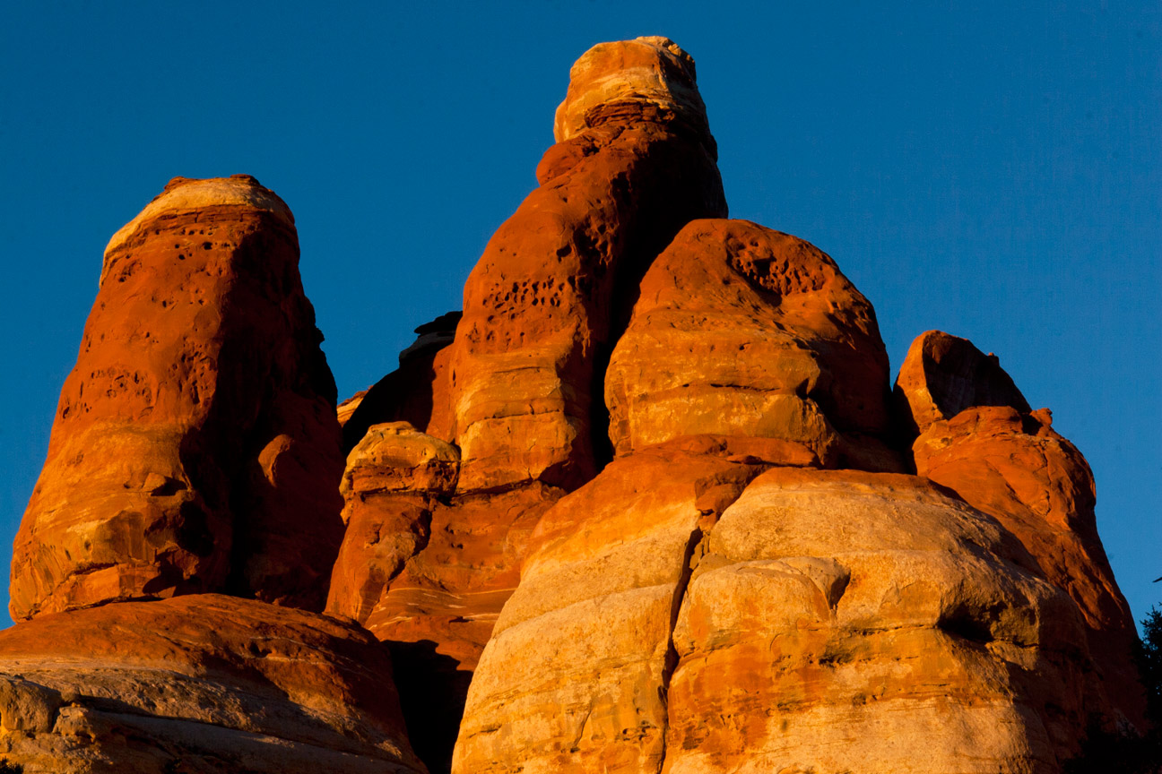
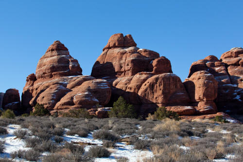
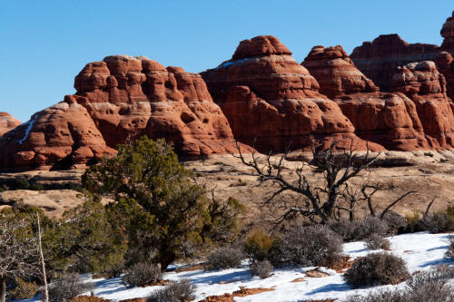
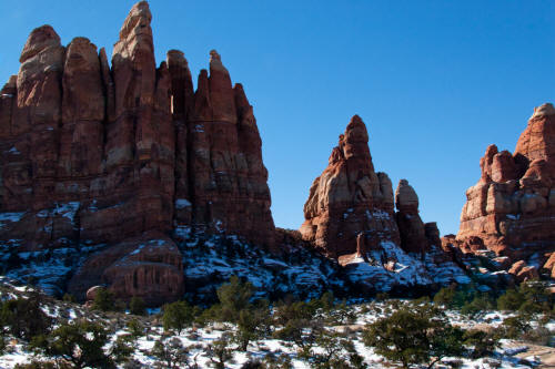
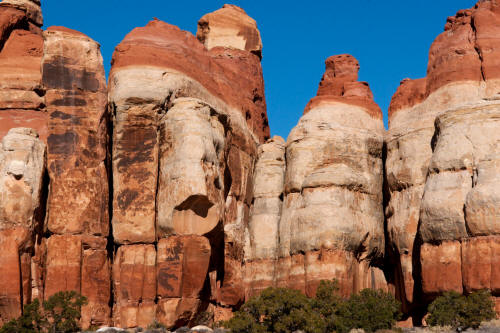
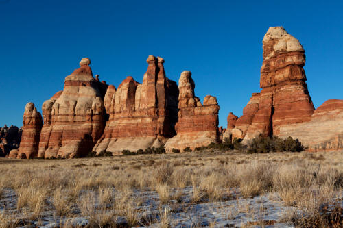
Massive Cedar Mesa Sandstone fine seen early in The Chesler Park Trail.
5
|
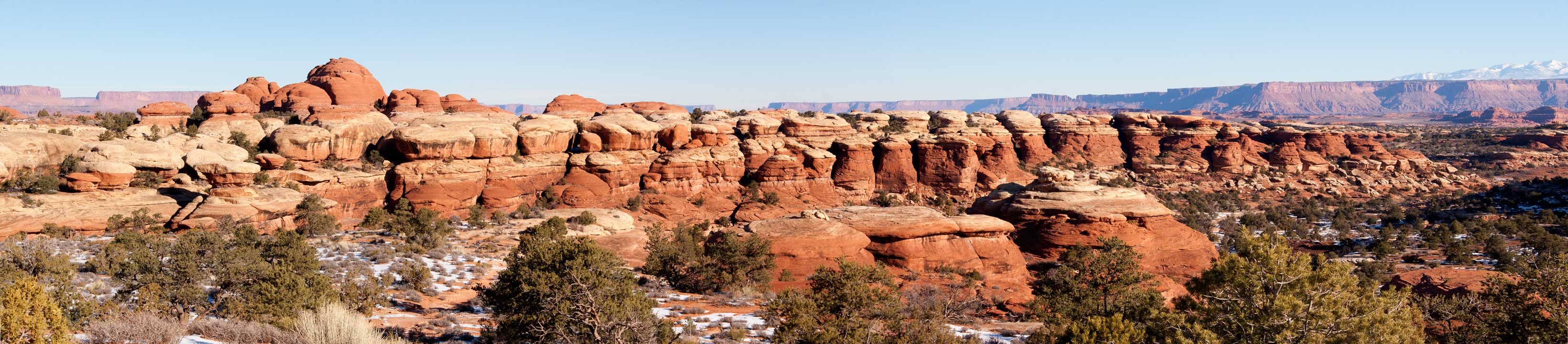
 |
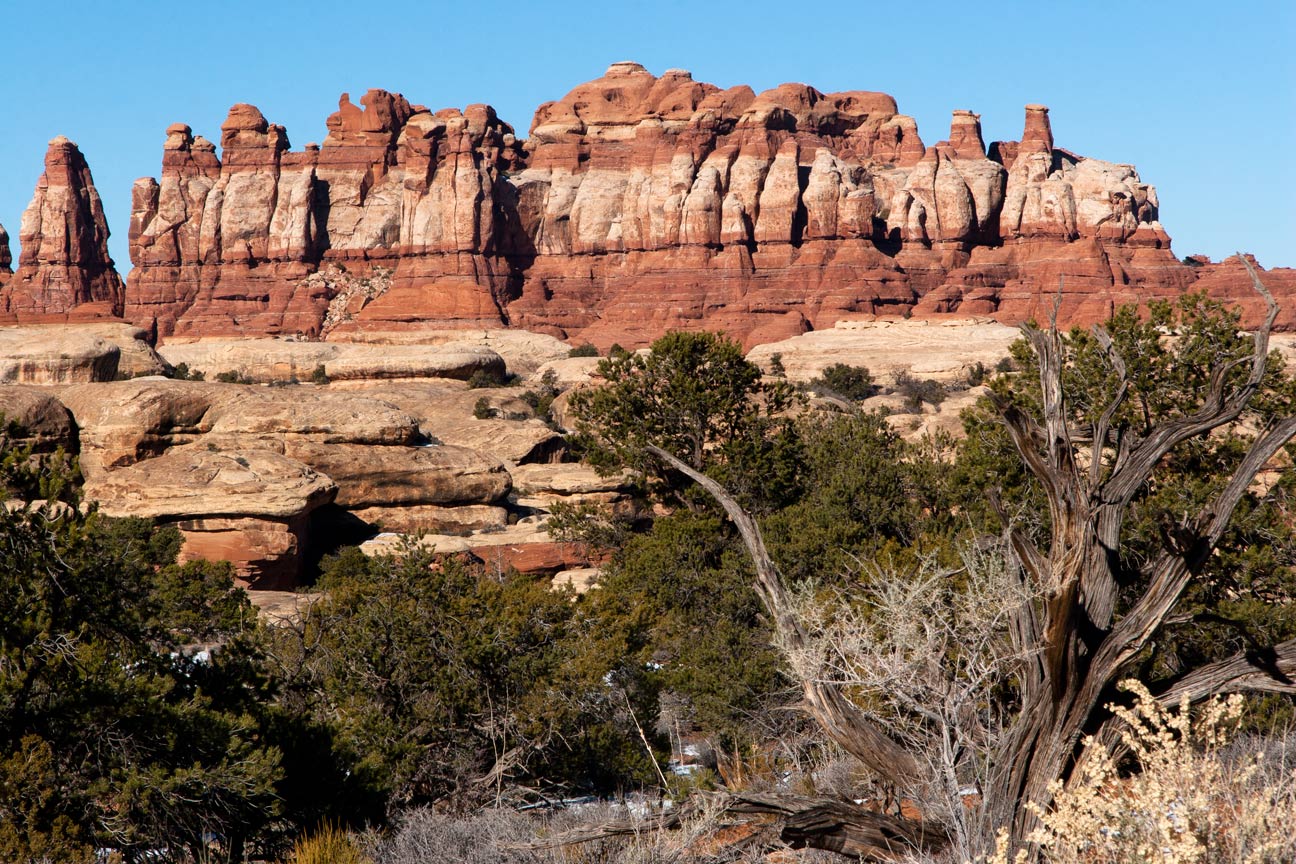
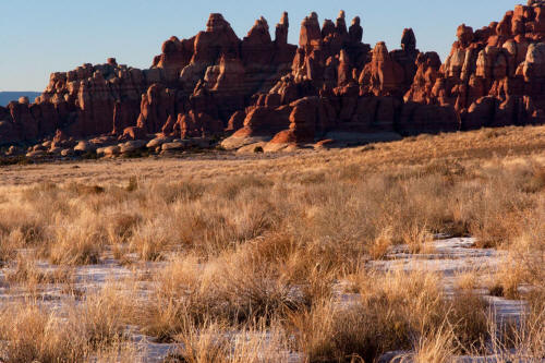
View looking northwest after after passing through the first set of
sandstone pylons on The Chesler Park Trail.
6
|
 |
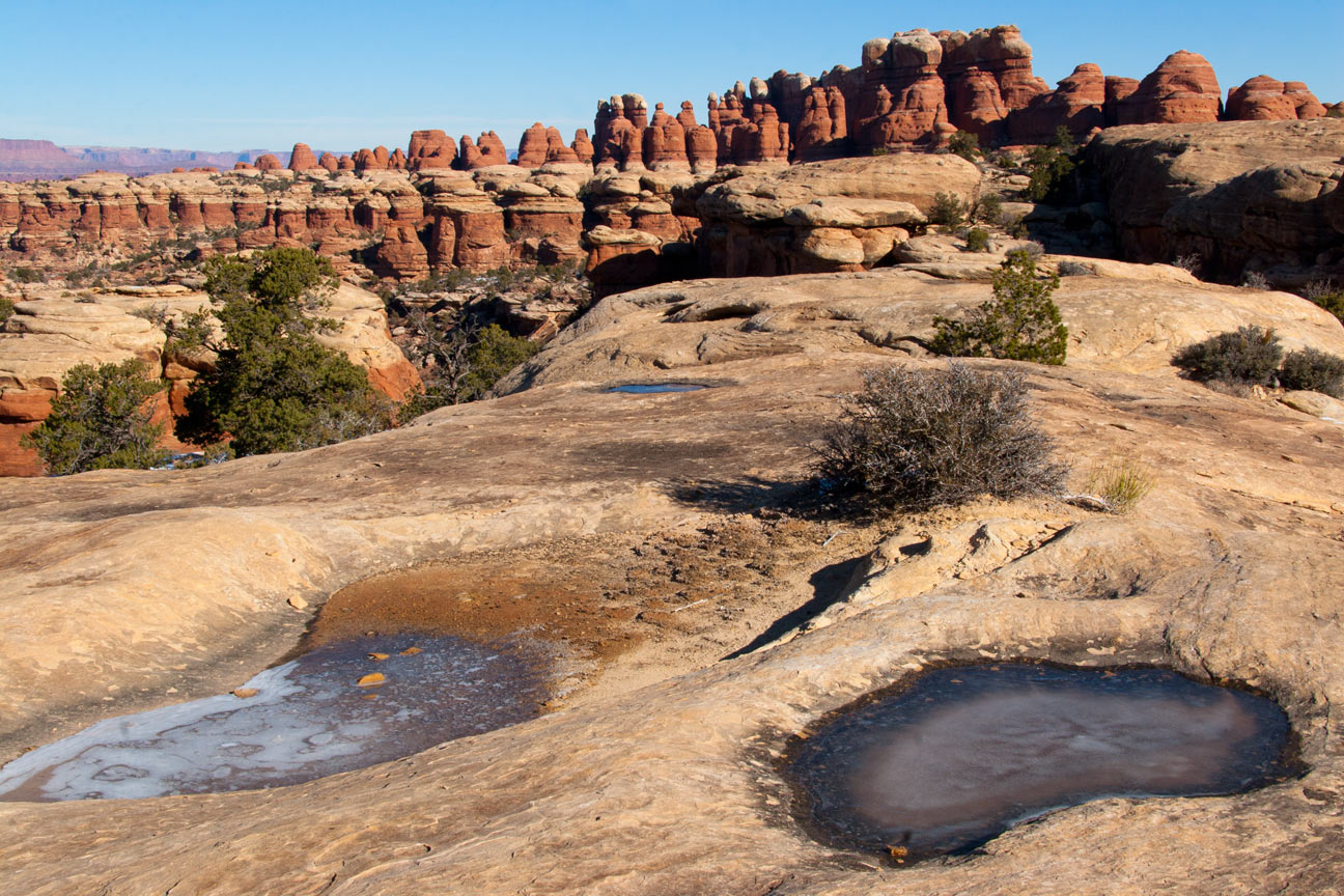
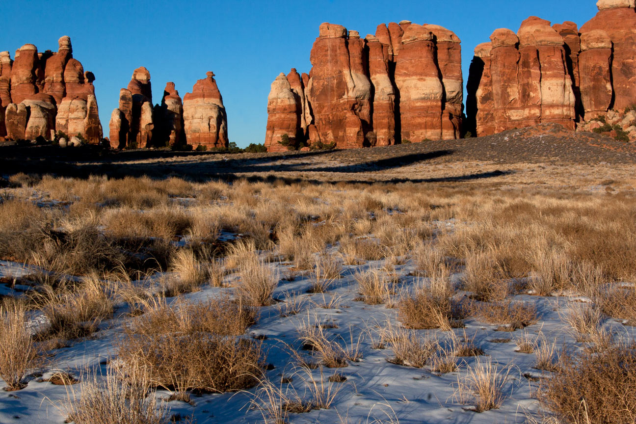
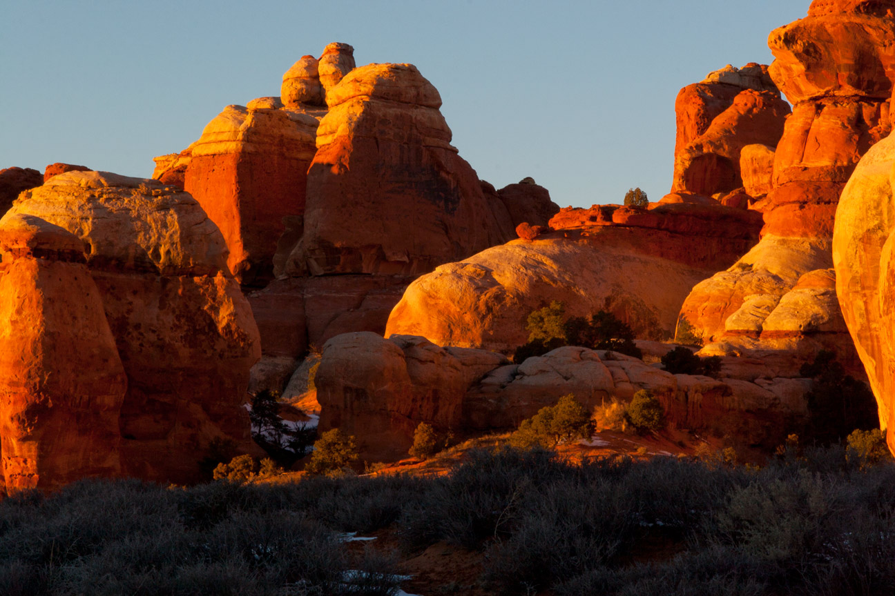
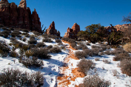
View looking south from The Chesler Park Trail in the second
enclosure.
7
|
 |
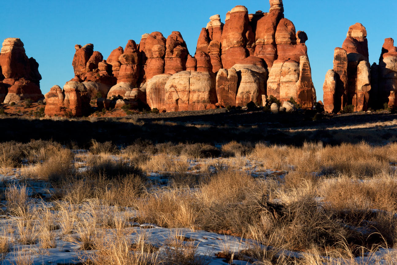
View looking southwest along The Chesler Park Trail just before The
Crack.
8
|
 |
View looking northeast from The Chesler Park Trail near The Crack.
La Sal Mountains on the horizon.
9
|
 |
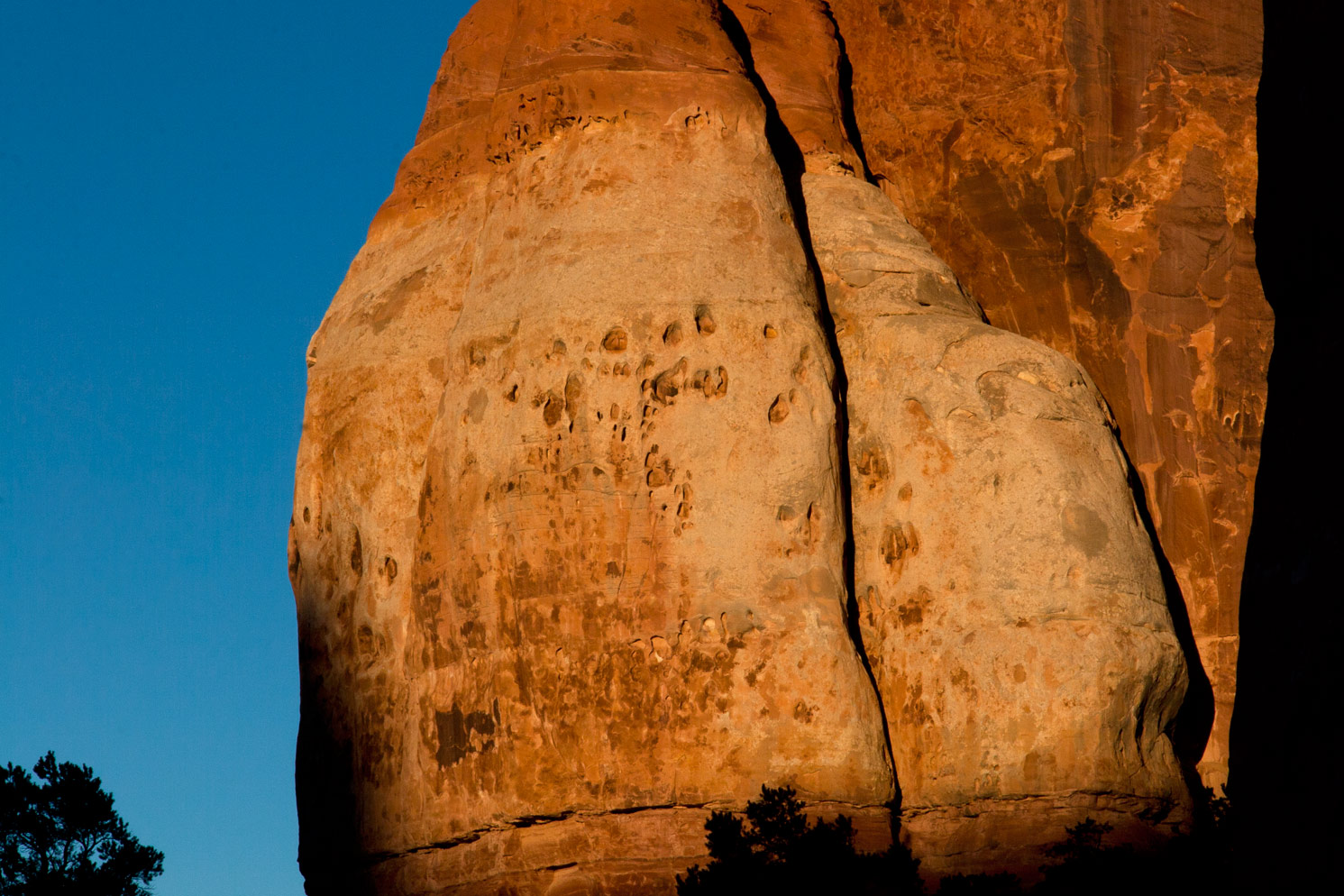
View looking north near The Chesler Park Trail opposite The Crack.
10
|
 |
View looking northwest near The Chesler Park Trail adjacent to The
Crack.
11
|
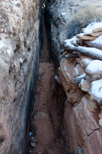 |
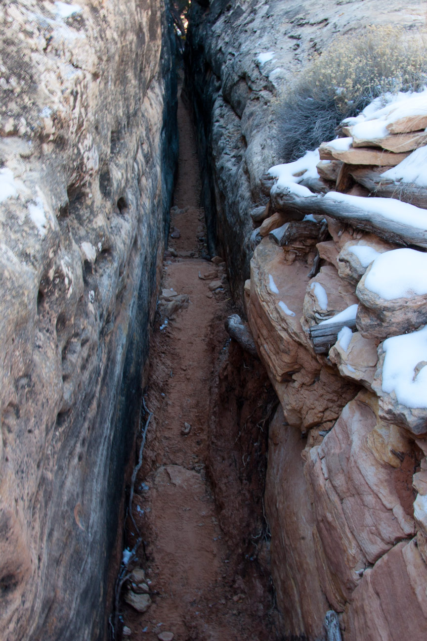
View south into The Crack on The Chesler Park Trail. This
narrow passage provides access to a decent route to a dry creek bed.
The creek must be crossed to regain elevation to a higher bench that
leads to the entry point into Chesler Park. Do not confuse this
narrow slot for The Joint Trail. The Joint Trail is three
interesting miles farther.
12
|
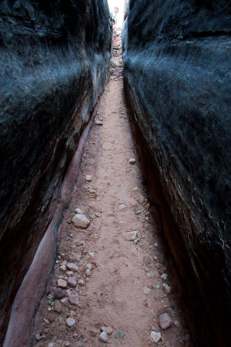 |
View looking north from inside The Crack. A scale figure
is just visible at the drop-in point.
13
|
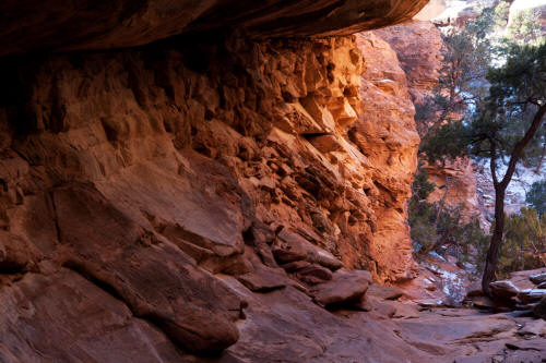 |
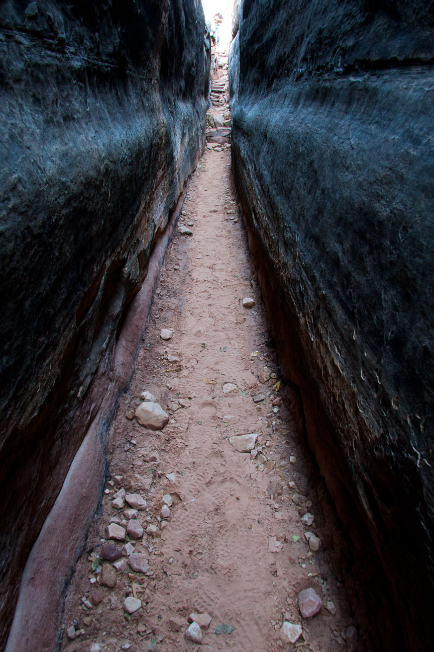
View is south after passing through the very narrow crack to softer
rock that has eroded into an almost cave or tunnel like formation.
Chesler Park Trail.
14
|
 |
View generally north back toward the exit point from The Crack on The Chesler Park Trail..
The trail drops very steeply here to almost the elevation of the stream
bed. The trail can be seen in the image where footprints are
visible in the snow.
15
|
 |
View west after crossing the dry stream bed to the Cedar Mesa
Sandstone bench that must be climbed to access Chesler Park.
16
|
 |
View west on The Chesler Park Trail as you pass through solid rock
while reclimbing out of the dry stream bed.
17
|
 |
View northeast after regaining the elevation of the sandstne bench
adjacent to Chesler Park. La Sal Mountains on the horizon.
18
|
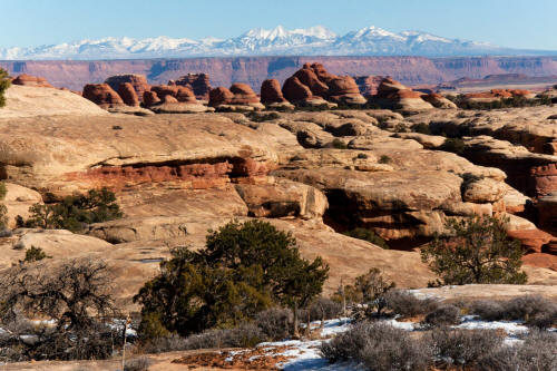 |
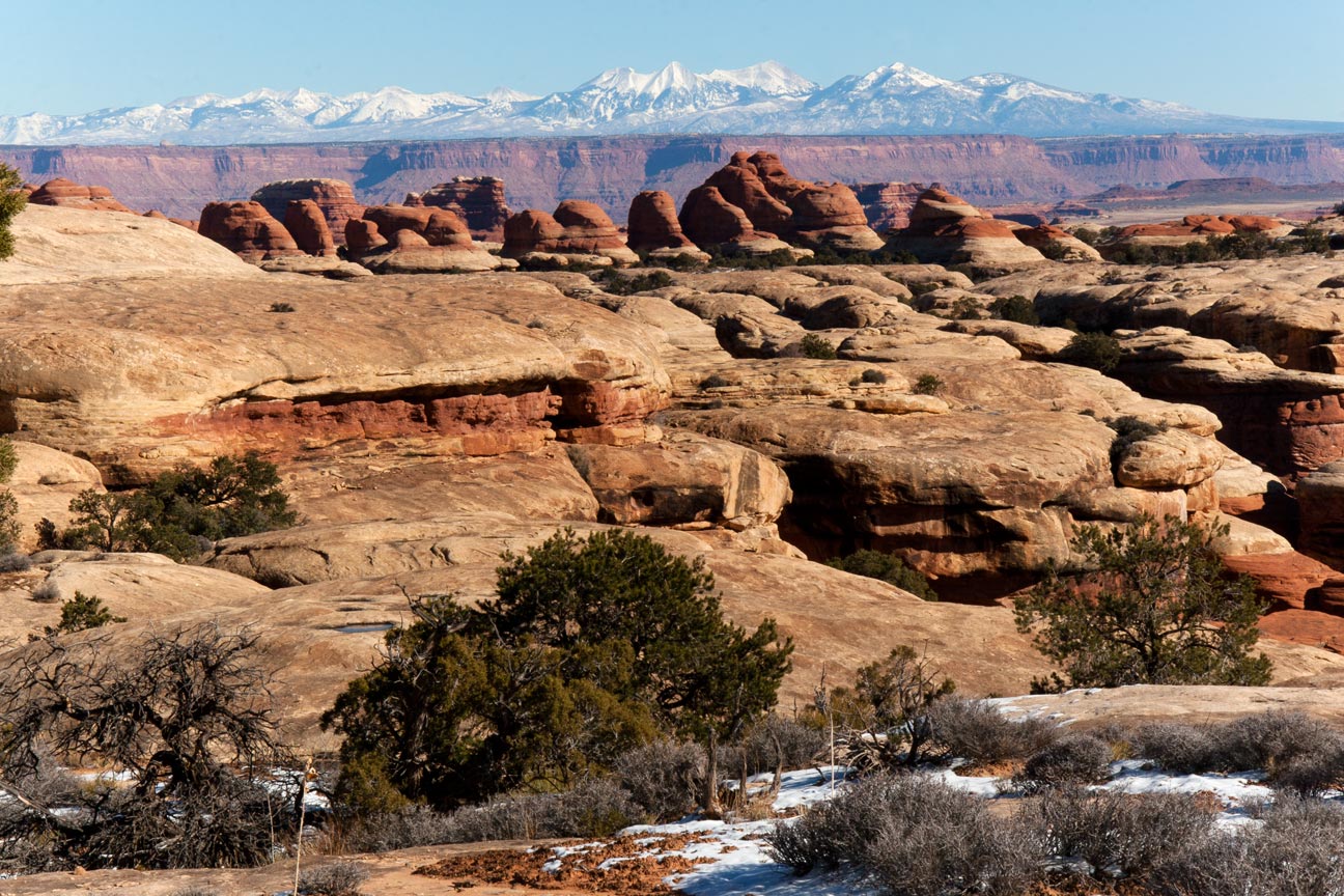
Zoomed view of previous image to the La Sal Mountains from near The Chesler Park Trail.
19
|
 |
View southwest on The Chesler Park Trail as it approaches Chesler
Park.
20
|
 |
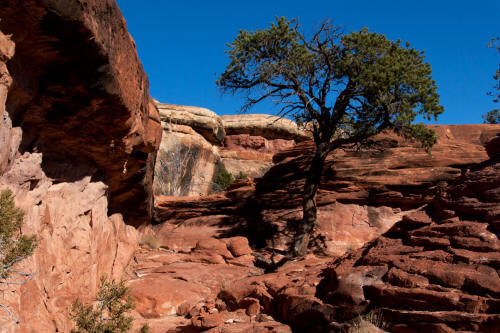
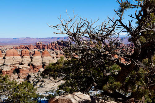
A good juniper tree along The Chesler Park Trail.
21
|
 |
View southeast to a juniper trunk and Cedar Mesa Sandstone pylons
along The Chesler Park Trail.
22
|
 |
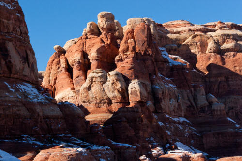
Close-up view of Cedar Mesa Sandstone Pylons along The Chesler Park Trail.
23
|
 |
View northwest to classic Cedar Mesa Sandstone Needles from along The Chesler Park Trail.
24
|
 |
View southwest from The Chesler Park Trail looking directly at the portal to Chesler Park.
25
|
 |
View northwest from The Chesler Park Trail to classic Cedar Mesa Sandstone needles.
26
|
 |
View southwest from the approach bench on The Chesler Park Trail to
the access portal to Chesler Park. The portal is the gap between
the sandstone needles in the center of the image. In the range of a
200 foot climb from this spot to pass through the portal.
27
|
 |
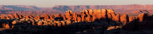
Zoomed view to the northwest during the climb up to Chesler Park.
The needles are massive and some are in the 300 to 400 foot tall range.
28
|
 |
Another view northwest from the climb up to the portal of Chesler
Park. The rocks are big.
29
|
 |
View northeast from the portal into Chesler Park. The climb up
to the portal is not hard but not easy either. With snow and some ice on
the trail at this time of year it is more difficult.
30
|
 |
View back toward the portal from inside Chesler Park. This
image was taken near the junction of The Chesler Park Trail and The
Chesler Park Loop Trail.
31
|
 |
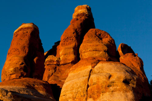
Close-up view of sandstone needles inside Chesler Park.
32
|
 |
View northeast from The Chesler Park Trail near the junction of a
cross-tie trail to the Druid Arch Trail.
33
|
 |
View northwest from the trail to the Cedar Mesa Sandstone needles
that form the western boundry of Chesler Park.
34
|
 |
Another view northwest along The Chesler Park Trail as it approaches
The Joint Trail.
35
|
 |
Zoomed view northwest from the drop in point of The Joint Trail in Chesler Park.
36
|
 |
Zoomed view west from the drop in point of The Joint Trail in Chesler Park.
The near horizon is The Maze District on the west side of The Colorado
River.
37
|
 |
View northwest from along The Chesler Park Trail near The Joint
Trail. Image taken an hour plus before sunset.
38
|
 |
View northwest form The Chesler Park Trail. Small portion of
the center section of sandstone needles on the right of the image.
38
|
 |
View west from The Chesler Park Trail. Image taken south of
the central pylons
39
|
 |
View north from along The Chesler Park Trail to the center section
of sandstone pylons.
40
|
 |
View northeast from just north of the center pylons on The Chesler Park Trail.
41
|
 |
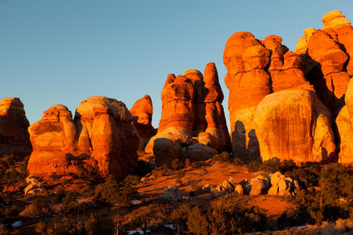
Another view northeast form along The Chesler Park Trail.
Image taken 45 minutes before sunset.
42
|
 |
View north from long The Chesler Park Trail.
43
|
 |
View north from long The Chesler Park Trail.
44
|
 |
Close-up of texture on the surface of the Cedar Mesa Sandstone
needles.
45
|
 |
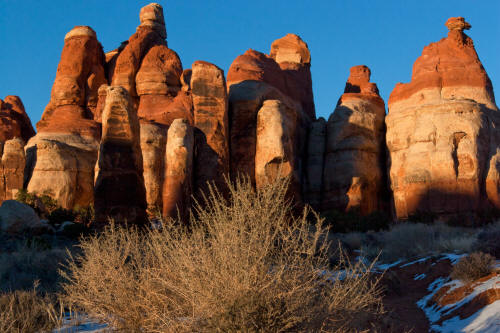
View northeast from along the northern section of The Chesler Park Trail.
Image taken 30 minutes before sunset.
46
|
 |
Another view northeast from along the northern section of The Chesler Park Trail.
Image taken 30 minutes before sunset.
47
|
 |
Close-up of Cedar Mesa Sandstone along The Chesler Park Trail.
48
|
 |
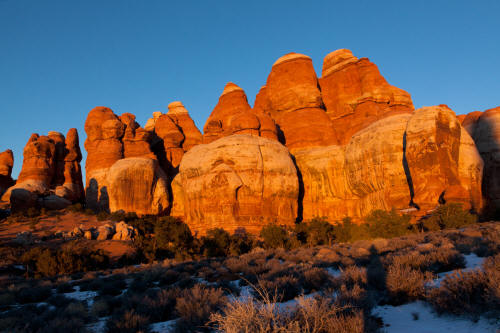
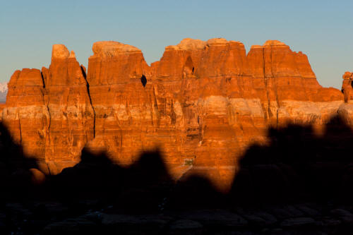
view northeast from along the northern section of The Chesler Park Trail.
Image taken 15 minutes before sunset.
49
|
 |
View east from The Gap in the Cedar Mesa Sandstone needles into
Elephant Canyon.
50
|
 |
View northeast from The Gap in the Cedar Mesa Sandstone needles into
Elephant Canyon. See the
November
2010 Trip Report for additional images.
51
|