 |
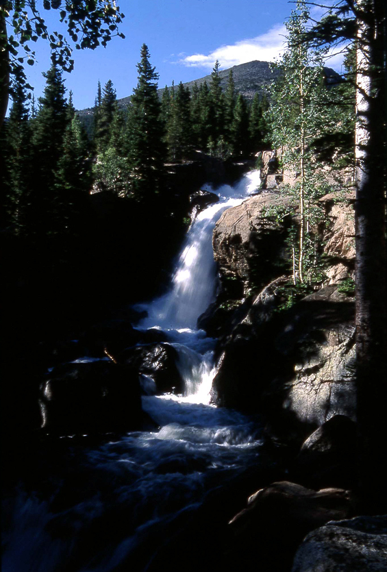
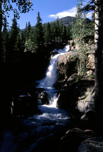
Alberta Falls along the Glacier Gorge Trail in Rocky Mountain National Park, CO.
1
|
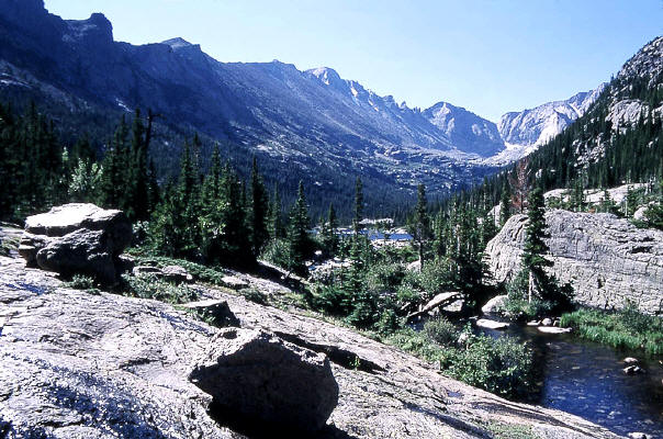 |
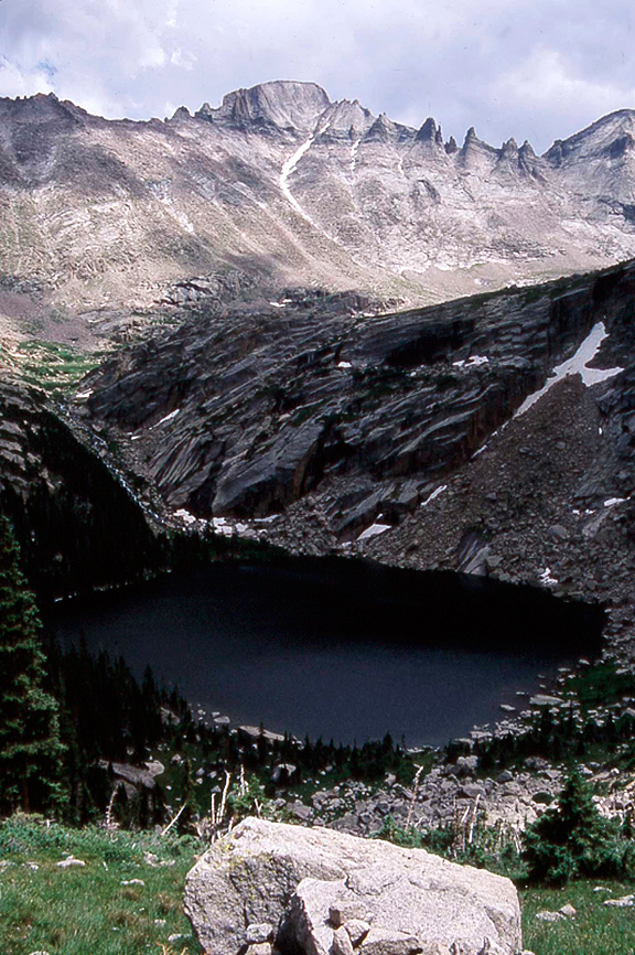
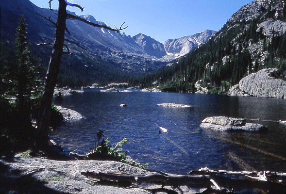
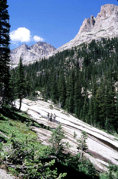
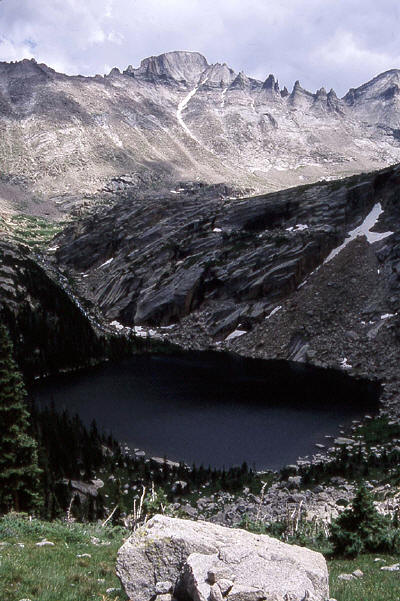
Mills Lake in Glacier Gorge from the trail to Black Lake. Long's Peak, Keyboard of the Winds, Pagoda Mountain and Spearhead visible in the distance.
2
|
 |
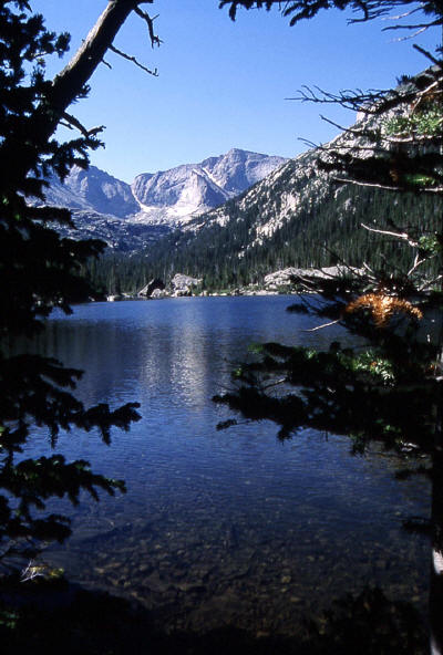
Mills Lake in Glacier Gorge from the trail to Black Lake.
3
|
 |
Mills Lake from along the trail to Black Lake. Chief's Head in the distance.
4
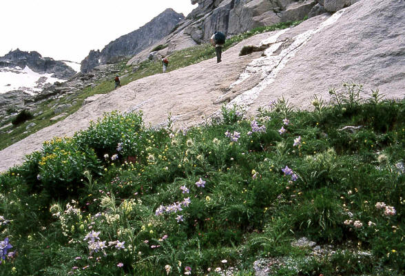
|
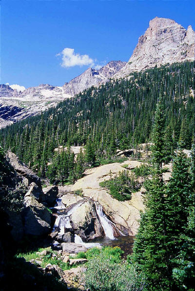 |
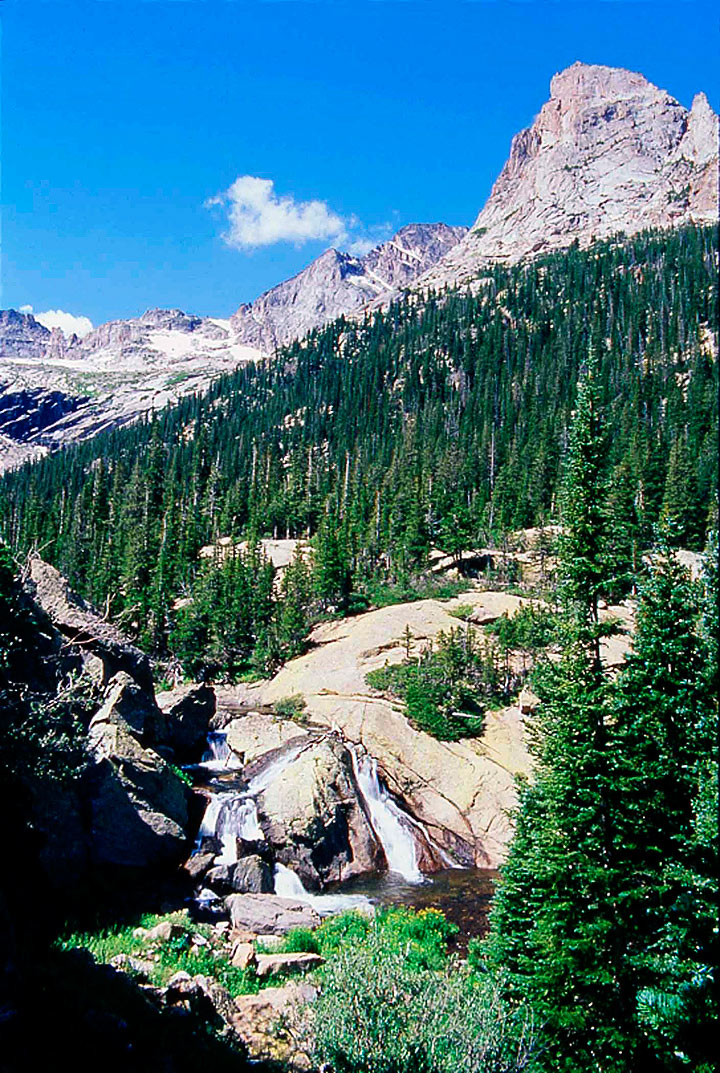
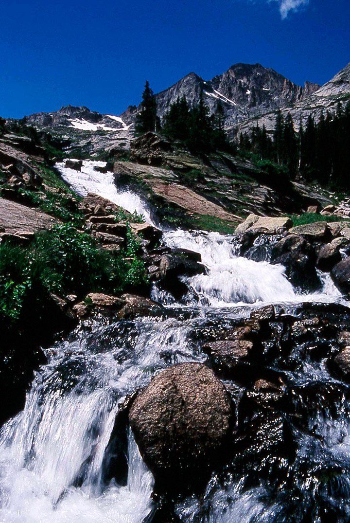
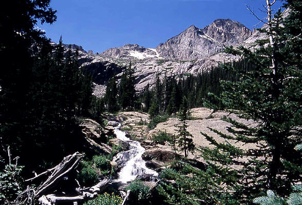
Waterfalls in Glacier Creek visible from along the trail to Black Lake. McHenry's Peak is now visible for the first time. Arrowhead on the right.
5
|
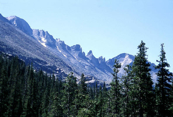 |
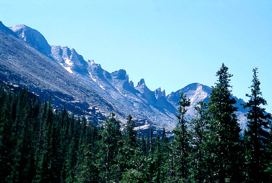
Zoomed view of Longs Peak, Keyboard of the Winds and Pagoda Mountain from along the trail to Black Lake.
6
|
 |
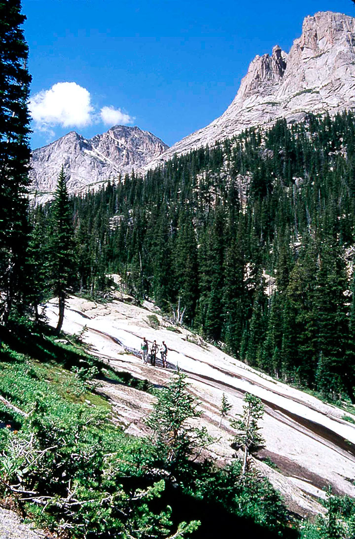
Fellow climbers standing next to Ribbon Falls on the trail to Black Lake. Arrowhead and McHenry's Peak visible on the horizon.
7
|
 |
Cascade along Glacier Creek on the trail to Black Lake.
8
|
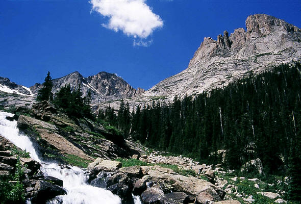 |
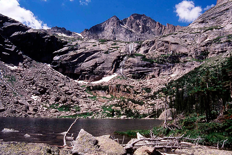
The cascade below Black Lake. Arrowhead on the right and McHenry's Peak on the horizon.
9
|
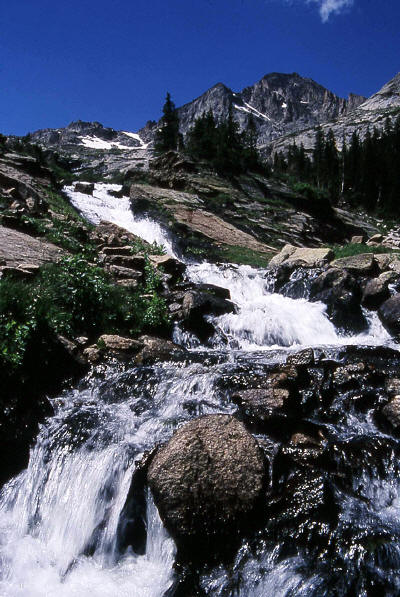 |
The cascade below Black Lake. McHenry's Peak is on the horizon.
10
|
 |
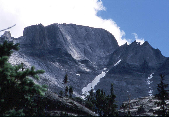
McHenry's Peak as seen from Black Lake. Image taken from the
rock shelf next to the outflow of the lake.
11
|
 |
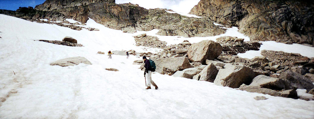
200mm zoomed view of Longs Peak from Black Lake. The lower part of the trough is still covered with snow in August.
12
|
 |
View down to Black Lake from the beginning of the rock bands at the base of Arrowhead. Longs Peak and Keyboard of the Winds on the horizon.
13
|
 |
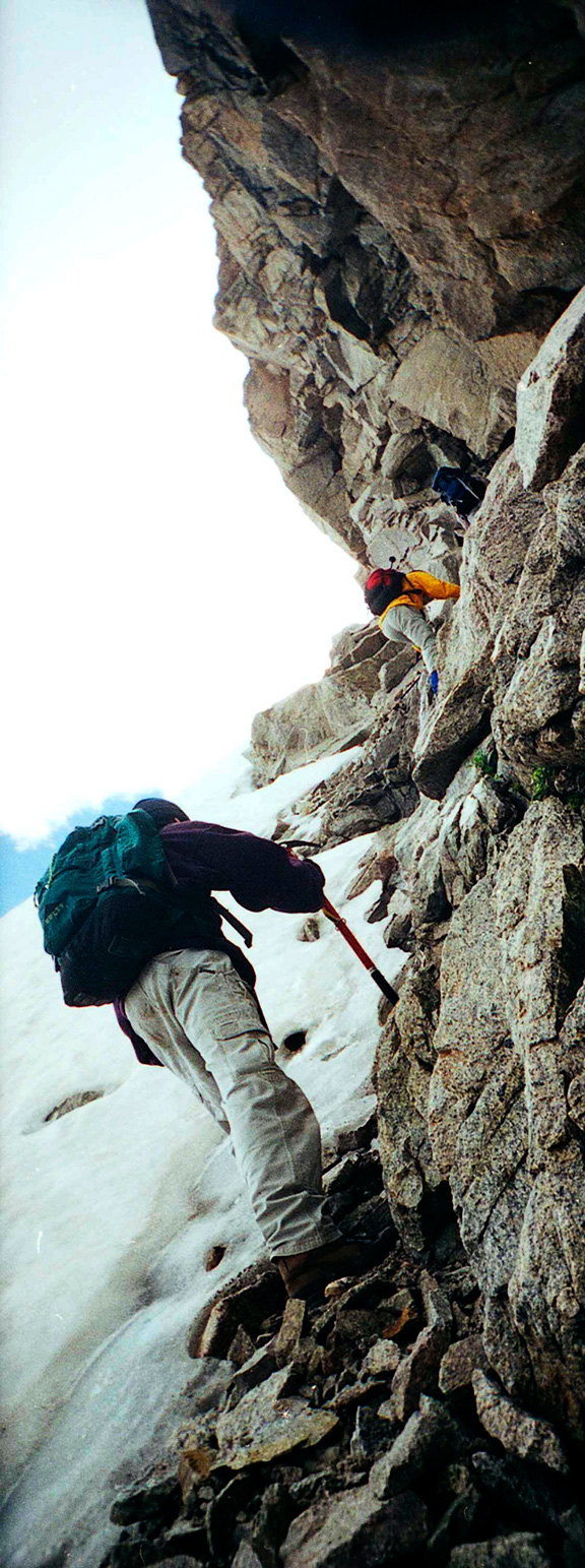
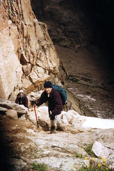
Negotiating the steep cliffs on the west side of Black Lake at the base of Arrowhead.
14
|
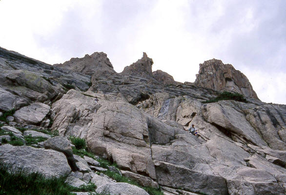 |
The rock band below Arrowhead. This twenty foot high band of granite has to be scaled to gain access to the shelf above Black Lake from the west side. Two climbers are visible at the top of the shelf.
15
|
 |
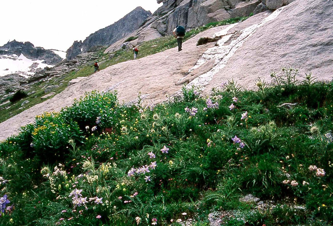
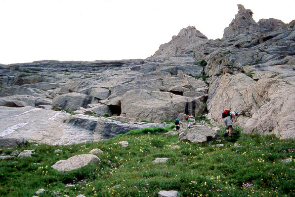
On the shelf above Black Lake with "The Stone Man" and "Stone Man Pass"visible in the distance. "Stone Man Pass" is the small snow triangle visible on the left horizon. "The Stone Man" is the very narrow and faint spire to the extreme left on the horizon.
16
|
 |
Approaching "Stone Man Pass" from the shelf above Black Lake.
|
| 17
|
 |
Climbing the coular to "Stone Man Pass". Rocky Mountain National Park.
|
| 18
|
 |
Topping out at "Stone Man Pass".
|
| 19
|
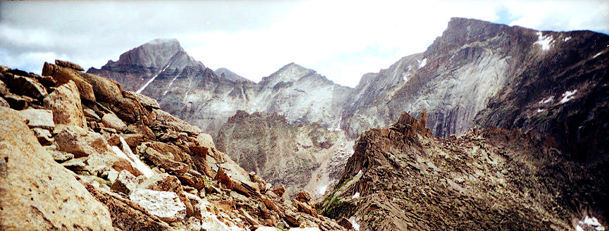 |
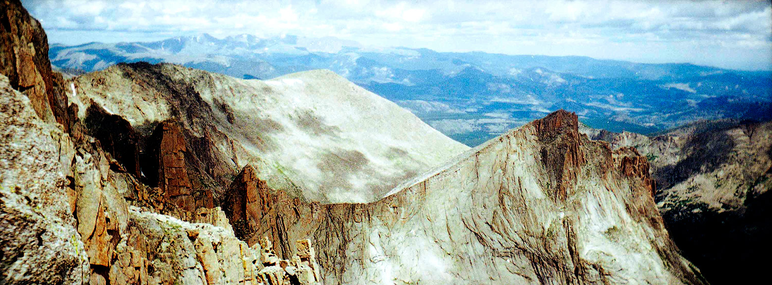
View from above Stone Man Pass from the south side. Long's Peak, Pagoda Mountain and Chief's Head on the horizon.
|
| 20
|
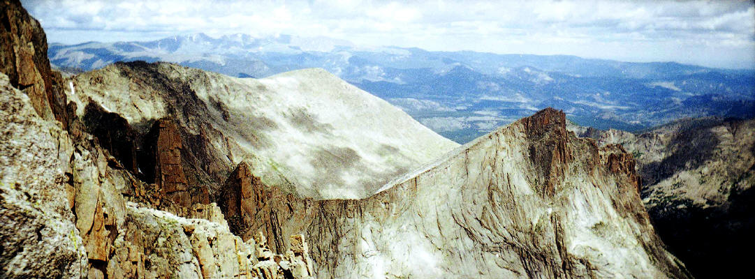 |
View looking north from a ridgeline approximately 400 feet below the summit. Arrowhead is on the right in the near distance. Thatchtop in the mid-ground view and the Mummy Range on the horizon.
|
| 21
|
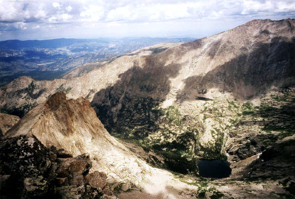 |
View from the summit of McHenry's Peak looking northeast. Black Lake is 2700 feet below in the lower right corner of the image.
22
|