|
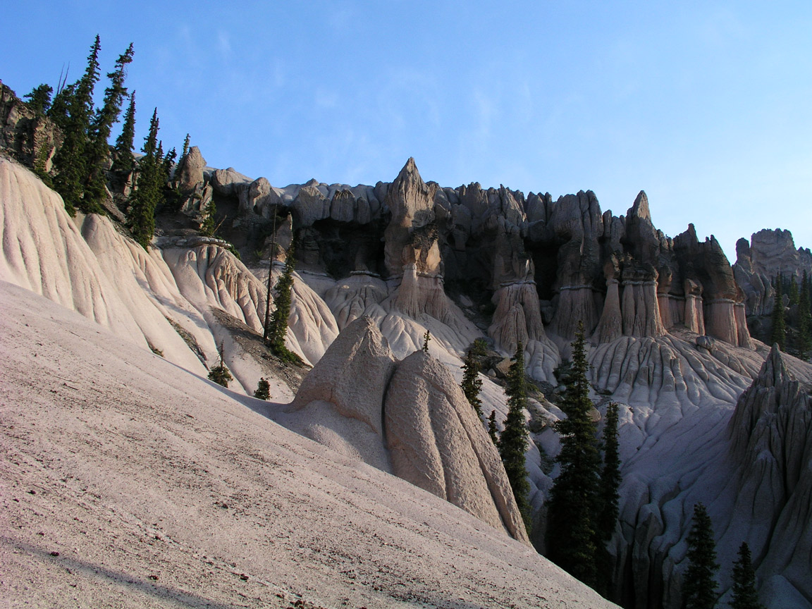
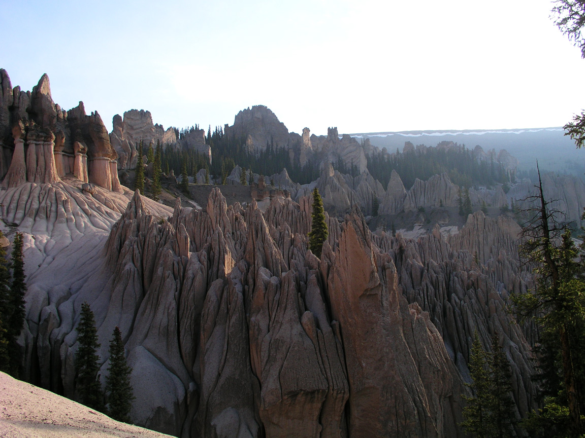
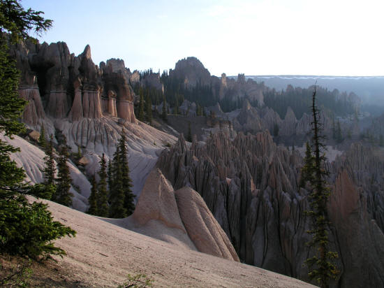
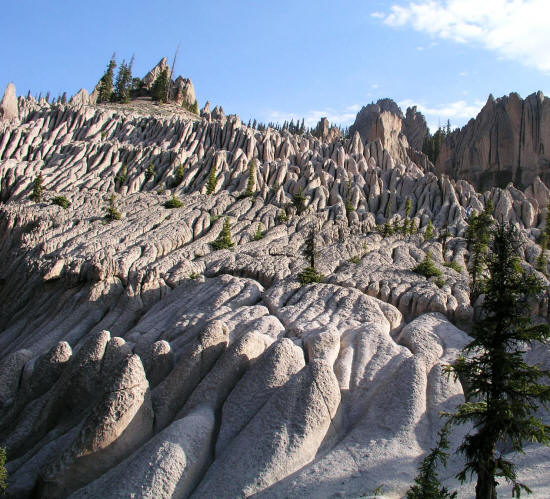
View generally north from the main overlook in Wheeler Geologic Area in the Rio Grande National Forest.
1
|
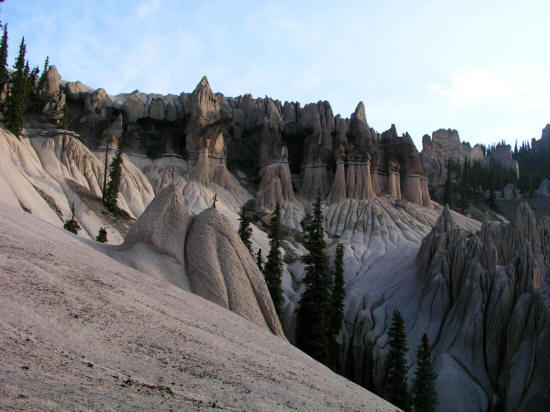 |
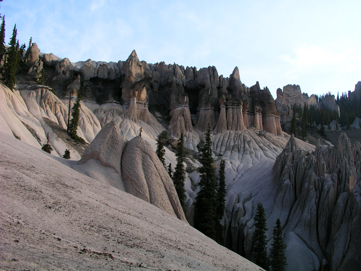
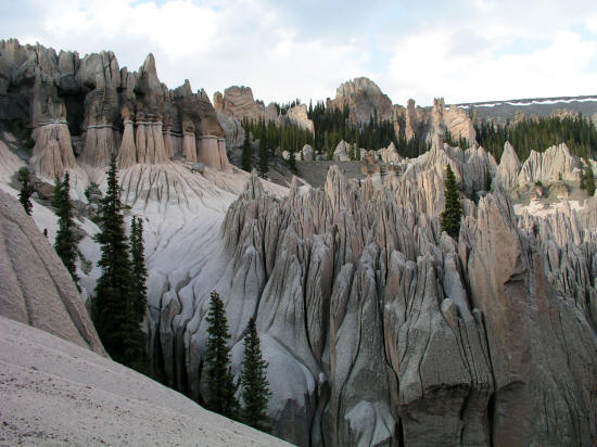
Panning slightly northeast from the main overlook in Wheeler Geologic Area in the La Garita Wilderness and Rio Grande National Forest.
2
|
 |
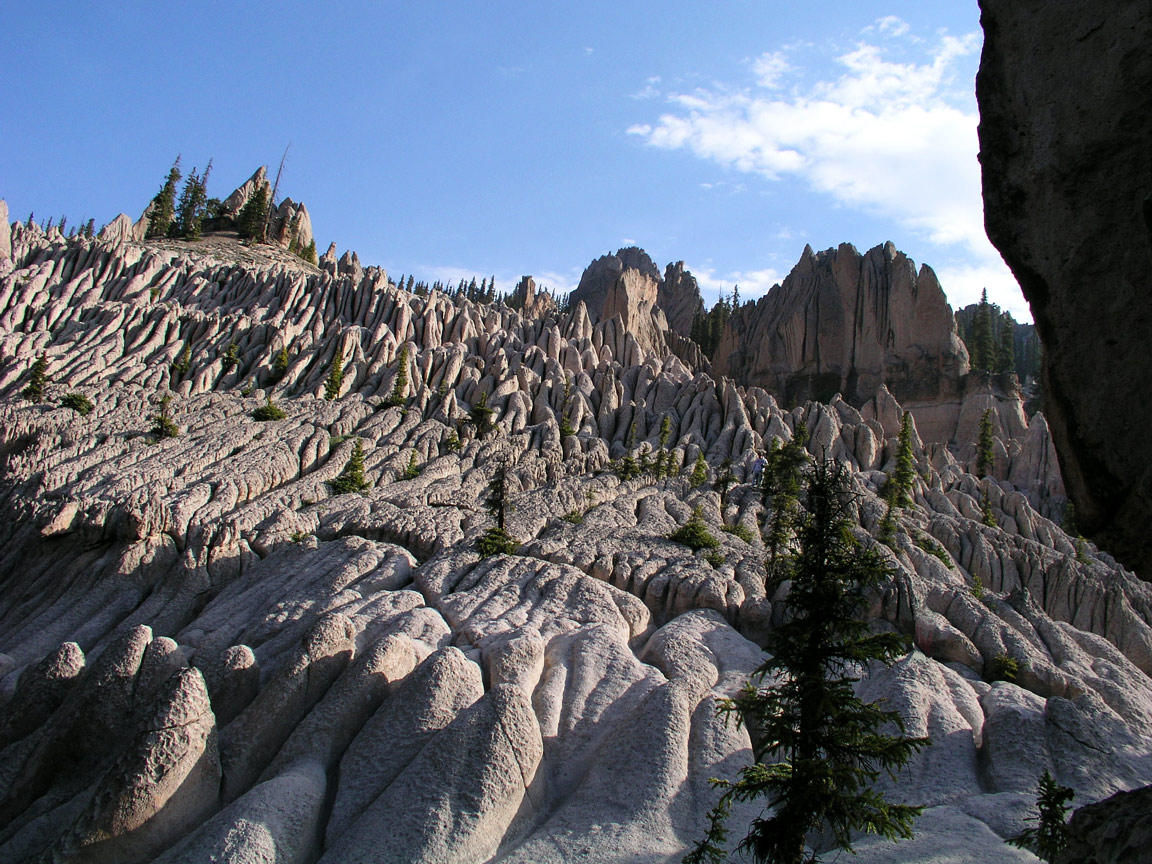
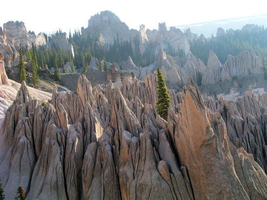
Continuing northeast from the main overlook in Wheeler Geologic Area in the La Garita Wilderness and Rio Grand National Forest near Creede, Colorado.
3
|
 |
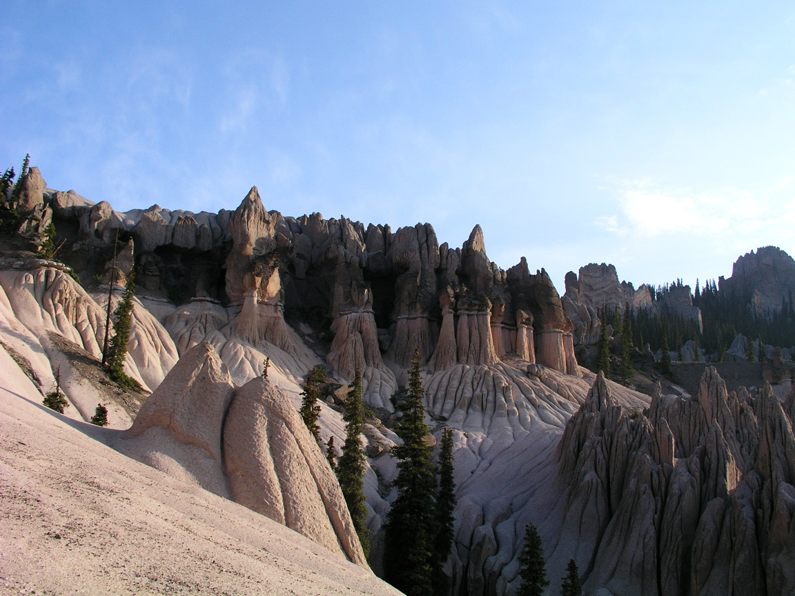
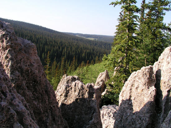
Looking northeast from the main overlook in Wheeler Geologic Area in the La Garita Wilderness and Rio Grand National Forest. This rock is formed from eroded volcanic ash
from the nearby La Garita Caldera.
4
|
 |
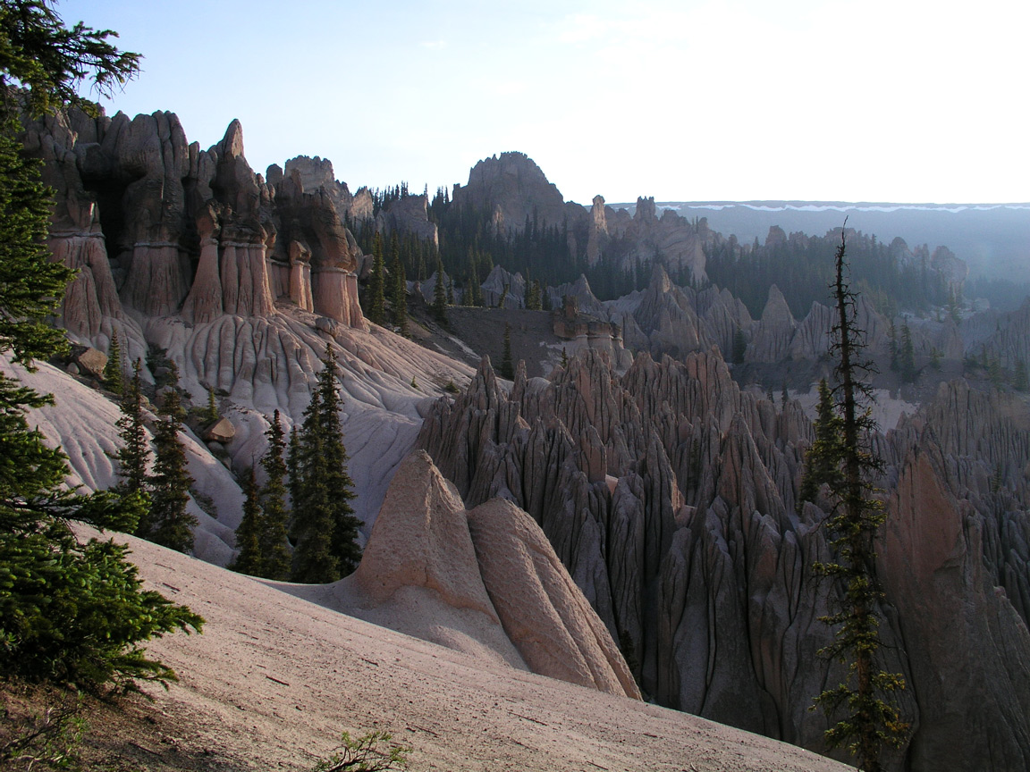
Wheeler Geologic Area area is accessed from a 14 mile long 4WD Forest Service Road. These formations were a National Monument designated in 1908 by Theodore
Roosevelt. Because of the areas isolation the National Park Service felt that it was unable to properly oversee the area and turned it over to
the National Forest Service.
5
|
 |
Wheeler Geologic Area is at 11,500 feet above sea level.
6
|
 |
Wheeler Geologic Area is named after Captain George Wheeler who explored the area for the U.S. Army in 1874.
7
|
 |
Zoomed view of eroded volcanic rock.
8
|
 |
The area has several very steep drop offs.
9
|
 |
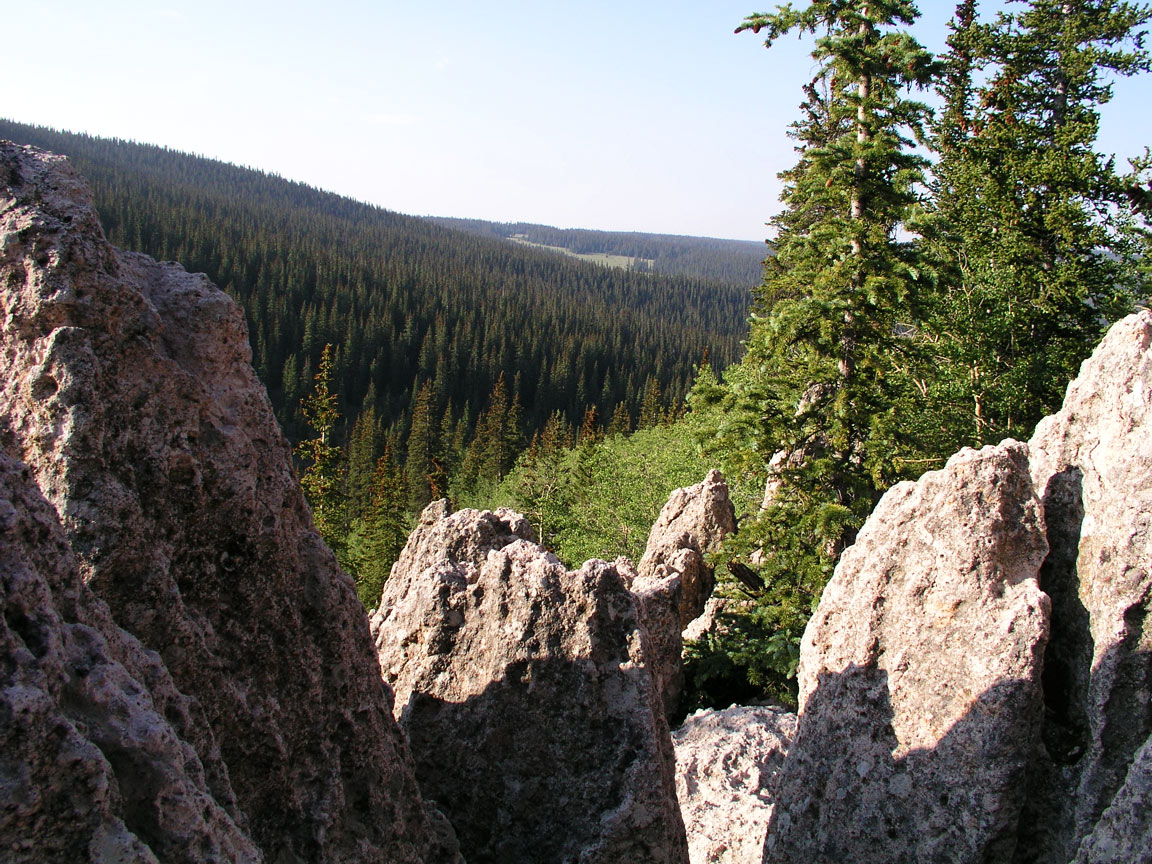
This is a view looking south from the rock formations toward the drainage that provides access to the area.
10
|
 |
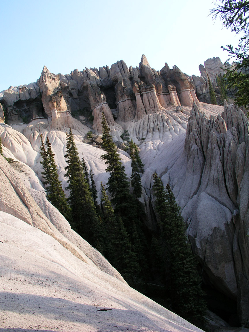
This is view looking generally north from a foot trail that circles the area.
11
|
 |
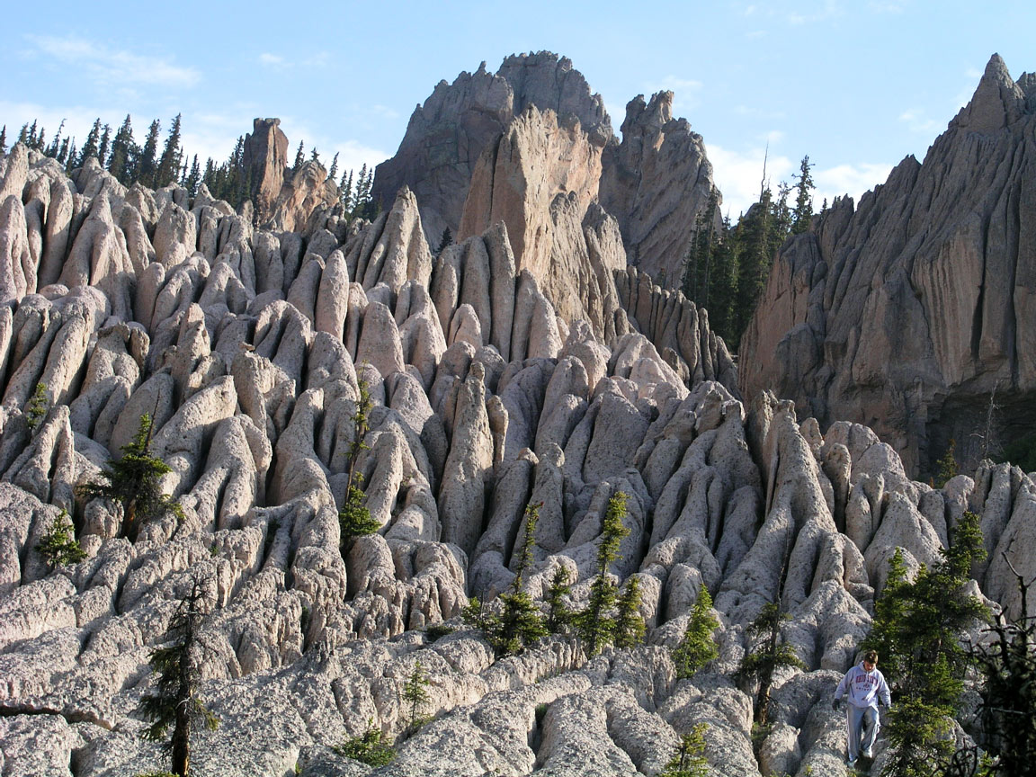
This is similar view looking generally north. There is a scale figure in the image at the top of the tree on the left.
12
|
 |
Zoomed view of previous image.
13
|
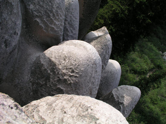 |
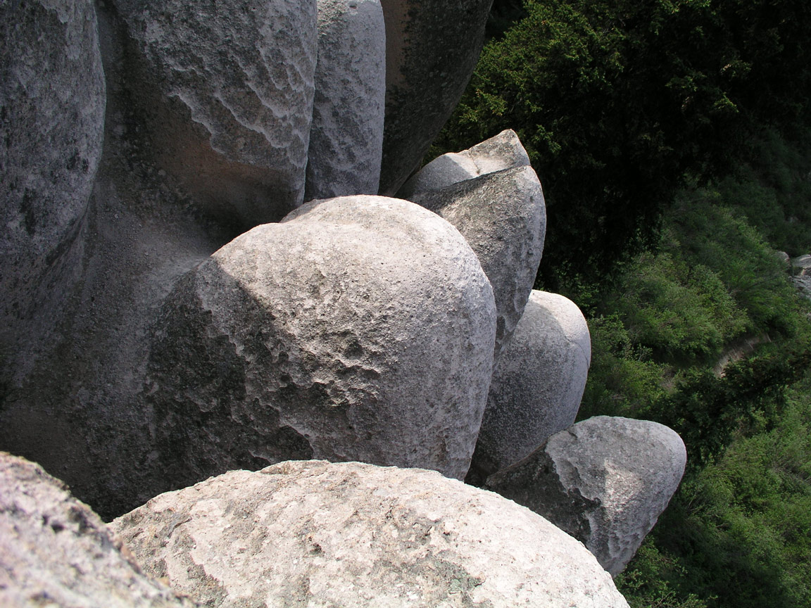
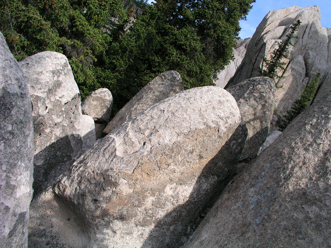
This is a view from inside a group of egg shapped rocks along the perimeter of the area.
14
|
 |
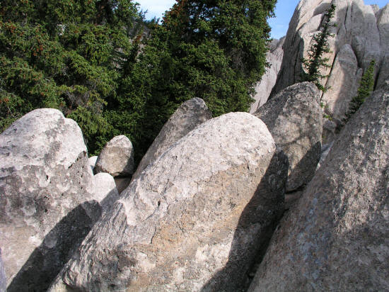
Another view from inside a labryinth of crevices in the egg shapped rocks.
15
|
 |
Another similar view from inside a labryinth of crevices in the egg shapped rocks.
16
|
 |
Another view looking down from inside a labryinth of crevices in the egg shapped rocks. This is not soft rock but hard very much like granite.
17
|
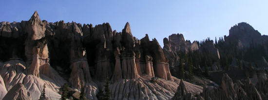 |
Panoramic view from the main overlook.
18
|
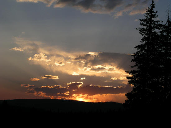 |
Sunset from the campground approximately half mile south and 500 feet below the main rock formations.
19
|