|
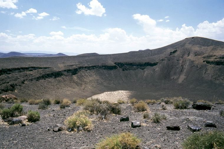
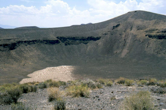
View looking generally south from the rim of Lunar Crater in central Nevada. Lunar Crater is a volcanic crater and not an impact crater.
This crater is approximately 435 feet deep & 3,500 feet in diameter.
1
|
 |
Slightly zoomed view looking generally south from the rim of Lunar Crater.
2
|
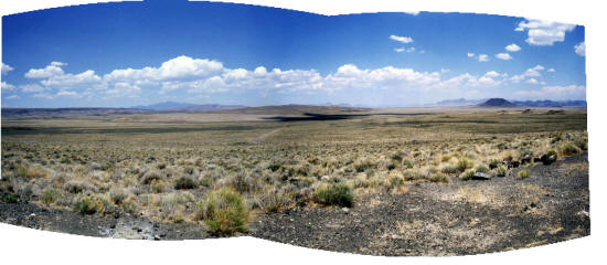 |
Panoramic view looking away from the rim of Lunar Crater slightly northwest. The 8 mile access road from Highway 6 is visible.
This is a gravel road with quite a bit of washboard and is passable in most weather by a standard auto with normal clearance.
Easy Chair Crater visible on the horizon to the right.
3
|
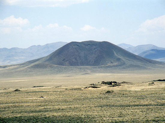 |
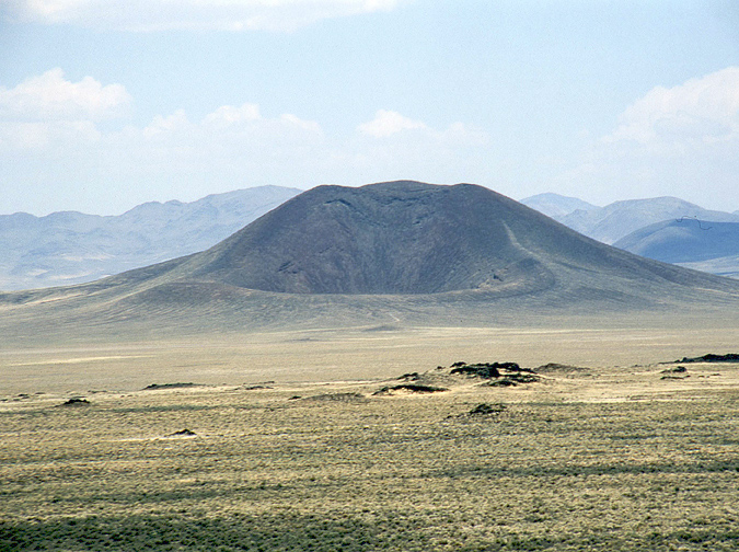
Zoomed view looking north from the rim of Lunar Crater to Easy Chair Crater. This is a very isolated location
and would require some preparation - i.e. full tank of gas and extra water.
4
|
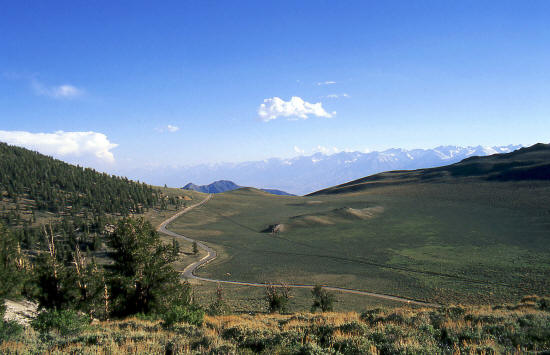 |
This view is generally south looking over Reed Flat toward the Sierra Nevada Mountains. The road is White
Mountain Road and provides access to The Ancient Brislecone Pine Forest in the White Mountains of eastern California near Bishop.
This grove of Bristlecone pines is known as the Shulman Grove.
5
|
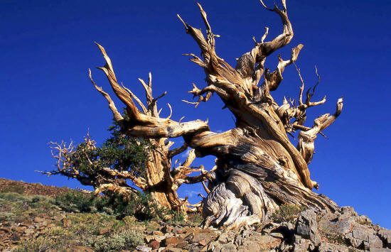 |
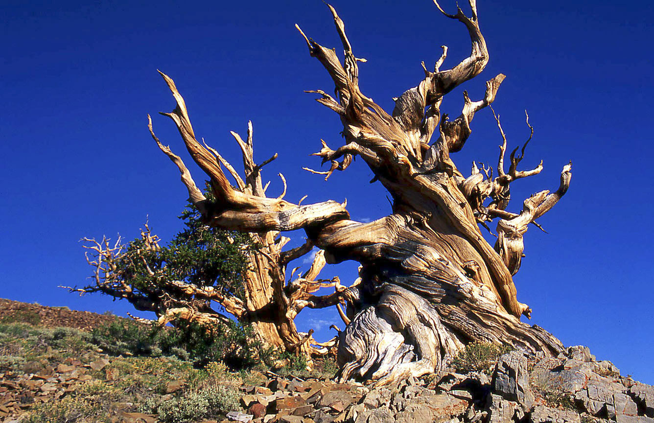
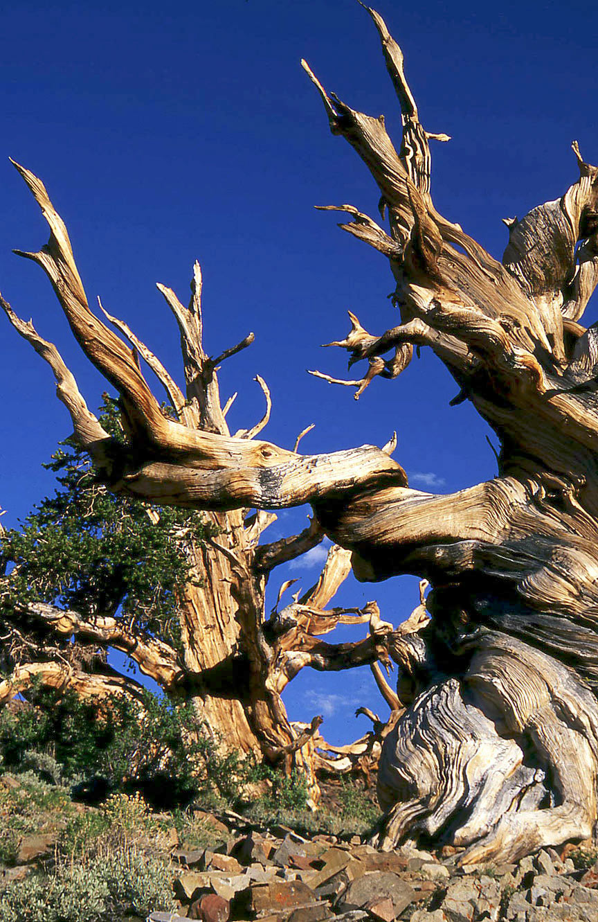
Bristlecone Pine only grow in areas that range above 10,000 feet.
6
|
 |
The twisted and contorted trunks and limbs of the Bristlecone Pine are very dramatic.
7
|
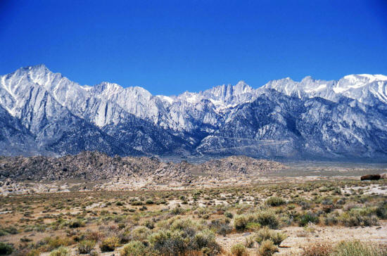 |
This is a view looking west from Lone Pine, CA toward Mt. Whitney. The Mt. Whitney Portal Road is just visible as it switchbacks up into the
mountains. Alabama Hills in mid-ground.
8
|
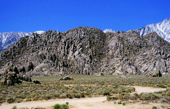 |
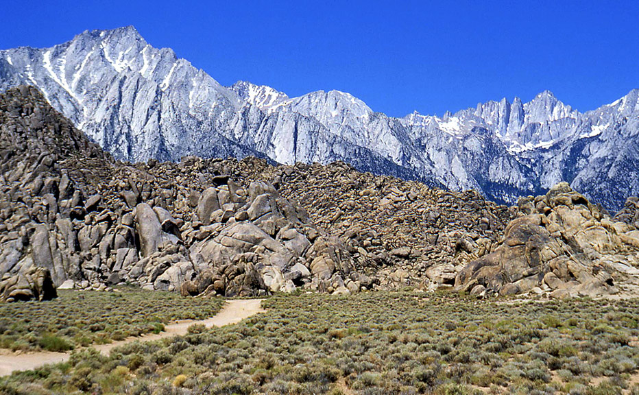
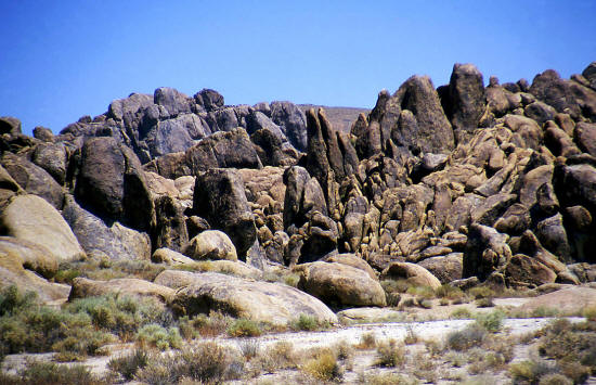
View is west to one of the tallest formations in the Alabama Hills.
9
|
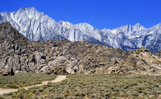 |
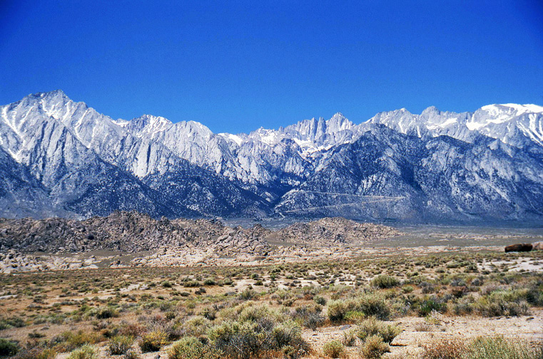
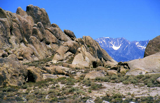
Alabama Hills with Mt. Whitney on the Horizon. Mt. Whitney is the tallest mountain in the continental United
States at 14,495 feet above sea level.
10
|
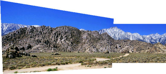 |
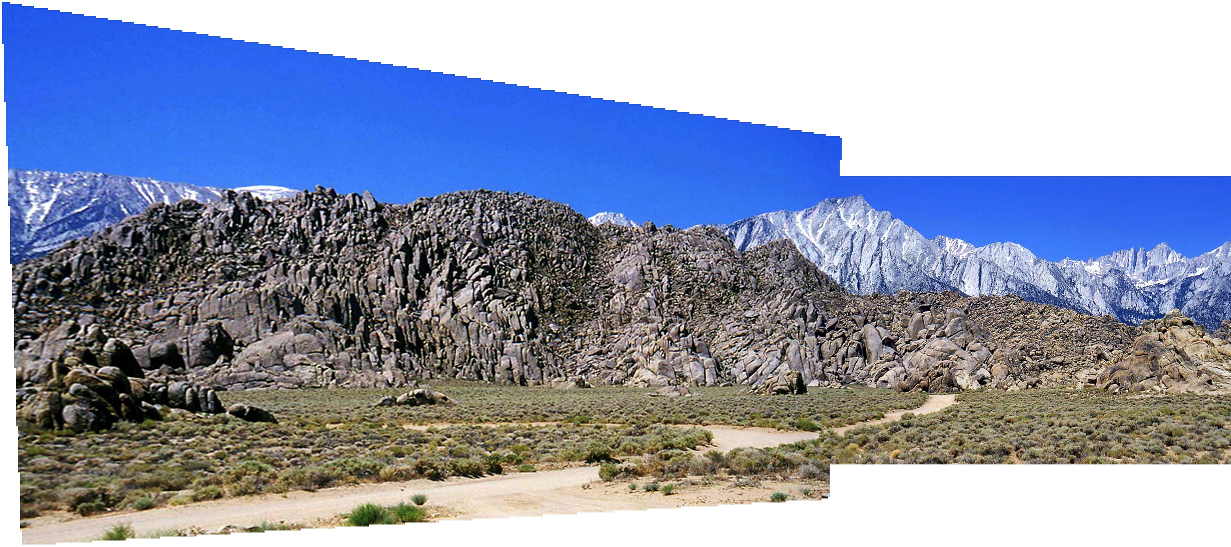
This image is a combination of the two previous and overlapping images. The left image becomes slightly distorted because it was taken
at a more close range than the right image.
11
|
 |
Alabama Hills are composed of metamorphosed volcanic rock and granite.
12
|
 |
Over 150 movies have been filmed in the Alabama Hills since 1920.
13
|
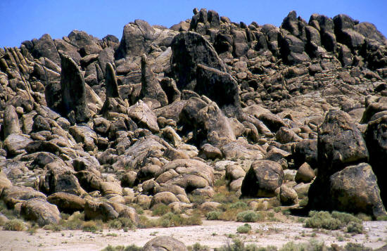 |
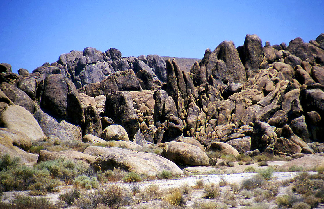
Alabama Hills.
14
|
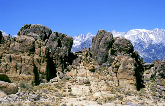 |
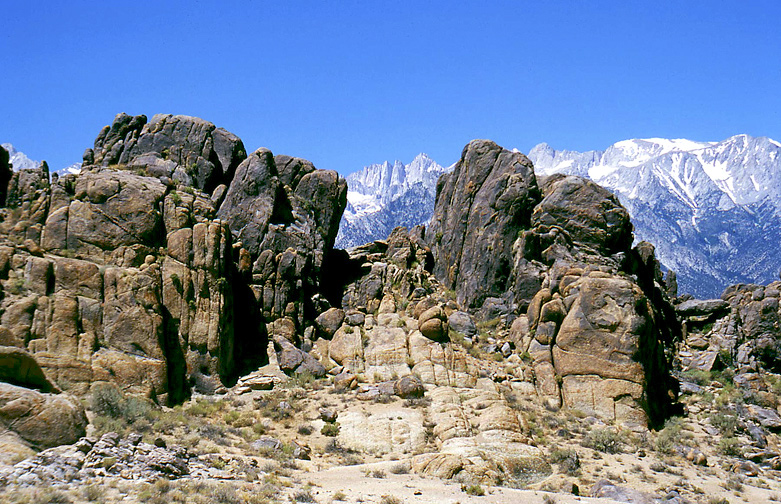
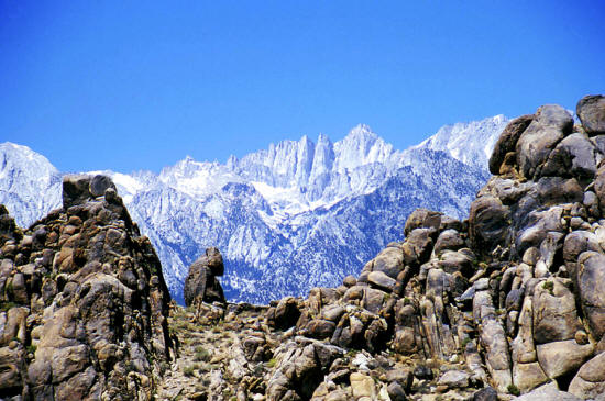
Alabama Hills & Mt. Whitney framed between the rocks.
15
|
 |
Closer view of Alabama Hills & Mt. Whitney framed between the rocks.
16
|
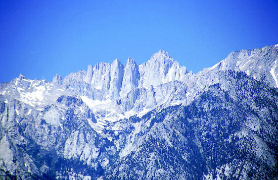 |
200mm zoomed view of Mt. Whitney from the Alabama Hills.
17
|
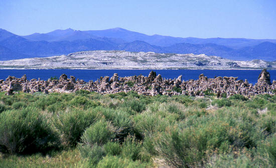 |
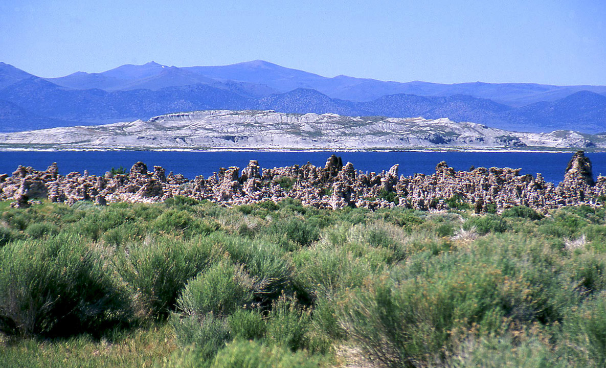
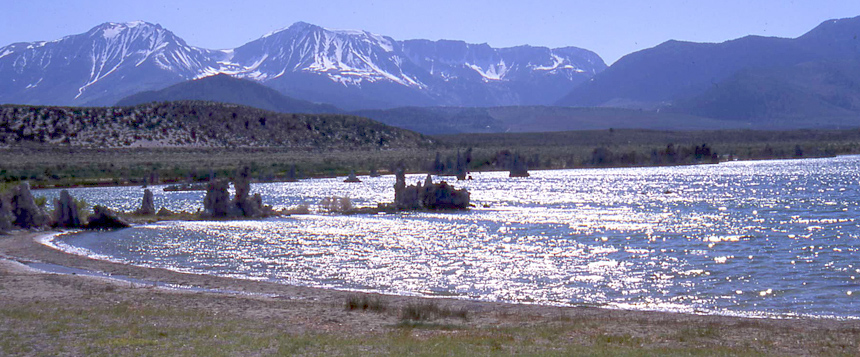
View north from the access road looking across Mono Lake to Paoha island. Mono Lake is in California's eastern Sierra Nevada region. The ghost town of Bodie, CA is located
in the mountains on the horizon.
18
|
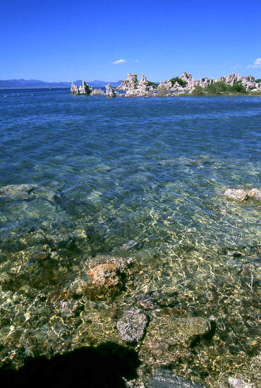 |
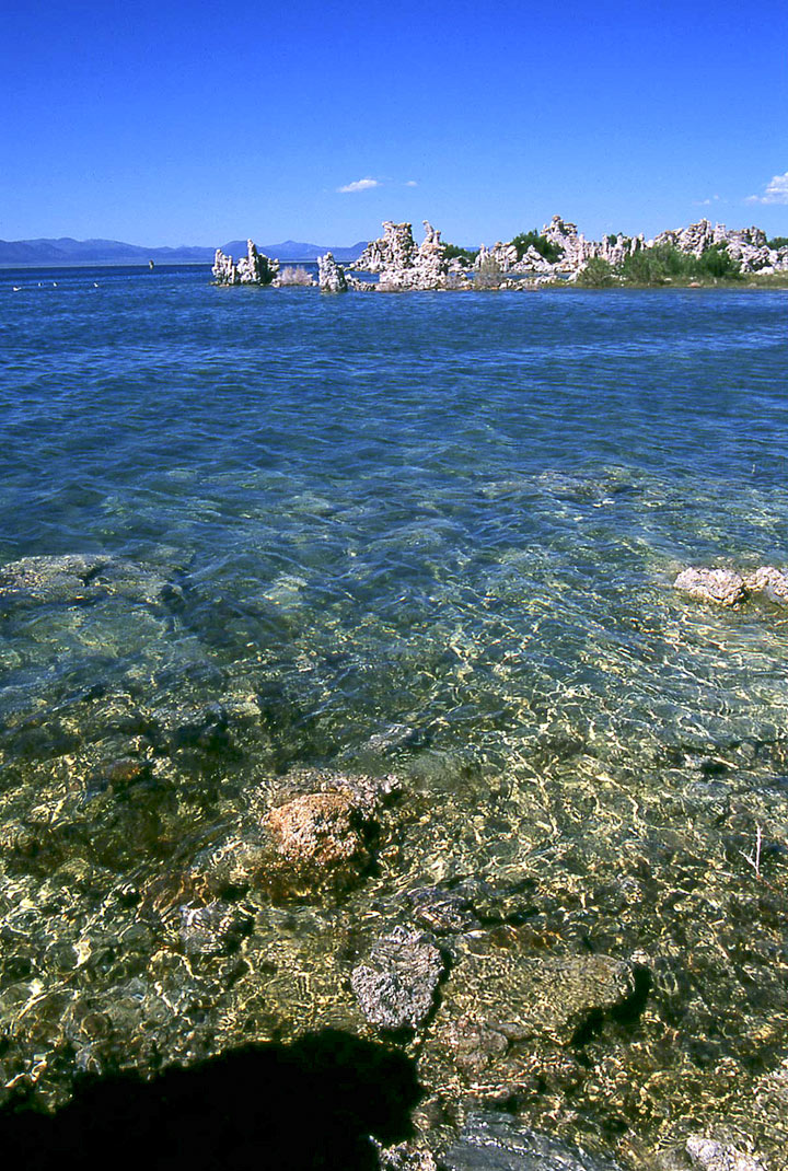
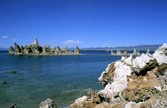
View of shoreline and tufa towers in the distance. This area is known as South Tufa.
19
|
 |
Shoreline and tufa towers. The view is generally north.
20
|
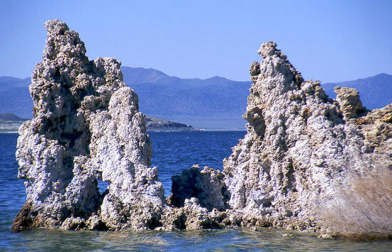 |
Zoomed view of the point in the previous image.
21
|
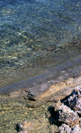 |
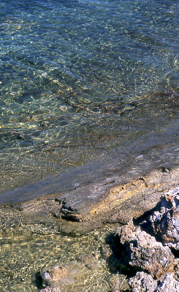
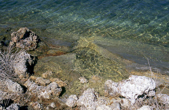
View of the shoreline in the South Tufa area of Mono Lake.
22
|
 |
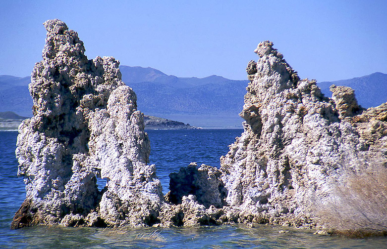
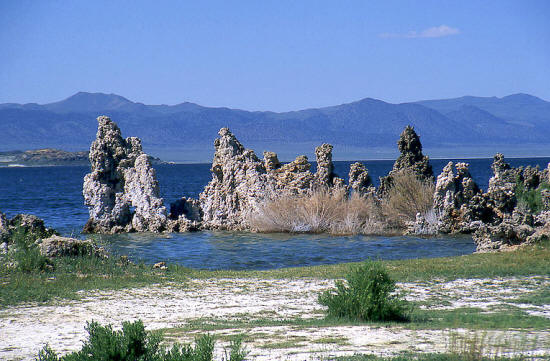
Shoreline and Tufa Tower islands.
23
|
 |
View west that shows how the Tufa Towers are generally dispersed along the lakes shore.
24
|
 |
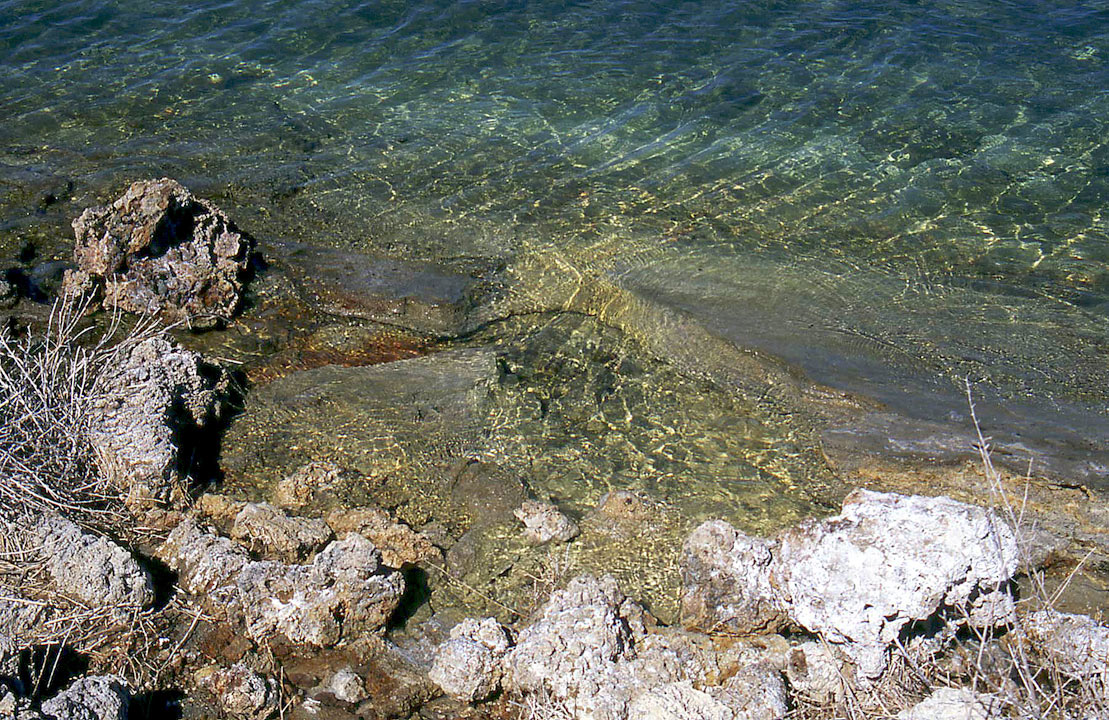
Another view of the Mono Lake shoreline in the South Tufa area.
25
|