 |
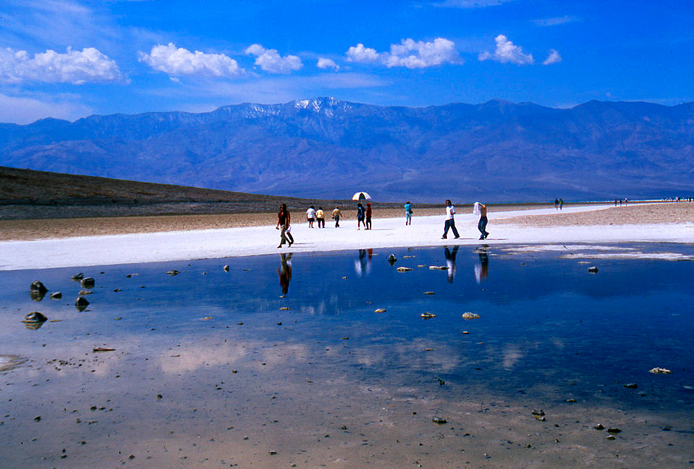
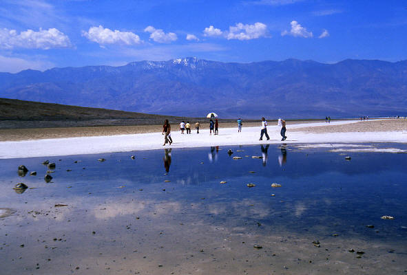
View west to Telescope Peak from "Badwater" in Death Valley National Park. Badwater is the lowest point in North America at 282 feet below sea level.
Telescope Peak is the snow covered mountain on the horizon at 11,049 feet in elevation.
1
|
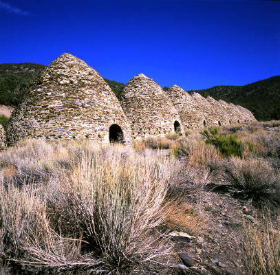 |
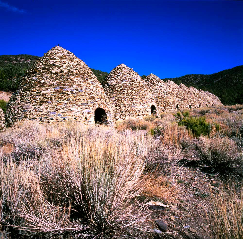
Charcoal Kilns near the head of Wildrose Canyon in Death Valley National Park.
2
|
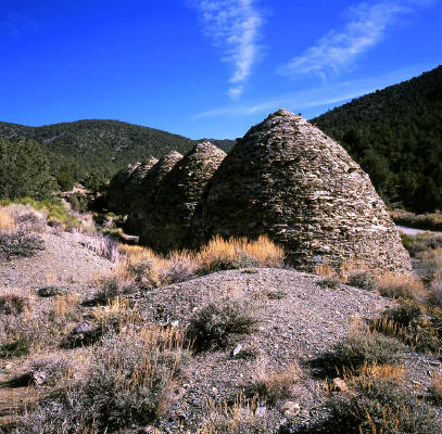 |
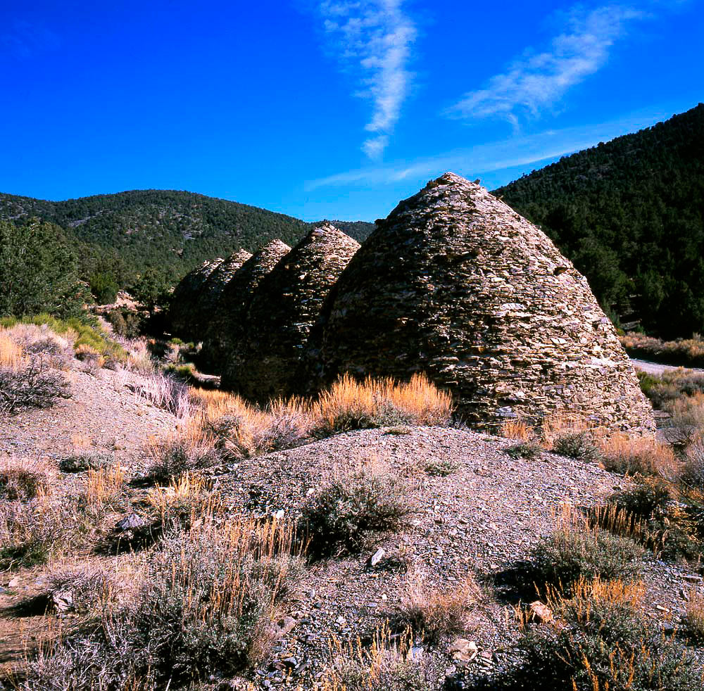
Another view of the Charcoal Kilns in Wildrose Canyon. Mahagony Flat is the saddle located on the horizon between the first two charcoal kilns.
3
|
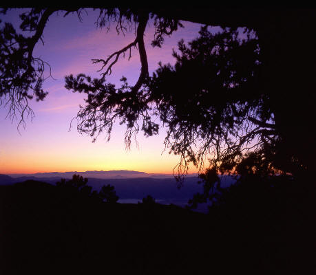 |
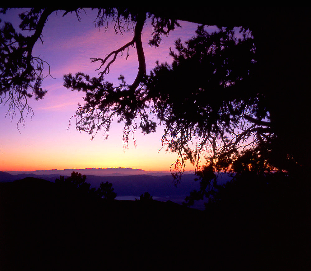
View west from the campground on Mahagony Flat at sunset. The east face of the Sierra Nevada Mountains are visible on the horizon.
4
|
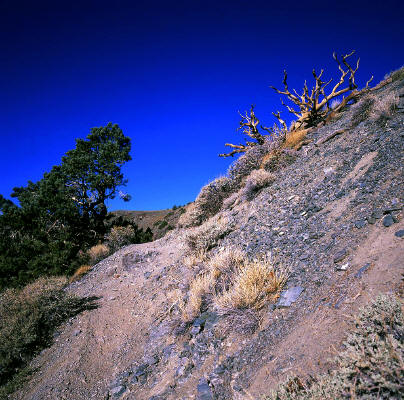
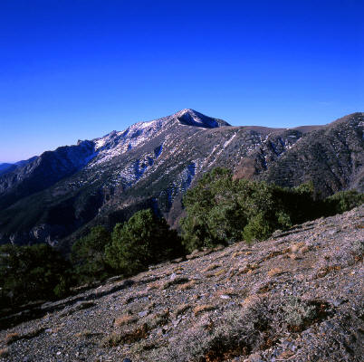
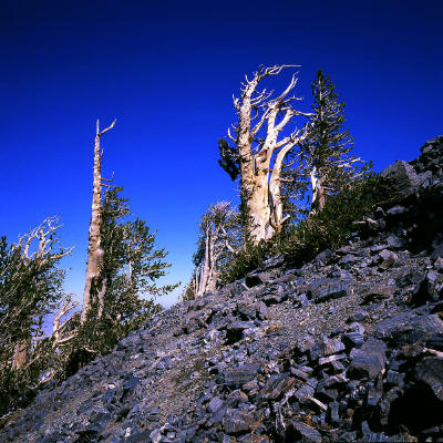
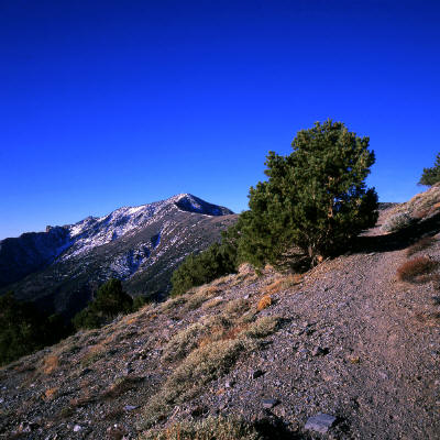 |
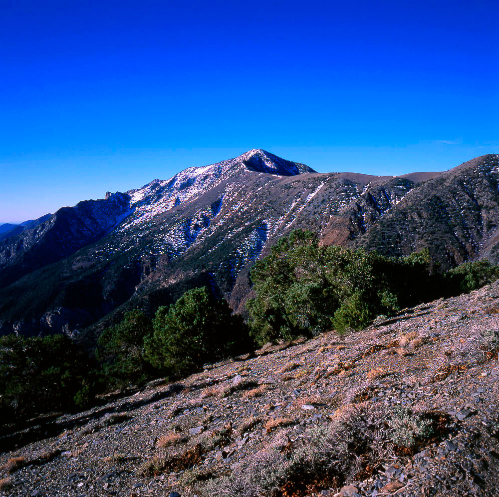
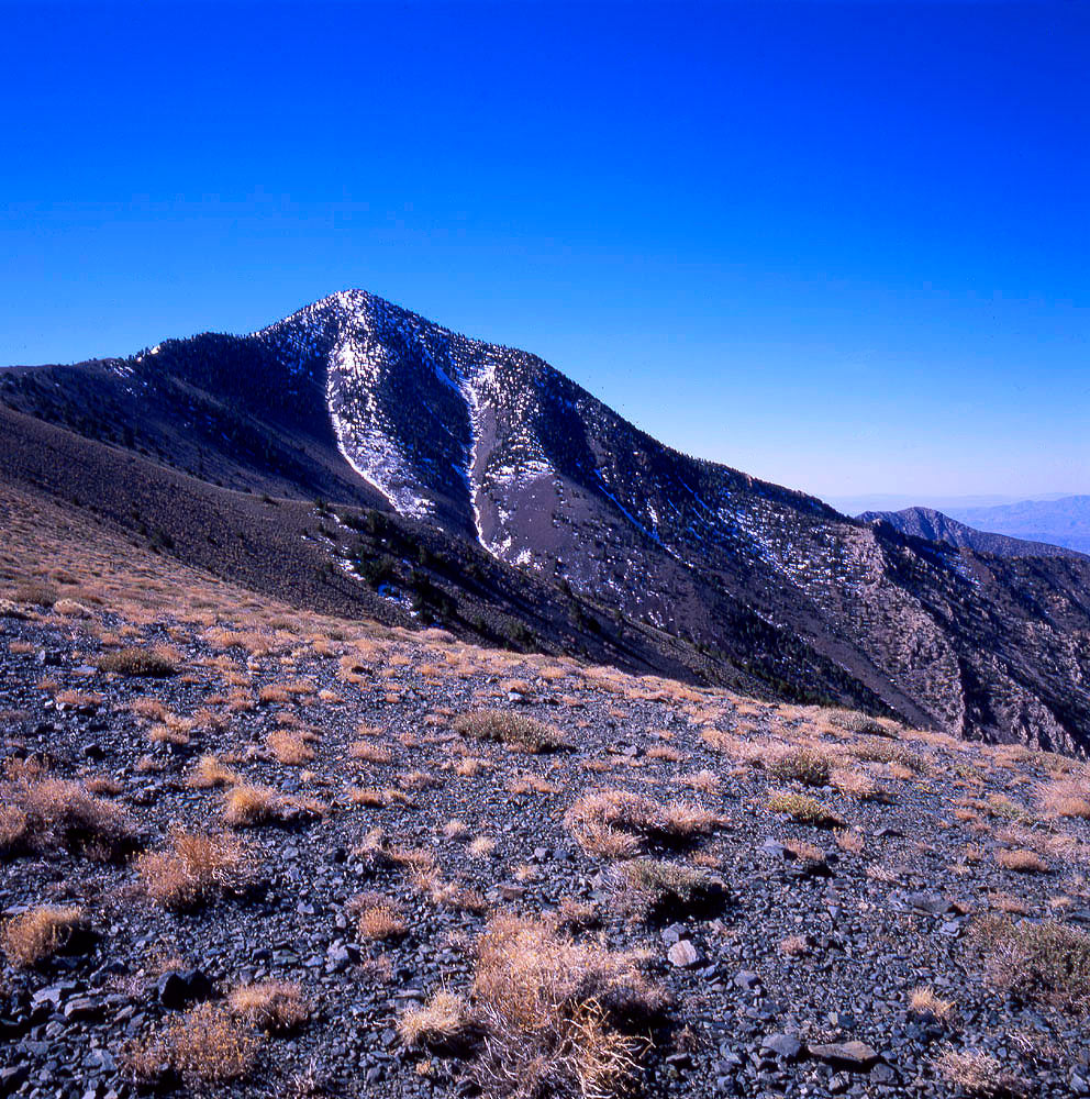
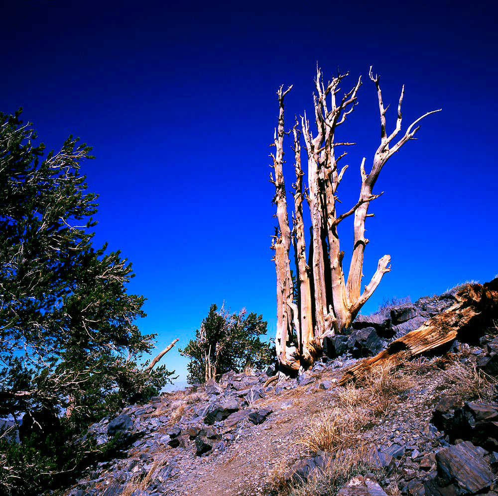
An early view of Telescope Peak in the Panamint Range along the access trail from Mahagony Flat. The hike/climb is seven miles one way.
5
|
 |
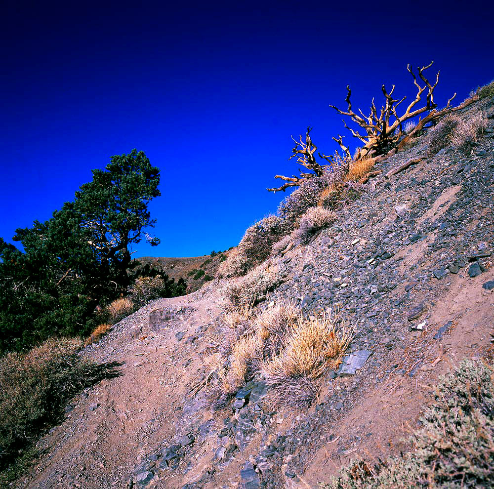
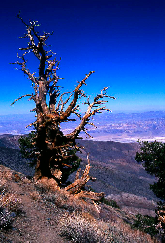
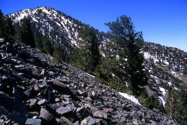
Along the trail to Telescope Peak. The tree visible on the right is the beginning of many Bristlecone Pines along this route.
6
|
 |
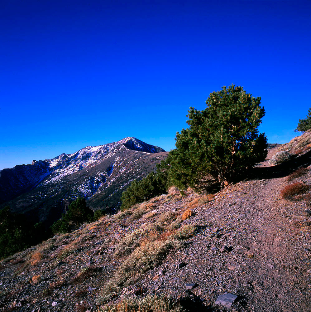
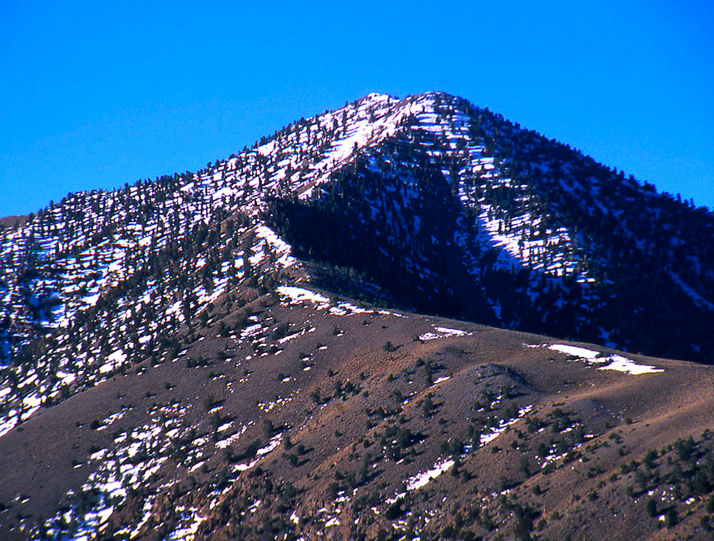
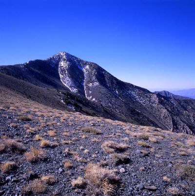
Another early view of Telescope Peak along the access trail. The peak visible is not the high point. The summit is about one-quarter mile south from the false peak.
7
|
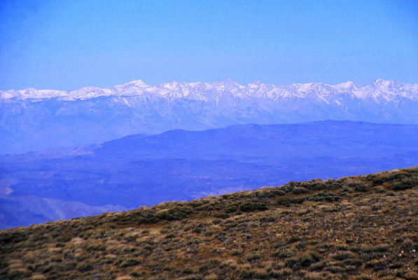 |
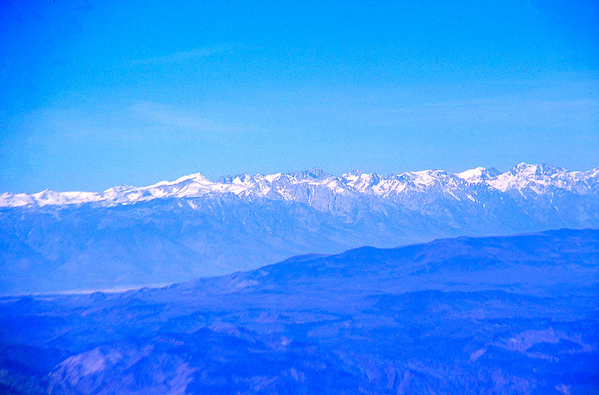
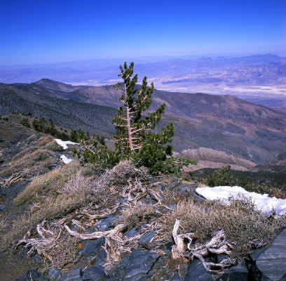
Close-up view of the eastern face of the Sierra Nevada Range from the trail.
8
|
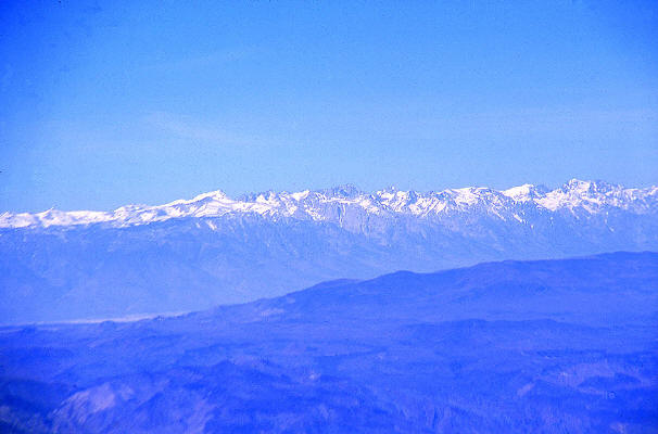 |
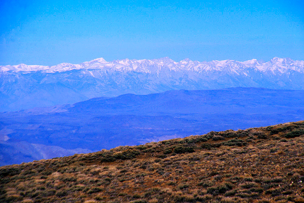
Zoomed view of the eastern face of the Sierra Nevada Range from the trail. Mt.Whitney is in the center of the image on the horizon. Whitney is the highest mountain
in the continental United States at 14,491 feet above sea level.
9
|
 |
View approaching the base of Telescope Peak.
10
|
 |
Almost at the base of Telescope Peak.
11
|
 |
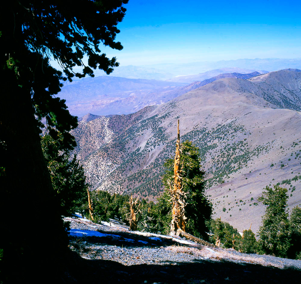
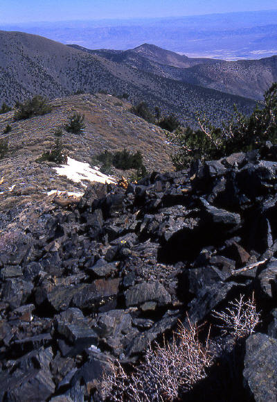
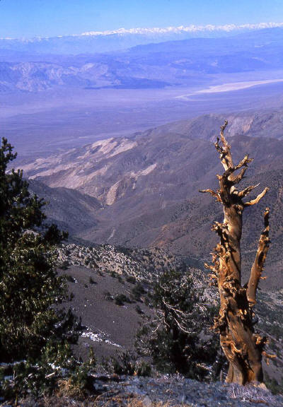
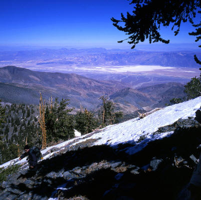
Another view higher in elevation along the approach ridge looking north-northeast. The white chalky area in the valley below is "Badwater".
Badwater is the lowest point in North America at 282 feet below sea level.
12
|
 |
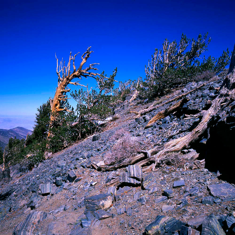
An Awesome ristlecone Pine along the trail.
13
|
 |
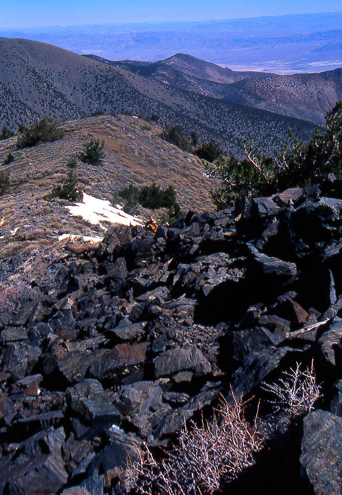
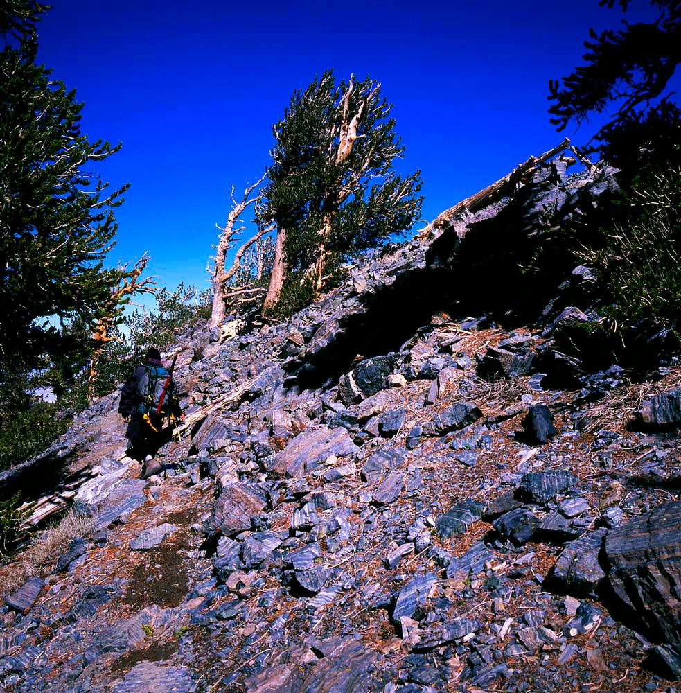
Continuing higher on the trail. The trail somewhat disintegrates as you start climbing into the gray shards of
Precambrian rock that make up Telescope Peak.
14
|
 |
The beginning of the Precambrian rock on Telescope Peak.
15
|
 |
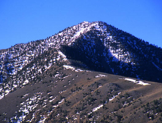
Zoomed view to the false summit from near the beginning of the climb.
16
|
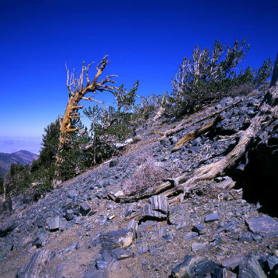 |
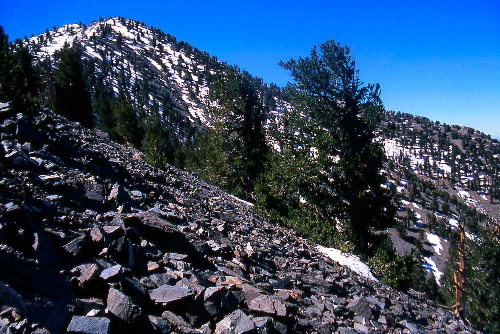
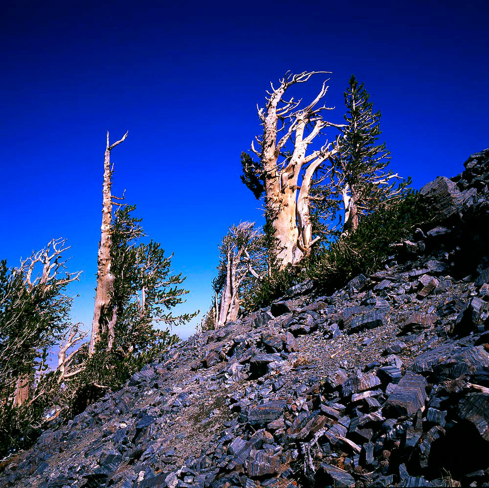
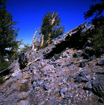
On the trail skirting below a descending ridgeline. Bristlecone Pine are scattered all over Telescope Peak.
17
|
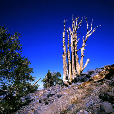 |
Impressive Bristlecone Pine along the trail.
18
|
 |
Bristlecone Pine along the trail.
19
|
 |
Bristlecone Pine along the trail.
20
|
 |
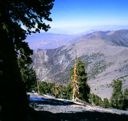
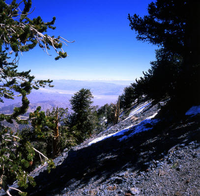
View looking northwest to the Sierra Nevada.
21
|
 |
View looking north.
22
|
 |
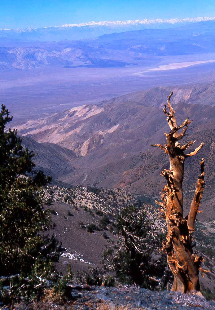
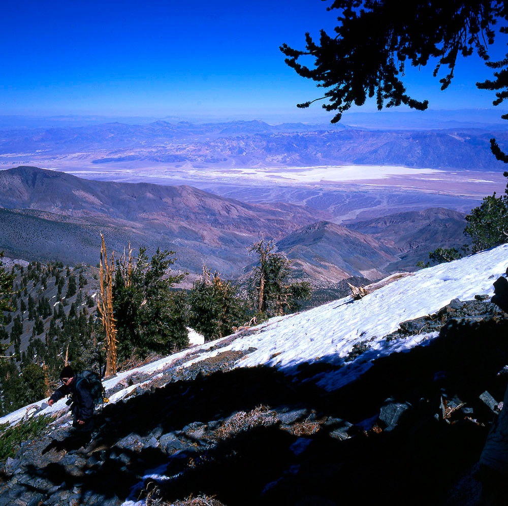
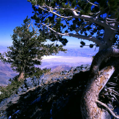
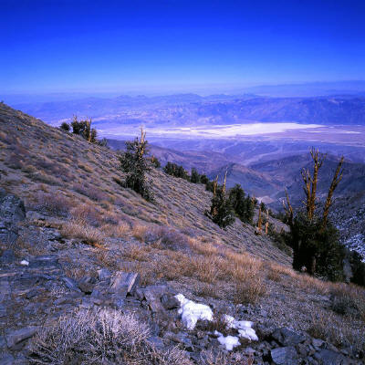
A view looking east-northeast of the chalky white "Badwater" area below in Death Valley from near the false summit.
23
|
 |
View looking north-northwest. The eastern face of the Sierra Nevada Range is on the horizon.
24
|
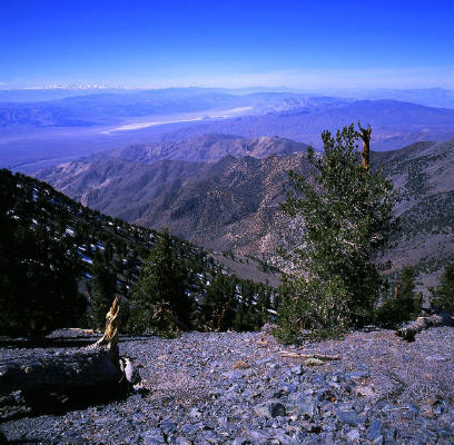 |
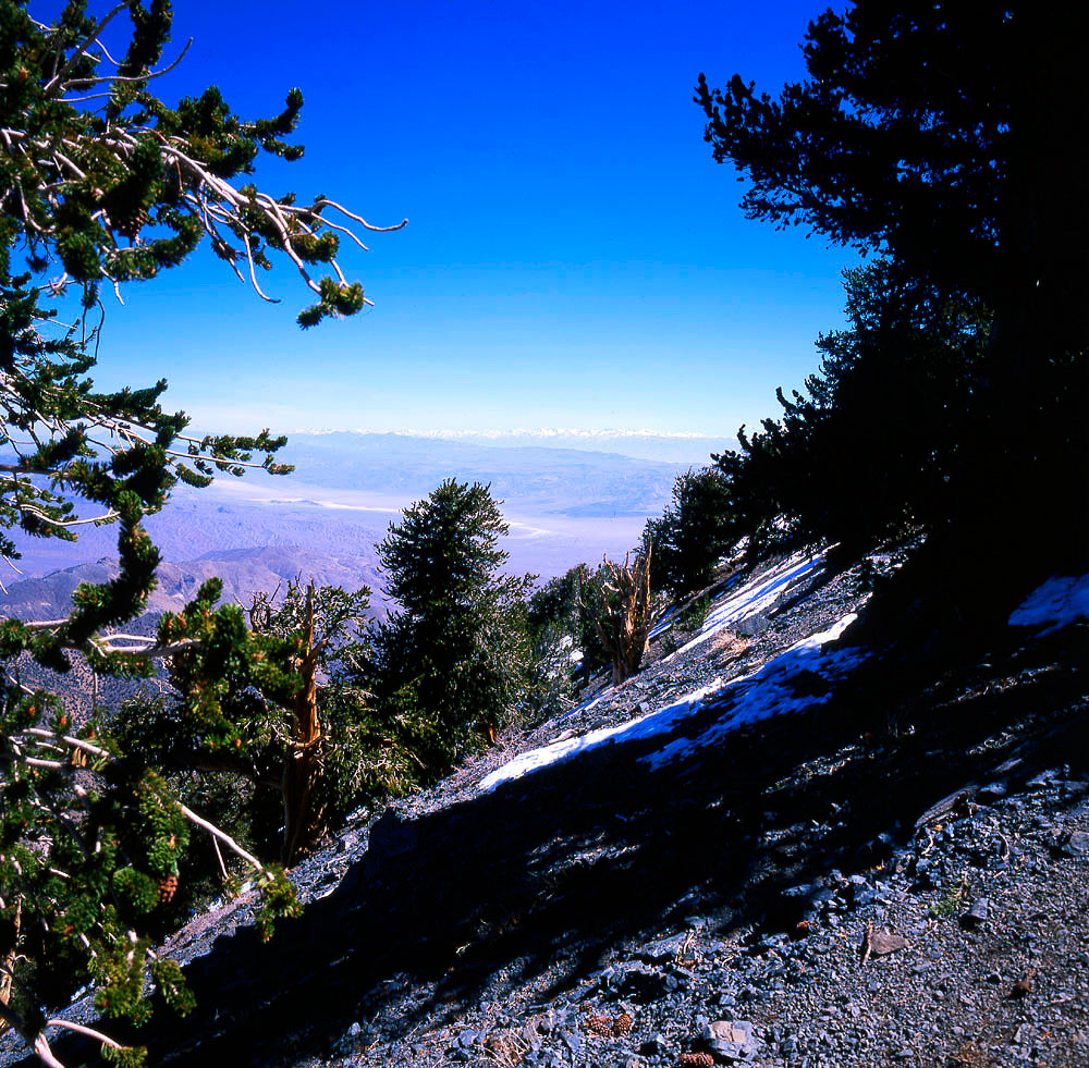
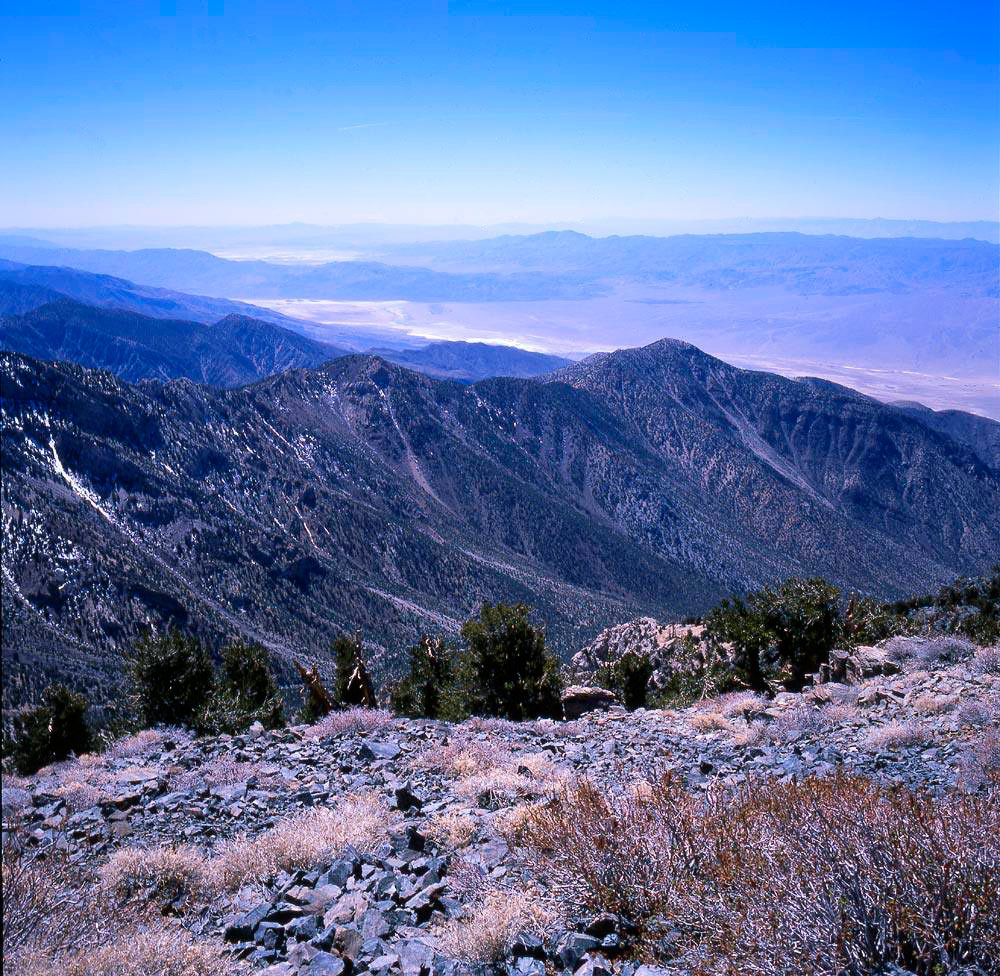
Looking northwest toward the Panamint Valley. The eastern face of the Sierra Nevada Mountains are visible on the horizon.
25
|
 |
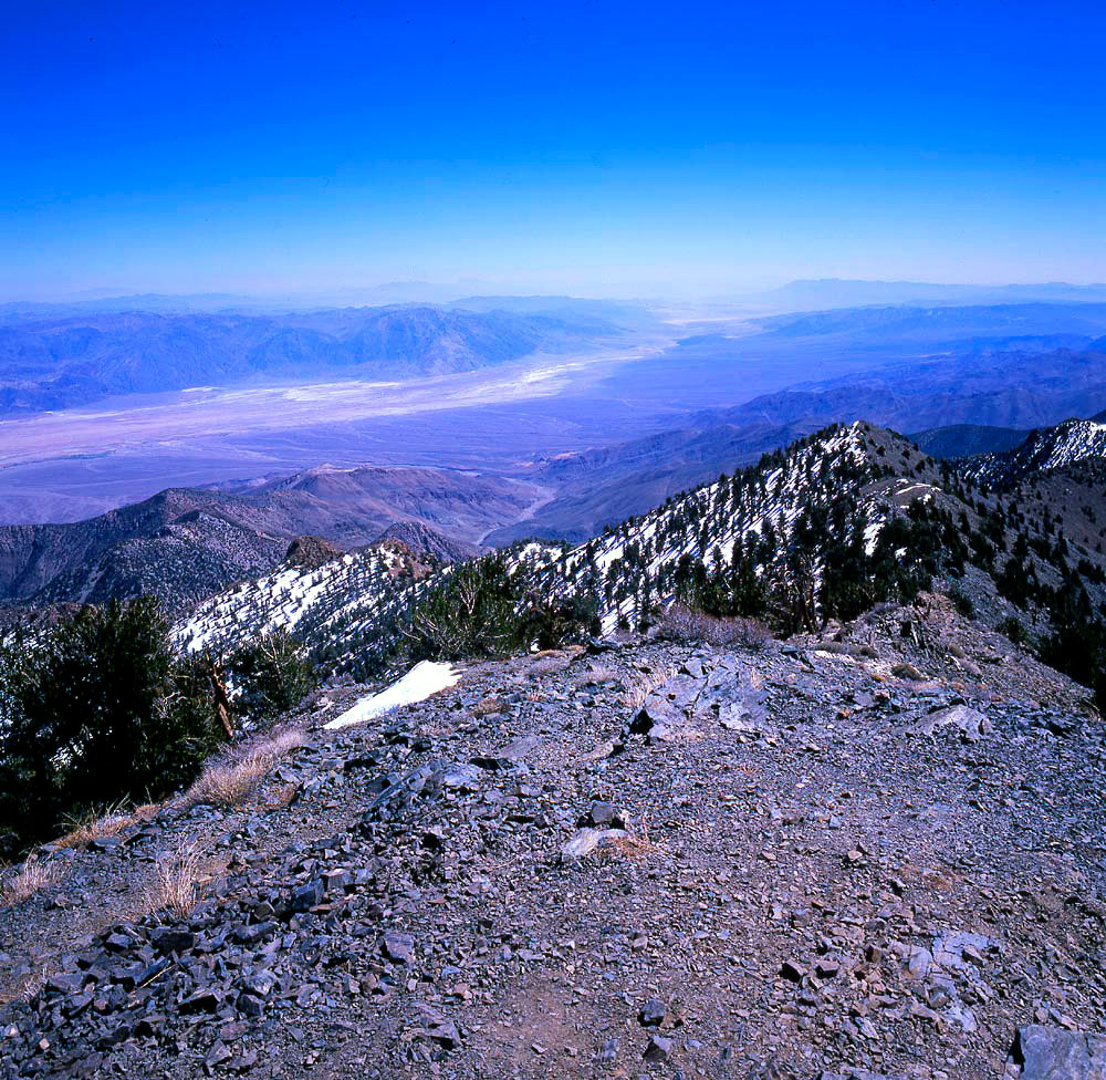
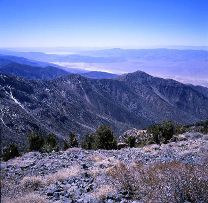
Higher and looking northeast down to "Badwater" in Death Valley below.
26
|
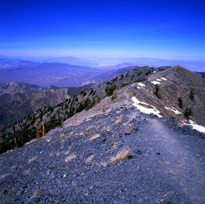 |
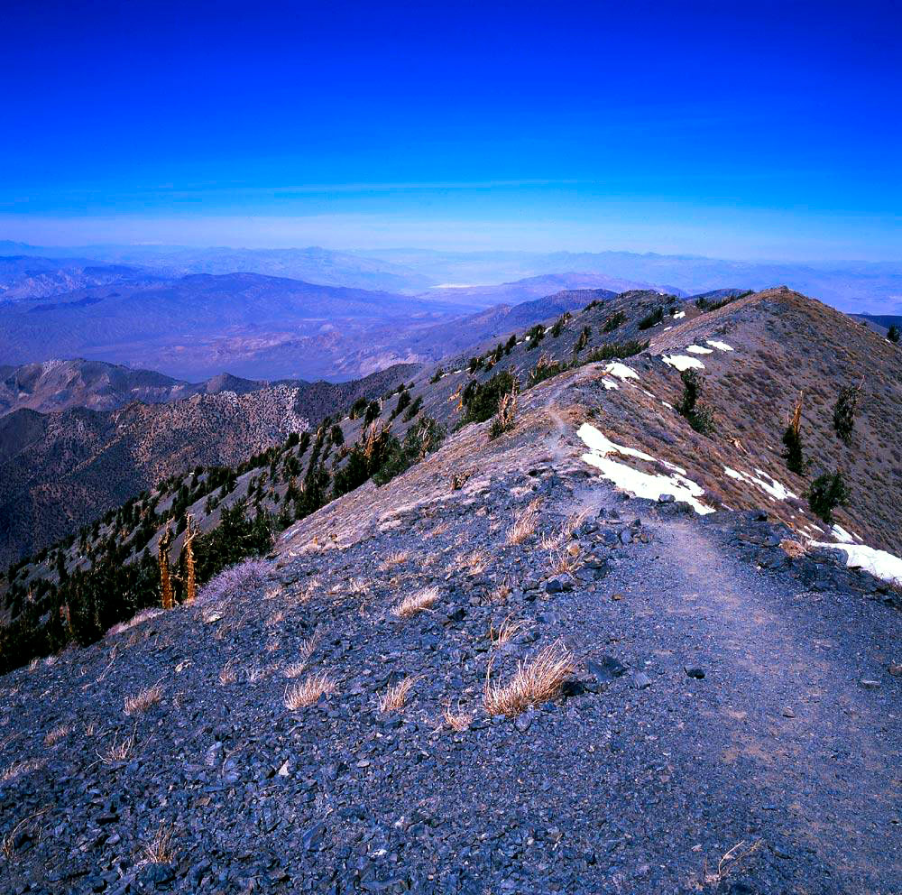
View south along the connecting ridge from the false summit looking at the true summit of Telescope Peak.
27
|
 |
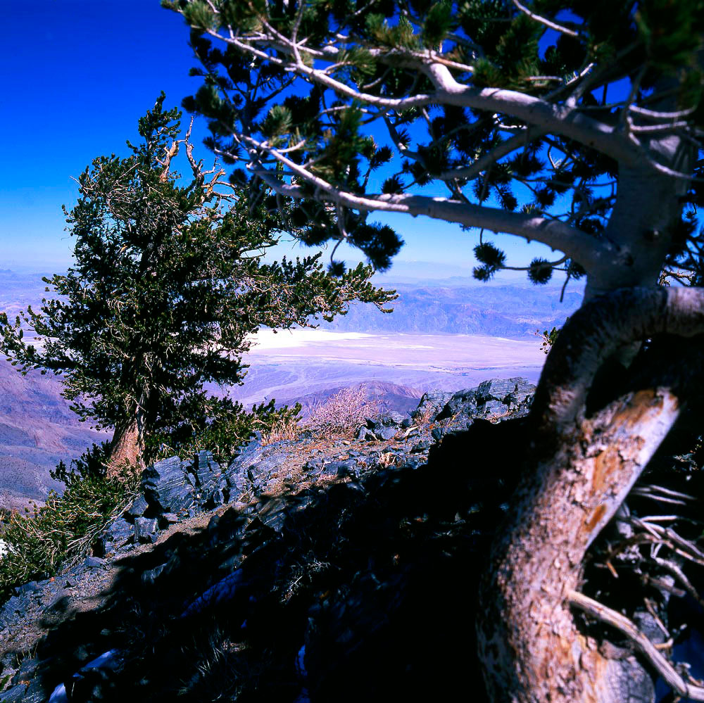
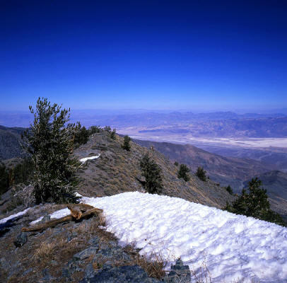
View looking southwest from near the summit into the Panamint Valley toward China Lakes.
28
|
 |
Looking northeast from the connecting ridge to the summit. Badwater visible below in Death Valley.
29
|
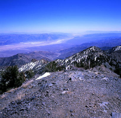 |
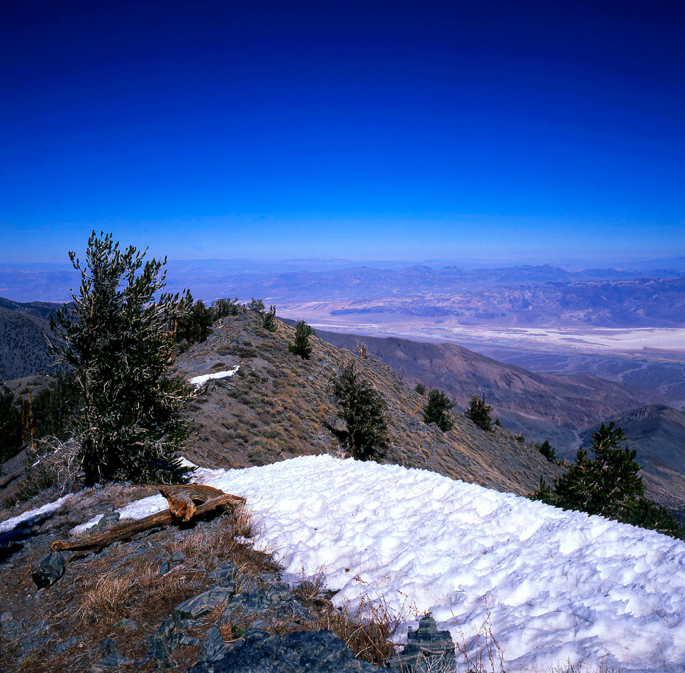
View south to Death Valley from the 11,049 feet summit of Telescope Peak.
30
|