 |
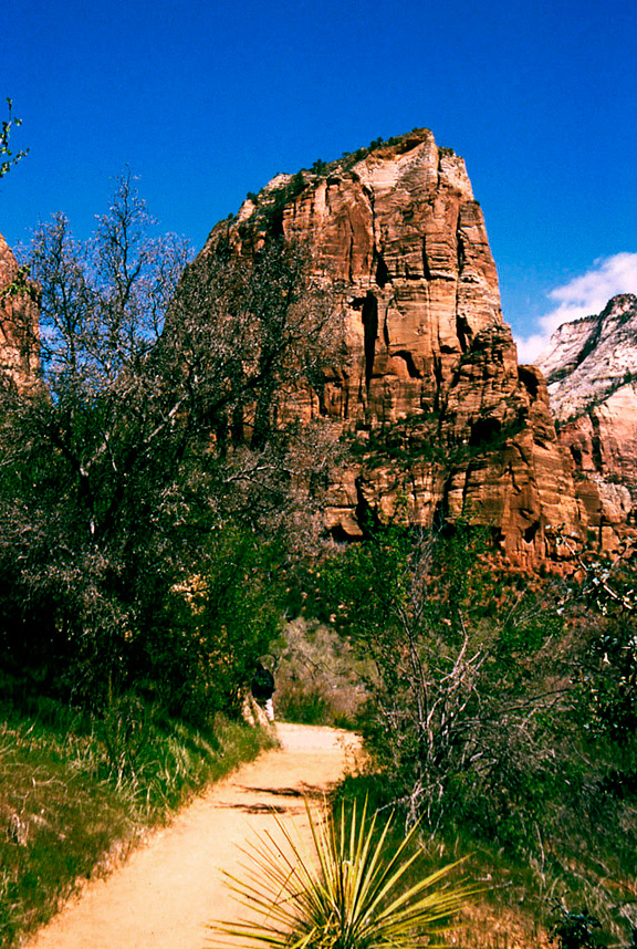
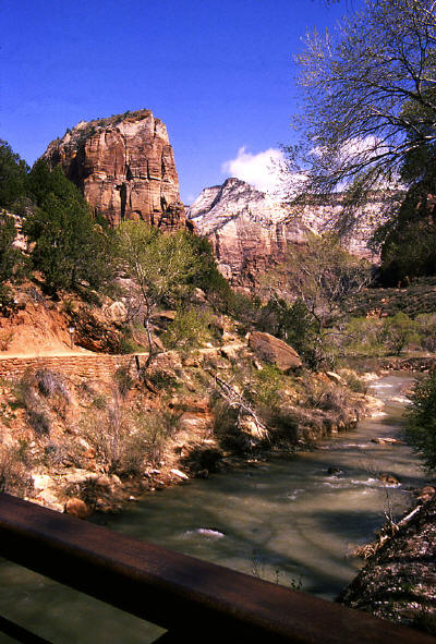
Start of the trail to "Angel's Landing" at the bridge over the Virgin River.
1
|
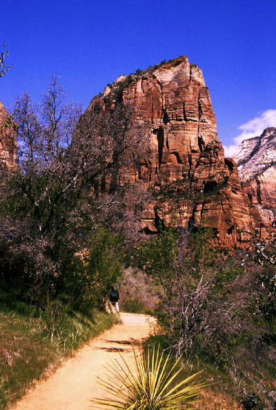 |
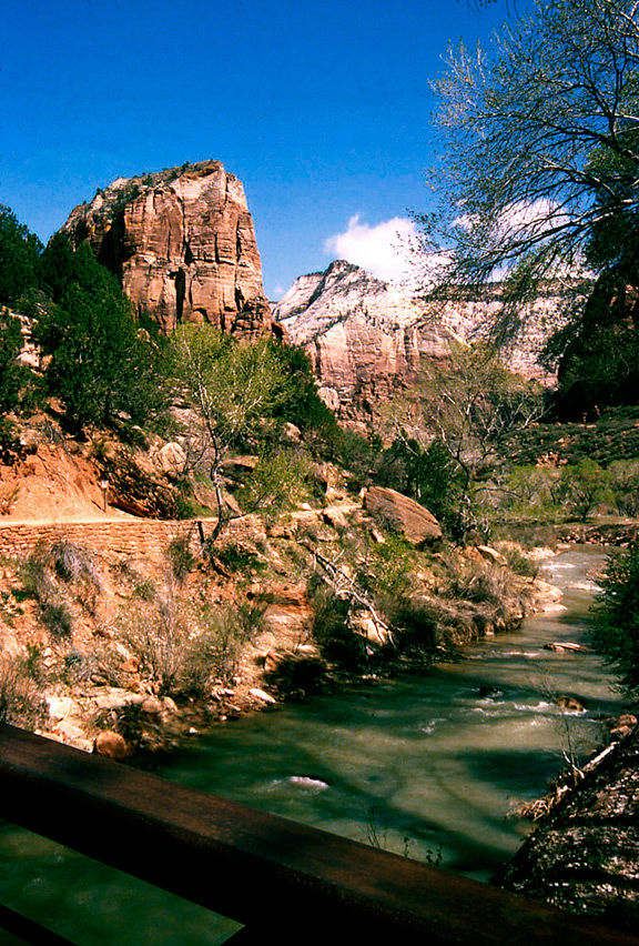
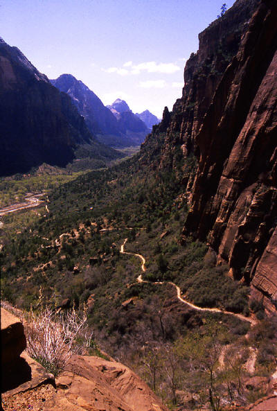
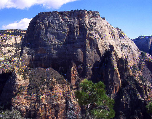
Continuing on the trail following the Virgin River with the 1500 foot tall sandstone tower that is "Angel's Landing" visible straight ahead.
2
|
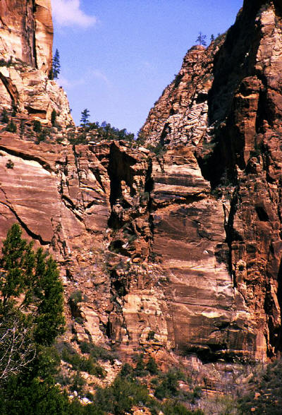 |
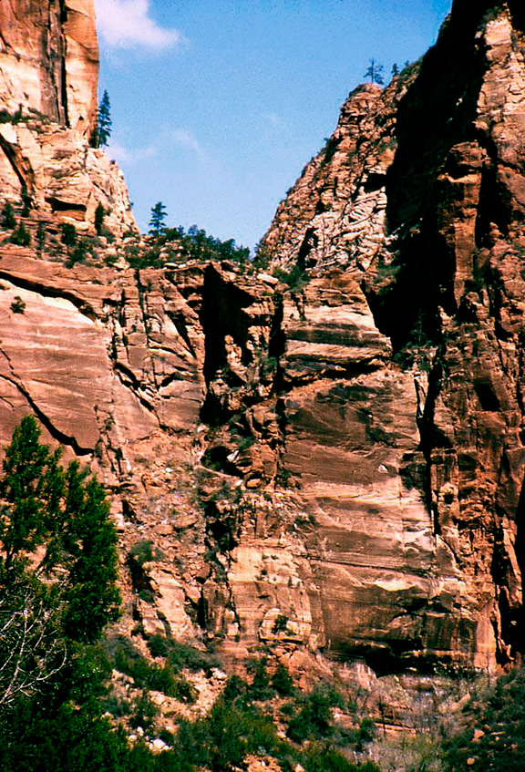
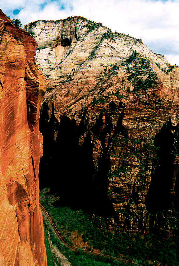
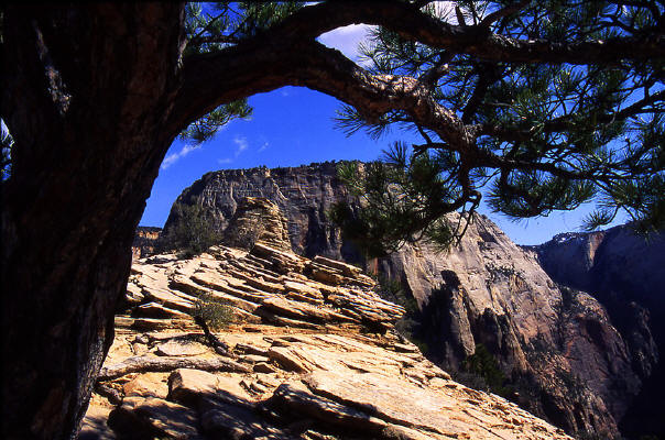
A view from the access trail to "Angel's Landing" looking at the base of a hanging canyon.
The hanging canyon is named "Refrigerator Canyon" and the grade cut visible
in the center of the image provides walking access.
3
|
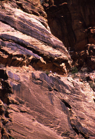 |
Zoomed view to the grade cut in the sandstone cliff face that provides access to Refrigerator Canyon.
4
|
 |
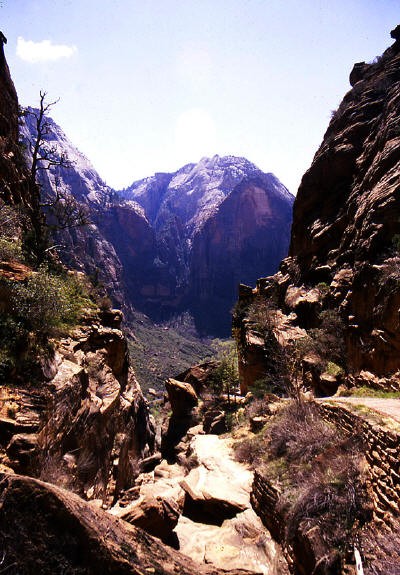
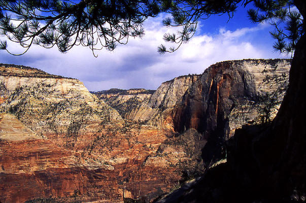
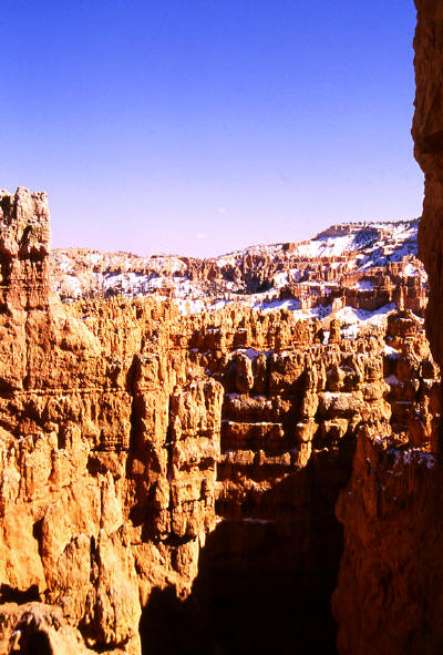
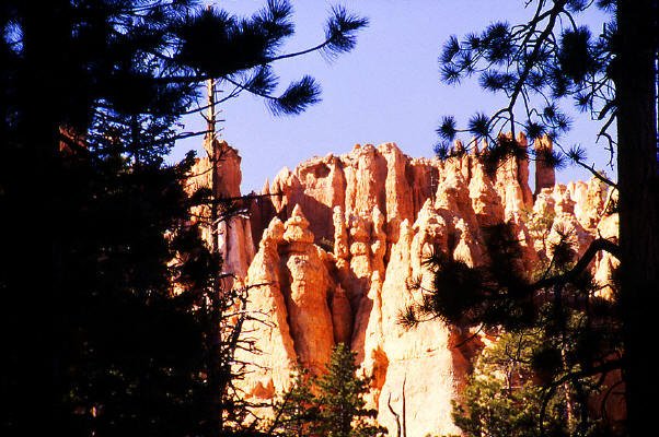
Looking south into Zion Canyon from the grade cut in the sandstone cliff. This route provides access to Refrigerator Canyon and The West Rim Trail.
5
|
 |
View from the base of Refrigerator Canyon looking south into Zion Canyon.
6
|
 |
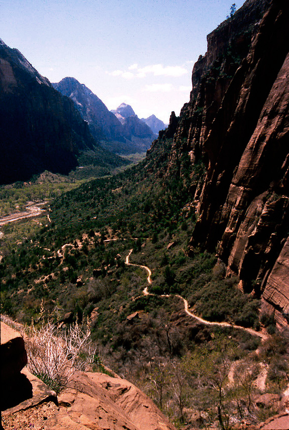
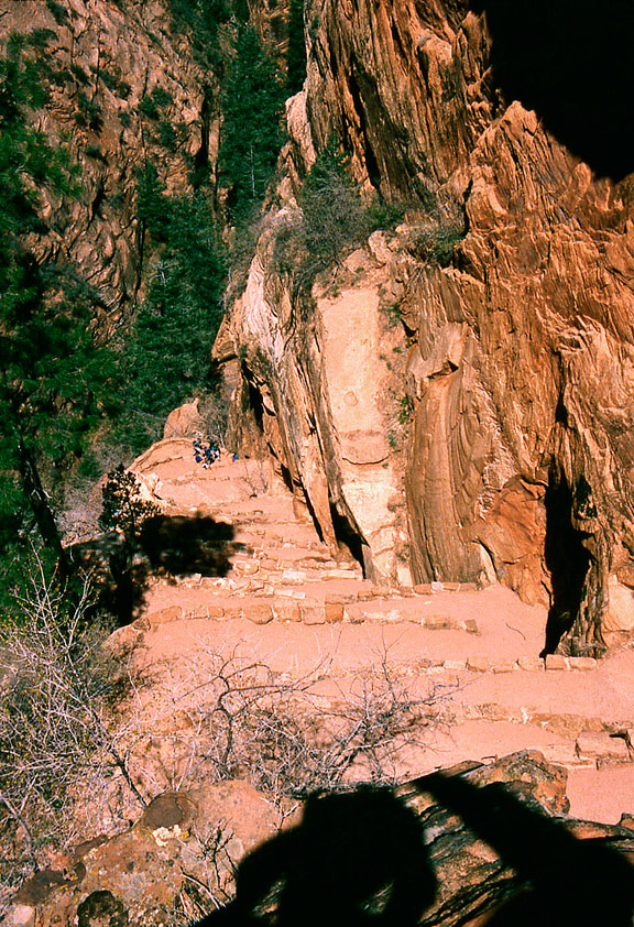
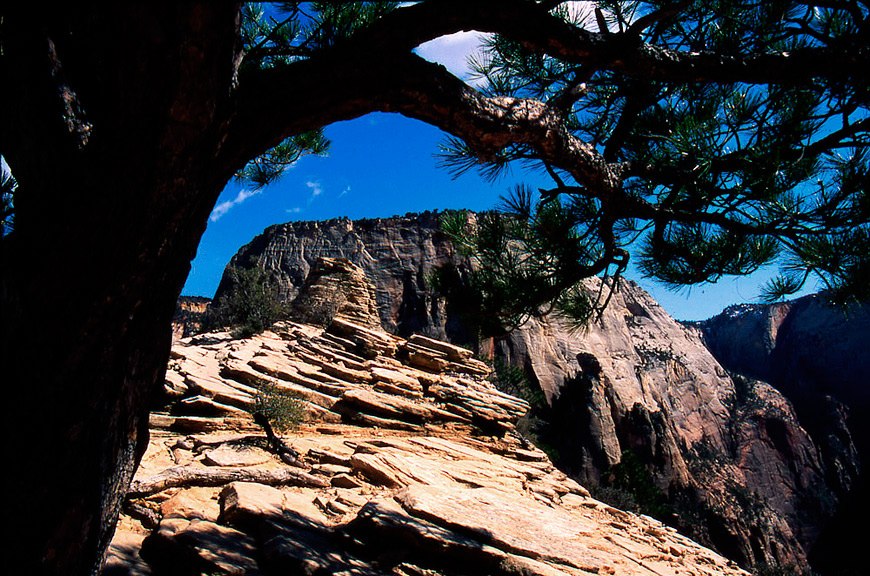
View looking down the "Zigzag" trail from near the top of the switchbacks.
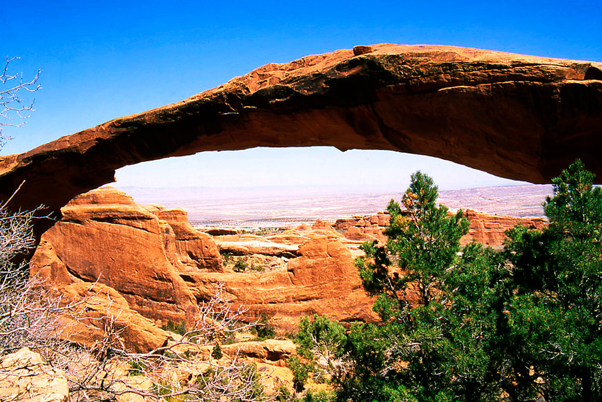
This section of the trail climbs to "Scout Lookout".
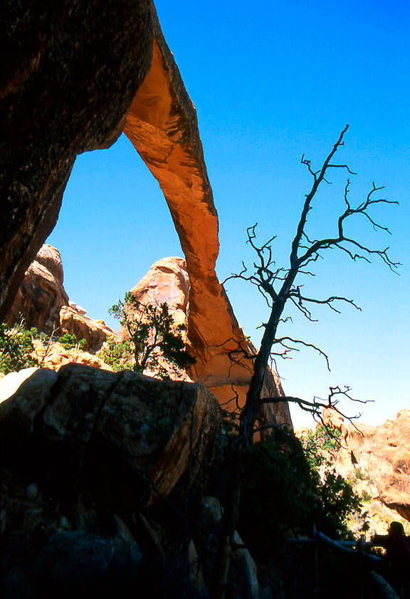
7
|
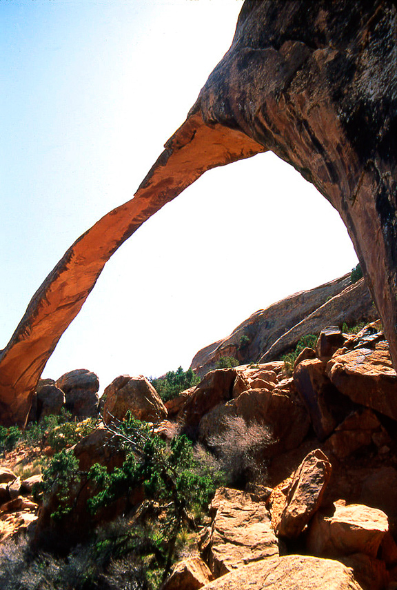
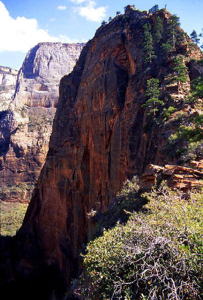 |
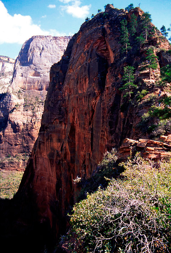
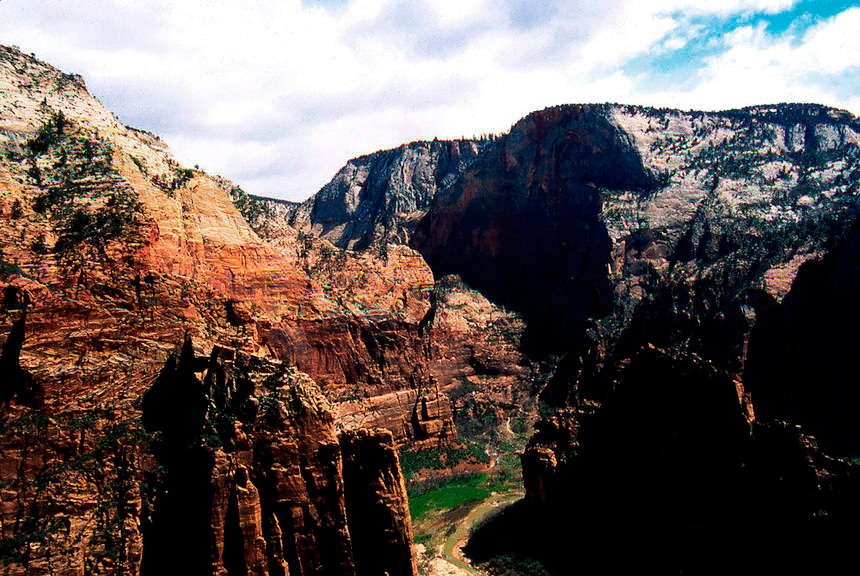
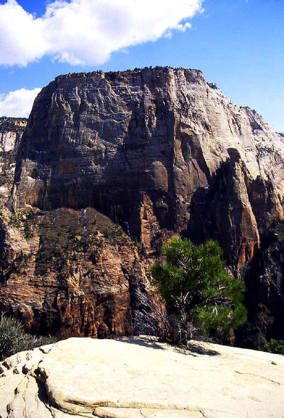
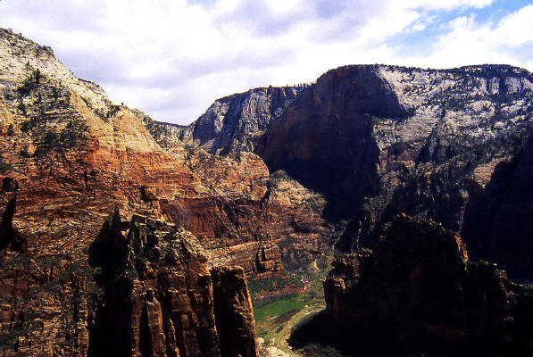
View to Angel's Landing from near "Scout Lookout" showing the narrow connecting ridge. "The
Great White Throne" is visible in the distance.
8
|
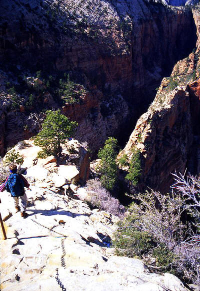 |
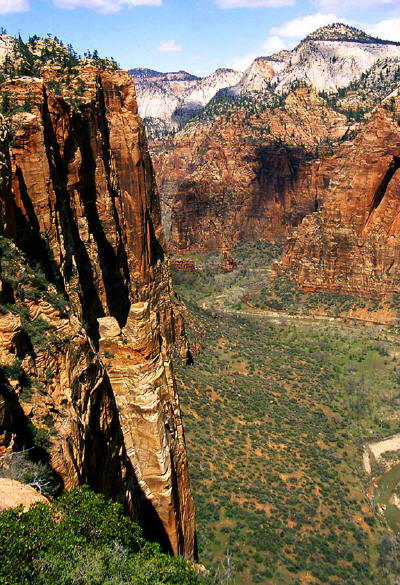
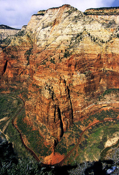
View looking back down to the very narrow connecting ridge from about half way up to
"Angel's Landing. The view shows Refrigerator Canyon on the left side
of the connecting ridge and Zion Canyon on the right. The drop off on
either side is several hundred feet straight down.
9
|
 |
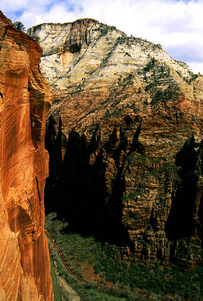
View from the beginning of the connecting ridge looking north into Zion Canyon.
The trail starts to get very interesting from this point.
10
|
 |
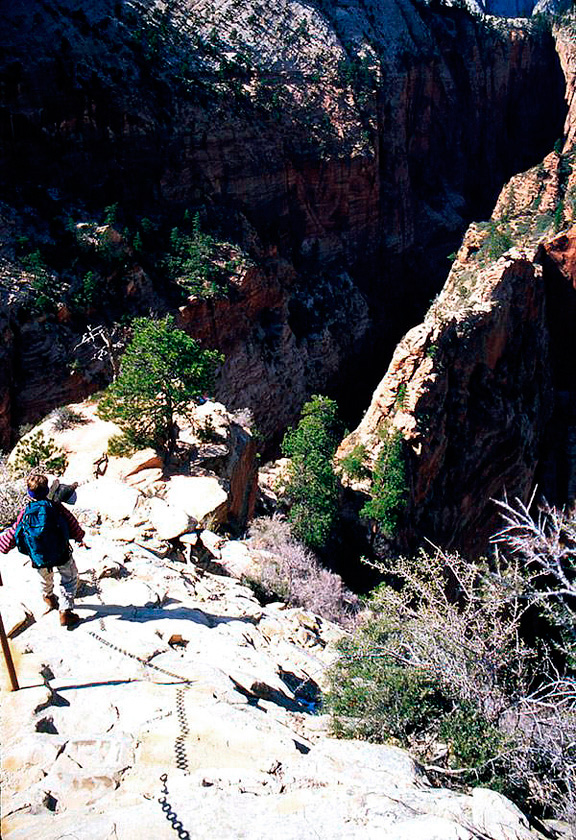
Another view from the trail. If you are afraid of heights you are cautioned to avoid this climb.
This image was taken from the trial and it is literally right at the edge of the cliff face
shown on the left side of this image. The river and road are approx. 1000 feet below.
11
|
 |
A view to "The Great White Throne" from the approach to "Angel's Landing".
12
|
 |
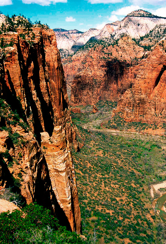
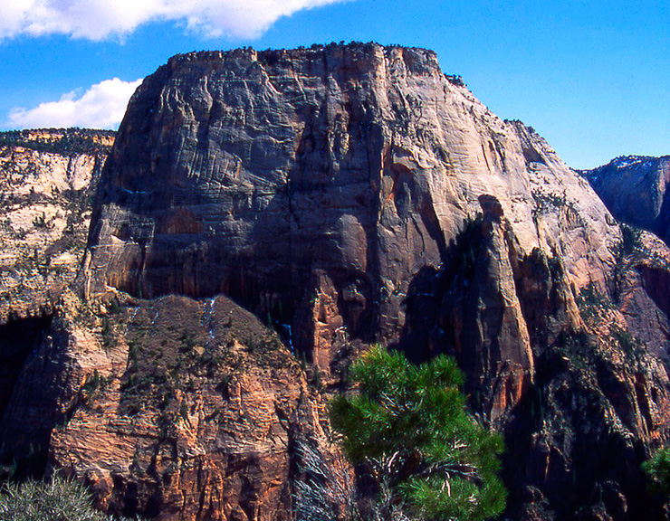
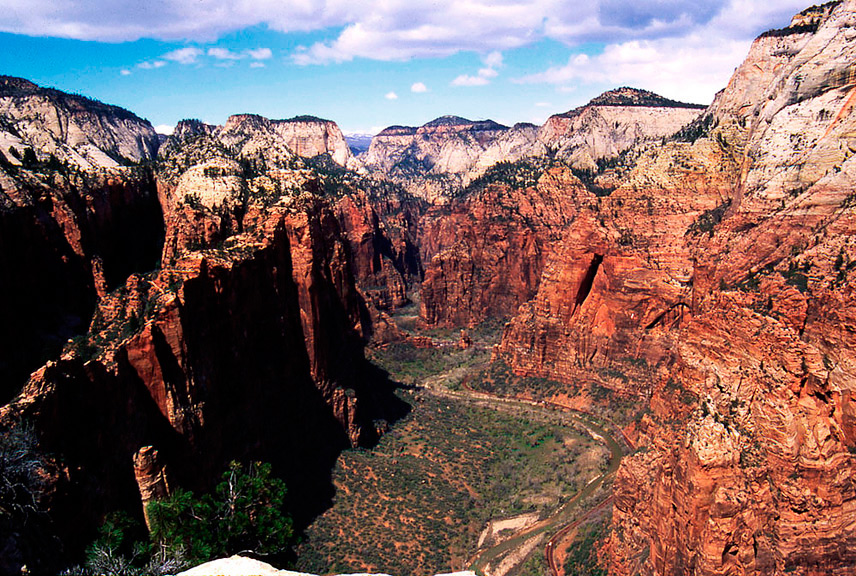
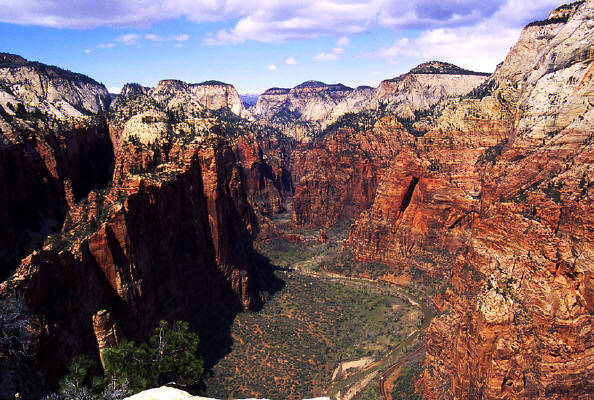
"The Great White Throne" from "Angel's Landing".
13
|
 |
Close-up of "The Great White Throne" from "Angel's Landing".
14
|
 |
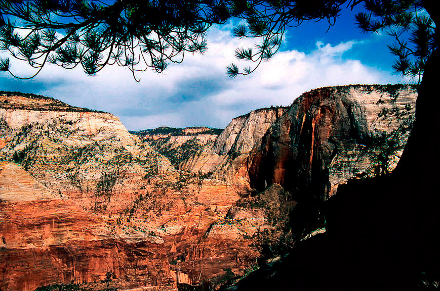
A view cross canyon from the trail into Echo Canyon and the sandstone cliffs beyond.
15
|
 |
A view down stream from the connecting ridge looking over "The Organ" into "Echo Canyon".
16
|
 |
Another view north up stream in Zion Canyon from "Angel's Landing" in the direction of "The Narrows".
17
|
 |
A view cross canyon to "Observation Point" from the connecting ridge to "Angel's Landing".
18
|
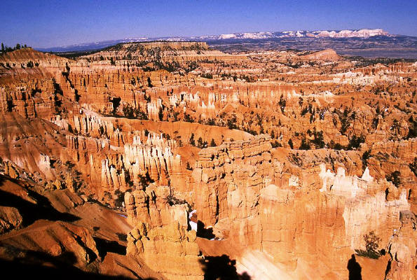 |
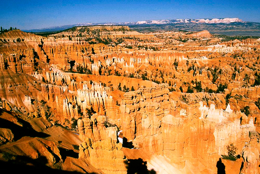
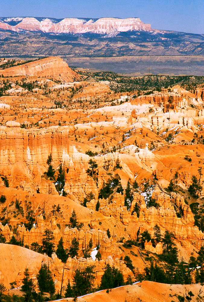
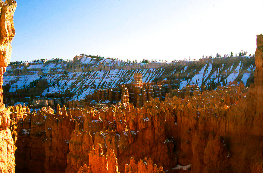
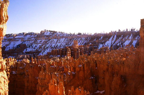
View looking north from Inspiration Point in Bryce Canyon National Park.
19
|
 |
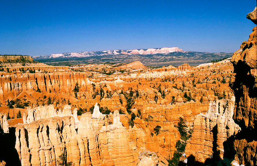
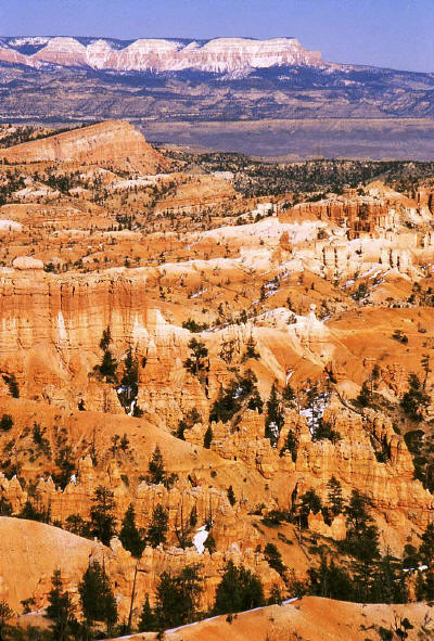
Close-up View of hoodoos looking north from Inspiration Point in Bryce Canyon National Park.
20
|
 |
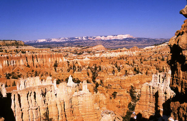
Zoomed view of hoodoos looking north from Inspiration Point in Bryce Canyon National Park toward Powell Point on the horizon.
21
|
 |
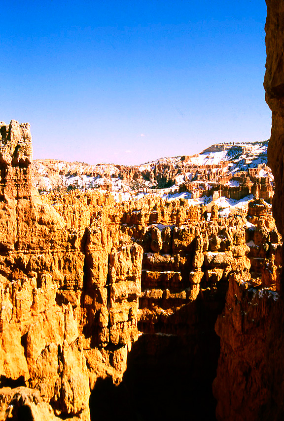
View of sandstone hoodoos along the trail that descends into the canyon form Sunset Point.
22
|
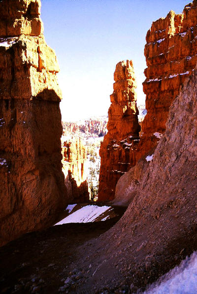 |
Another view of sandstone hoodoos along the trail that descends into the canyon form Sunset Point.
23
|
 |
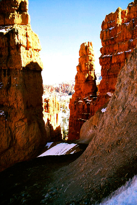
Close-up view of sandstone hoodoos along the trail that descends into the canyon form Sunset Point.
24
|
 |
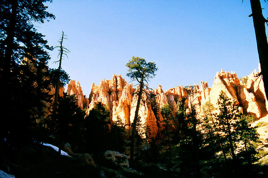
View of sandstone hoodoos near Bryce Creek along the trail that descends into the canyon form Sunset Point.
25
|
 |
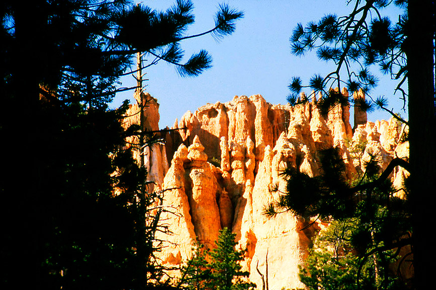
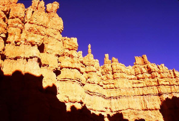
Zoomed view of sandstone hoodoos.
26
|
 |
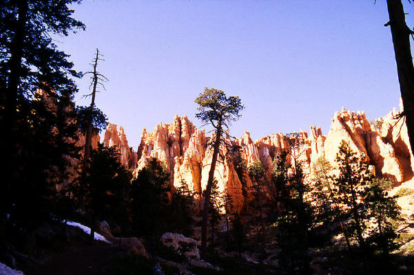
View from below Sunset Point southwest to the rim above.
27
|
 |
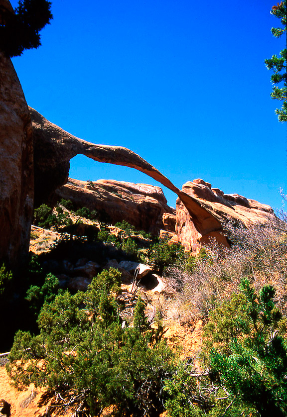
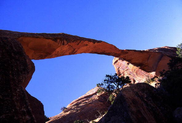
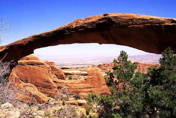
View of "Landscape Arch" in Arches National Park from the access trail.
28
|
 |
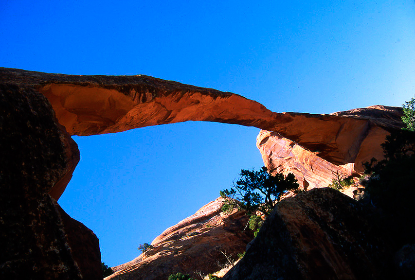
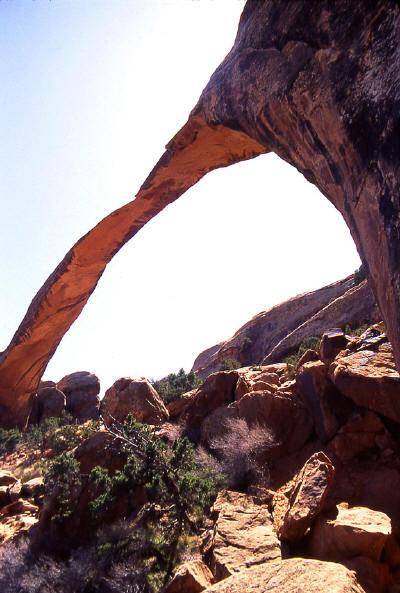
Close-up and almost under view of "Landscape Arch" from the access trail.
29
|
 |
Another close-up and under view of "Landscape Arch" from the access trail.
30
|
 |
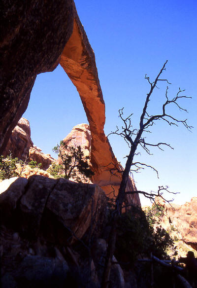
View of "Landscape Arch" from the access trail as it goes under the arch and climbs the cliff face beyond.
31
|
 |
Close-up and edge on view of "Landscape Arch".
32
|
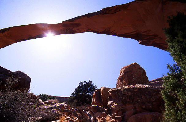 |
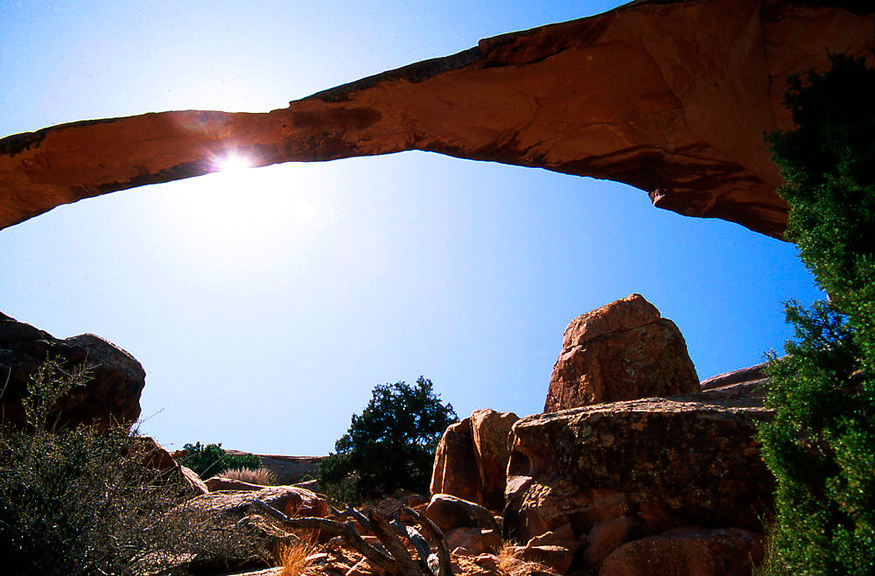
Sun flare from an almost under view of "Landscape Arch".
33
|