 |
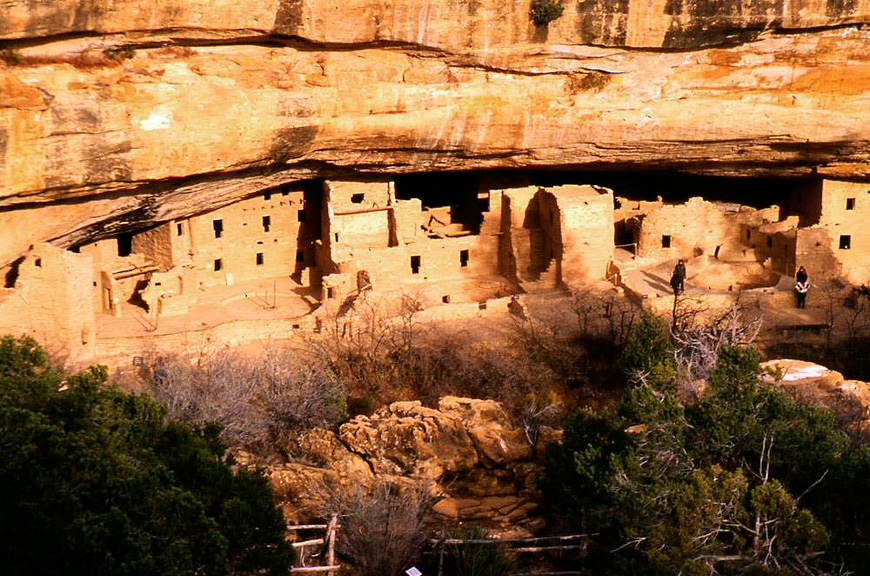
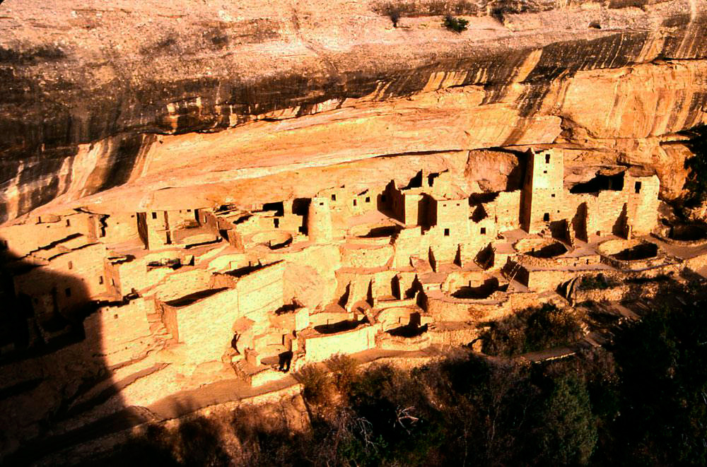
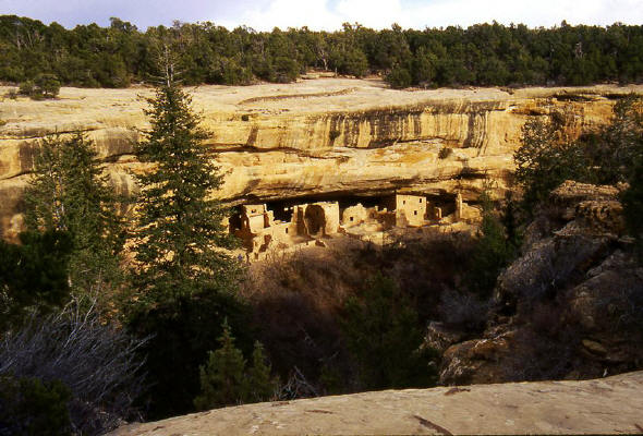
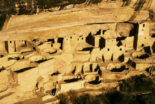
View of Spruce Tree House cliff dwelling from a sandstone mesa adjacent to the Museum at Mesa Verde National Park near Durango, Colorado.
1
|
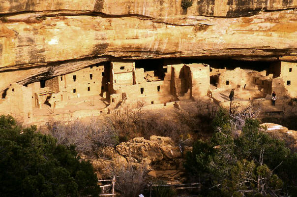 |
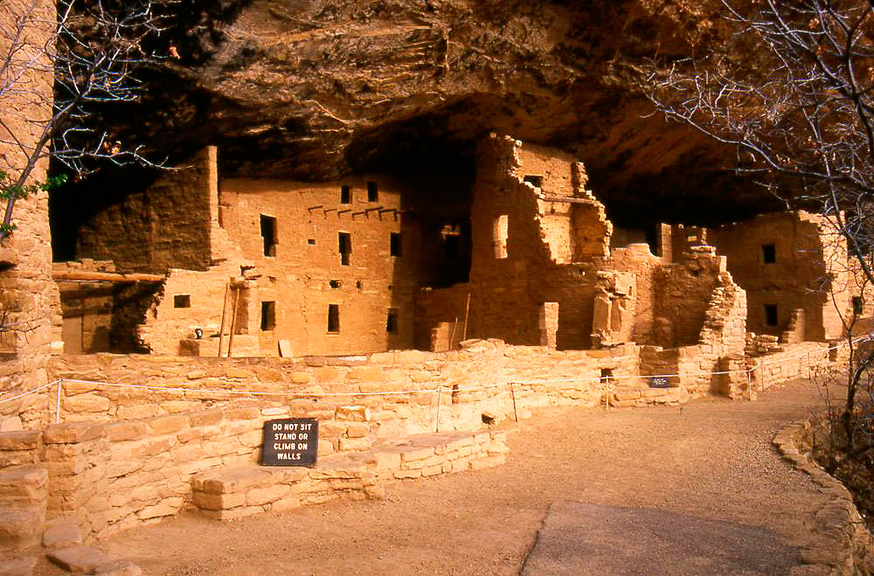
Close-up view of Spruce Tree House ruin adjacent to the Museum at Mesa Verde National Park.
2
|
 |
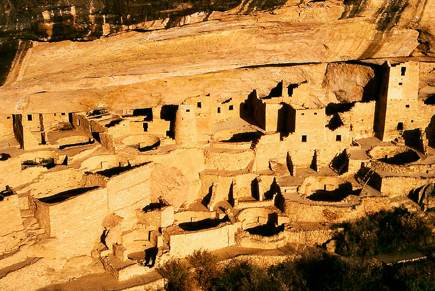
View of the main Spruce Tree House platform. Spruce Tree House ruin is the third largest cliff dwelling at Mesa Verde National Park.
3
|
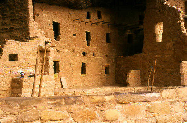 |
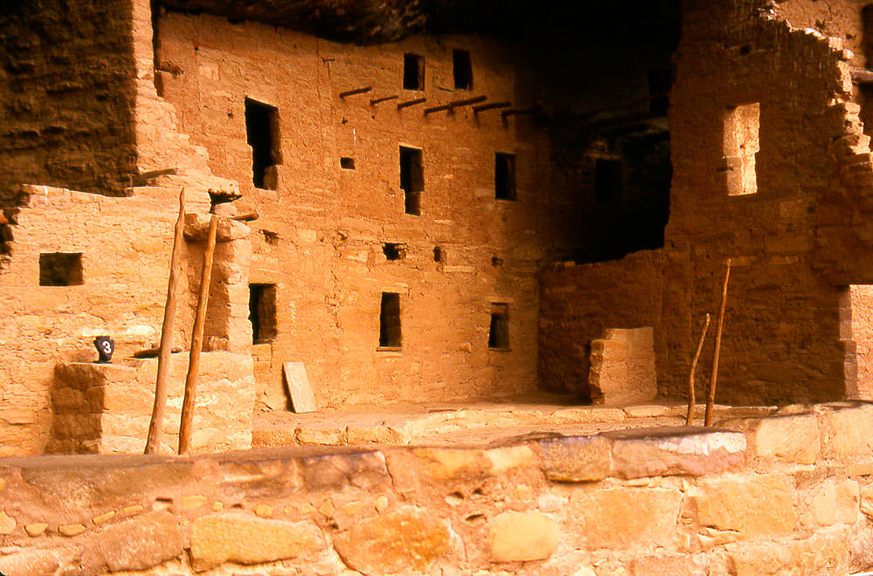
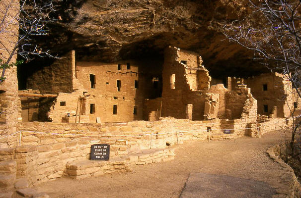
Close-up View of Spruce Tree House ruin. Spruce Tree House had 114 rooms and 8 kivas.
4
|
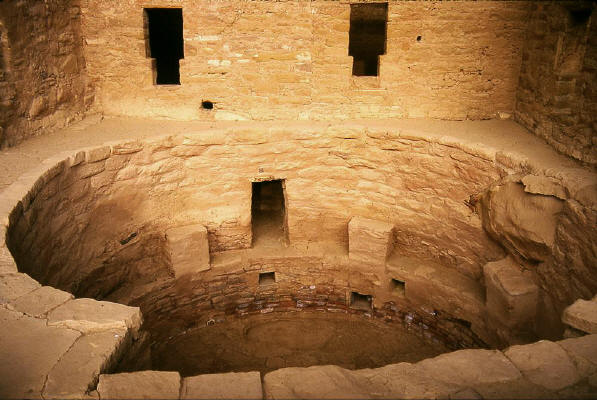 |
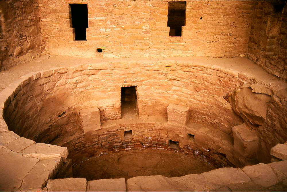
View into Kiva at Spruce Tree House ruin. Spruce Tree House housed approximately 125 to 150 people.
5
|
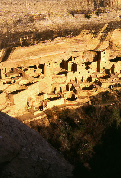 |
View of Cliff Palace from the opposite mesa canyon wall. Cliff Palace is the largest cliff dwelling in the Park.
6
|
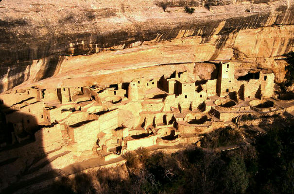 |
Close-up view of Cliff Palace from the position of the previous image. Cliff Palace had 217 rooms and 23 Kivas.
7
|
 |
Zoomed view of Cliff Palace. Cliff Palace housed approximately 250 people and it's construction started around 1150 A.D.
8
|
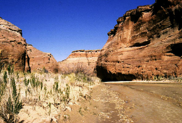 |
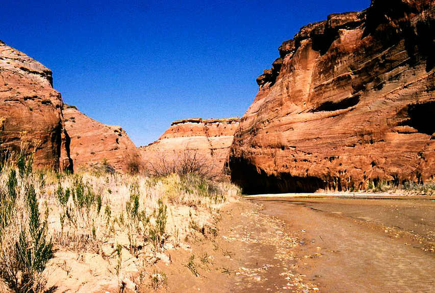
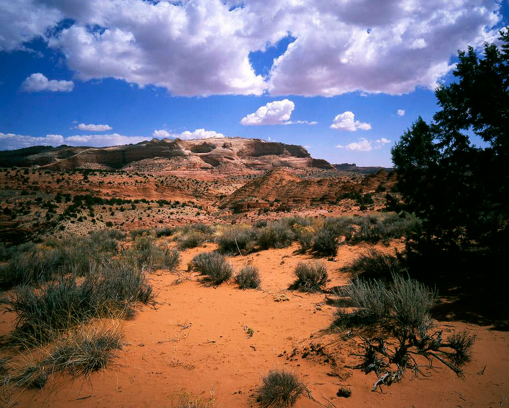
View looking downstream in the Paria River on the way to Buckskin Gulch.
9
|
 |
Continuing downstream in the Paria River on the way to Buckskin Gulch.
10
|
 |
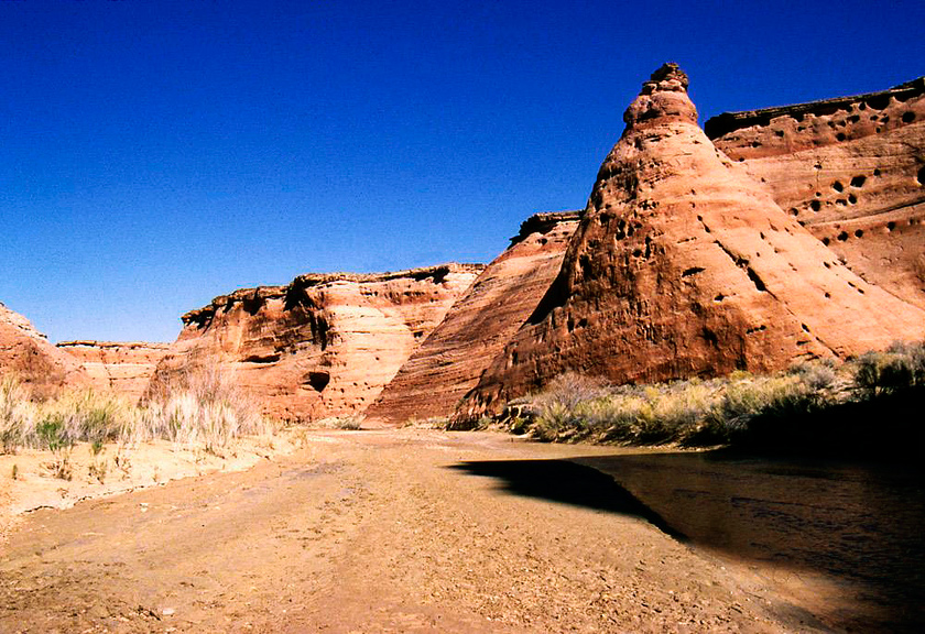
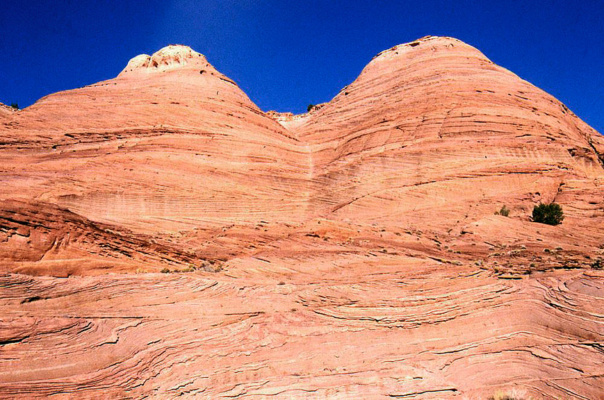
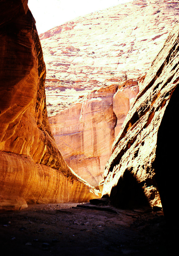
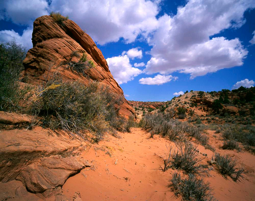
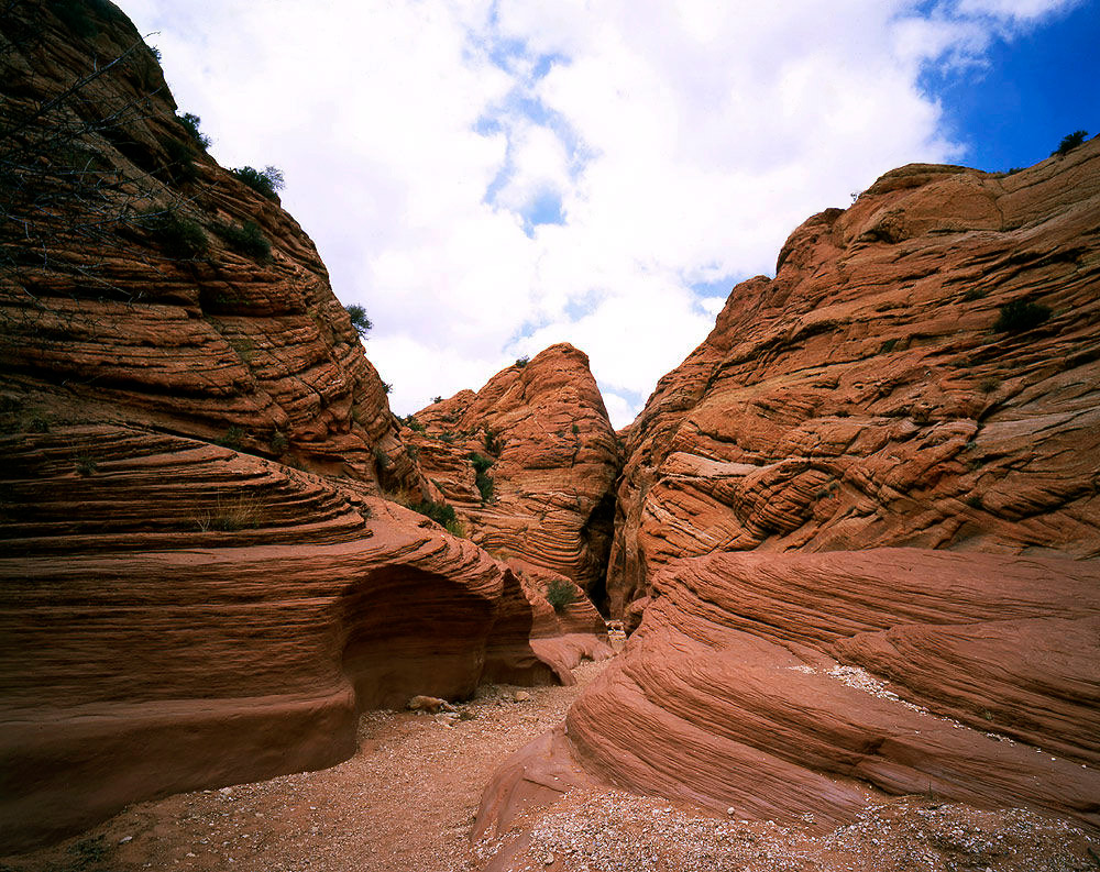
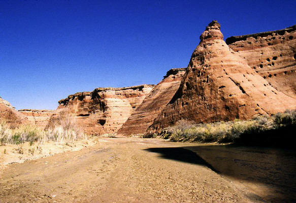
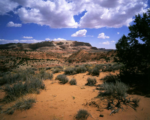
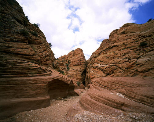
Sandstone formations along the Paria River.
11
|
 |
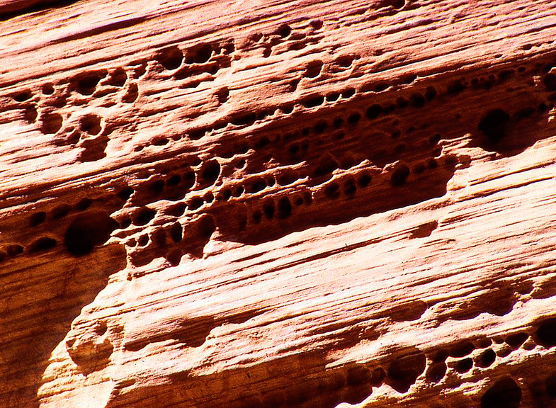
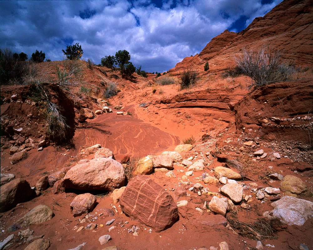
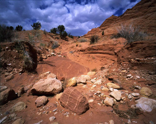
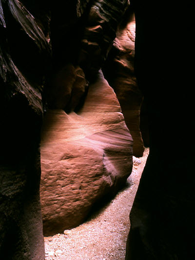
Erosion affects on the sandstone adjacent to the Paria River.
12
|
 |
View looking upstream of "Slide-rock" in Paria Canyon.
13
|
 |
View looking downstream from under "Slide-rock" in Paria Canyon.
14
|
 |
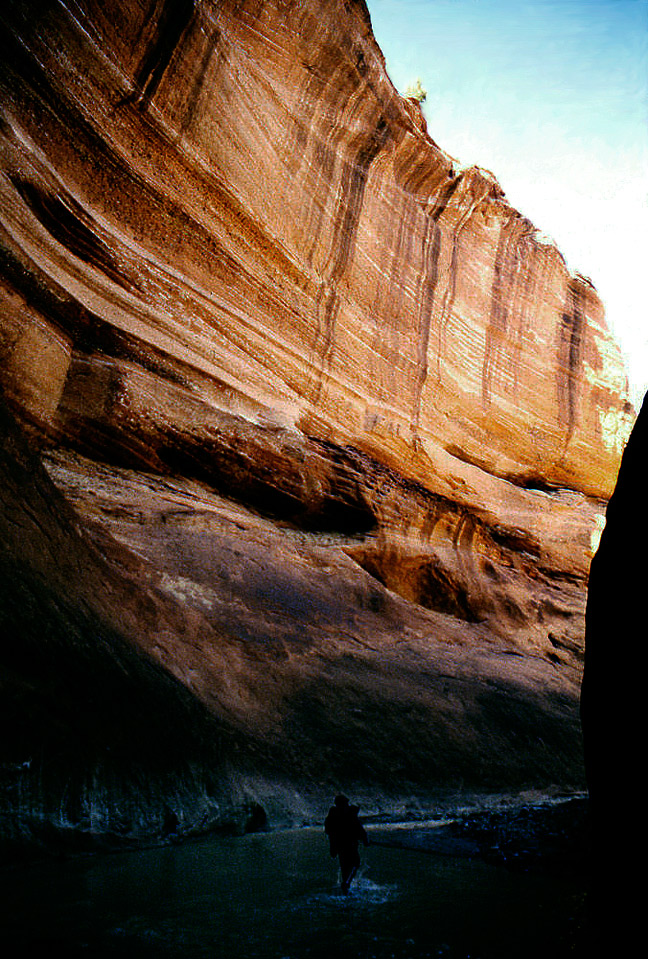
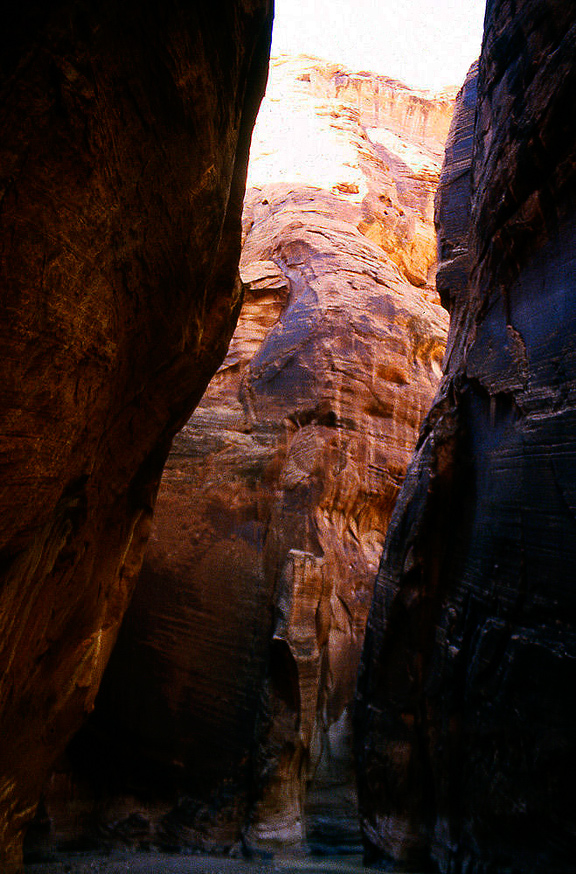
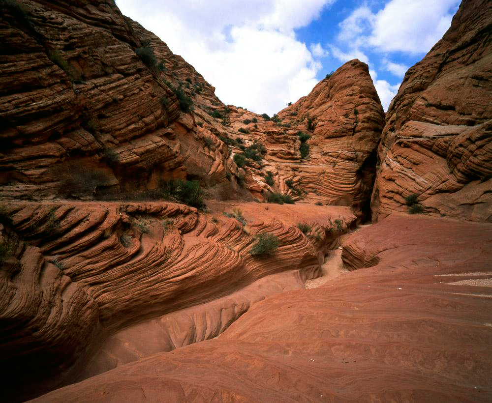
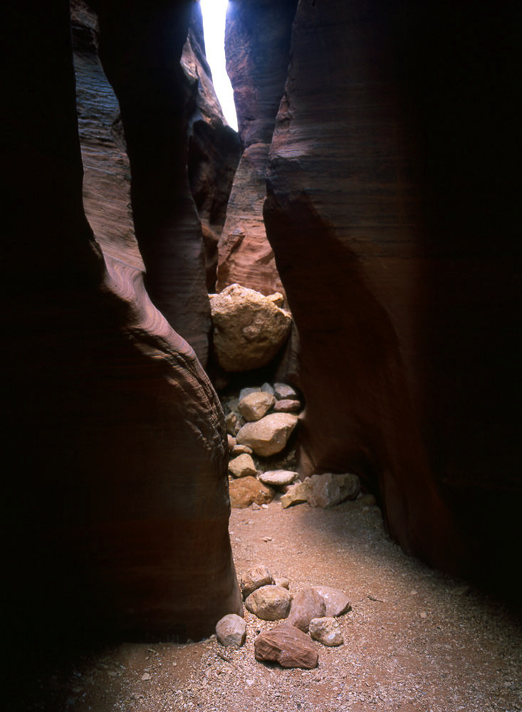
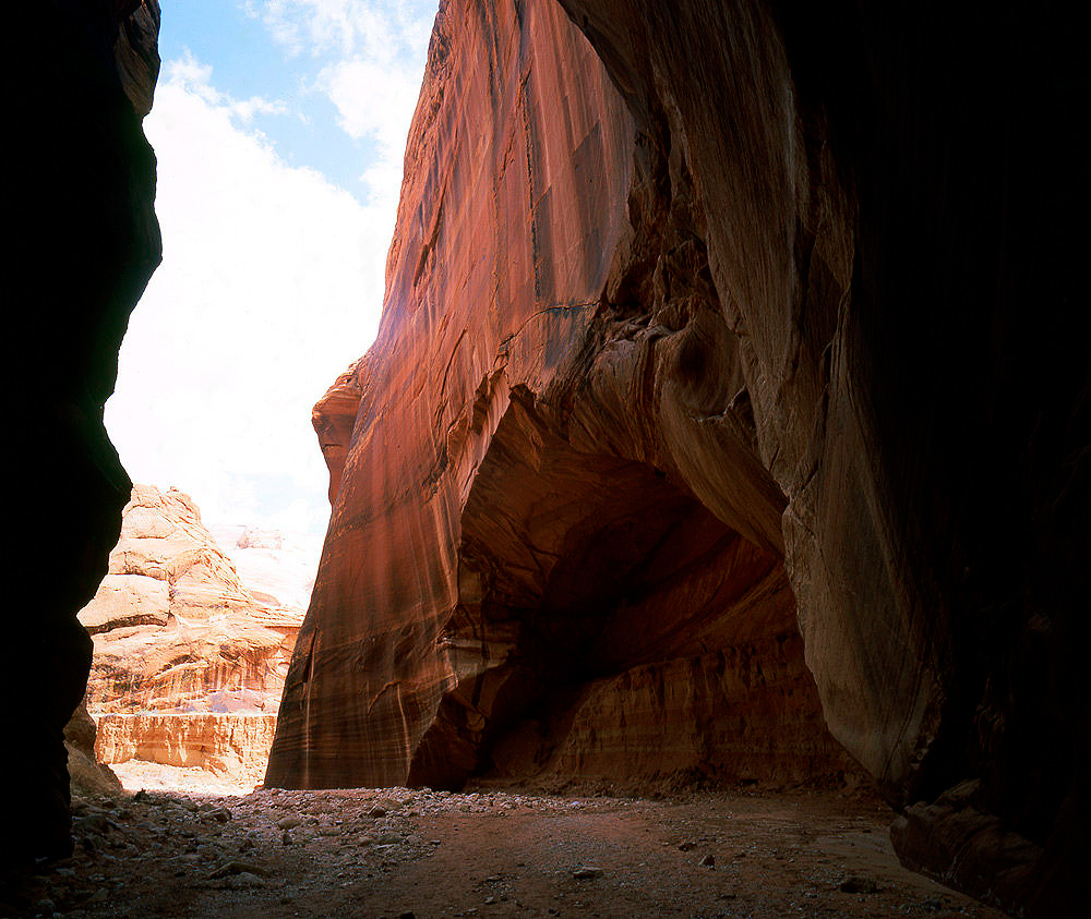
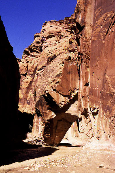
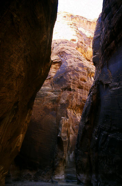
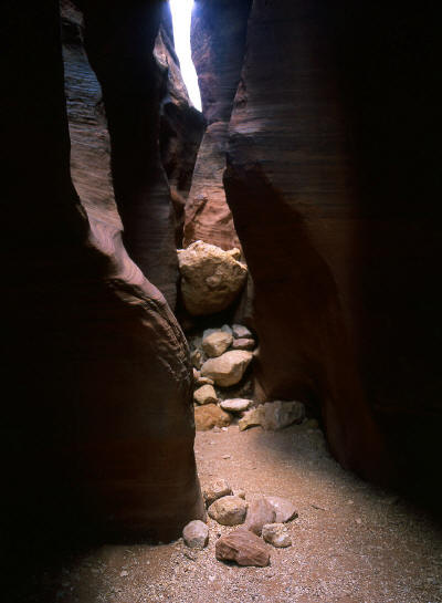
Sandstone enclosure in Paria Canyon.
15
|
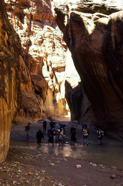 |
Boy Scout group hiking downstream in the Paria River drainage.
16
|
 |
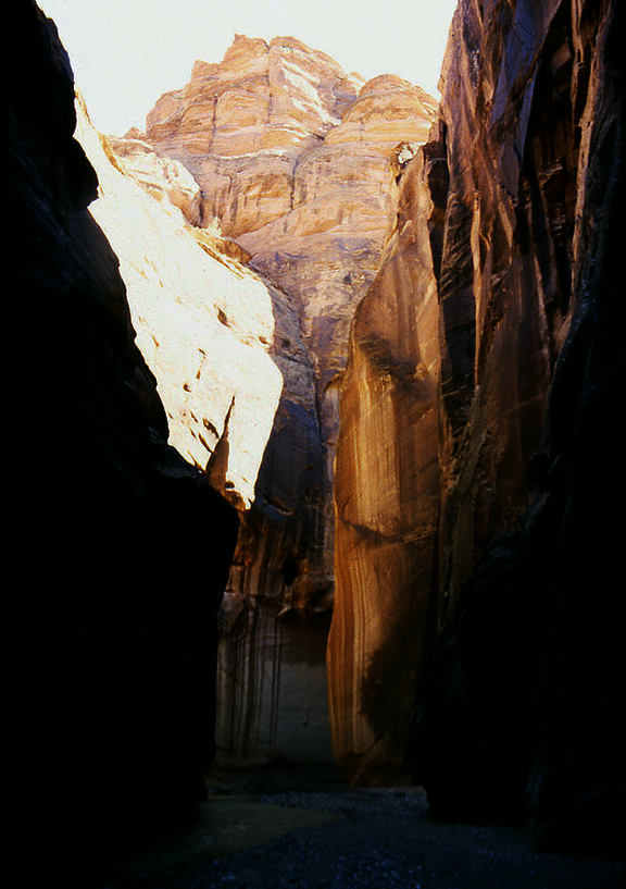
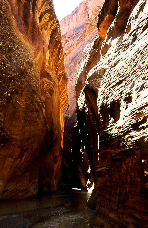
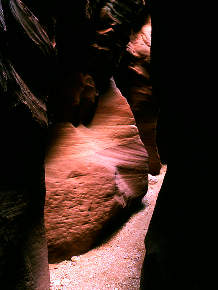
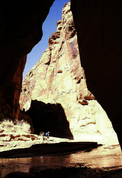
Continuing downstream in Paria Canyon to the confluence with Buckskin Gulch.
17
|
 |
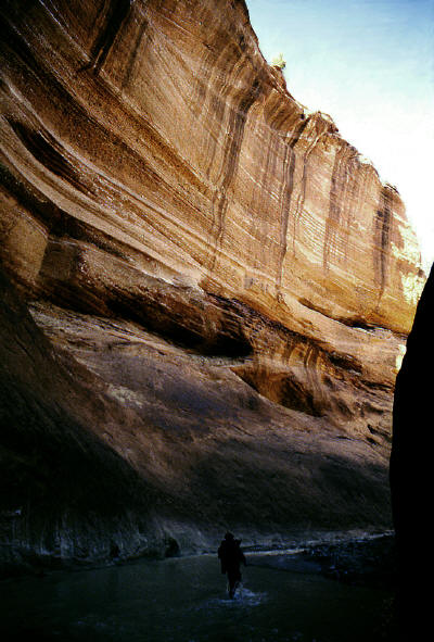
Continuing downstream in Paria Canyon to the confluence with Buckskin Gulch.
18
|
 |
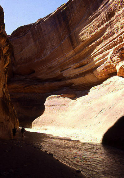
Continuing downstream in Paria Canyon to the confluence with Buckskin Gulch.
19
|
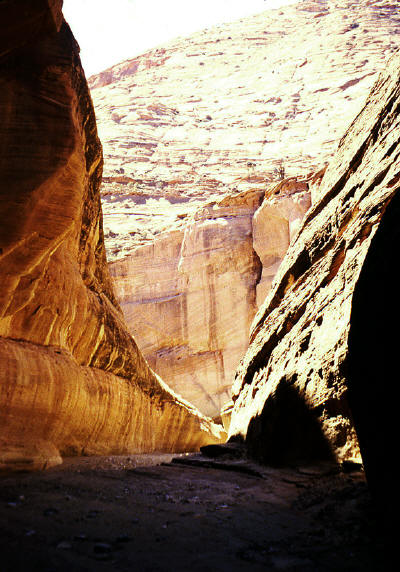 |
Continuing downstream in Paria Canyon to the confluence with Buckskin Gulch.
20
|
 |
Continuing downstream in Paria Canyon to the confluence with Buckskin Gulch.
21
|
 |
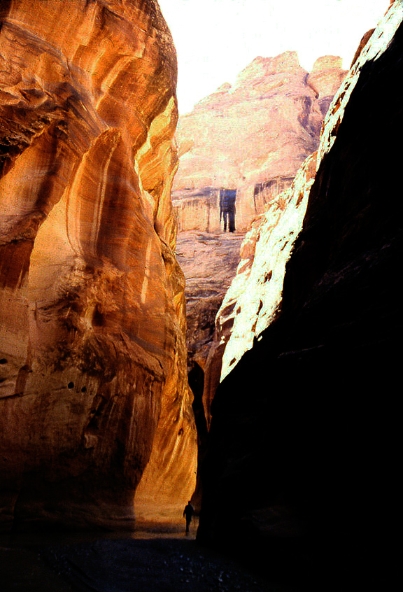
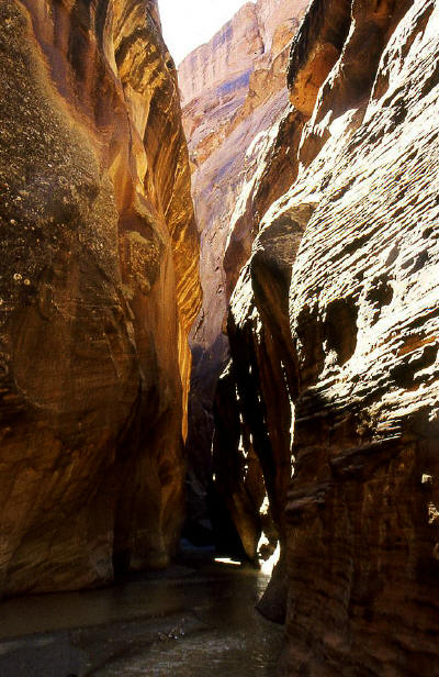
Looking upstream at the confluence of the Paria River and Buckskin Gulch.
22
|
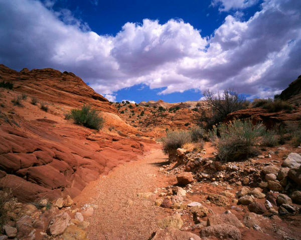 |
Looking downstream near the start of the trail to Wire Pass near Page, AZ. The trail follows the bed of an intermittent stream.
23
|
 |
Sandstone formation along the trail to Wire Pass.
24
|
 |
Looking up a side drainage along the trail to Wire Pass.
25
|
 |
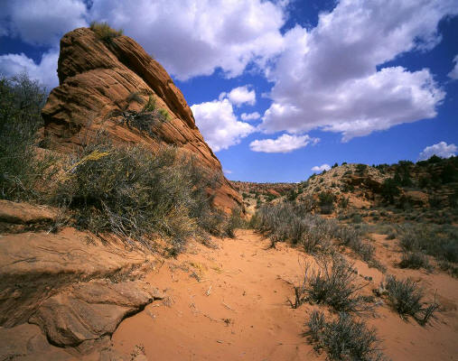
Looking east to large sandstone formations from a bench above the trail to Wire Pass.
26
|
 |
Narrow trail carved out of solid sandstone approaching Wire Pass.
27
|
 |
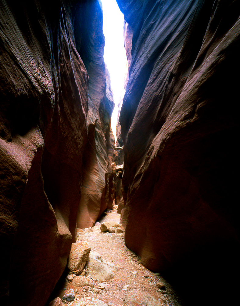
Looking downstream at the slot canyon in the dry creek bed that is the trail into Wire Pass.
28
|
 |
Looking upstream at a five foot drop off in the slot canyon floor. In April 2002 there was a second drop
off about eight foot deep nearby. In March 1998 there were no drop offs.
29
|
 |
Looking downstream from the previous image.
30
|
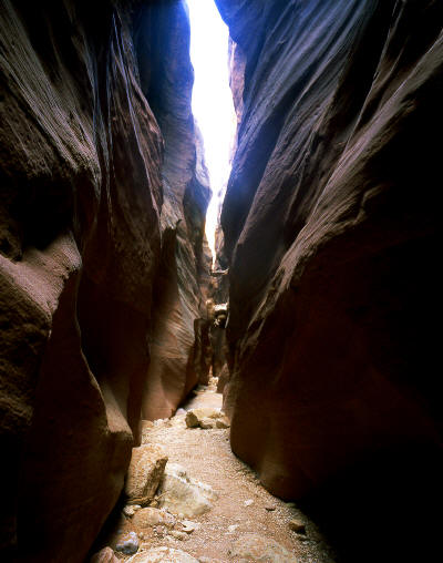 |
Another view inside "Wire Pass". This slot canyon narrows to just less than three feet wide.
31
|
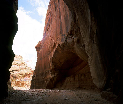 |
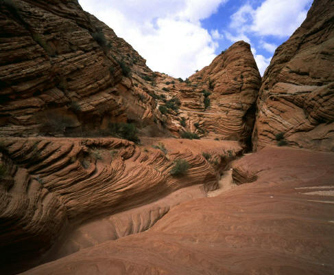
The east end of the Wire Pass slot canyon drops into Buckskin Gulch. This huge sandstone alcove marks the termination of Wire Pass.
32
|